Plizio Visual Lab
Indalsälven
Weather…
Water temperature…
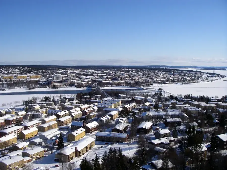
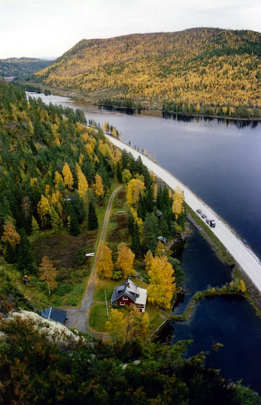
Indalsälven is one of Sweden's most powerful and longest rivers, stretching approximately 430 kilometers from its source. It originates in the mountains of Jämtland near the Norwegian border, flows through the Storsjön lake system, and empties into the Bothnian Sea near Timrå. The river is of immense economic significance, hosting 26 hydroelectric power stations that make it one of the nation's most vital renewable energy sources. A notable historical event occurred in 1796 at Döda fallet (The Dead Fall), where a failed canal project caused an entire lake to drain in hours, permanently silencing the original waterfall. The landscape along the river ranges from dense coniferous forests to wide valleys shaped by the last ice age. Today, the Indalsälven delta is a protected nature reserve, serving as an important resting ground for migratory birds and a popular destination for recreational fishing.
- Location: Sweden
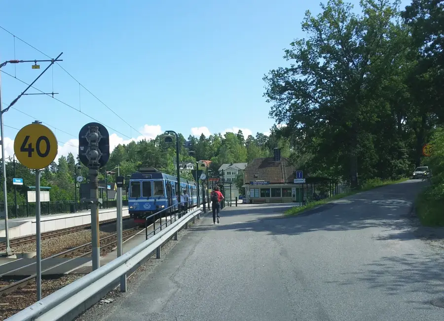
- Nearby: Stavreviken (70 km)
Best time to visit & climate
The most pleasant time to visit is Jun–Aug.
| Jan | Feb | Mar | Apr | May | Jun | Jul | Aug | Sep | Oct | Nov | Dec | |
|---|---|---|---|---|---|---|---|---|---|---|---|---|
| Avg °C | -8 | -8 | -4 | 2 | 8 | 12 | 15 | 13 | 9 | 2 | -3 | -6 |
| Rain mm | 58 | 42 | 47 | 50 | 73 | 87 | 108 | 106 | 83 | 77 | 64 | 65 |
📋 Practical info
Geography
Facts
- The total length of the river is approximately 430 kilometers.
- The drainage basin covers an area of 26,700 square kilometers.
- The river features a total of 26 hydroelectric power plants.
- In 1796, an engineering disaster led to the creation of the Döda fallet site.
- At its mouth, the river forms one of Sweden's largest coastal deltas.
- Until the 1960s, the Indalsälven was a primary route for timber floating.
Explore nearby
Notable places around
Route planner — Car & Motorhome
Where do you start? We build the route here, with stops and country notes along the way.
© OpenStreetMap contributors · OpenRouteService
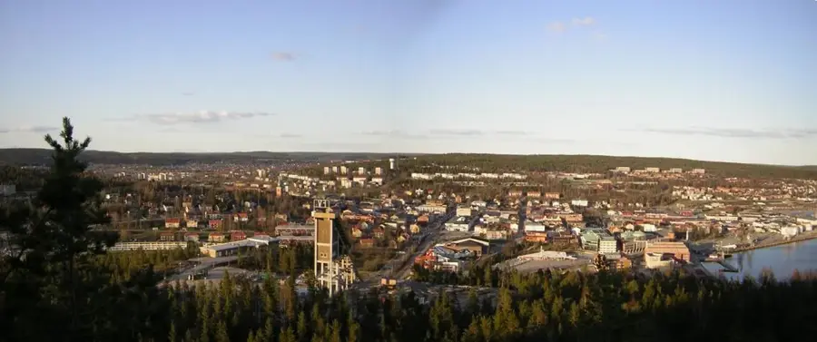
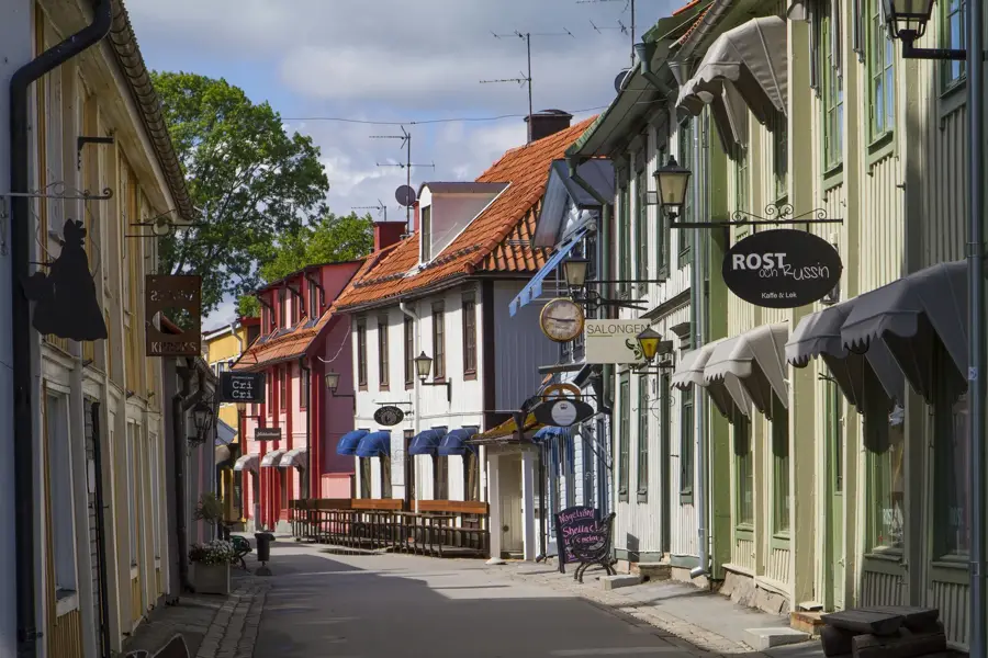
Sights in the town Indalsälven (1)
Sights nearby
Frequently asked questions
What is the river mainly used for?
What is 'Döda fallet' on the river?
Are there salmon there?
Can you go canoeing on the river?
Where does the river empty?
Indalsälven: where is it located?
Indalsälven: when is the best time to visit?
Indalsälven: why is it worth visiting?

Nearby cities