Plizio Visual Lab
Xaysimo Highlands

Weather…
Water temperature…
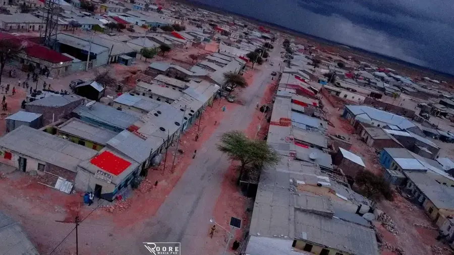
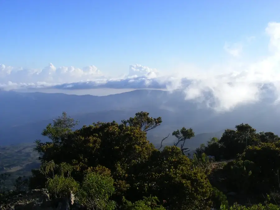
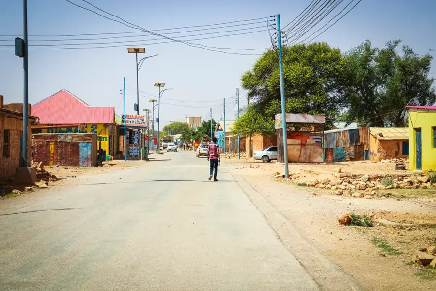
The Xaysimo Highlands is a rugged plateau in northern Somalia, spanning the regions of Sool and Sanaag. This geographical zone is part of the inner Somali plateau and is characterized by its barren, rocky topography and vast plains interrupted by deep valleys. The climate is semi-arid, limiting vegetation to thorny scrub and seasonal grasses that are essential for the region's traditional camel husbandry. Geologically, the highlands consist primarily of marine sediments and limestone, resulting in a fascinating landscape of flat-topped mesas and tablelands. Historically, the Xaysimo Highlands were a significant theater of resistance for the Somali Dervish movement against colonial powers during the early 20th century. The region's remoteness has contributed to the preservation of the nomadic lifestyle and traditional social structures of the local clans. Despite challenging climatic conditions, the highlands possess significant groundwater reserves in deep aquifers, which are increasingly being tapped through modern boreholes to support local communities.
- Location: Somalia
- Nearby: El Afweyn (54 km)
Best time to visit & climate
The most pleasant time to visit is Jan, Feb, Dec.
| Jan | Feb | Mar | Apr | May | Jun | Jul | Aug | Sep | Oct | Nov | Dec | |
|---|---|---|---|---|---|---|---|---|---|---|---|---|
| Avg °C | 23 | 23 | 26 | 28 | 30 | 32 | 32 | 32 | 31 | 27 | 25 | 23 |
| Rain mm | 4 | 4 | 12 | 43 | 22 | 11 | 5 | 14 | 14 | 28 | 13 | 9 |
📋 Practical info
Geography
Facts
- The Xaysimo Highlands sit at an average elevation of 800 to 1,100 meters.
- The region is a primary territory for the Dhulbahante clan members.
- Annual rainfall in the highlands is typically less than 200 mm.
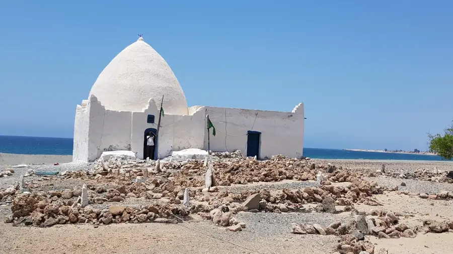
- Historic fortress ruins from the Dervish era are scattered across the plateau.
- The town of Taleh, a significant historical capital, is located within this system.
- Large herds of the Somali wild ass were historically sighted in this region.
Explore nearby
Notable places around
Route planner — Car & Motorhome
Where do you start? We build the route here, with stops and country notes along the way.
© OpenStreetMap contributors · OpenRouteService
Sights in the town Xaysimo Highlands (1)
Sights nearby
Frequently asked questions
What is the vegetation like in Xaysimo Highlands?
Are there marked hiking trails?
Is camping in the forests allowed?
What animals can be observed there?
Is the highland visitable all year?
Xaysimo Highlands: where is it located?
Xaysimo Highlands: when is the best time to visit?
Xaysimo Highlands: why is it worth visiting?

Nearby cities
More places