Plizio Visual Lab
Surud Cad Heights

Weather…
Water temperature…
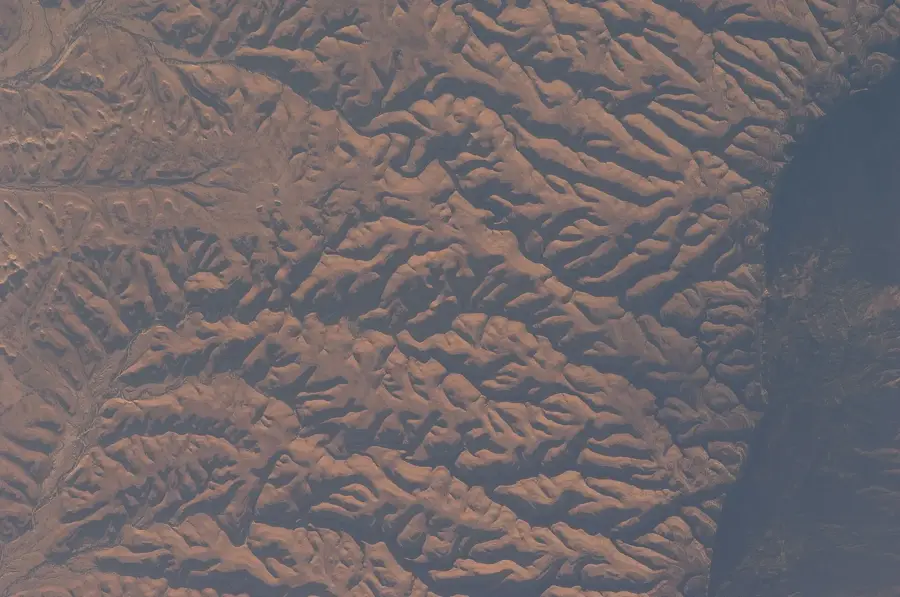
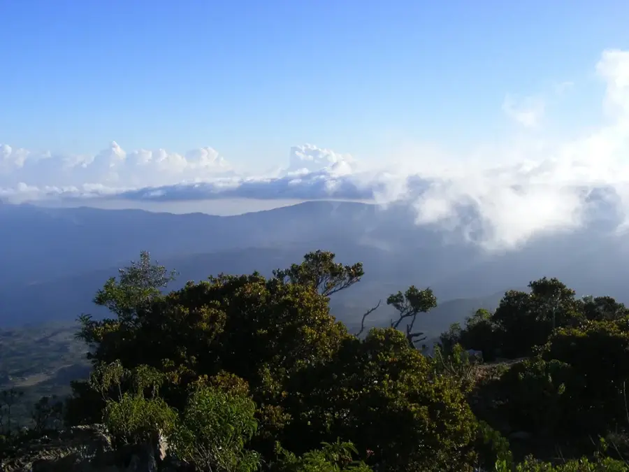
The Surud Cad Heights in the Sanaag region are part of the Cal Madow mountain range and host the highest point in Somalia. This high mountain landscape is characterized by a cooler microclimate and an exceptional flora for the Horn of Africa, including dense stands of the East African juniper (Juniperus procera). Geologically, the heights consist predominantly of limestone and sandstone plateaus, which are ruggedly fragmented by deep gorges. The mountain range captures moisture from the air during the monsoon season, leading to the formation of cloud forests that house a variety of endemic plant and animal species. Historically, the region was a retreat and a bastion for local sultanates as well as for the Dervish movement at the beginning of the 20th century. The accessibility of the heights is severely limited due to steep slopes and the lack of modern infrastructure, which has contributed to the preservation of the natural environment. The view from the peaks gives a panorama over the Gulf of Aden as far as the Yemeni coast in clear weather.
- Location: Somalia
- Nearby: Cal Madow (6 km)
Best time to visit & climate
The most pleasant time to visit is Jan, Feb, Dec.
| Jan | Feb | Mar | Apr | May | Jun | Jul | Aug | Sep | Oct | Nov | Dec | |
|---|---|---|---|---|---|---|---|---|---|---|---|---|
| Avg °C | 21 | 23 | 25 | 27 | 29 | 29 | 29 | 29 | 29 | 26 | 23 | 22 |
| Rain mm | 3 | 4 | 11 | 40 | 24 | 31 | 11 | 29 | 21 | 24 | 14 | 10 |
📋 Practical info
Geography
Facts
- Shimbiris is the highest peak of the Surud Cad Heights at 2,416 meters.
- The average temperature in the high altitudes is about 15 to 20 degrees Celsius.
- The area hosts the world's largest wild populations of Boswellia frereana.
- The limestone formations date back to the Jurassic and Cretaceous periods.
- The annual precipitation rate can reach up to 800 mm here.
- The endemic Warsangli Linnet lives in these forests.
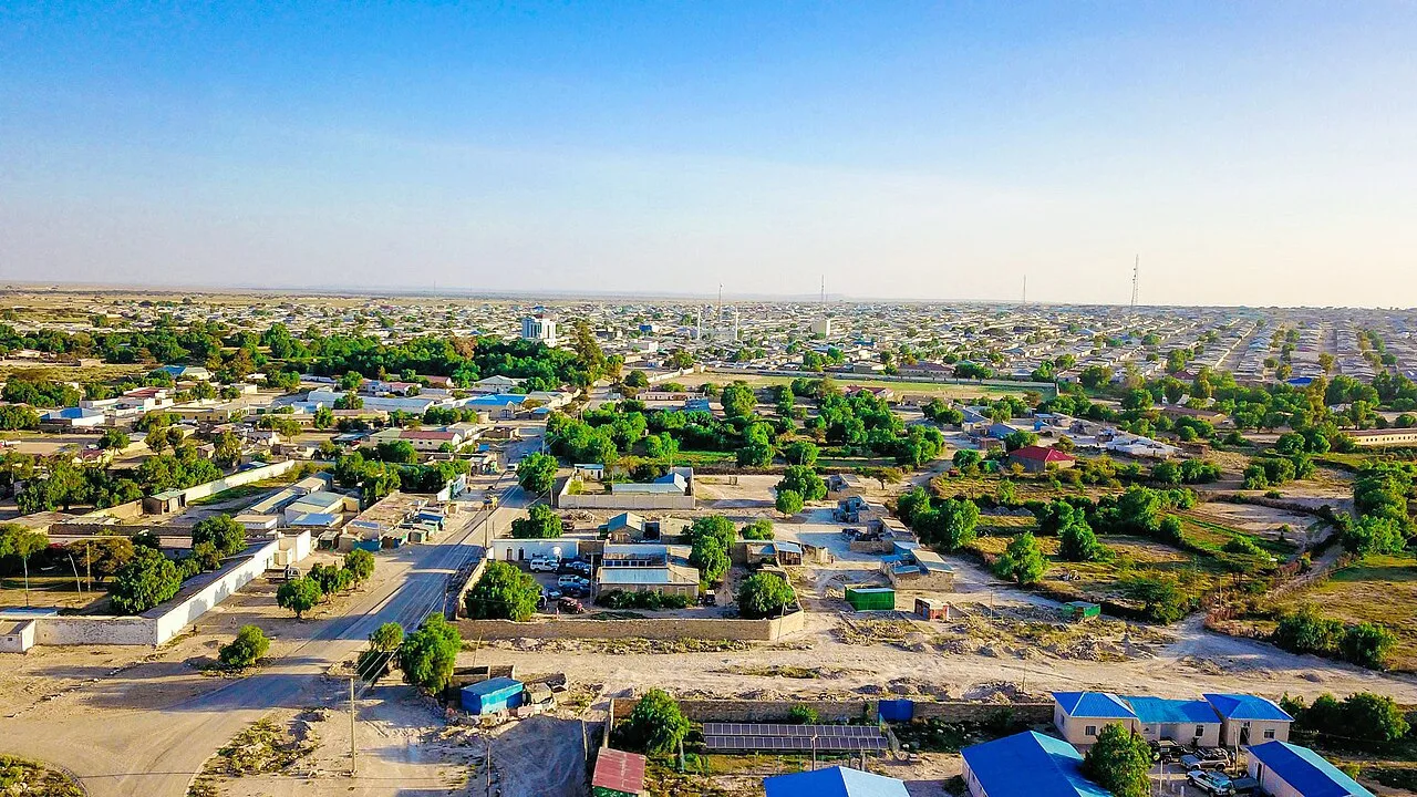
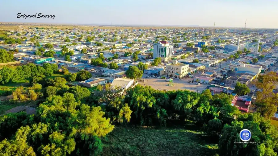
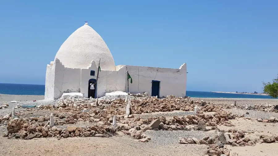
Explore nearby
Notable places around
Route planner — Car & Motorhome
Where do you start? We build the route here, with stops and country notes along the way.
© OpenStreetMap contributors · OpenRouteService
Sights nearby
Frequently asked questions
Is Surud-Cad the highest mountain range?
What is the air quality like at the top?
Are there guided tours?
Is it dangerous due to the altitude?
Can you hike there all year?
Surud Cad Heights: where is it located?
Surud Cad Heights: when is the best time to visit?
Surud Cad Heights: why is it worth visiting?

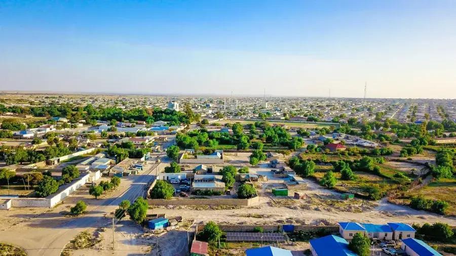
Nearby cities


More places