Plizio Visual Lab
Ayaha Plains

Weather…
Water temperature…
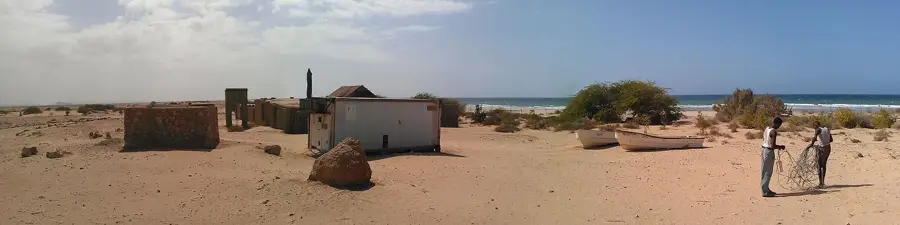
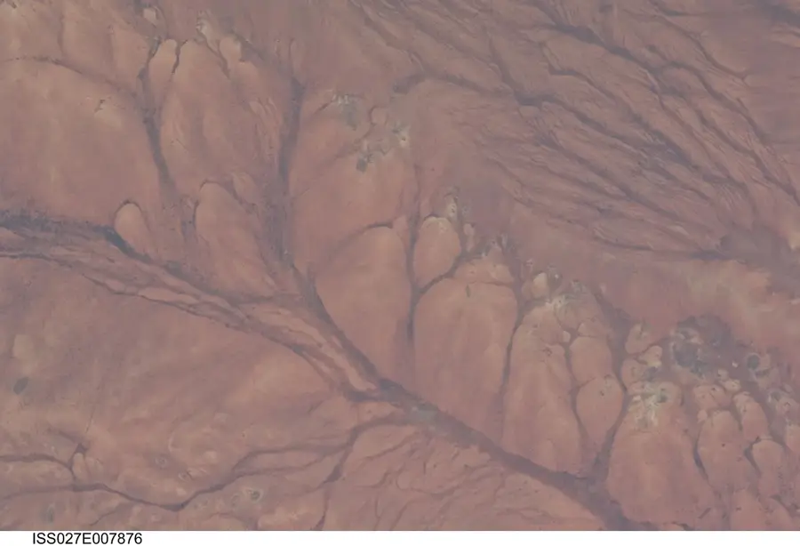
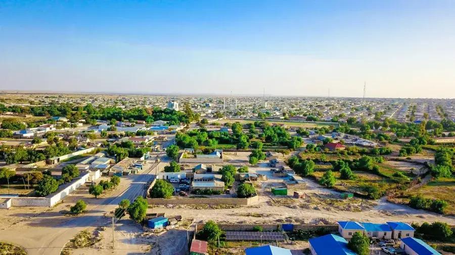
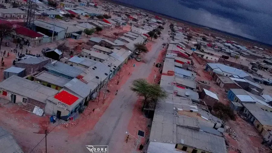
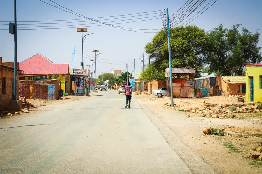
The Ayaha Plains extend across northwestern Somalia, near the coast of the Gulf of Aden in the Awdal region. This barren coastal plain is characterized by vast, flat areas with sparse vegetation, consisting mainly of salt-tolerant grasses and thorny shrubs. The geology of the Ayaha Plains is of volcanic origin, reflected in dark rock formations and basalt deposits. The climate is extremely arid with very low rainfall of less than 200 mm per year and high temperatures throughout the year. Despite the inhospitable conditions, the plains have historical significance as a buffer zone for the ancient port city of Zeila, which was one of the most important trade centers on the Red Sea. The topography is largely level but is occasionally interrupted by dry riverbeds, known as wadis, which carry water during rare flash floods. Today, the plains serve primarily as seasonal grazing land for nomadic communities crossing the region with their herds.
- Location: Somalia
- Nearby: Burao (34 km)
Best time to visit & climate
The most pleasant time to visit is Jan, Feb, Dec.
| Jan | Feb | Mar | Apr | May | Jun | Jul | Aug | Sep | Oct | Nov | Dec | |
|---|---|---|---|---|---|---|---|---|---|---|---|---|
| Avg °C | 21 | 22 | 25 | 26 | 28 | 28 | 28 | 28 | 28 | 25 | 22 | 21 |
| Rain mm | 4 | 4 | 12 | 56 | 30 | 23 | 9 | 21 | 22 | 29 | 19 | 7 |
📋 Practical info
Geography
Facts
- The average annual rainfall is below 200 mm.
- The plains are located in close proximity to the border with Djibouti.
- The region is part of the Danakil Depression ecoregion.
- Maximum temperatures can exceed 45 degrees Celsius in summer.
- Basalt deposits indicate quaternary volcanic activity.
- Zeila, the nearest historical city, is located just a few kilometers to the north.
Explore nearby
Notable places around
Route planner — Car & Motorhome
Where do you start? We build the route here, with stops and country notes along the way.
© OpenStreetMap contributors · OpenRouteService
Sights nearby
Frequently asked questions
Is Ayaha Plains a nature reserve?
When does the plain look greenest?
Can you wild camp there?
Do you need a permit to drive through?
What is the best vehicle for this plain?
Ayaha Plains: where is it located?
Ayaha Plains: when is the best time to visit?
Ayaha Plains: why is it worth visiting?

Nearby cities
More places