Plizio Visual Lab
Ceerigaabo Uplands

Weather…
Water temperature…
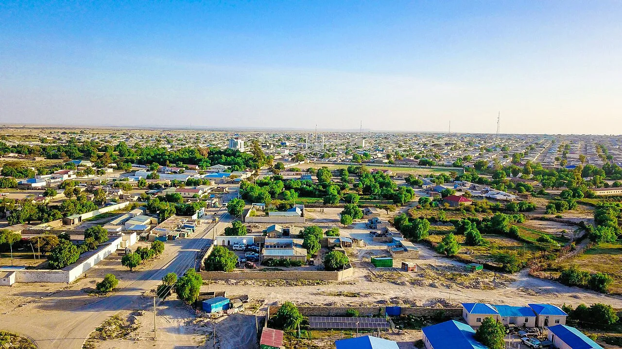
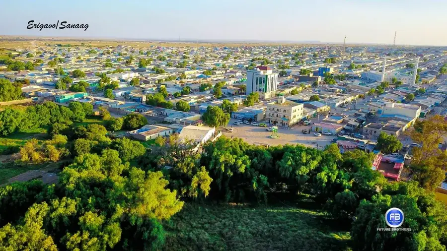
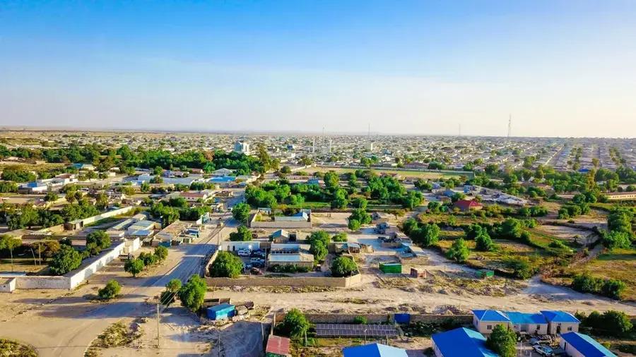
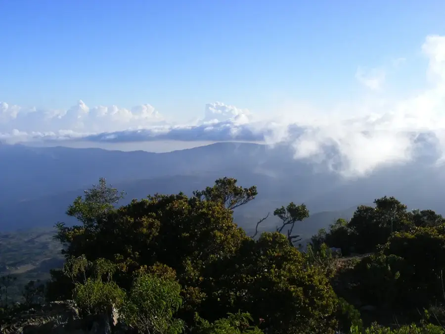
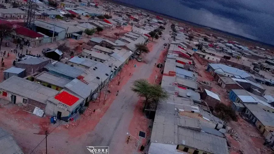
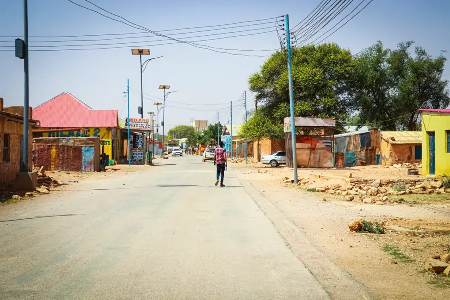
The Ceerigaabo Uplands are located in the Sanaag region of northern Somalia, forming one of the most ecologically diverse and visually remarkable areas in the country. Situated at an average elevation of 1,700 meters above sea level, the uplands enjoy a significantly cooler and more humid climate than the surrounding coastal plains. Geologically, the plateau is characterized by limestone formations and rugged cliffs that belong to the Golis mountain range. The city of Ceerigaabo serves as the central hub of this region, which is famous for its abundance of aromatic resins, specifically frankincense and myrrh. The local vegetation is unique, featuring ancient juniper forests and endemic plant species that thrive in the highland air. Nearby, Mount Shimbiris rises as the highest peak in Somalia, reaching approximately 2,450 meters. The uplands act as a critical watershed, where seasonal rains replenish the groundwater for the surrounding valleys. Historically, this area was a key part of the ancient trade routes that supplied aromatic goods to Egypt and the Roman Empire.
- Location: Somalia
- Top sights: Ceel Ileed · laan qiciye
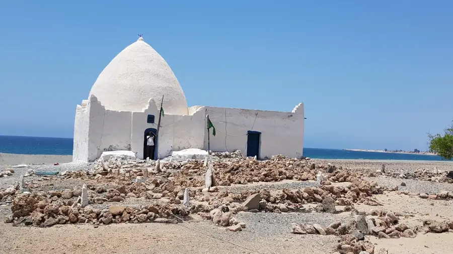
- Nearby: Erigavo (8 km)
Best time to visit & climate
The most pleasant time to visit is Mar, Jul, Oct.
| Jan | Feb | Mar | Apr | May | Jun | Jul | Aug | Sep | Oct | Nov | Dec | |
|---|---|---|---|---|---|---|---|---|---|---|---|---|
| Avg °C | 17 | 19 | 22 | 23 | 24 | 23 | 22 | 23 | 23 | 21 | 19 | 17 |
| Rain mm | 3 | 3 | 9 | 31 | 22 | 28 | 11 | 33 | 19 | 22 | 12 | 6 |
📋 Practical info
Geography
Facts
- The average elevation of the plateau is about 1,700 meters above sea level.
- Mount Shimbiris (2,450 m) is the highest mountain in all of Somalia.
- The region is a global center for high-quality frankincense production.
- Ancient juniper forests (Juniperus procera) are found in the higher elevations.
- Winter night temperatures can drop significantly, sometimes reaching 0°C.
- Ceerigaabo is located approximately 270 km inland from the Gulf of Aden.
Explore nearby
Notable places around
Route planner — Car & Motorhome
Where do you start? We build the route here, with stops and country notes along the way.
© OpenStreetMap contributors · OpenRouteService
Sights in the town Ceerigaabo Uplands (2)
Sights nearby
Frequently asked questions
How high are the Ceerigaabo uplands?
Is it cooler there than at the coast?
Do you need hiking gear?
Is the area suitable for nature lovers?
Are there excellent hiking routes there?
Ceerigaabo Uplands: where is it located?
Ceerigaabo Uplands: what is there to see?
Ceerigaabo Uplands: when is the best time to visit?
Ceerigaabo Uplands: why is it worth visiting?

Nearby cities
More places