Plizio Visual Lab
Ceerigaabo Uplands
Weather…
Water temperature…
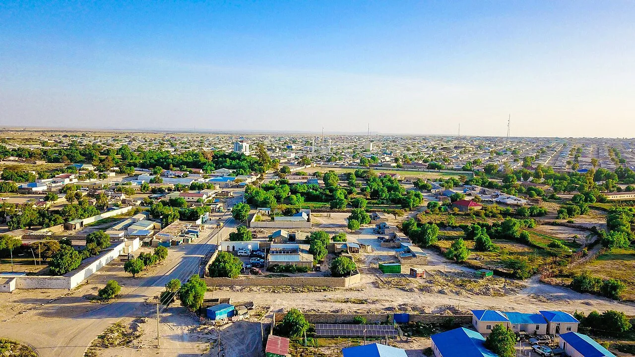
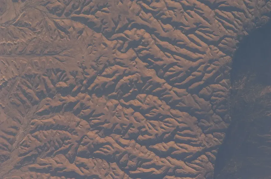
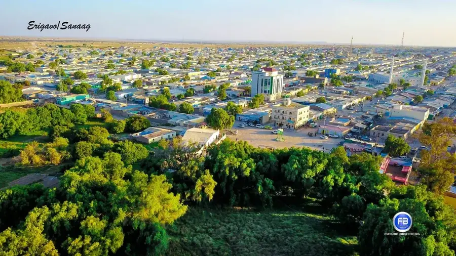
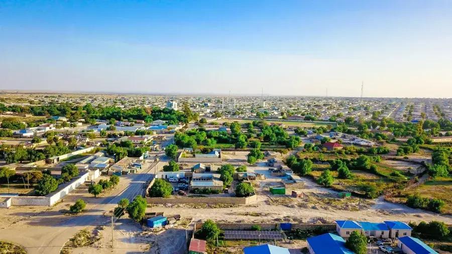
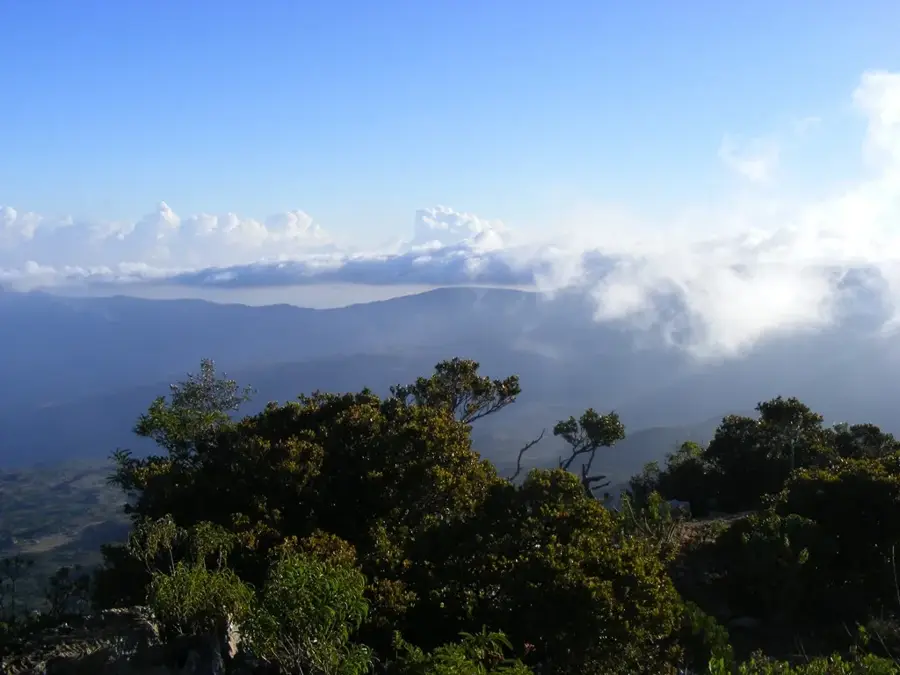
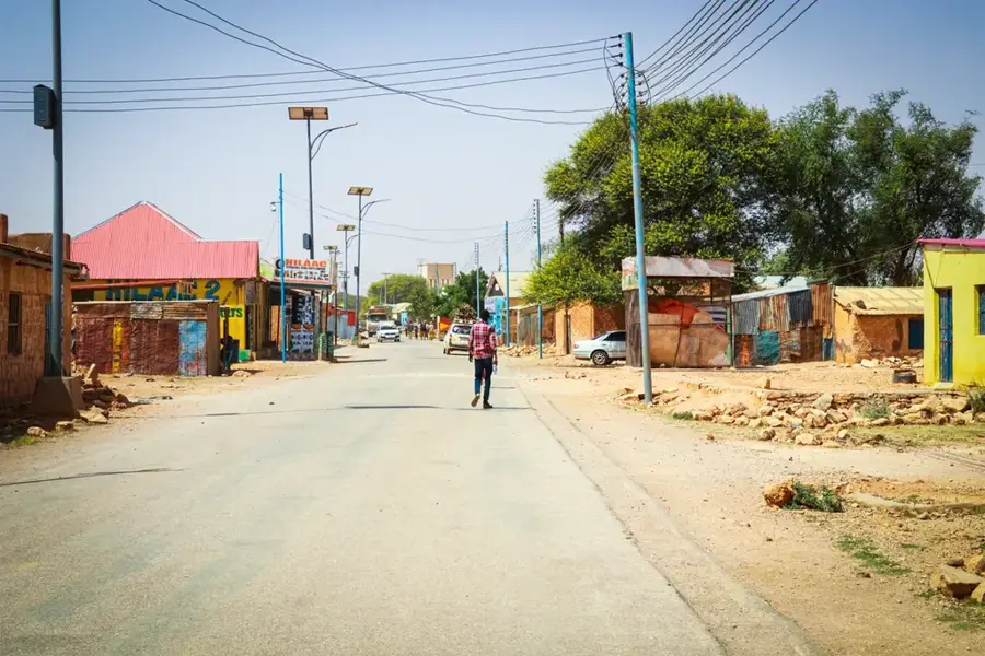
The Ceerigaabo Uplands, situated in the Sanaag region of northern Somalia, constitute one of the most ecologically diverse and topographically dramatic landscapes in the Horn of Africa. Part of the Ogo Mountain range, the uplands are defined by the Daallo Escarpment, where massive limestone cliffs plunge thousands of feet toward the Gulf of Aden coastal plain. Reaching elevations of over 2,400 meters, the region hosts rare Afro-montane forests dominated by ancient Juniperus procera trees, which are sustained by persistent orographic mist and rainfall. The city of Ceerigaabo sits on a high plateau, serving as a vital hub for the international trade of high-grade frankincense and myrrh harvested from the surrounding arid slopes. Geologically, the uplands consist of Mesozoic sedimentary sequences that were uplifted during the formation of the East African Rift system. The local climate is significantly cooler and wetter than the surrounding lowlands, creating a unique microclimate that supports a wide array of endemic flora and fauna. This rugged terrain remains a critical sanctuary for biodiversity, including several bird species unique to the Somali highlands.
- Location: Somalia
- Nearby: Cal Madow (20 km)
Best time to visit & climate
The most pleasant time to visit is Mar, Jul, Oct.
| Jan | Feb | Mar | Apr | May | Jun | Jul | Aug | Sep | Oct | Nov | Dec | |
|---|---|---|---|---|---|---|---|---|---|---|---|---|
| Avg °C | 17 | 19 | 22 | 23 | 24 | 23 | 22 | 23 | 23 | 21 | 19 | 17 |
| Rain mm | 3 | 3 | 9 | 31 | 22 | 28 | 11 | 33 | 19 | 22 | 12 | 6 |
📋 Practical info
Geography
Facts
- Mount Shimbiris, the highest peak in Somalia (2,460 m), is located in these uplands.
- The Daallo forest is a recognized biodiversity hotspot with many endemic plant species.
- Frankincense harvesting in the region dates back to the era of the Ancient Egyptians.
- The average annual rainfall in the uplands is double the national average of Somalia.
- The plateau on which Ceerigaabo is built consists of Eocene limestone deposits.
- The Warsangli Linnet is a rare bird species found exclusively in these mountains.
Explore nearby
Notable places around
Route planner — Car & Motorhome
Where do you start? We build the route here, with stops and country notes along the way.
© OpenStreetMap contributors · OpenRouteService
Sights nearby
Frequently asked questions
Is the Ceerigaabo upland cool?
Are there hiking trails there?
Can you camp there?
What is the journey like?
Are there local restaurants?
Ceerigaabo Uplands: where is it located?
Ceerigaabo Uplands: when is the best time to visit?
Ceerigaabo Uplands: why is it worth visiting?

Nearby cities
More places