Plizio Visual Lab
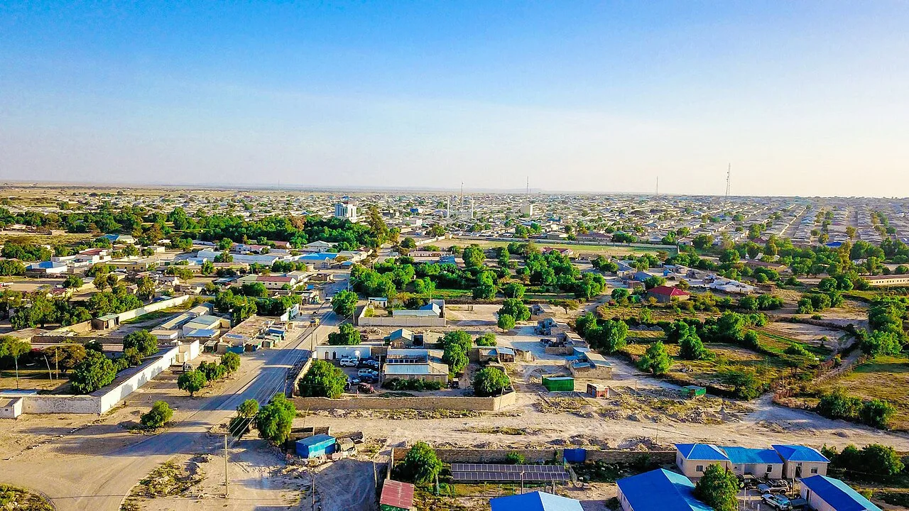
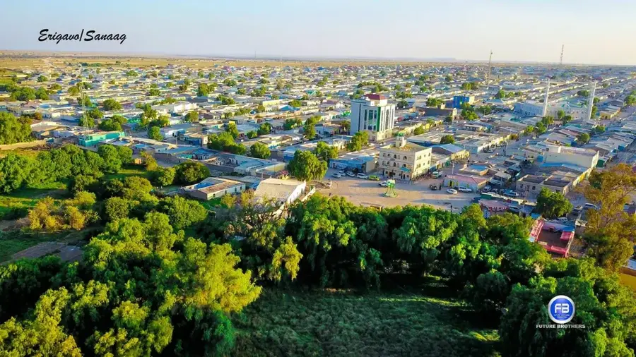
Erigavo
ℹ️Practical info — Erigavo
▾
🌤 Weather — 5 days
📍 Nearby
Sights nearby
💡 Tips
- Nights are quite cool due to the high altitude, so be sure to pack warm clothing.
- Rent a reliable 4WD vehicle for excursions as most roads in the region are unpaved.
- Respect the conservative local culture by wearing modest clothing that covers shoulders and knees.
- Plan a day trip to the nearby Daallo Forest to see the ancient juniper trees.
🍽 Food
Try this local delicacy, often slow-cooked until tender and served with rice at traditional eateries in the center.
Sip on this sweet black tea spiced with cardamom and cloves at the local market tea shops.
A spongy, pancake-like flatbread enjoyed in small cafes as a hearty morning meal.
🛍 Shopping · 🧘 Quiet spots
The Sanaag region is famous for its high-quality frankincense, which makes a great purchase at the local market.
Browse for colorful traditional Somali textiles (macawiis) sold by local vendors.
Provides quiet, dramatic views over the Gulf of Aden, great for a peaceful moment in nature.
Take an early evening walk along the edges of the town to enjoy the mountainous tranquility.
Water temperature…
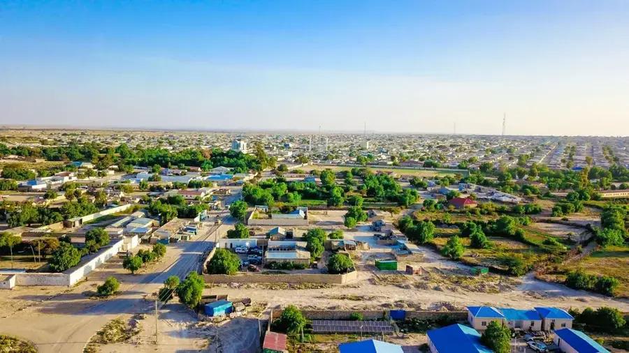
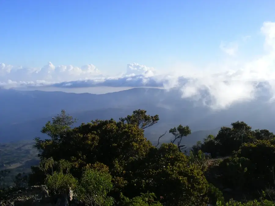
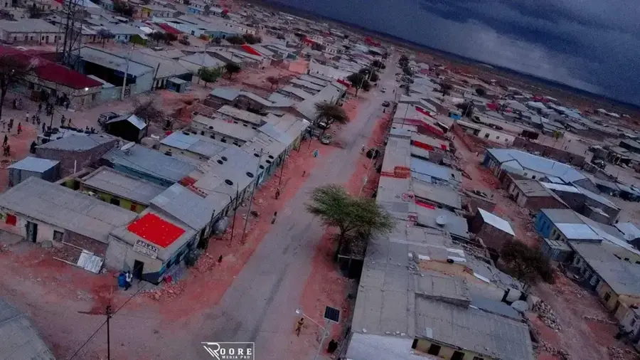
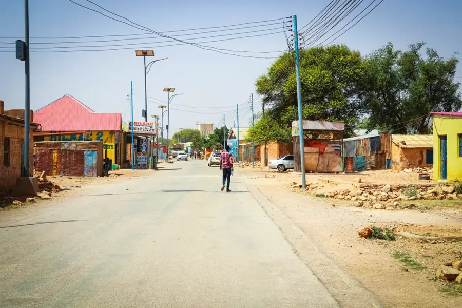
Erigavo is the capital city of the Sanaag region in northern Somaliland, set within the Cal Madow mountain range. The city sits at an impressive elevation of approximately 1,800 meters above sea level, making it one of the highest urban centers in the Horn of Africa. This high altitude provides Erigavo with a cooler climate compared to the coastal plains, enabling the cultivation of crops such as juniper, cereals, and various fruits. The city is a world-renowned center for the trade of frankincense and myrrh, which are harvested from the dense mountain forests nearby. Historically, the area is known for its clan diversity and its strategic role during the colonial era. Near Erigavo lies Mount Shimbiris, the highest peak in the Somali territories, and the scenic Daallo Forest, which hosts a unique array of endemic flora and fauna. In recent years, infrastructure projects have improved road links connecting Erigavo to the port of Berbera and the city of Burao. The economy is primarily driven by livestock exports and the global resin trade.
- Location: Somalia
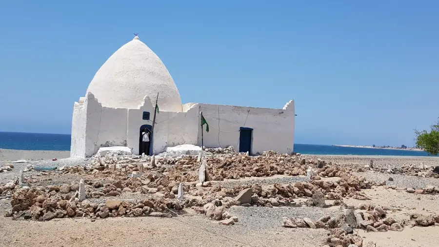
- Top sights: xaafad somaal · lafoole · xarunta ceeri
- Nearby: Cal Madow (17 km)
- Population: ~33.853 (2026)
Best time to visit & climate
The most pleasant time to visit is Mar, Jul, Oct.
| Jan | Feb | Mar | Apr | May | Jun | Jul | Aug | Sep | Oct | Nov | Dec | |
|---|---|---|---|---|---|---|---|---|---|---|---|---|
| Avg °C | 17 | 19 | 22 | 23 | 24 | 23 | 22 | 23 | 23 | 21 | 19 | 17 |
| Rain mm | 3 | 3 | 9 | 31 | 22 | 28 | 11 | 33 | 19 | 22 | 12 | 6 |
Geography
Facts
- Main commercial hub for the global export of high-grade frankincense.
- Elevated at 1,800m, making it one of the highest cities in the Somali region.
- Proximity to Mount Shimbiris (2,460m), the highest peak in Somalia.
- Gateway to the Daallo Forest, known for its unique endemic plant species.
- Features the Erigavo Airport, facilitating regional air transport and trade.
- Significant center for the production of cedarwood and juniper berries.
Explore nearby
Notable places around
Route planner — Car & Motorhome
Where do you start? We build the route here, with stops and country notes along the way.
© OpenStreetMap contributors · OpenRouteService
Sights in the town Erigavo (3)
Frequently asked questions
What is special about Erigavo?
Is Erigavo developed for tourism?
What is the climate there?
What is the environment like?
Is the journey difficult?
Erigavo: where is it located?
Erigavo: what is there to see?
Erigavo: when is the best time to visit?
Erigavo: why is it worth visiting?

Nearby cities
More places