Plizio Visual Lab
Kismayo

ℹ️Practical info — Kismayo
▾
🌤 Weather — 5 days
📍 Nearby
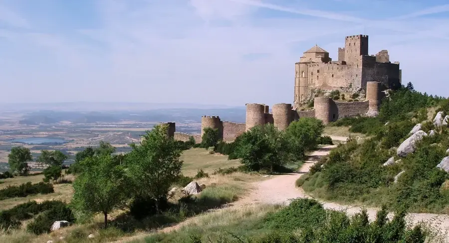
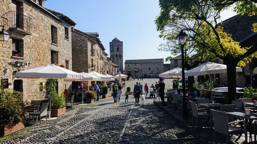
Sights nearby
💡 Tips
- Respect Islamic dress codes; dress conservatively when exploring the city.
- The weather is hot and humid; light, breathable clothing is a must.
- Kismayo has beautiful beaches, but always check with locals regarding the current security situation.
- Seafood here is excellent and fresh; eating at places near the port area is highly recommended.
🍽 Food
Freshly caught and prepared over an open fire. Look for seafood restaurants along the coast.
A Somali delicacy, often cooked until tender. Available at traditional restaurants in the center.
Spiced Somali tea with cardamom and cinnamon. Excellent for an afternoon stop in a cafe.
🛍 Shopping · 🧘 Quiet spots
A bustling place to find local spices, frankincense, and traditional fabrics.
Witness the arrival of the fishing boats; great for photos even if you don't buy anything.
The white sandy beaches offer relaxing strolls in the early morning.
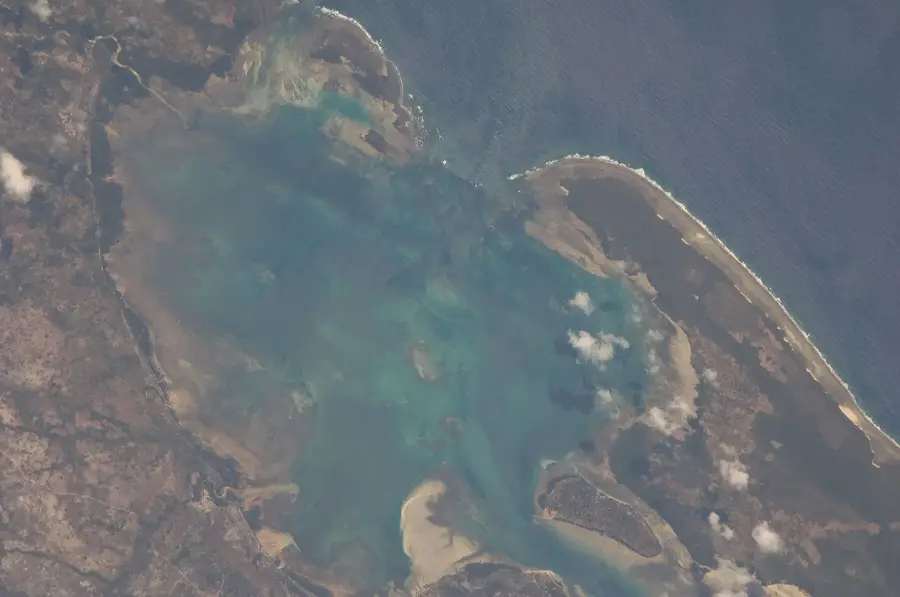
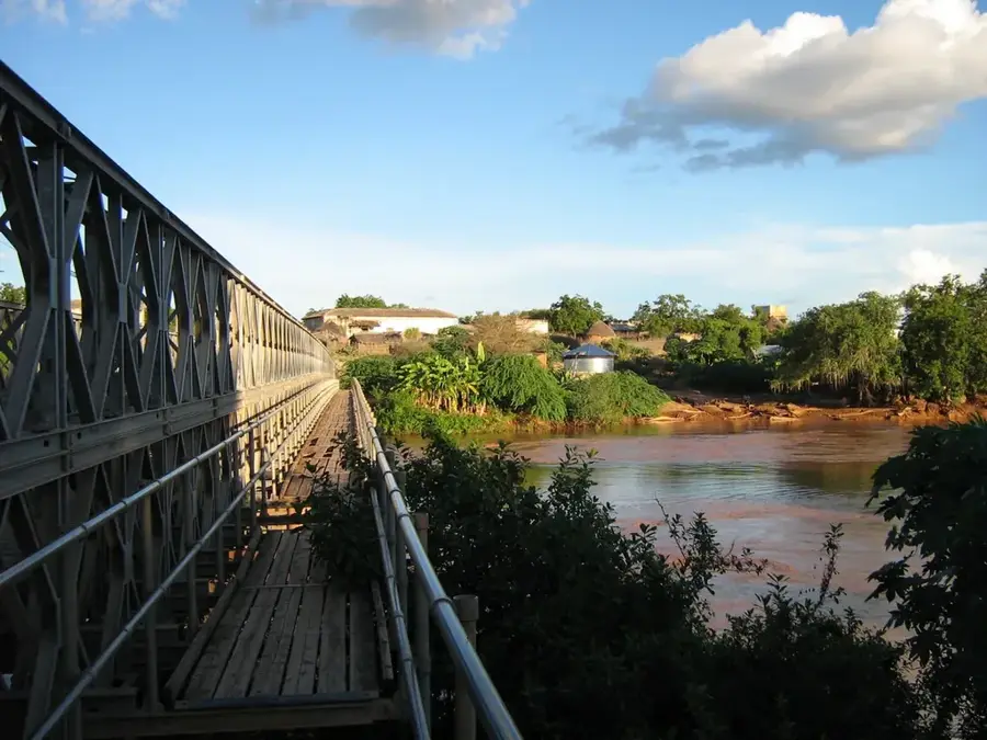
Located just outside, where the Jubba River meets the Indian Ocean. A very peaceful sight.
Water temperature…
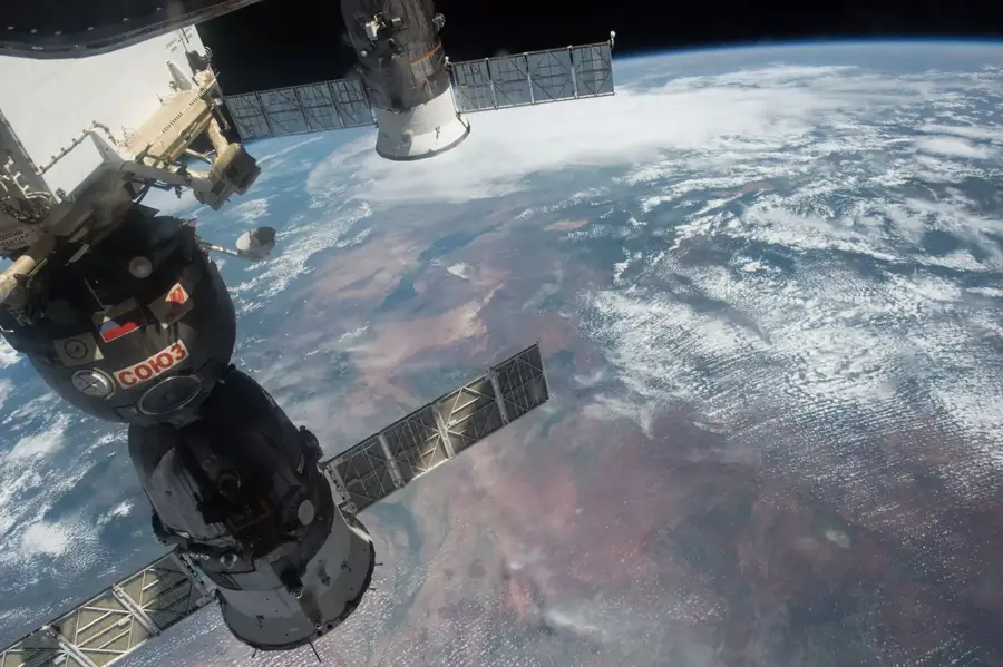
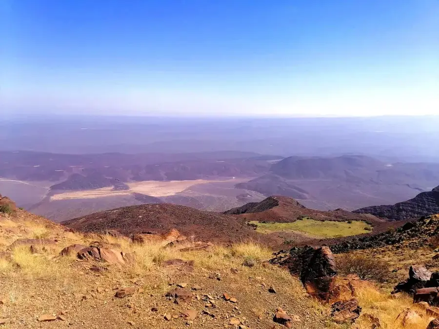
Kismayo is a major port city in southern Somalia and the capital of the Jubaland state. The city is located at the mouth of the Jubba River into the Indian Ocean, giving it a unique geographical position and rich natural resources. Historically, Kismayo was a contested center under various rulers, including the Sultanate of Zanzibar and British colonial administration. The city's economy is based on its modern port, used for the export of charcoal (historically), fish, and agricultural products. The surrounding area is characterized by fertile alluvial soil, well-suited for growing bananas and sugarcane. The equatorial climate provides warm temperatures year-round and more humid conditions than in central Somalia. Off the coast lie the Bajuni Islands, known for their biodiversity and traditional fishing culture. Kismayo remains a strategic hub for trade with neighboring Kenya and Ethiopia.
- Location: Somalia
- Nearby: Jilib (74 km)
- Population: ~234.852 (2026)
Best time to visit & climate
The most pleasant time to visit is Feb, Aug, Sep.
| Jan | Feb | Mar | Apr | May | Jun | Jul | Aug | Sep | Oct | Nov | Dec | |
|---|---|---|---|---|---|---|---|---|---|---|---|---|
| Avg °C | 27 | 27 | 28 | 29 | 28 | 27 | 26 | 26 | 26 | 27 | 28 | 28 |
| Rain mm | 7 | 2 | 15 | 89 | 154 | 84 | 44 | 25 | 18 | 47 | 69 | 35 |
Geography
Facts
- Located at the mouth of the Jubba River
- Capital of the autonomous Jubaland region
- Third largest city in Somalia by population
- Major deep-water port on the Indian Ocean
- Equatorial climate with high humidity
- The Bajuni Islands are located nearby
Explore nearby
Notable places around
Route planner — Car & Motorhome
Where do you start? We build the route here, with stops and country notes along the way.
© OpenStreetMap contributors · OpenRouteService
Frequently asked questions
What characterizes Kismayo?
Is it a vacation destination?
What is the economic base?
How is the climate?
What is the best season?
Kismayo: where is it located?
Kismayo: when is the best time to visit?
Kismayo: why is it worth visiting?

Nearby cities
History & landmarks
Nature
More places