Plizio Visual Lab
Tribeč
Weather…
Water temperature…
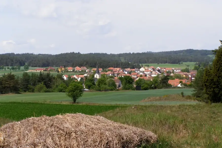
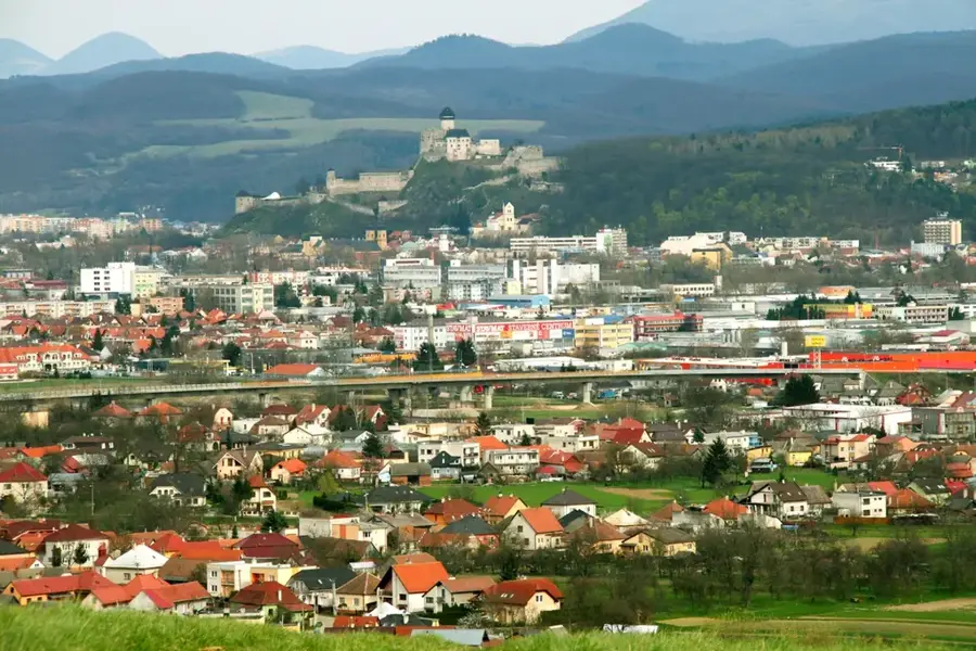
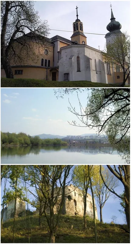
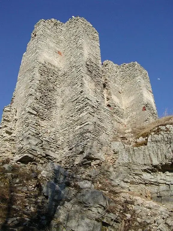
The Tribeč Mountains are situated in western Slovakia, forming a distinct triangular range between the cities of Nitra, Partizánske, and Zlaté Moravce. The highest summit is Veľký Tribeč, reaching 829 meters and positioned within extensive woodland. Geologically, the range features a crystalline core of granite surrounded by Mesozoic limestone and dolomite, which has resulted in localized karst features. The region is rich in history, home to the notable ruins of Gýmeš and Hrušov castles, which once guarded medieval trade routes. In modern Slovak pop culture, Tribeč has gained notoriety due to urban legends surrounding mysterious disappearances, giving the area a somewhat mystical reputation. In reality, it is a peaceful destination for hiking and hunting, renowned for its large populations of mouflon and deer. Well-marked trails lead visitors through lush oak and beech forests to historic ruins and scenic viewpoints overlooking the Danubian Lowland.
- Location: Slovakia
- Top sights: Obranný val, Hradisko Veľký Tribeč - národná kultúr. pamiatka · Veľký Tribeč · Medvedí vrch
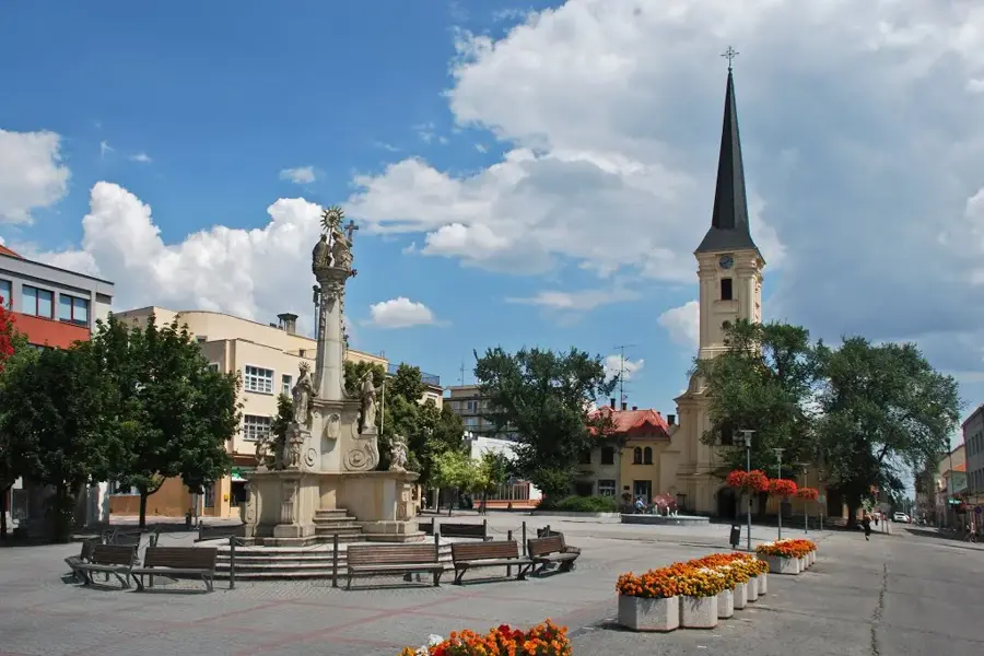
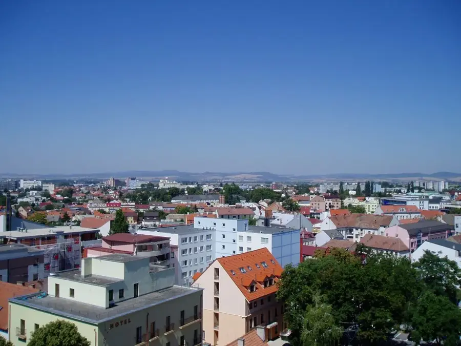
- Nearby: Topoľčany (12 km)
Best time to visit & climate
The most pleasant time to visit is Jun–Aug.
| Jan | Feb | Mar | Apr | May | Jun | Jul | Aug | Sep | Oct | Nov | Dec | |
|---|---|---|---|---|---|---|---|---|---|---|---|---|
| Avg °C | -4 | -2 | 3 | 9 | 14 | 18 | 20 | 19 | 14 | 9 | 3 | -2 |
| Rain mm | 52 | 46 | 47 | 40 | 72 | 74 | 78 | 66 | 61 | 56 | 53 | 52 |
📋 Practical info
Geography
Facts
- The highest peak, Veľký Tribeč, stands at 829 meters.
- The range extends approximately 50 kilometers in length.
- Gýmeš Castle was established in the 13th century.
- Tribeč is known for its successful reintroduction of mouflon.
- It belongs to the Fatra-Tatra region of the Western Carpathians.
- The area is featured in the popular Slovak mystery novel 'Trhlina'.
Explore nearby
Notable places around
Route planner — Car & Motorhome
Where do you start? We build the route here, with stops and country notes along the way.
© OpenStreetMap contributors · OpenRouteService
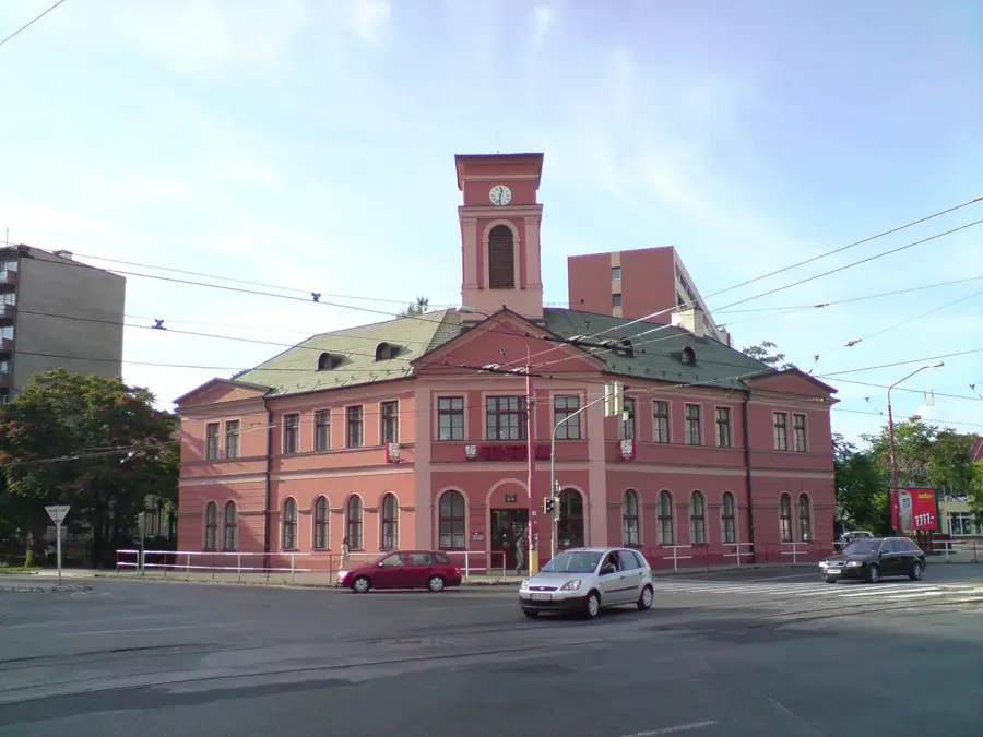
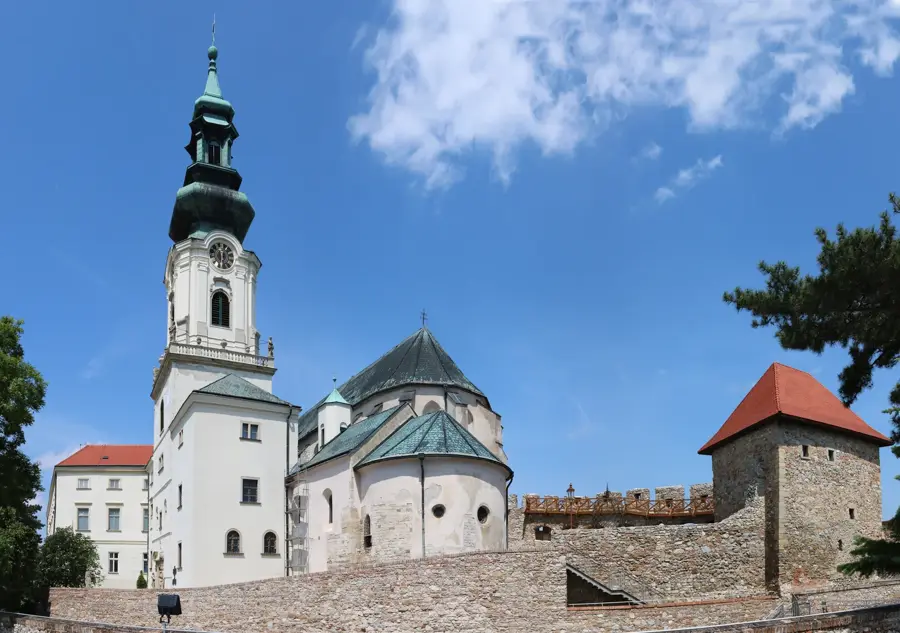
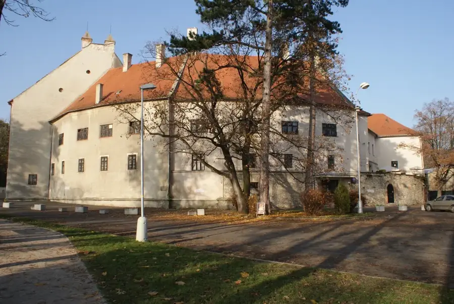
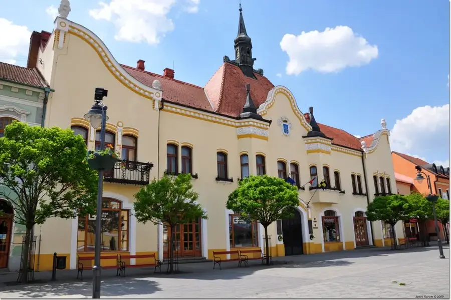
Sights in the town Tribeč (4)
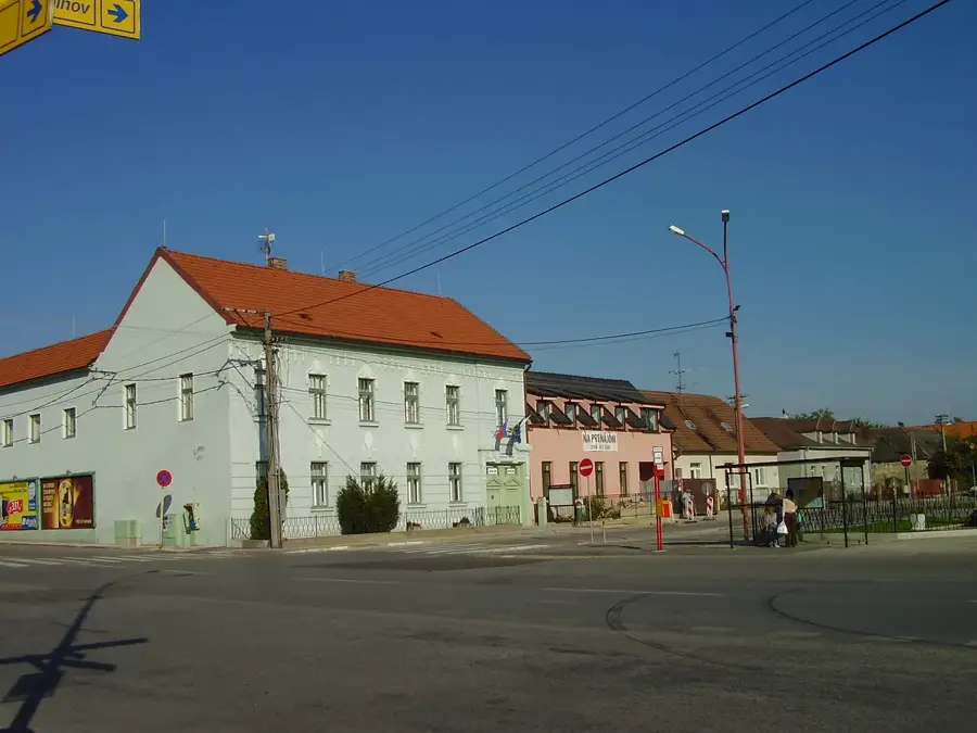
Sights nearby
Frequently asked questions
What legend is associated with the Tribeč Mountains?
What is the highest mountain in Tribeč?
Which castle ruin is located at the edge of the mountains?
Is the mountain range suitable for cyclists?
What is the bison paddock?
Tribeč: where is it located?
Tribeč: what is there to see?
Tribeč: when is the best time to visit?
Tribeč: why is it worth visiting?

Nearby cities