Plizio Visual Lab
Strážov Mountains
Weather…
Water temperature…
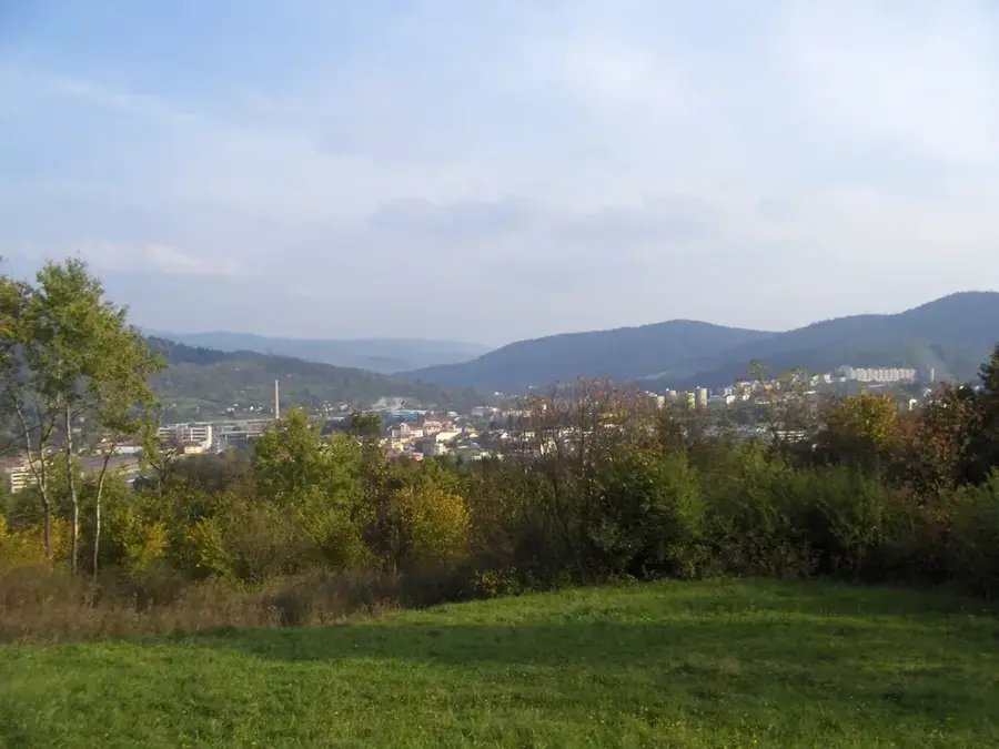
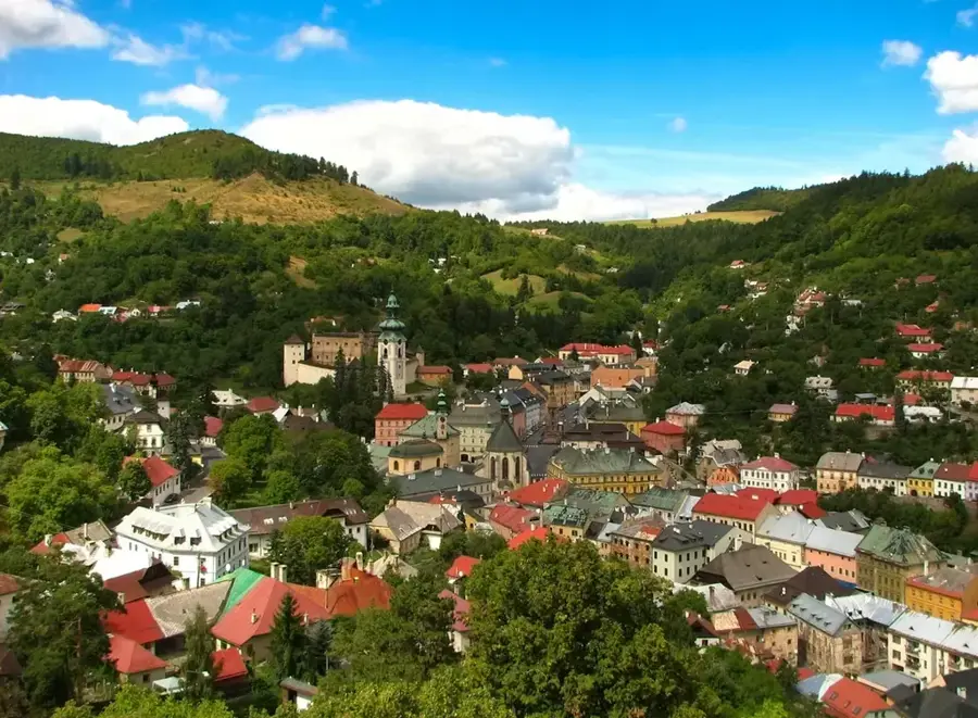
The Strážov Mountains are located in northwestern Slovakia, situated between the Váh and Nitra river valleys. The range's highest point is Mount Strážov, which reaches an elevation of 1213 meters and is noted for its rocky summit and expansive views. Geologically, the area is diverse, primarily composed of limestone and dolomite, leading to the formation of striking rock towers, deep canyons, and karst springs. The region is home to the world-famous village of Čičmany, celebrated for its unique folk architecture featuring white geometric patterns painted on dark wooden houses. Additionally, the mountains host major spa towns like Trenčianske Teplice, which has utilized local thermal springs for centuries. The extensive beech forests provide a vital sanctuary for large predators, such as the brown bear and lynx. The entire range has been protected as the Strážovské vrchy Protected Landscape Area since 1989.
- Location: Slovakia
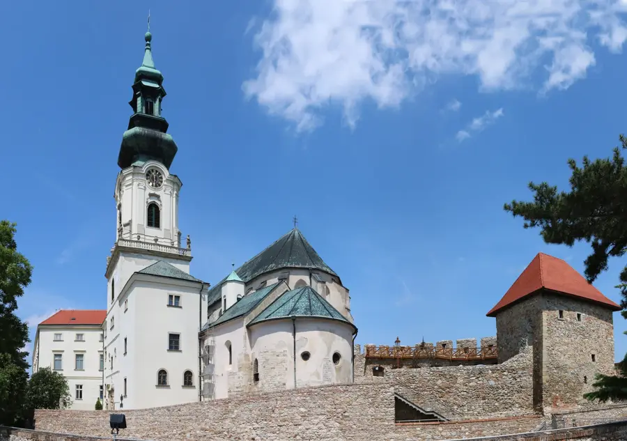
- Top sights: Strážov · svätého Vavrinca · Javorina
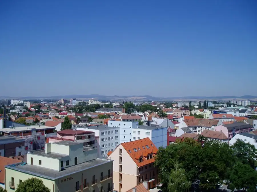
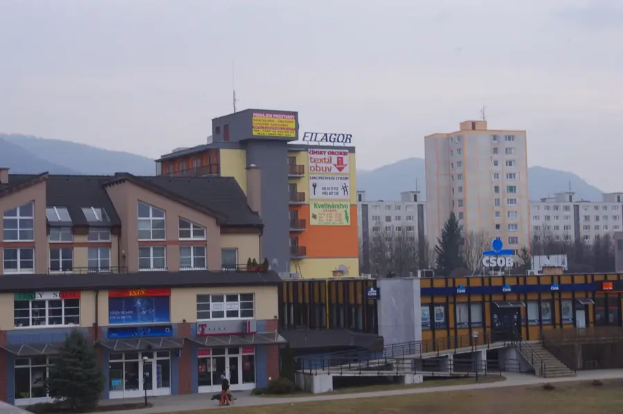
- Nearby: Považská Bystrica (18 km)
Best time to visit & climate
The most pleasant time to visit is Jun–Aug.
| Jan | Feb | Mar | Apr | May | Jun | Jul | Aug | Sep | Oct | Nov | Dec | |
|---|---|---|---|---|---|---|---|---|---|---|---|---|
| Avg °C | -5 | -3 | 1 | 7 | 12 | 16 | 18 | 18 | 13 | 7 | 3 | -3 |
| Rain mm | 61 | 53 | 56 | 49 | 88 | 94 | 101 | 79 | 75 | 65 | 59 | 58 |
📋 Practical info
Geography
Facts
- The highest peak, Strážov, stands at 1213 meters above sea level.
- The Protected Landscape Area covers approximately 30,181 hectares.
- The village of Čičmany is famous for its painted log houses.
- Trenčianske Teplice is one of the oldest spa towns in Slovakia.
- The range contains over 300 caves and numerous karst springs.
- It was officially designated as a protected area in 1989.
Explore nearby
Notable places around
Route planner — Car & Motorhome
Where do you start? We build the route here, with stops and country notes along the way.
© OpenStreetMap contributors · OpenRouteService
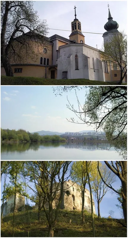
Sights in the town Strážov Mountains (4)
Javorina
Javorina is a mountain in Slovakia, GeoNames ID 724686.
Čierny vrch
Čierny vrch is a mountain in Slovakia, part of the Strážovské vrchy range.
Sights nearby
Frequently asked questions
What is the highest peak in the Strážov Mountains?
Which famous village is located in this region?
Are there caves to visit in the mountains?
Are the hiking trails suitable for families?
When is the best time for hiking?
Strážov Mountains: where is it located?
Strážov Mountains: what is there to see?
Strážov Mountains: when is the best time to visit?
Strážov Mountains: why is it worth visiting?

Nearby cities