Plizio Visual Lab
Danubian Lowland
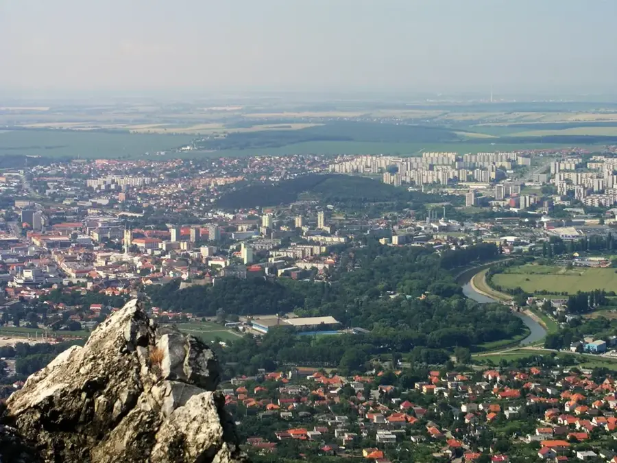
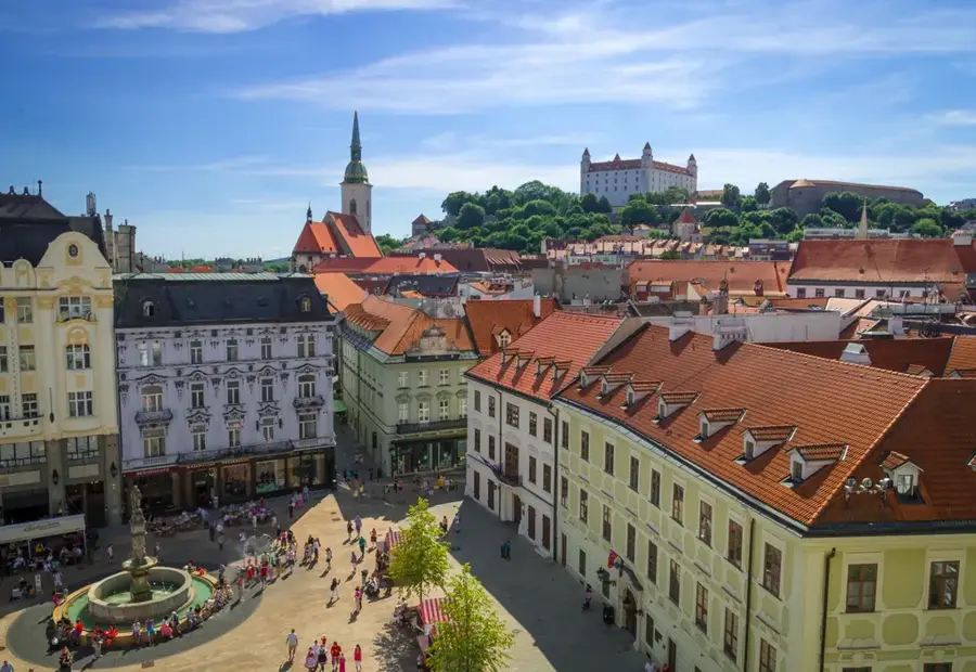
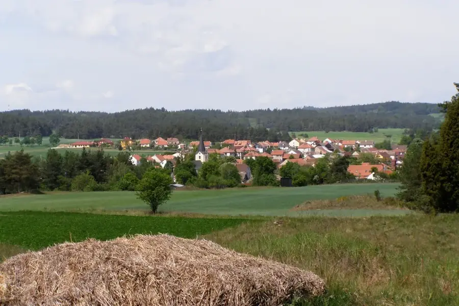
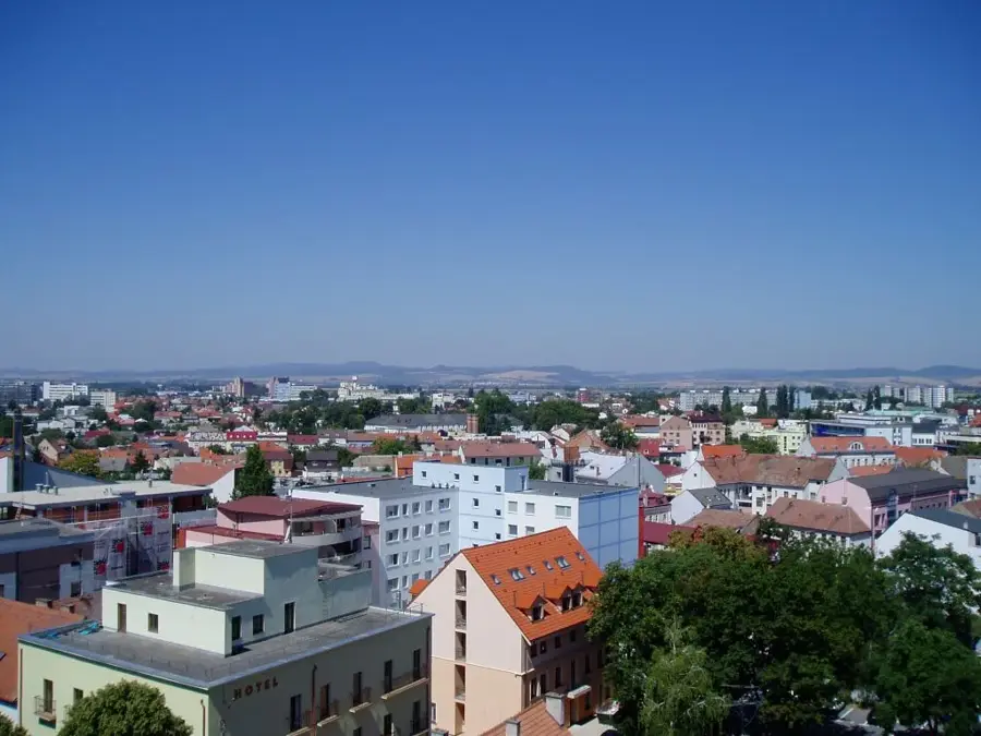
The Danubian Lowland (Podunajská nížina) forms the expansive southwestern portion of Slovakia, representing the northern extension of the Little Hungarian Plain. Characterized by its exceptionally flat topography, it is the warmest, driest, and sunniest region in the country, which, combined with deeply fertile alluvial and chernozem soils, establishes it as Slovakia's undisputed agricultural heartland where wheat, corn, sunflowers, and vegetables are heavily cultivated. The hydrological framework of the lowland is defined by the mighty Danube River, which intertwines with the Little Danube and Váh rivers to encircle Žitný ostrov (Great Rye Island). This massive river island is of supreme ecological and strategic importance, as it conceals the largest subterranean reservoir of high-quality drinking water in Central Europe. Beyond its agricultural dominance, the Danubian Lowland is renowned for its immense geothermal wealth, giving rise to numerous highly popular thermal spas, wellness resorts, and aquaparks (such as those in Veľký Meder, Dunajská Streda, and Podhájska) that draw visitors year-round.
- Location: Slovakia
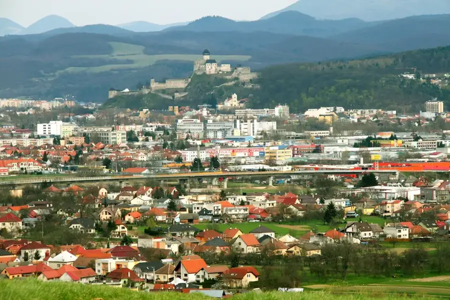
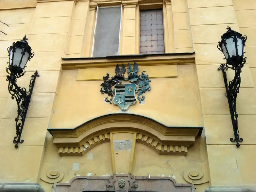
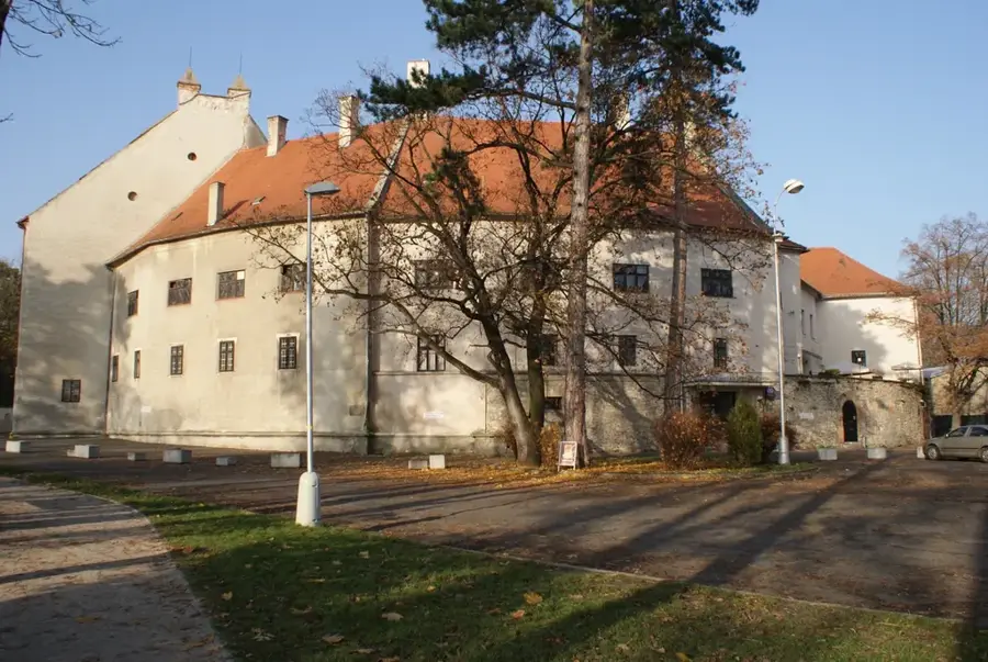
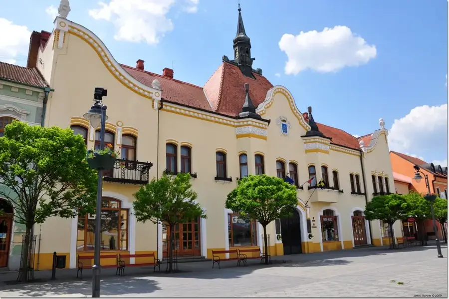
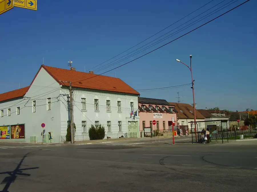
- Nearby: Veľký Meder (5 km)
Best time to visit & climate
The most pleasant time to visit is Jun–Aug.
| Jan | Feb | Mar | Apr | May | Jun | Jul | Aug | Sep | Oct | Nov | Dec | |
|---|---|---|---|---|---|---|---|---|---|---|---|---|
| Avg °C | -2 | 0 | 5 | 11 | 16 | 20 | 23 | 22 | 17 | 11 | 5 | 0 |
| Rain mm | 43 | 39 | 41 | 33 | 65 | 64 | 65 | 62 | 58 | 49 | 46 | 44 |
📋 Practical info
Geography
Explore nearby
Notable places around
Route planner — Car & Motorhome
Where do you start? We build the route here, with stops and country notes along the way.
© OpenStreetMap contributors · OpenRouteService
Sights in the town Danubian Lowland (1)
Sights nearby
Frequently asked questions
What characterizes the Danube Lowland?
What recreational activities are popular here?
Are there known waterways besides the Danube?
Which cities are located in this lowland?
Can you see water mills here?
Danubian Lowland: where is it located?
Danubian Lowland: when is the best time to visit?
Danubian Lowland: why is it worth visiting?

Nearby cities