Plizio Visual Lab
Morro de Fundão
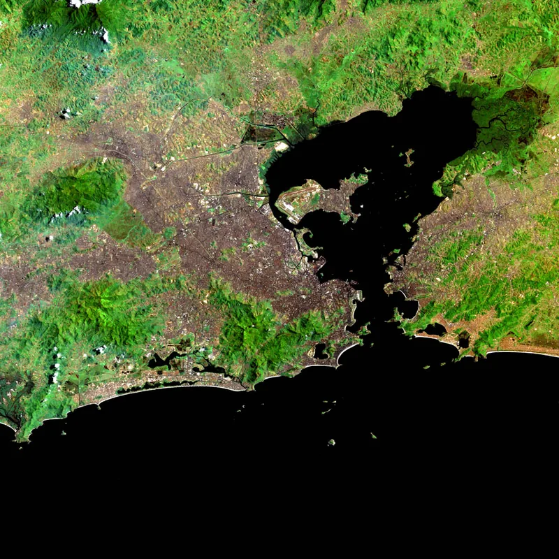
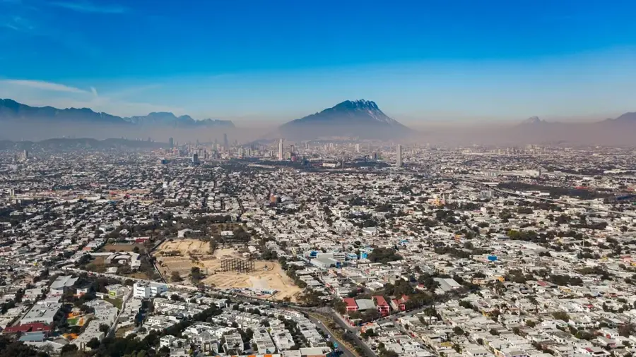
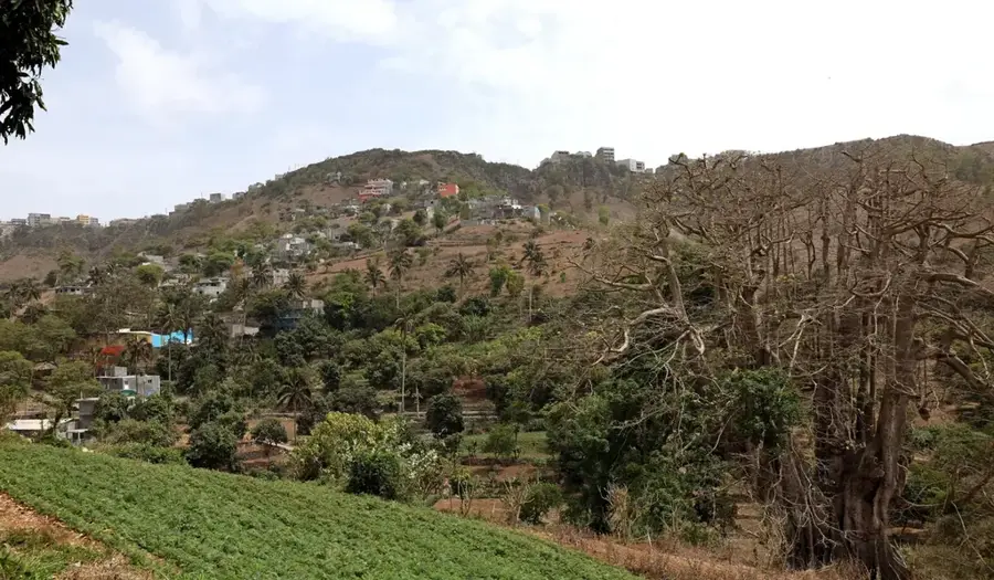
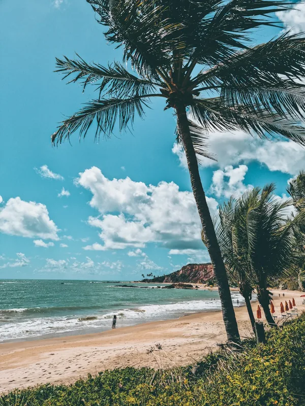
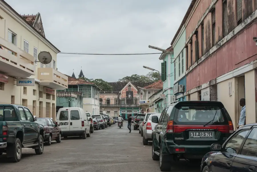
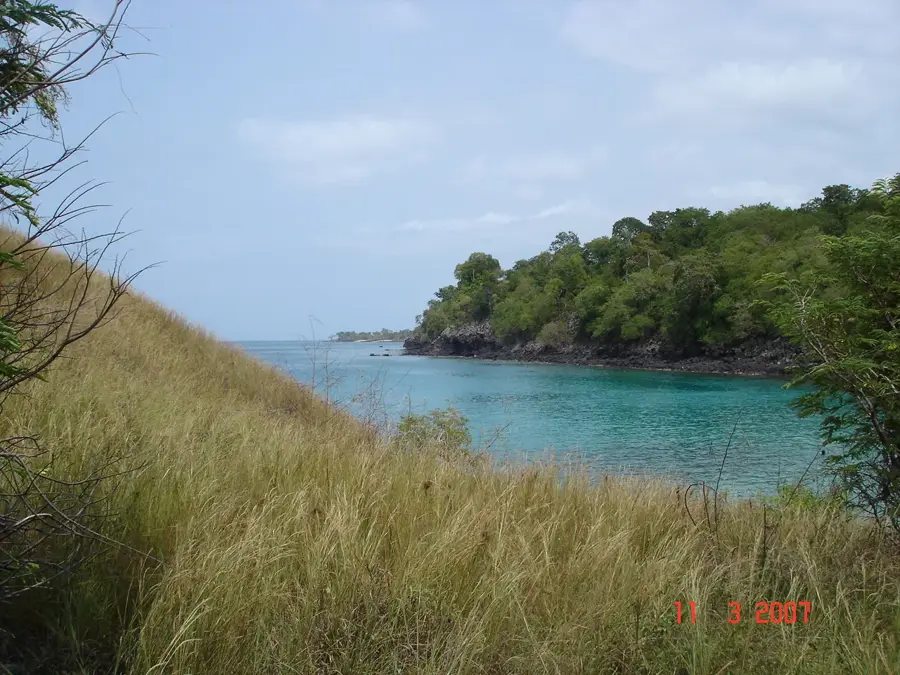
Morro de Fundão is a prominent elevation in the north of São Tomé Island, located in the Lobata district, and forms a strong scenic contrast to the rugged mountains of the south. This area is characterized by a significantly drier microclimate, leading to vegetation that resembles a savanna rather than a rainforest, with scattered baobab trees and drought-resistant shrubs. Geologically, the hill consists of older, heavily eroded volcanic deposits that have formed flatter and gentler shapes. From its summit, a sprawling panoramic view provides over the northern coast, the Bay of Ana Chaves, and the capital city, São Tomé, making it a strategically important point for telecommunications. Historically, the surrounding land was among the first to be developed for agriculture during the colonial era, with a mixture of small family farms and fallow land shaping the environment today. The name 'Fundão' points to the deep geological structures or valleys surrounding the hill. Today, it is a popular destination for short excursions from the capital to enjoy the wide views and the cooler breezes of the northern coast.
- Location: São Tomé & Príncipe
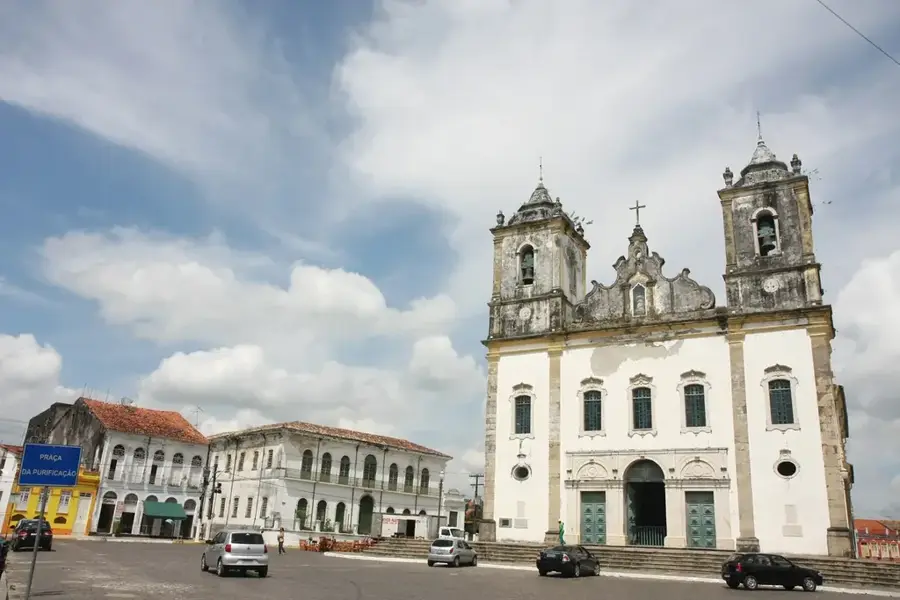
- Top sights: Bela Vista, São Tomé and Príncipe · Santo Amaro, São Tomé and Príncipe · Maianço
- Nearby: Blublu (4 km)
Best time to visit & climate
The most pleasant time to visit is Jul–Sep.
| Jan | Feb | Mar | Apr | May | Jun | Jul | Aug | Sep | Oct | Nov | Dec | |
|---|---|---|---|---|---|---|---|---|---|---|---|---|
| Avg °C | 27 | 28 | 28 | 28 | 27 | 26 | 25 | 25 | 26 | 26 | 27 | 27 |
| Rain mm | 125 | 115 | 162 | 176 | 129 | 44 | 23 | 19 | 35 | 100 | 142 | 130 |
📋 Practical info
Geography
Facts
- Offers one of the best views of the capital city, São Tomé.
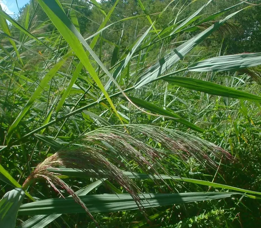
- The climate here is significantly drier than in the rest of the island.
- Vegetation consists mainly of drought-resistant plants.
- Important location for telecommunication antennas.
- Nearby are the historical Roças Agostinho Neto.
- Popular destination for short excursions from the capital.
Explore nearby
Notable places around
Route planner — Car & Motorhome
Where do you start? We build the route here, with stops and country notes along the way.
© OpenStreetMap contributors · OpenRouteService
Sights in the town Morro de Fundão (3)
Sights nearby
Frequently asked questions
What is special about Morro de Fundão?
How do you get there?
Are there guided tours?
Is the hike dangerous?
What is the best arrival time?
Morro de Fundão: where is it located?
Morro de Fundão: what is there to see?
Morro de Fundão: when is the best time to visit?
Morro de Fundão: why is it worth visiting?

Nearby cities


History & landmarks
More places