Plizio Visual Lab
Henrique (Plateau)
ℹ️Practical info — Henrique (Plateau)
▾
🌤 Weather — 5 days
📍 Nearby
Sights nearby
💡 Tips
- The wind on the plateau can be strong; always carry a windbreaker.
- Mornings offer the clearest visibility for panoramic views of western São Tomé.
- Be respectful of private agricultural boundaries when walking across the open fields.
- Sun protection is crucial despite the cooler air, as the altitude increases UV exposure.
🍽 Food
A warming and filling snack often prepared by farmers on small fires.
A local comfort food excellent for the cooler plateau climate, occasionally offered at farmhouses.
Look for wild guavas growing on the plateau; they are small but intensely flavored.
🛍 Shopping · 🧘 Quiet spots
Buy directly from the harvest; yams and sweet potatoes are staples here.
Ask around for herbal teas gathered from the plateau's unique flora.
Stand at the edge of the plateau for an uninterrupted, meditative view of the ocean.
Find a quiet spot among the grassy fields to simply enjoy the cool breeze and silence.
Water temperature…
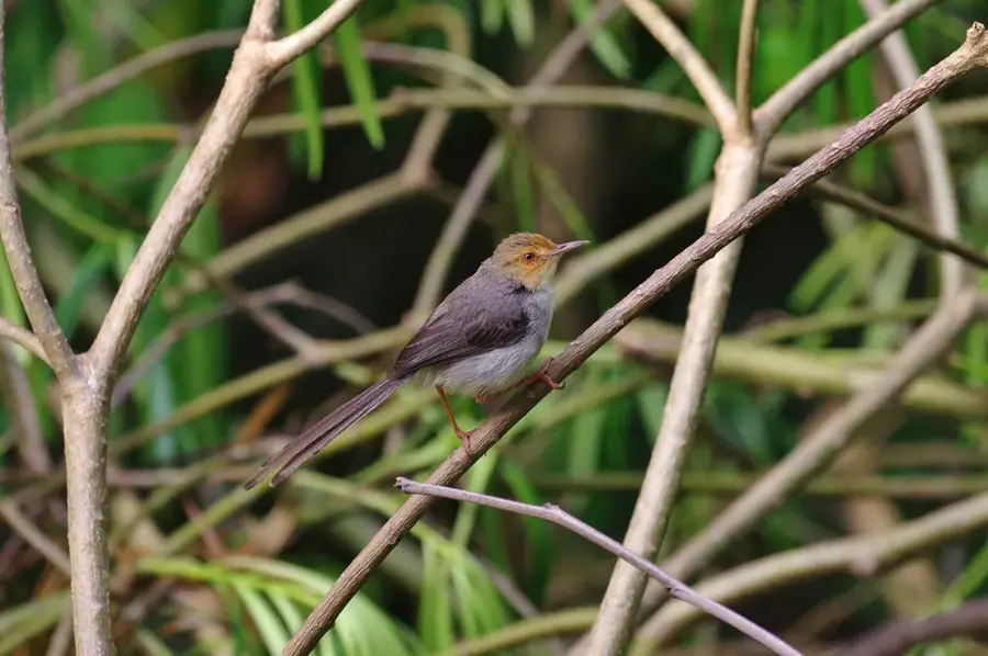
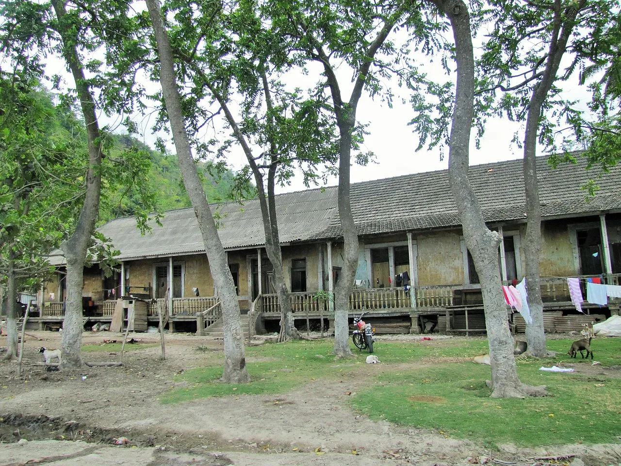
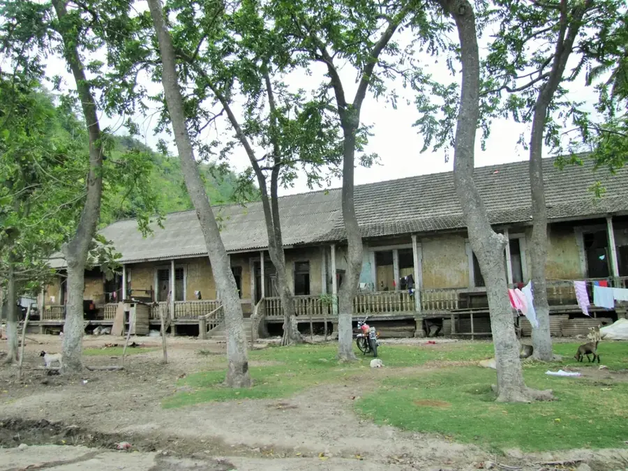
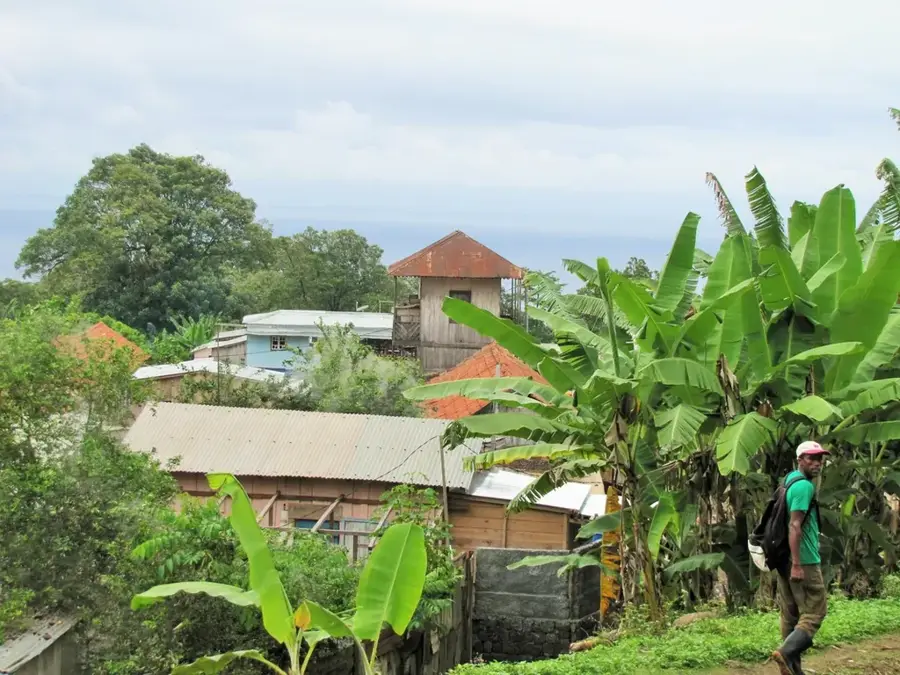
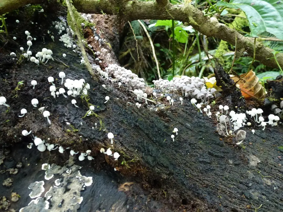
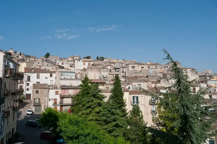
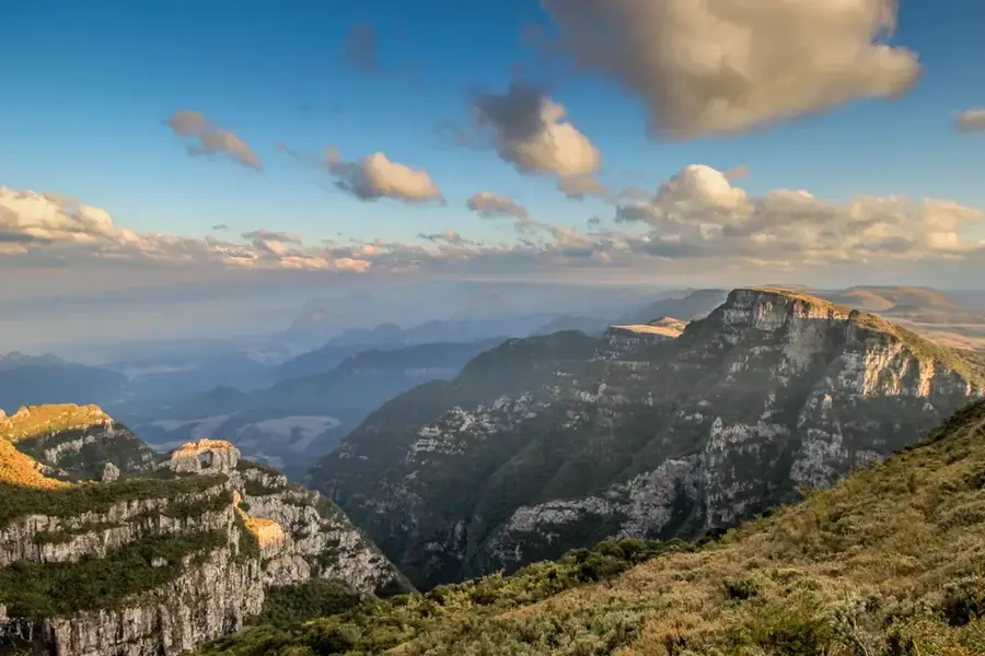
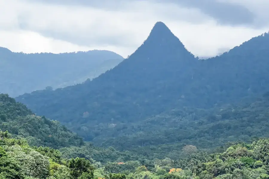
Henrique (Plateau) refers to the actual plateau on which the highland settlement of Henrique lies in the Lembá district. At around 700-800 meters elevation, the air is significantly cooler, the soil mineral-rich and the solar radiation particularly intense due to the often-broken cloud cover. These conditions create a unique microclimate in which high-quality organic pepper (Piper nigrum), vanilla, cardamom and rare endemic mountain plants such as the São Toméan mountain rhododendron thrive. Several conservation initiatives, including the Florestas do Pico programme in collaboration with the University of Lisbon, map and conserve endangered mountain plants here, with seeds managed in a small gene bank. Trails cross the plateau to viewpoints with wide vistas of the west coast and are considered among the most beautiful trails for ecological hiking in all of São Tomé and Príncipe.
- Location: São Tomé & Príncipe
- Nearby: Ponta Figo (4 km)
- Population: ~615 (2025)
Best time to visit & climate
The most pleasant time to visit is Jul–Sep.
| Jan | Feb | Mar | Apr | May | Jun | Jul | Aug | Sep | Oct | Nov | Dec | |
|---|---|---|---|---|---|---|---|---|---|---|---|---|
| Avg °C | 27 | 28 | 28 | 28 | 27 | 26 | 25 | 25 | 26 | 26 | 27 | 27 |
| Rain mm | 125 | 115 | 162 | 176 | 129 | 44 | 23 | 19 | 35 | 100 | 142 | 130 |
Geography
Facts
- Located on a high plateau in the mountainous Lembá District.
- Set against a backdrop of dramatic volcanic peaks and rainforest.
- Historically significant site for high-quality coffee and cocoa.
- Features well-preserved colonial-era plantation architecture.
- Offers panoramic views of the western coastline of São Tomé.
- Situated in one of the most rugged geographic regions of the island.
Explore nearby
Notable places around
Route planner — Car & Motorhome
Where do you start? We build the route here, with stops and country notes along the way.
© OpenStreetMap contributors · OpenRouteService
Frequently asked questions
What makes the plateau special?
Is it suitable for hikers?
When is the light best?
Do I need a guide?
How is the weather?
Henrique (Plateau): where is it located?
Henrique (Plateau): when is the best time to visit?
Henrique (Plateau): why is it worth visiting?

Nearby cities

Nature
More places