Plizio Visual Lab
Rio Contador
Weather…
Water temperature…
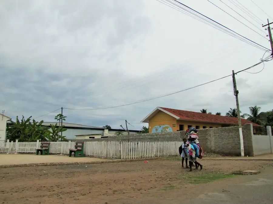
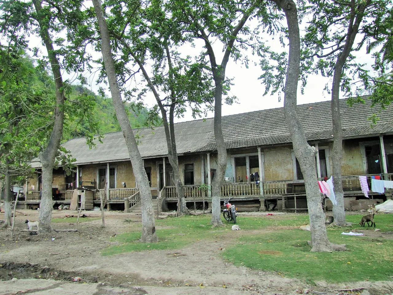
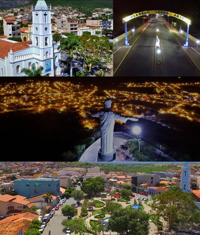
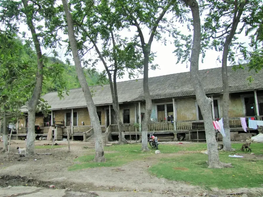
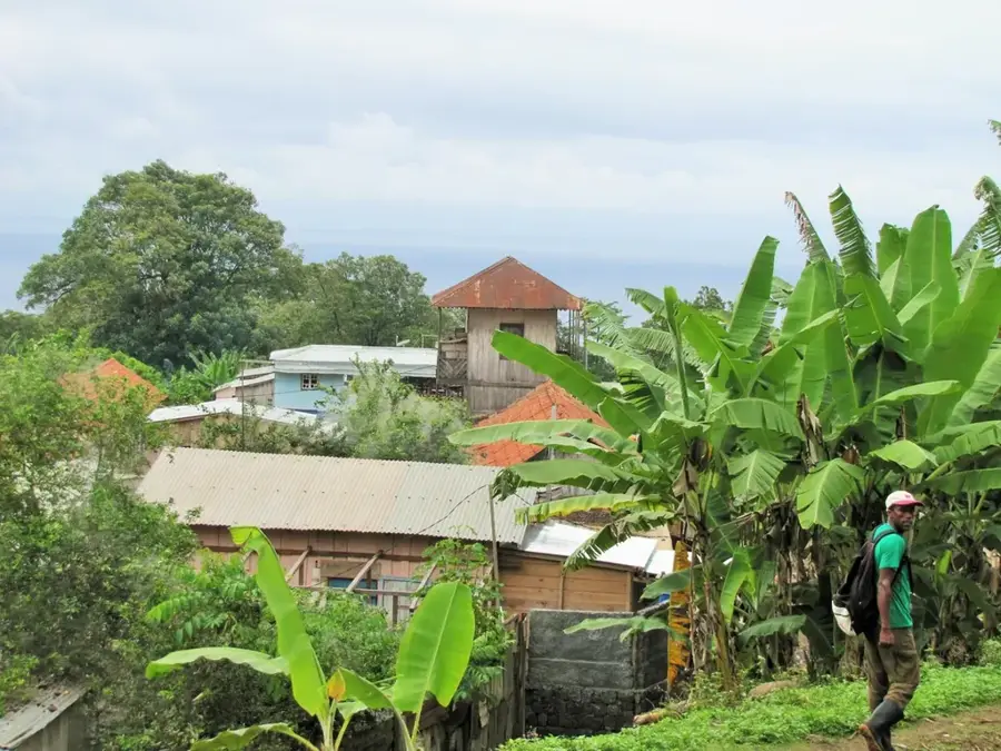
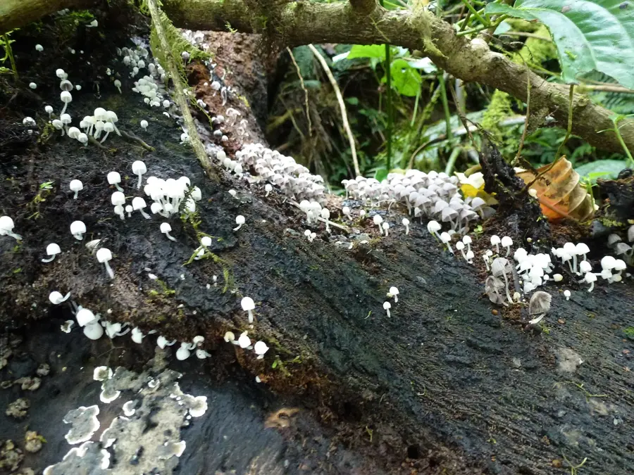
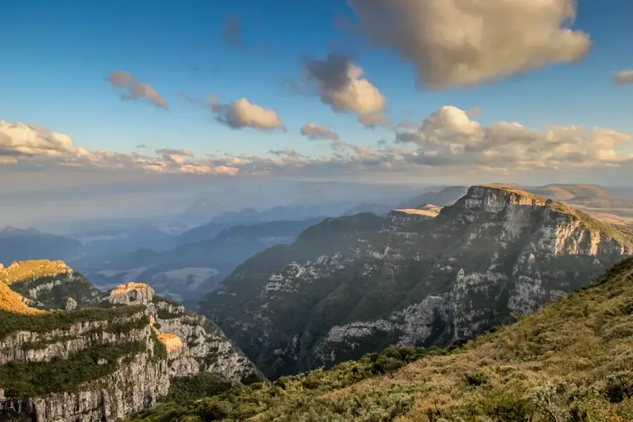
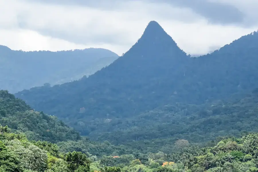
Rio Contador is one of the most significant watercourses on São Tomé island, originating in the volcanic mountains of the central highlands. It is particularly famous for the spectacular Cascata de São Nicolau, a waterfall reaching a height of approximately 60 meters, which is a major tourist landmark. The river basin plays a crucial role in the country's energy supply, as it hosts one of the oldest hydroelectric power stations still operating on the island. The area surrounding the river is characterized by dense primary rainforest, which is part of the Obo National Park and home to numerous endemic plant species. Historically, the Rio Contador valley was vital for the irrigation of nearby coffee and cocoa plantations during the colonial era. Today, the river supports both local agriculture and the region's developing ecotourism industry.
- Location: São Tomé & Príncipe
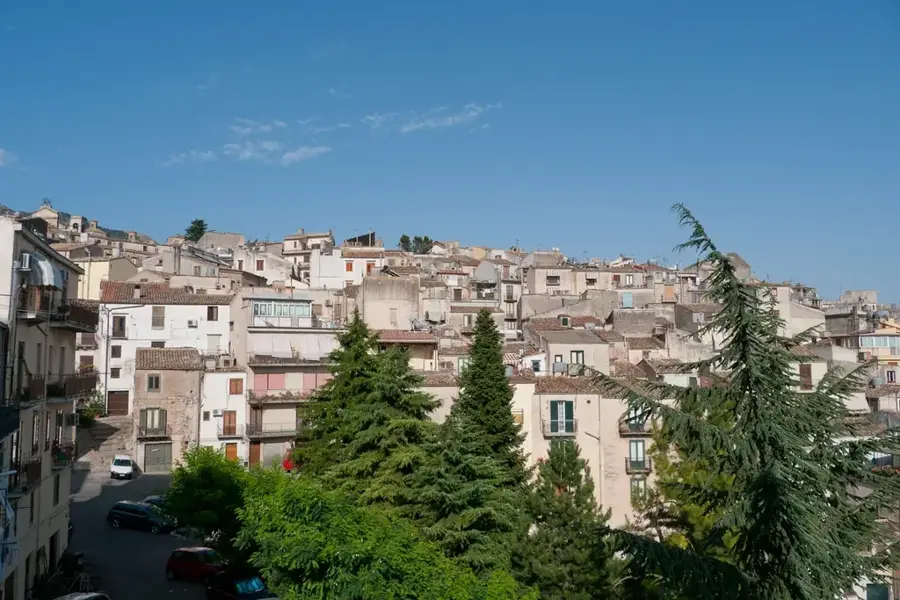
- Top sights: Rosema, São Tomé and Príncipe · Neves, São Tomé and Príncipe · Ponta Figo
- Nearby: Ponta Figo (4 km)
Best time to visit & climate
The most pleasant time to visit is Jul–Sep.
| Jan | Feb | Mar | Apr | May | Jun | Jul | Aug | Sep | Oct | Nov | Dec | |
|---|---|---|---|---|---|---|---|---|---|---|---|---|
| Avg °C | 27 | 28 | 28 | 28 | 27 | 26 | 25 | 25 | 26 | 26 | 27 | 27 |
| Rain mm | 125 | 115 | 162 | 176 | 129 | 44 | 23 | 19 | 35 | 100 | 142 | 130 |
📋 Practical info
Geography
Facts
- Cascata de São Nicolau is approximately 60 meters high.
- The hydroelectric plant was built in the early 20th century.
- The river is located within the Obo National Park.
- The source is in the central volcanic massif.
- Vital for irrigation in the Mé-Zóchi district.
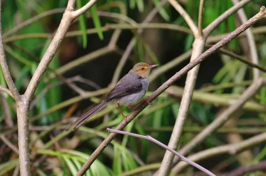
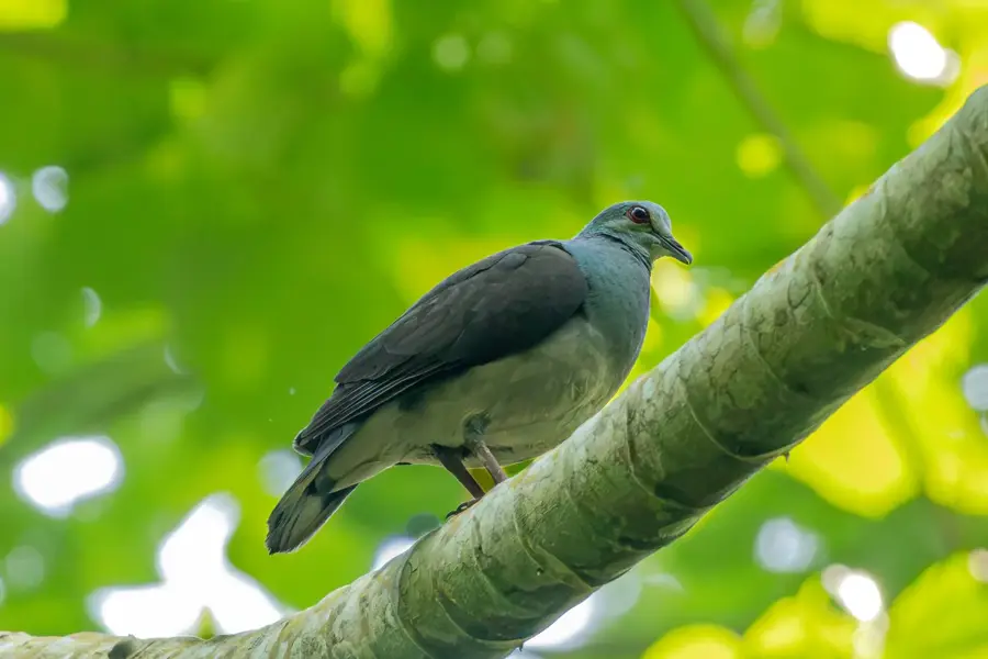
- Home to endemic birds like the São Tomé weaver.
Explore nearby
Notable places around
Route planner — Car & Motorhome
Where do you start? We build the route here, with stops and country notes along the way.
© OpenStreetMap contributors · OpenRouteService
Sights in the town Rio Contador (3)
Sights nearby
Frequently asked questions
Can one bathe in the river?
Is the water cold?
How to get to the river?
Are there insects there?
Is it photogenic?
Rio Contador: where is it located?
Rio Contador: what is there to see?
Rio Contador: when is the best time to visit?
Rio Contador: why is it worth visiting?

Nearby cities

Nature
More places