Plizio Visual Lab
Rio Lembá
Weather…
Water temperature…
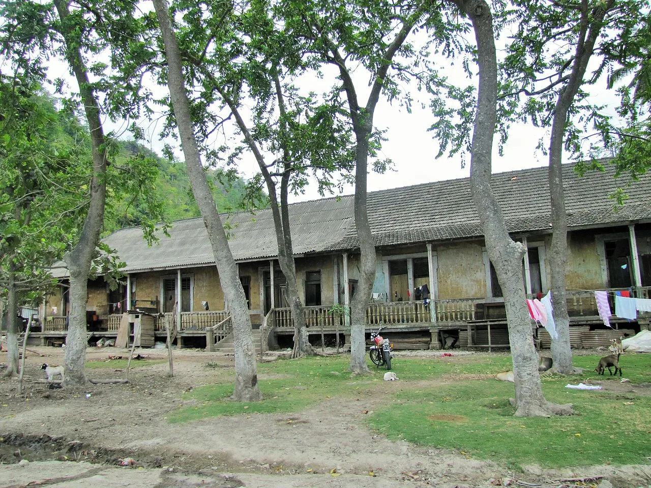
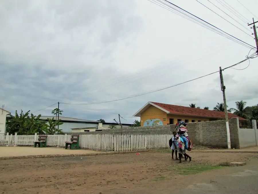
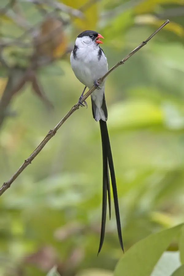
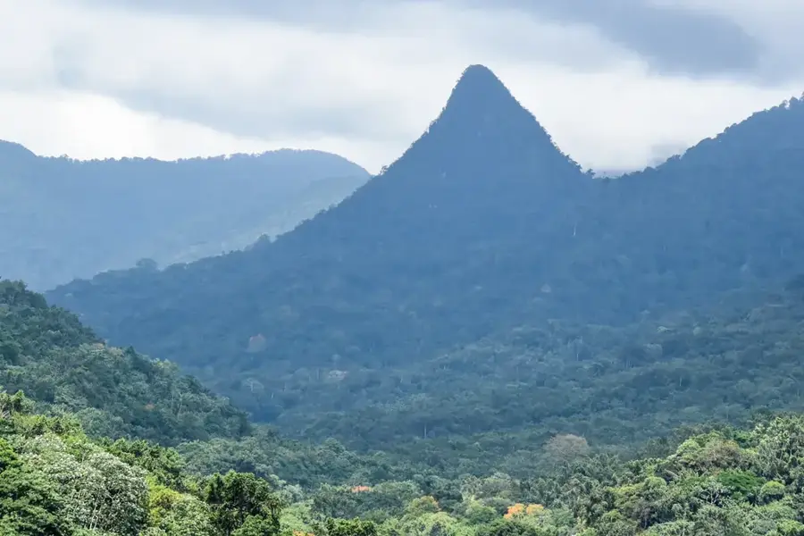
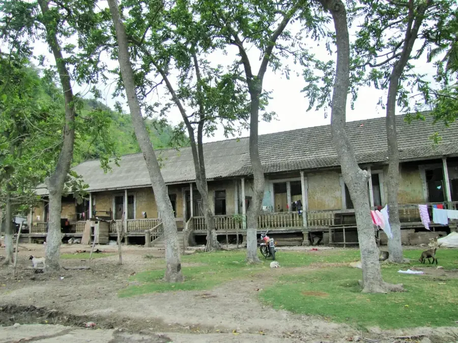
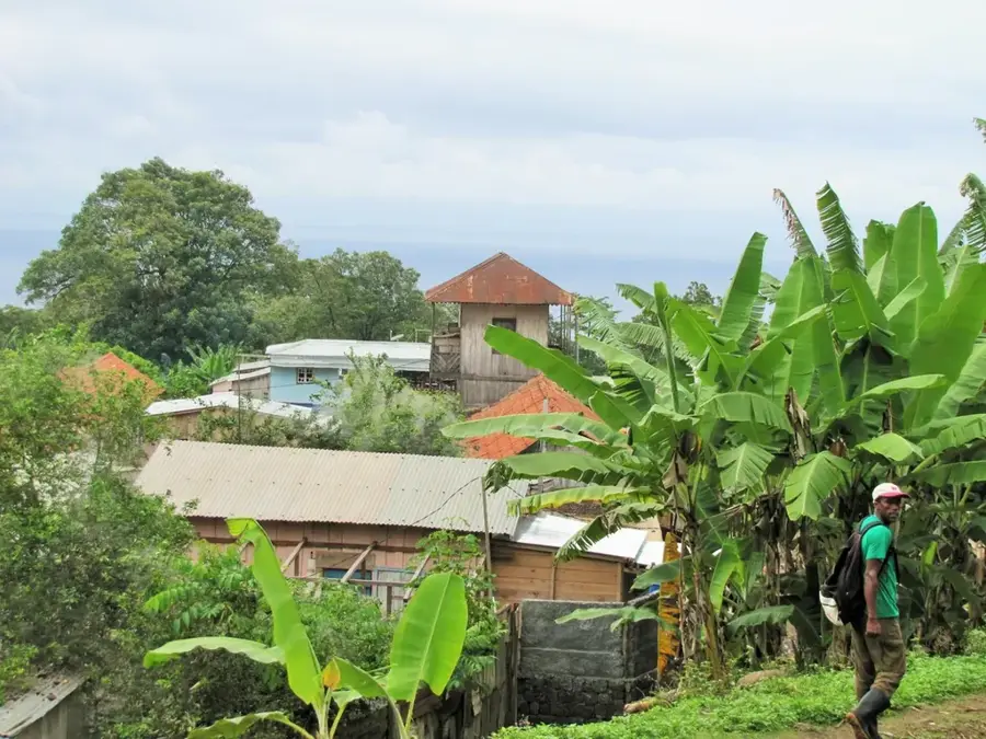
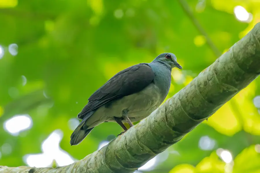
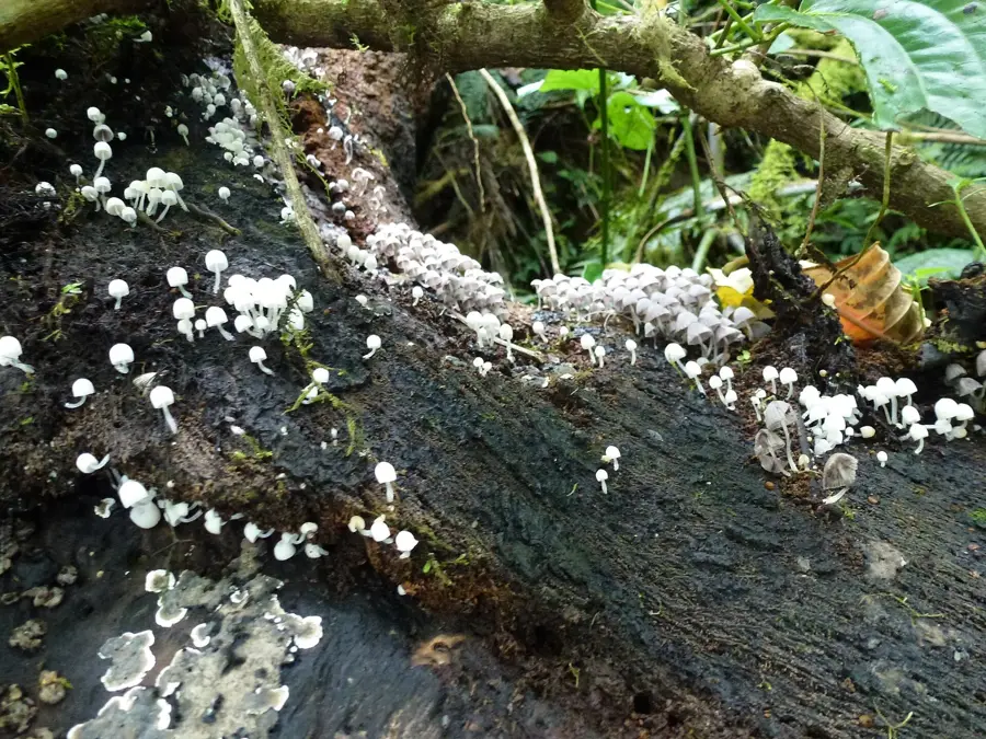
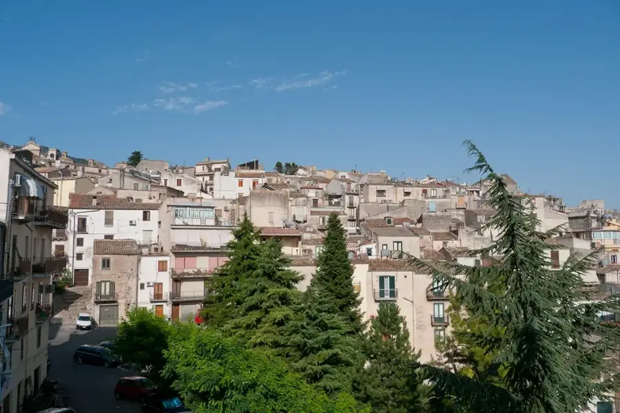
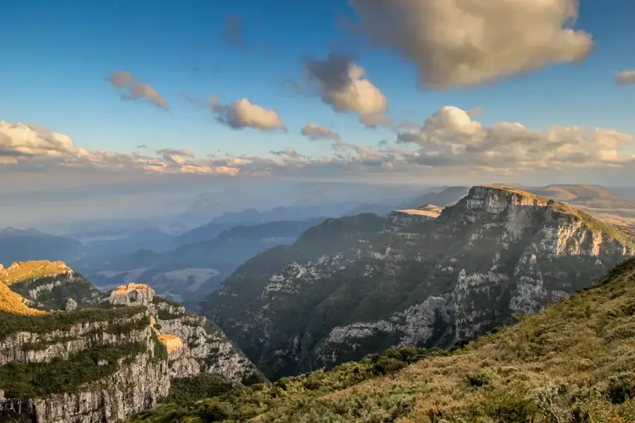
Rio Lembá is the most significant and one of the longest rivers in the west of São Tomé Island, flowing through the Lembá district named after it. It originates in the water-rich heights of the central volcanic massif at about 700 meters above sea level and drains large parts of the western highlands. Its course is characterized by deep, V-shaped valleys and spectacular gorges that bear witness to the enormous erosive power of water on the basaltic rock. During the colonial period, the Rio Lembá valley was an important center for agriculture, with the water used to irrigate extensive cocoa and coffee crops. The riparian vegetation consists of dense tropical forest, which represents an important corridor for the island's endemic fauna. The river eventually empties into the Bay of Lembá in the Atlantic, carrying significant volumes of water during rainy months. Today, the region around the river is largely sparsely populated due to its rugged topography, which has contributed to the preservation of natural water quality.
- Location: São Tomé & Príncipe
- Top sights: Praia de Ponta Figo · Neves, São Tomé and Príncipe
- Nearby: Ponta Figo (4 km)
Best time to visit & climate
The most pleasant time to visit is Jul–Sep.
| Jan | Feb | Mar | Apr | May | Jun | Jul | Aug | Sep | Oct | Nov | Dec | |
|---|---|---|---|---|---|---|---|---|---|---|---|---|
| Avg °C | 27 | 28 | 28 | 28 | 27 | 26 | 25 | 25 | 26 | 26 | 27 | 27 |
| Rain mm | 125 | 115 | 162 | 176 | 129 | 44 | 23 | 19 | 35 | 100 | 142 | 130 |
📋 Practical info
Geography
Facts
- Second longest river on São Tomé Island.
- Originates at approx. 700 m elevation in the central massif.
- Empties into the ocean near the village of Lembá.
- The drainage basin covers approx. 45 square kilometers.
- Known for its deep basaltic gorges.
- Important source for local drinking water supply.
Explore nearby
Notable places around
Route planner — Car & Motorhome
Where do you start? We build the route here, with stops and country notes along the way.
© OpenStreetMap contributors · OpenRouteService
Sights in the town Rio Lembá (2)
Sights nearby
Frequently asked questions
Are there hiking trails along Rio Lembá?
What is the best time for trips?
Can you fish here?
Is the river polluted?
What is there to see nearby?
Rio Lembá: where is it located?
Rio Lembá: what is there to see?
Rio Lembá: when is the best time to visit?
Rio Lembá: why is it worth visiting?

Nearby cities

Nature
More places