Plizio Visual Lab
Cumberland Valley

Weather…
Water temperature…
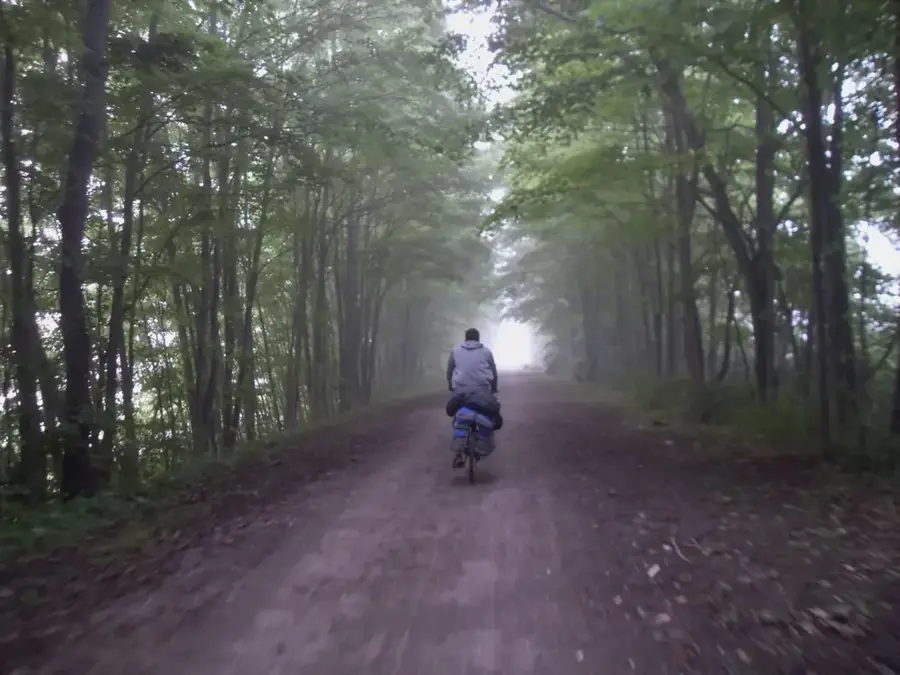
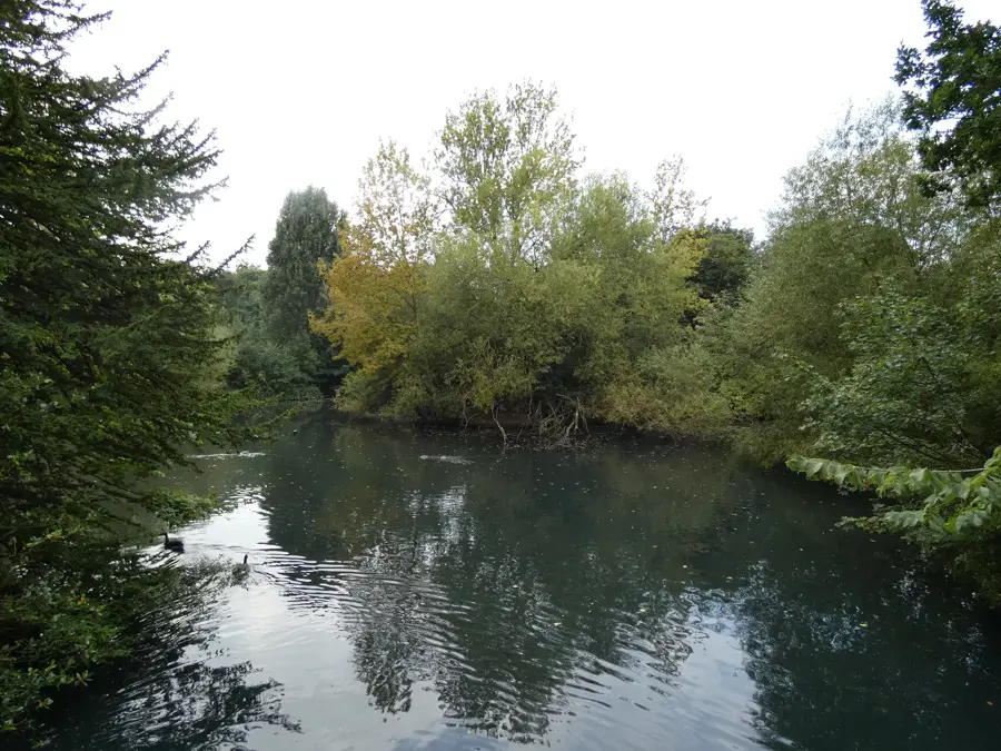
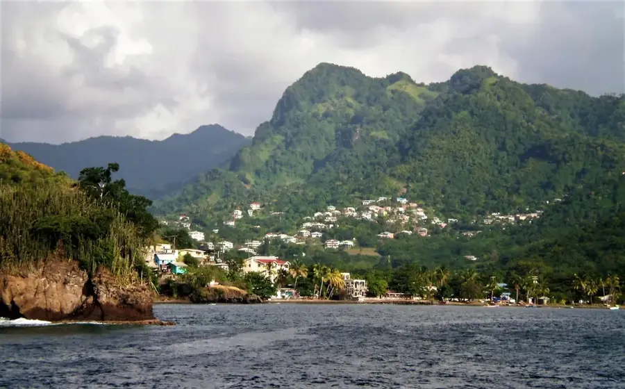
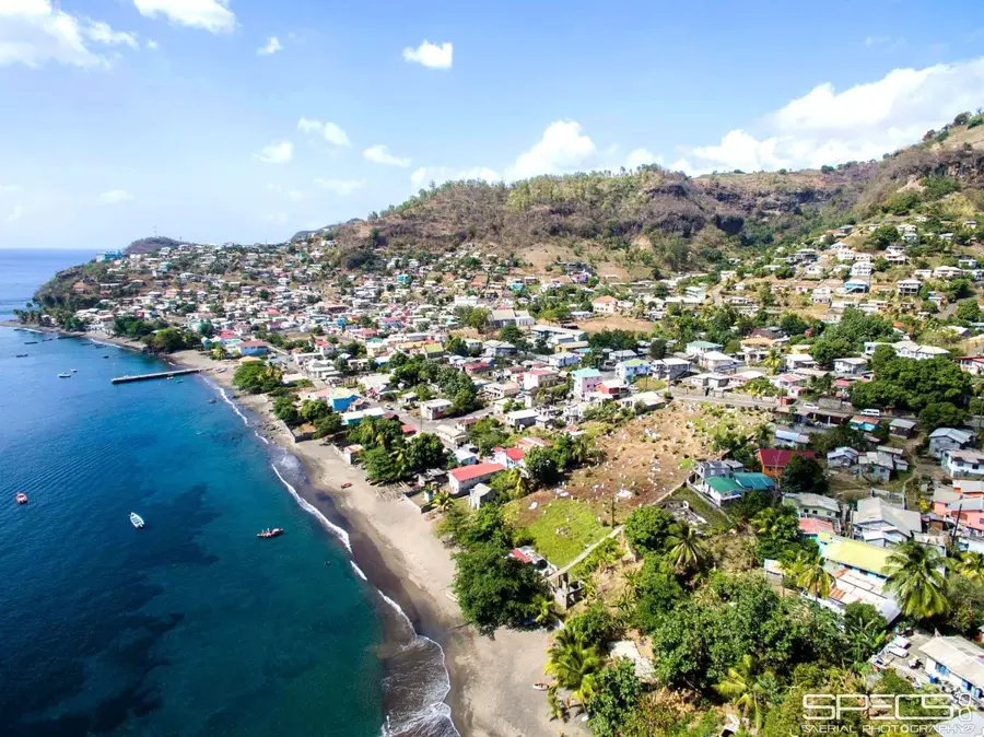
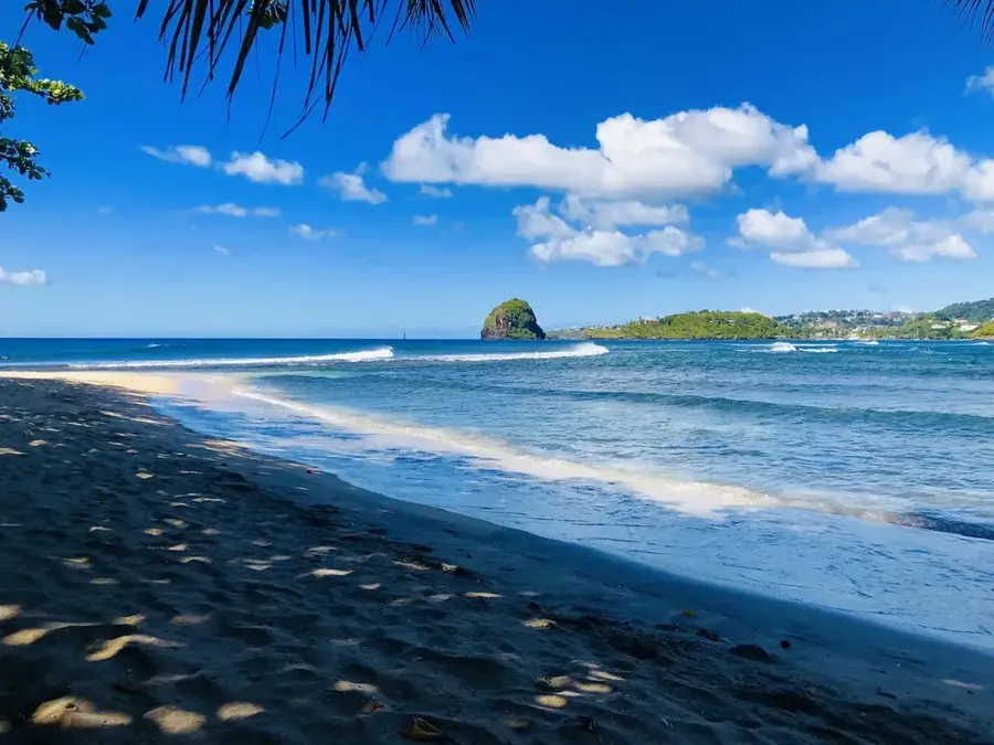
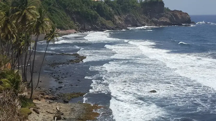
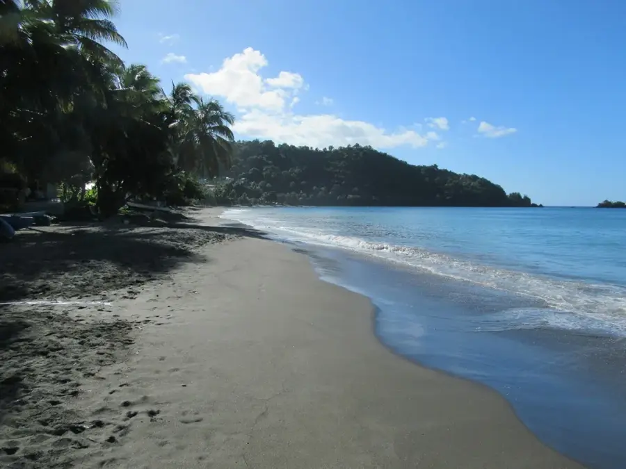
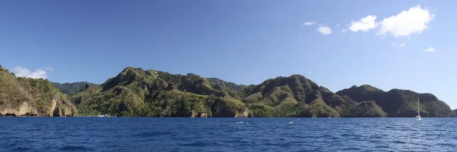
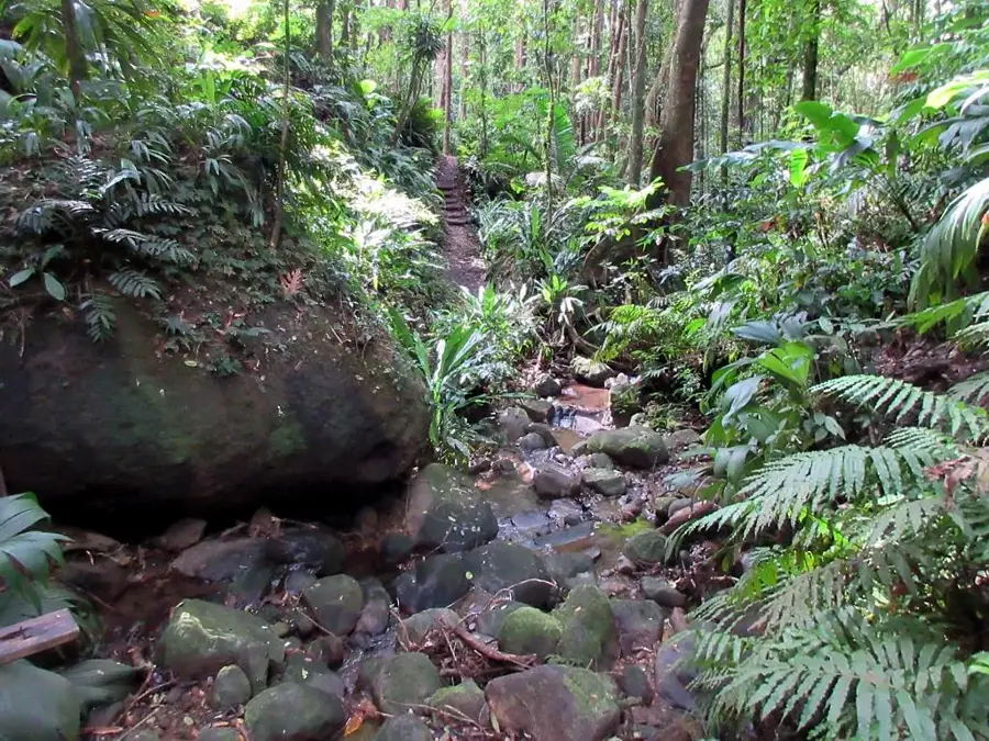
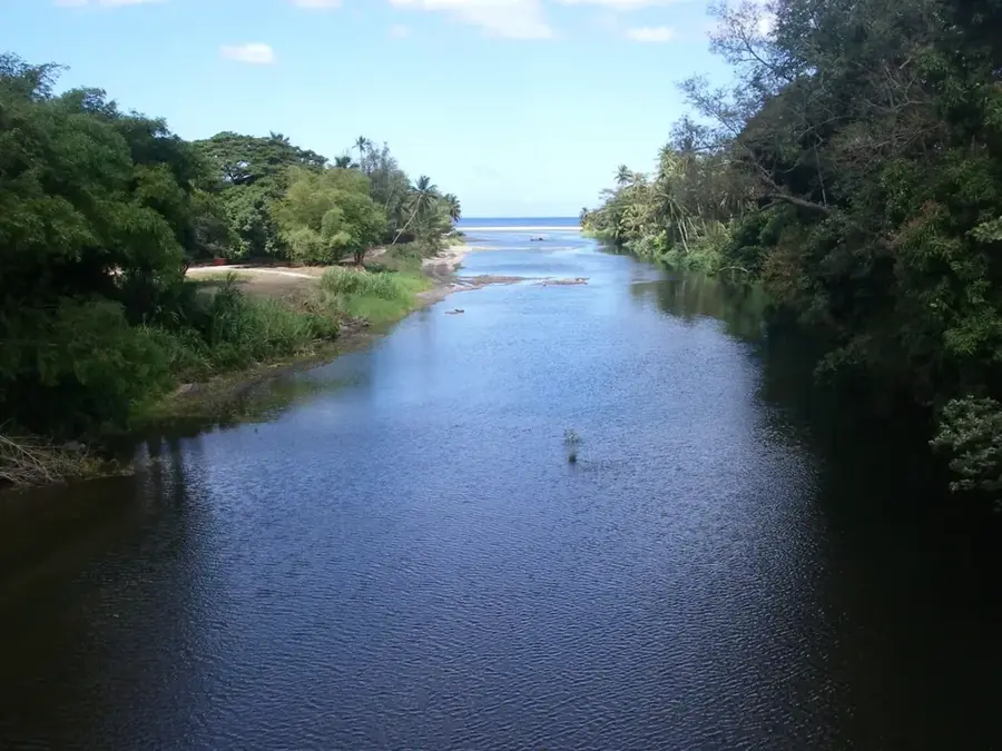
The Cumberland Valley is a distinctive geographical depression on the western coast of Saint Vincent, known for its spectacular topography and natural beauty. The valley extends from the central highlands to the Caribbean Sea and is drained by the Cumberland River. The steep slopes are covered with dense rainforest, providing refuge for numerous endemic species. Geologically, the valley is the result of intense erosion by the river system in volcanic rock. The Cumberland Valley plays an important economic role as it is the site of several hydroelectric power plants that use the river's water energy to generate electricity. A highlight for nature lovers is the Cumberland Nature Trail, which passes through the valley and features insights into the pristine flora and fauna. Historically, the valley was used for the cultivation of cocoa, coffee, and later bananas, reflecting the fertile nature of the soil. The mouth of the valley gives a natural harbor that was important in the past for the transport of agricultural goods. Today, the valley is an important area for nature conservation and sustainable tourism on the island.
- Location: St. Vincent & Grenadines
- Top sights: Rose Hall, Saint Vincent and the Grenadines · Spring Village, Saint Vincent and the Grenadines · Cumberland, Saint Vincent and the Grenadines
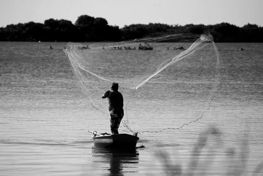
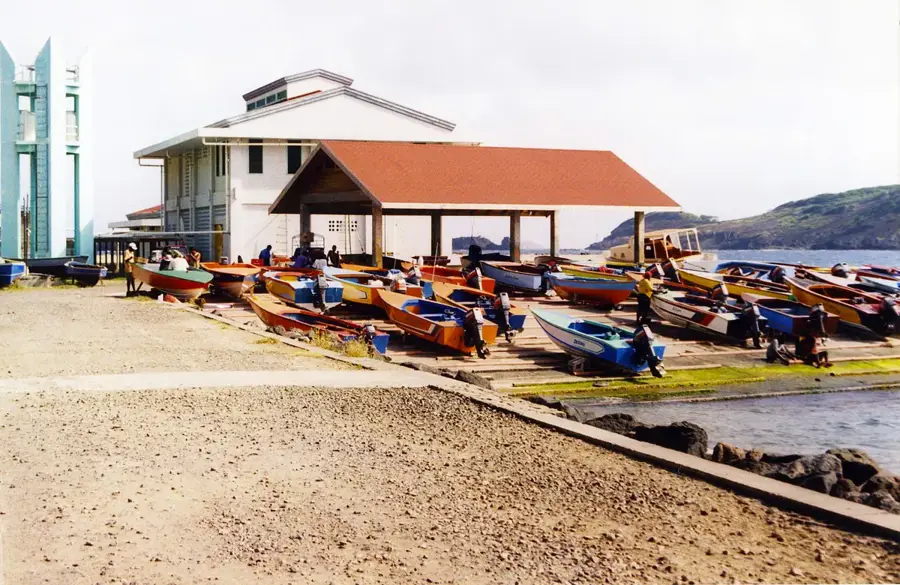
- Nearby: Barrouallie Fisheries Complex (5 km)
Best time to visit & climate
The most pleasant time to visit is Jan–Mar.
| Jan | Feb | Mar | Apr | May | Jun | Jul | Aug | Sep | Oct | Nov | Dec | |
|---|---|---|---|---|---|---|---|---|---|---|---|---|
| Avg °C | 27 | 26 | 26 | 27 | 28 | 28 | 28 | 28 | 29 | 28 | 28 | 27 |
| Rain mm | 59 | 38 | 39 | 71 | 74 | 114 | 122 | 144 | 144 | 159 | 139 | 74 |
📋 Practical info
Geography
Facts
- The valley hosts three hydroelectric power plants for electricity generation.
- The Cumberland Nature Trail is known for sightings of the Saint Vincent Parrot.
- It extends from the Leeward Mountains down to the Caribbean Sea.
- The bay at the mouth serves as a sheltered anchorage for boats.
- The valley was heavily used for cocoa cultivation during the colonial era.
- The Cumberland River features numerous natural pools and small waterfalls.
Explore nearby
Notable places around
Route planner — Car & Motorhome
Where do you start? We build the route here, with stops and country notes along the way.
© OpenStreetMap contributors · OpenRouteService
Sights in the town Cumberland Valley (3)
Sights nearby
Frequently asked questions
What makes the Cumberland Valley so special?
Is the valley suitable for photography?
Is there an entrance fee for the waterfalls?
Is the valley family-friendly?
What is the weather usually like in the valley?
Cumberland Valley: where is it located?
Cumberland Valley: what is there to see?
Cumberland Valley: when is the best time to visit?
Cumberland Valley: why is it worth visiting?
Nearby cities


History & landmarks
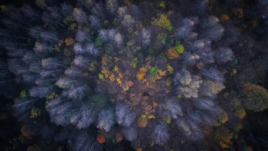
Nature

More places