Plizio Visual Lab
Mount St. Andrew

Weather…
Water temperature…
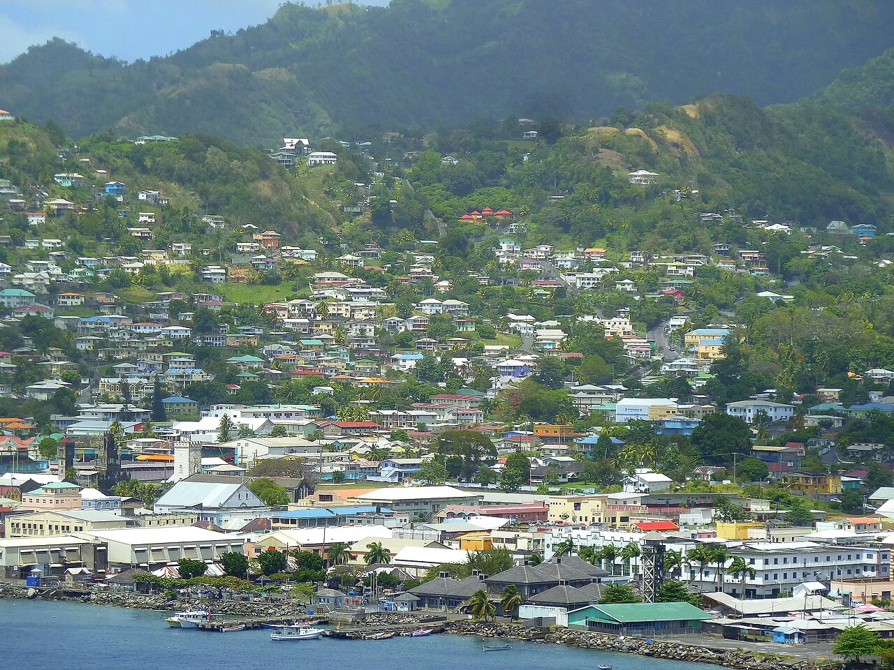
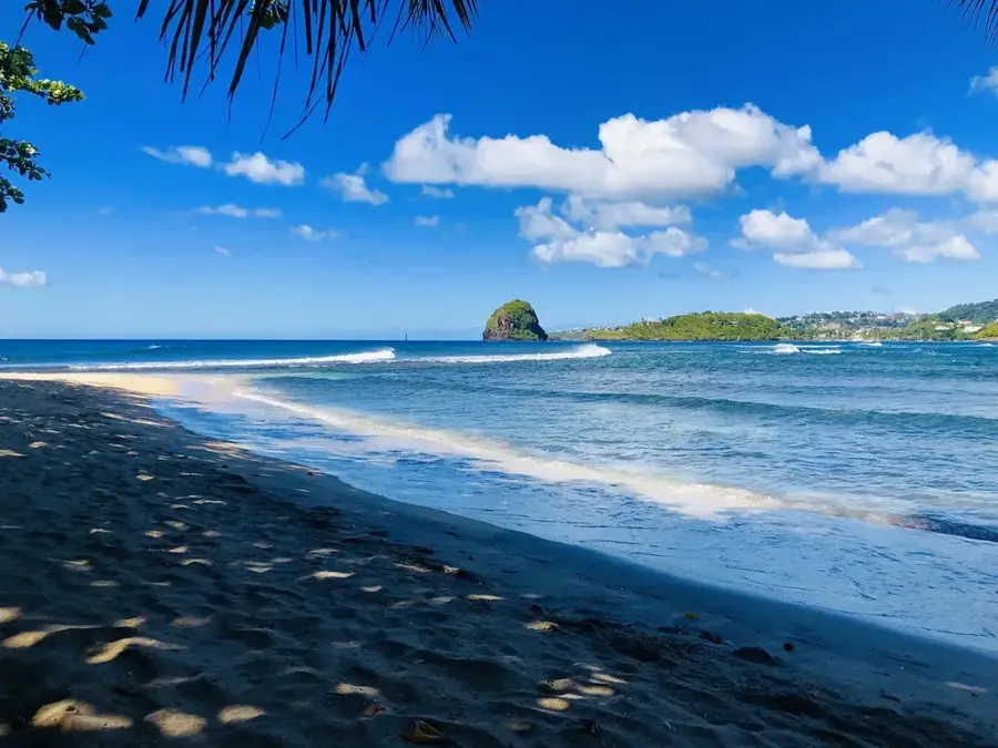
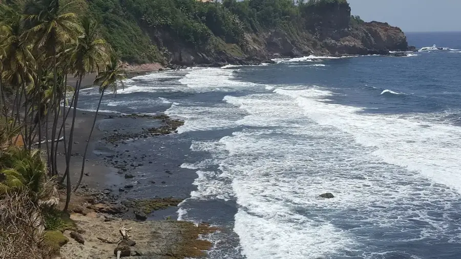
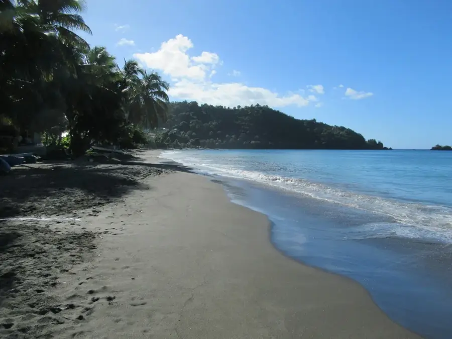
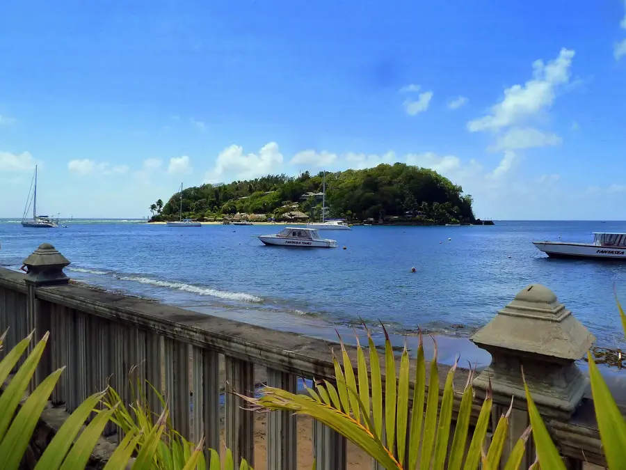
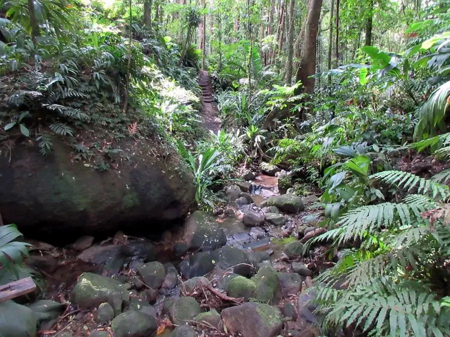
Mount St. Andrew is a prominent volcanic peak that, standing at approximately 735 meters, dominates the skyline above Kingstown. It is part of Saint Vincent's southern mountain range and is geologically older than the northern La Soufrière volcano. The mountain is almost entirely blanketed in dense primary rainforest, serving as a critical watershed for the surrounding urban areas. A steep hiking trail winds through lush vegetation to the summit, offering spectacular panoramic views of the capital, the harbor, and the distant Grenadines. Botanically, the mountain supports a rich diversity of orchids, giant ferns, and endemic plant species that thrive in the humid montane climate. Mount St. Andrew is also a significant site for birdwatching, where the endangered St. Vincent Parrot can often be spotted in its natural habitat. Protecting the mountain from deforestation and encroachment is a priority for local forestry authorities to maintain the ecological stability of the island's southern region.
- Location: St. Vincent & Grenadines
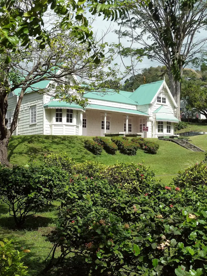
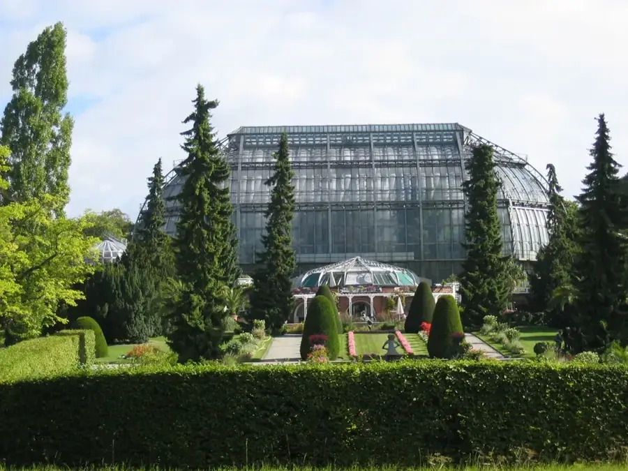
- Top sights: Questelles · Geography of Saint Vincent and the Grenadines · Saint Vincent and the Grenadines Botanic Gardens
- Nearby: Layou (4 km)
Best time to visit & climate
The most pleasant time to visit is Jan–Mar.
| Jan | Feb | Mar | Apr | May | Jun | Jul | Aug | Sep | Oct | Nov | Dec | |
|---|---|---|---|---|---|---|---|---|---|---|---|---|
| Avg °C | 27 | 26 | 27 | 27 | 28 | 28 | 28 | 28 | 28 | 28 | 28 | 27 |
| Rain mm | 27 | 15 | 20 | 21 | 41 | 68 | 74 | 88 | 88 | 107 | 89 | 43 |
📋 Practical info
Geography
Facts
- The highest peak in the immediate vicinity of Kingstown.
- Stands at an elevation of approximately 735 meters (2,411 feet).
- Crucial habitat for the endemic and endangered St. Vincent Parrot.
- Part of the geologically older southern mountain massif.
- The summit provides views of the islands of Bequia and Mustique.
- Acts as a primary natural water catchment area for southern St. Vincent.
Explore nearby
Notable places around
Route planner — Car & Motorhome
Where do you start? We build the route here, with stops and country notes along the way.
© OpenStreetMap contributors · OpenRouteService
Sights in the town Mount St. Andrew (3)
Sights nearby
Frequently asked questions
How difficult is the ascent of Mount St. Andrew?
Are there lookout points?
What is the vegetation like?
Is it safe for solo hikers?
Is drinking water needed?
Mount St. Andrew: where is it located?
Mount St. Andrew: what is there to see?
Mount St. Andrew: when is the best time to visit?
Nearby cities


History & landmarks

Nature
More places