Plizio Visual Lab
Gishwati Ridge
Weather…
Water temperature…
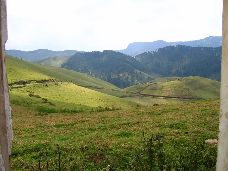
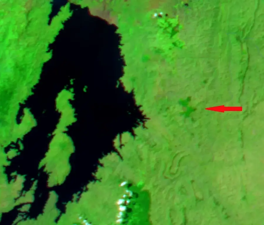
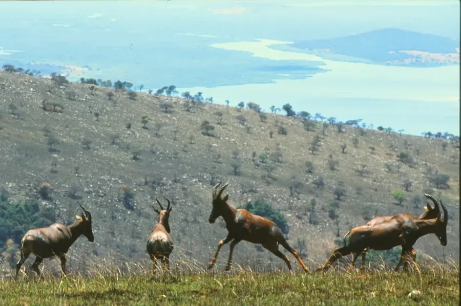
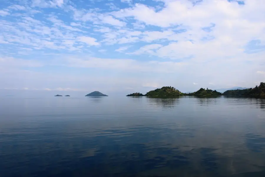
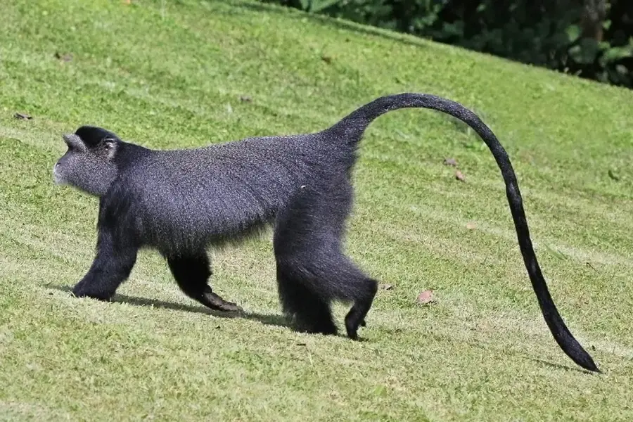
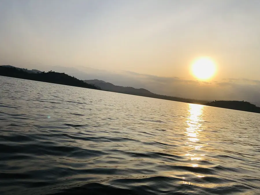
The Gishwati Ridge is a prominent mountain crest in northwestern Rwanda, forming an essential part of the continental divide between the Nile and Congo basins. This high-altitude region, reaching elevations of up to 2,500 meters, was originally covered by dense primary montane rainforest. Throughout the 20th century, deforestation driven by agriculture and resettlement programs led to a near-total loss of forest cover, resulting in severe soil erosion and landslides. Since the early 2000s, however, the Gishwati Ridge has been the site of one of Africa's most ambitious reforestation projects, which eventually led to the creation of the Gishwati-Mukura National Park in 2016. The ridge plays a crucial role in protecting endangered species, particularly an isolated population of chimpanzees and golden monkeys. Geologically, the ridge is characterized by steep slopes and deeply incised valleys formed by the uplift of the Albertine Rift. The region is also of great importance for regional water supply, as numerous streams originate here to support the surrounding agricultural lands.
- Location: Rwanda
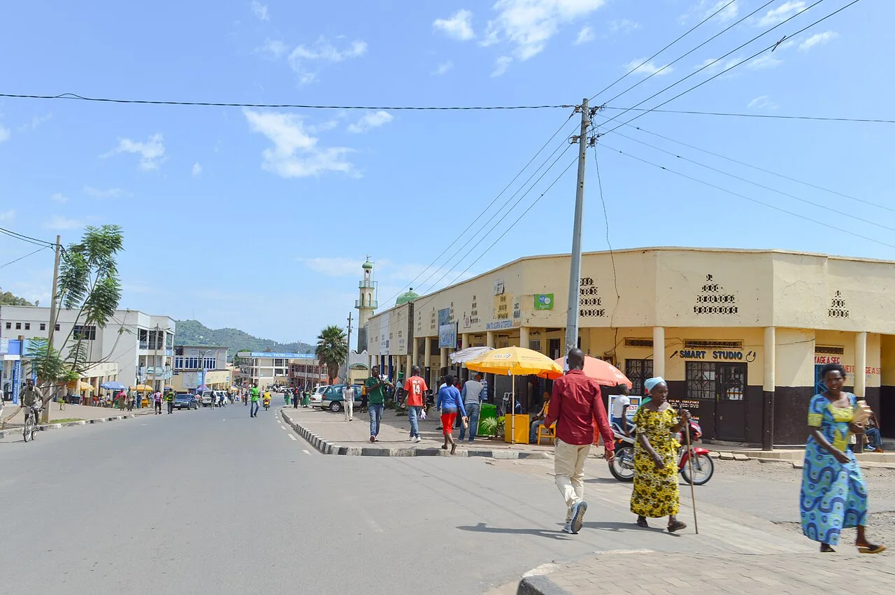
- Nearby: Rutsiro (8 km)
Best time to visit & climate
The most pleasant time to visit is Jun–Aug.
| Jan | Feb | Mar | Apr | May | Jun | Jul | Aug | Sep | Oct | Nov | Dec | |
|---|---|---|---|---|---|---|---|---|---|---|---|---|
| Avg °C | 20 | 21 | 21 | 20 | 19 | 19 | 19 | 20 | 21 | 20 | 20 | 20 |
| Rain mm | 126 | 133 | 191 | 191 | 141 | 61 | 38 | 80 | 118 | 164 | 196 | 149 |
📋 Practical info
Geography
Facts
- The region forms part of the divide between the Nile and Congo river basins.
- The maximum elevation of the Gishwati Ridge reaches approximately 2,500 meters.
- By the 1990s, forest cover had declined to less than 1% of its original area.
- The Gishwati-Mukura National Park was officially established in 2016.
- The area hosts an ecologically isolated group of approximately 30 chimpanzees.
- Annual rainfall is among Rwanda's highest, often exceeding 1,200 mm.
Explore nearby
Notable places around
Route planner — Car & Motorhome
Where do you start? We build the route here, with stops and country notes along the way.
© OpenStreetMap contributors · OpenRouteService
Sights nearby
Frequently asked questions
Is the Gishwati ridge forested?
Can you see chimpanzees here?
What is the weather like on the ridge?
Are there accommodations in Gishwati?
Are hikes there difficult?
Gishwati Ridge: where is it located?
Gishwati Ridge: when is the best time to visit?
Gishwati Ridge: why is it worth visiting?

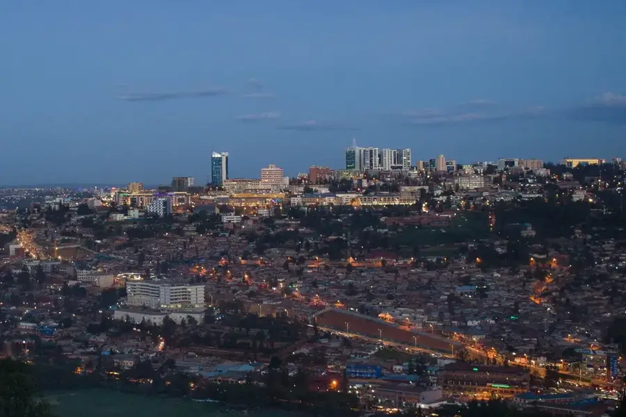
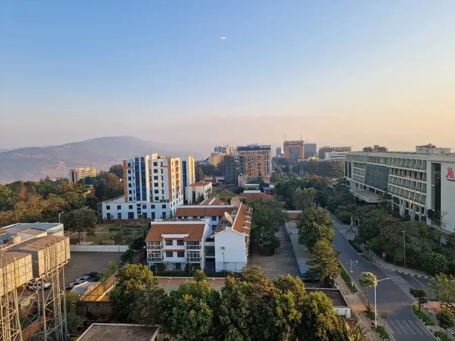
Nearby cities

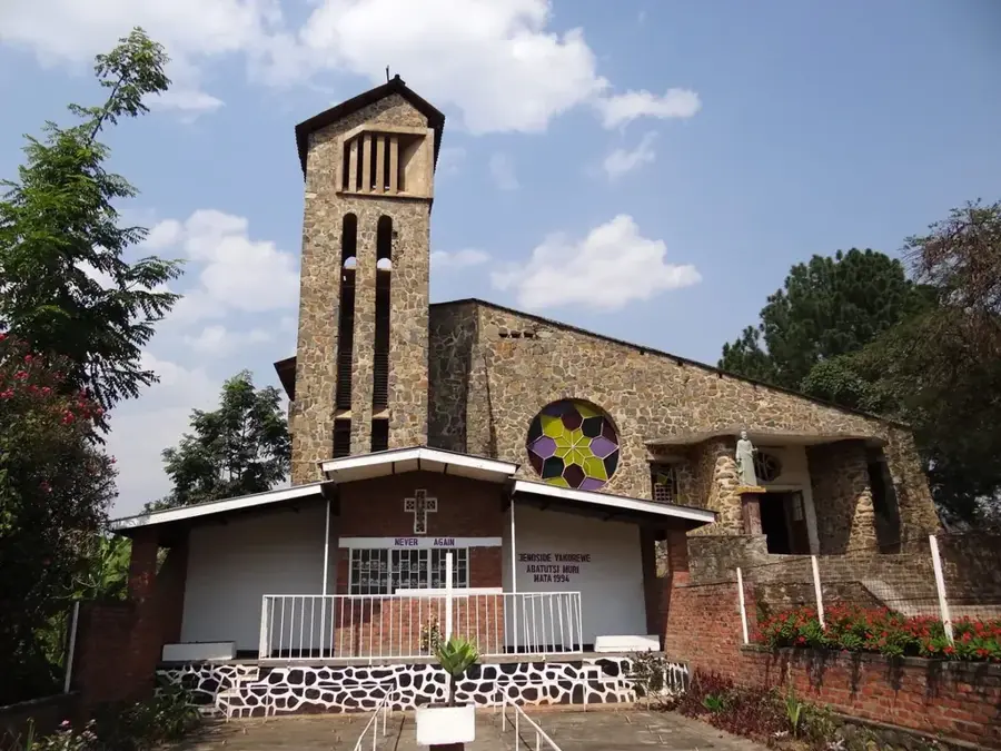
History & landmarks
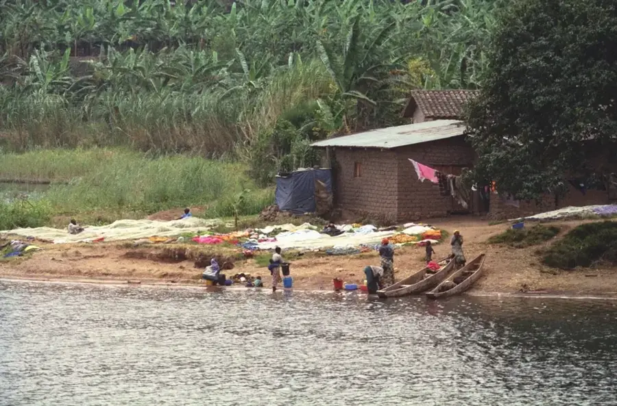
Nature

More places