Plizio Visual Lab
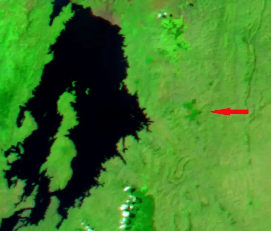
Gishwati Forest
Weather…
Water temperature…
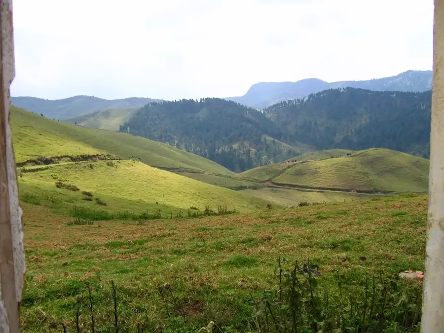
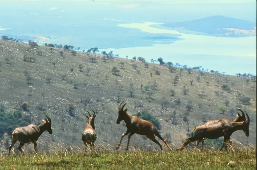
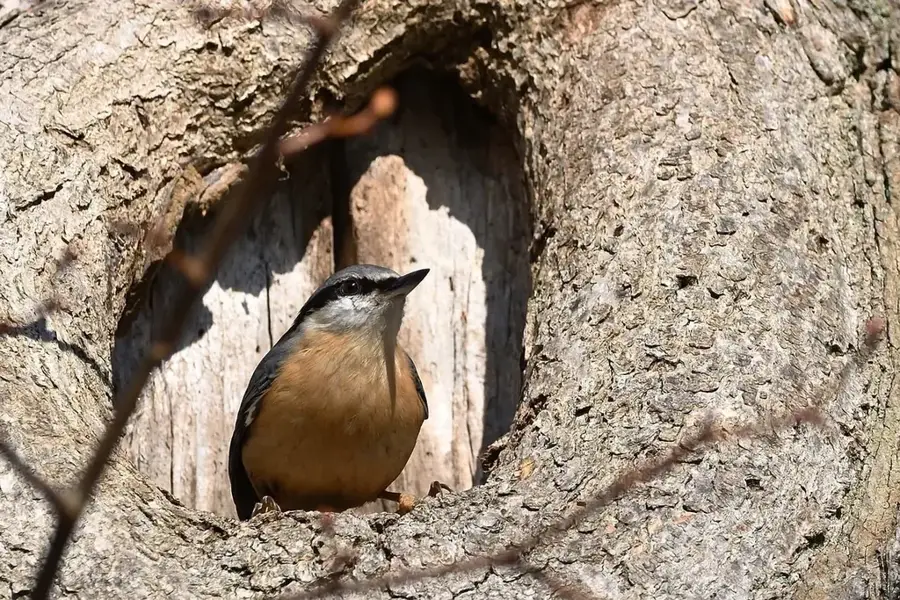
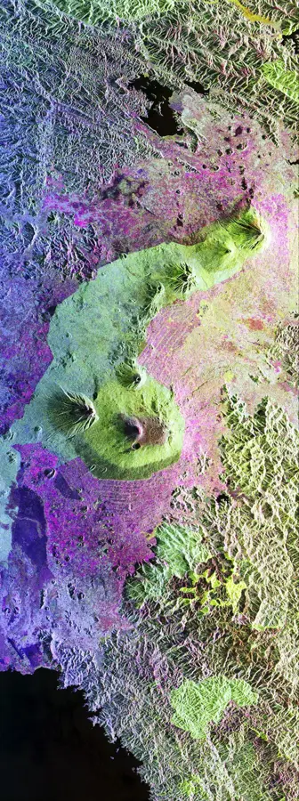
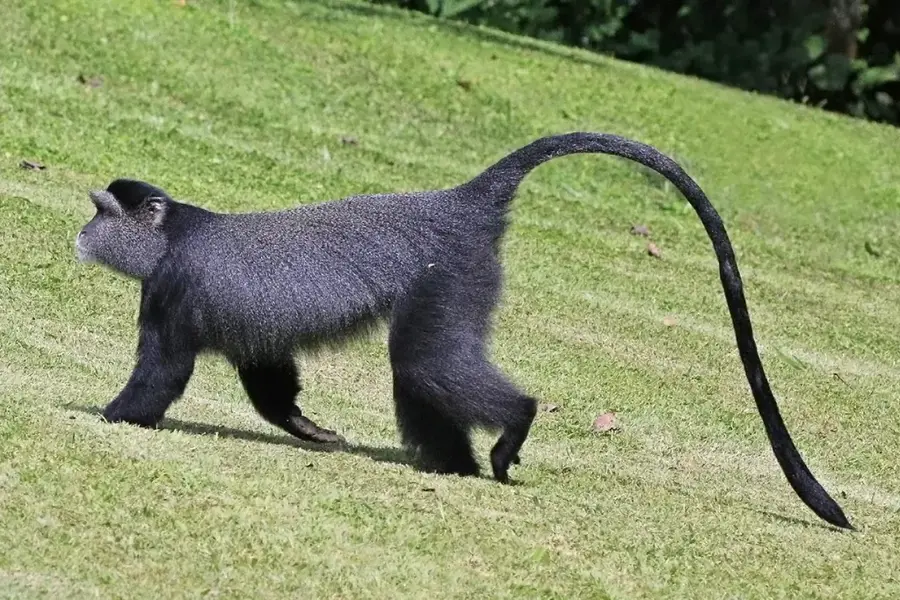
Gishwati Forest, in northwestern Rwanda, was once part of a vast forest system that stretched into the Congo. Its area was drastically reduced due to deforestation, overgrazing, and resettlement of refugees after the 1994 genocide. However, in recent years, massive reforestation efforts have been undertaken to restore the ecosystem and create a corridor to the Mukura Forest to the south. In 2015, the two forests were combined to create Gishwati-Mukura National Park. The forest is home to a small, isolated group of chimpanzees, as well as other primates like golden monkeys and L'Hoest's monkeys. The forest's restoration is critical for regulating water flow and preventing soil erosion in the region.
- Location: Rwanda
- Nearby: Rutsiro (7 km)
Best time to visit & climate
The most pleasant time to visit is Jun–Aug.
| Jan | Feb | Mar | Apr | May | Jun | Jul | Aug | Sep | Oct | Nov | Dec | |
|---|---|---|---|---|---|---|---|---|---|---|---|---|
| Avg °C | 20 | 21 | 21 | 20 | 19 | 19 | 19 | 20 | 21 | 20 | 20 | 20 |
| Rain mm | 126 | 133 | 191 | 191 | 141 | 61 | 38 | 80 | 118 | 164 | 196 | 149 |
📋 Practical info
Geography
Facts
- The forest lost over 90% of its area between 1986 and 2001.
- The reforestation project was initiated in 2007 by the Rwandan government and the Great Ape Trust.
- The park is Rwanda's fourth national park.
- The altitude ranges from 2,000 to 3,000 meters.
- Over 230 species of birds have been recorded in the forest.
- The forest is located on the Congo-Nile Divide.
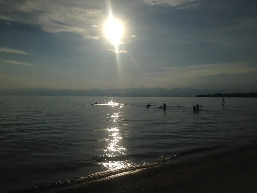
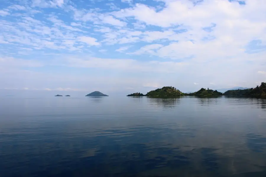
- Restoration helps improve the water quality of Lake Kivu.
Explore nearby
Notable places around
Route planner — Car & Motorhome
Where do you start? We build the route here, with stops and country notes along the way.
© OpenStreetMap contributors · OpenRouteService
Sights nearby
Frequently asked questions
What makes Gishwati Forest special?
Can you go on guided hikes?
How difficult are the trails?
Are there parking facilities?
Best time of day?
Gishwati Forest: where is it located?
Gishwati Forest: when is the best time to visit?
Gishwati Forest: why is it worth visiting?

Nearby cities

History & landmarks
Nature

More places