Plizio Visual Lab
Kamonyi
ℹ️Practical info — Kamonyi
▾
🌤 Weather — 5 days
📍 Nearby
Sights nearby
💡 Tips
- Stop at the Mashyiga Rocks to see the impressive geological formations and historical sites.
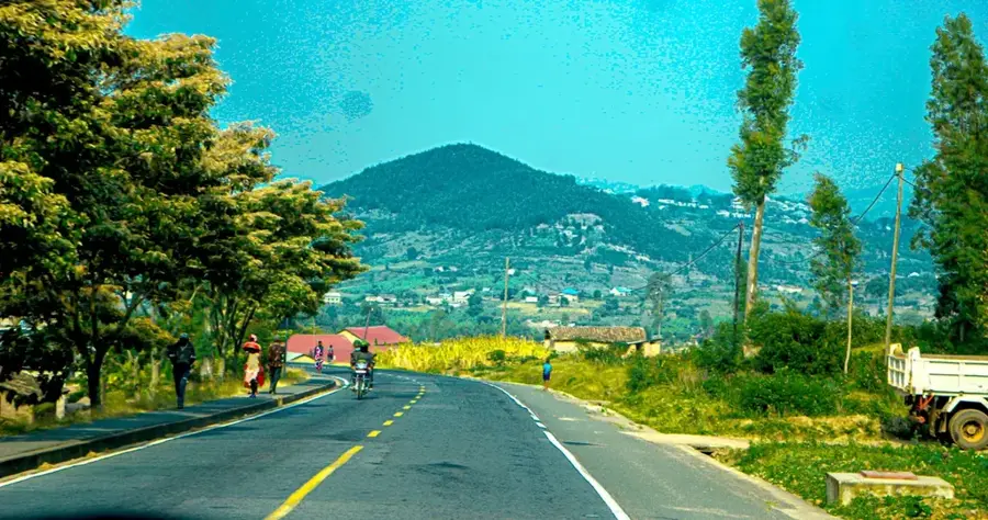
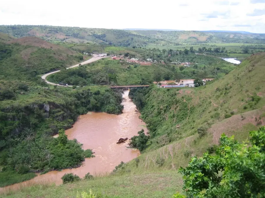
- Enjoy the panoramic views of the Nyabarongo River from the hills near Runda.
- Visit the local market on weekdays to experience the authentic rural atmosphere.
- Take advantage of the highway bus stops to buy fresh local fruits from roadside vendors.
- Look for the ancient 'Igisoro' board carved into the rock, linked to local royal legends.
🍽 Food
You can find these at almost every roadside stall in the Runda area, freshly grilled over charcoal.
A traditional dish of pounded cassava leaves, commonly served in small local canteens.
Local banana beer, which you can try in the small bars away from the main road.
🛍 Shopping · 🧘 Quiet spots
Buy sweet pineapples and bananas directly from farmers along the main highway.
Traditional woven 'peace baskets' can be found at small craft cooperatives in the village center.
A quiet hilltop viewpoint, excellent for sunset photography and reflection.
The paths along the river offer a peaceful escape from the busy highway traffic.
Water temperature…
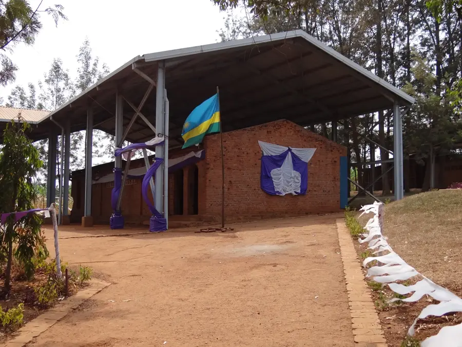
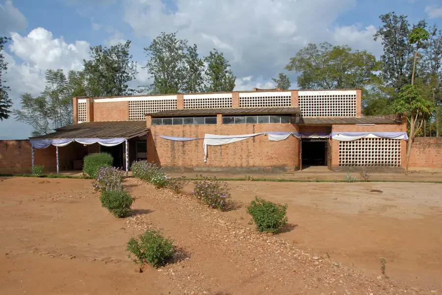
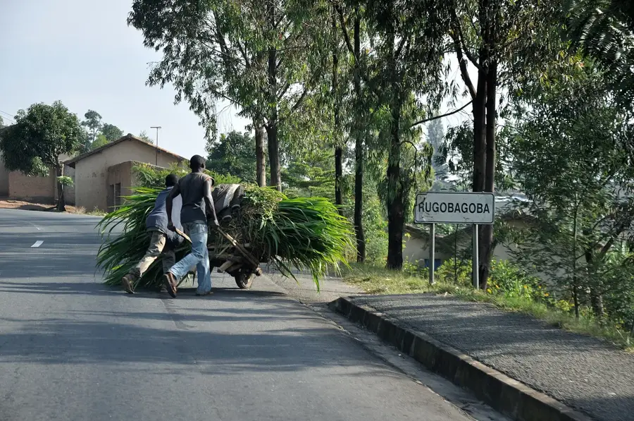
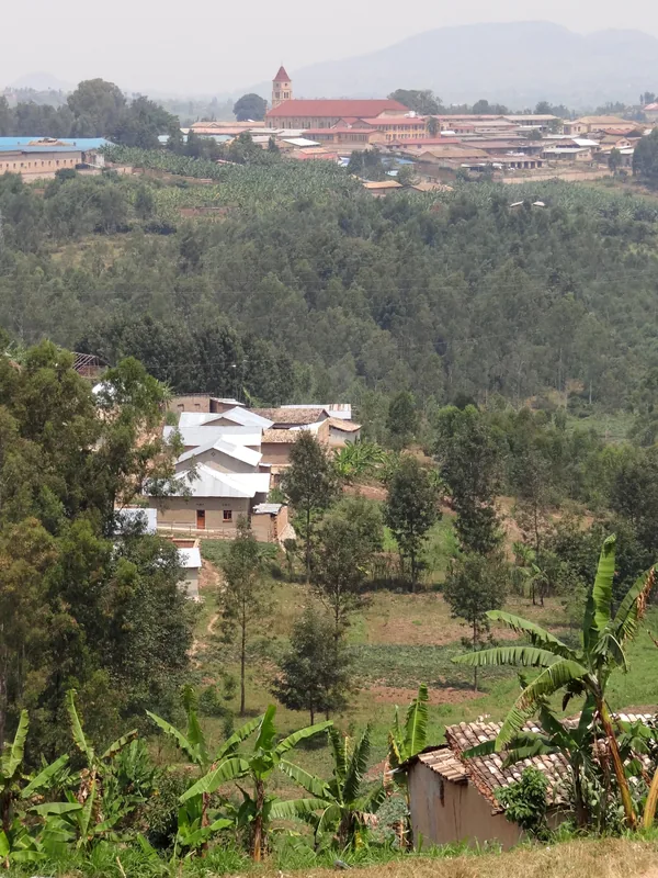
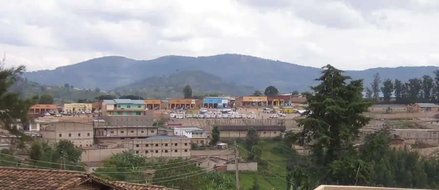
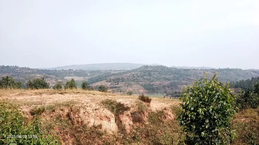
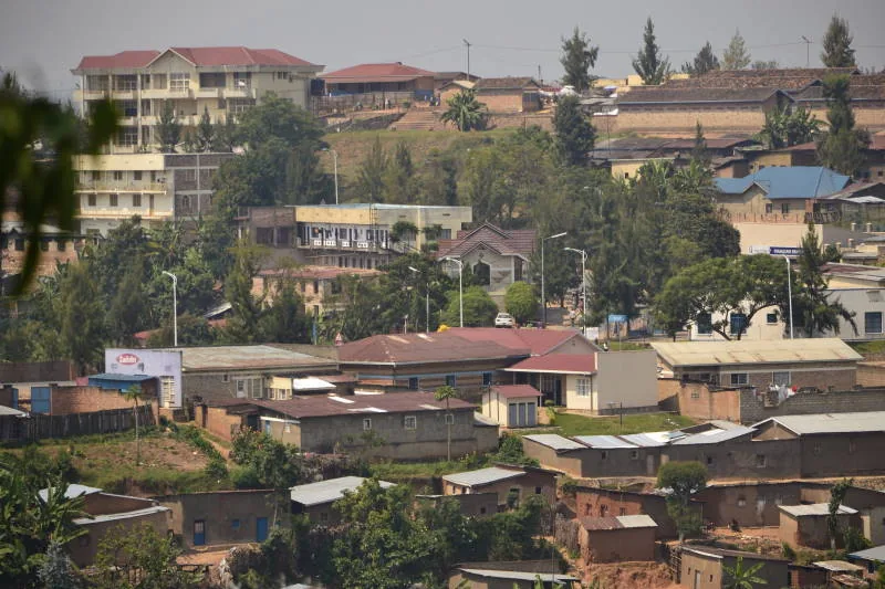
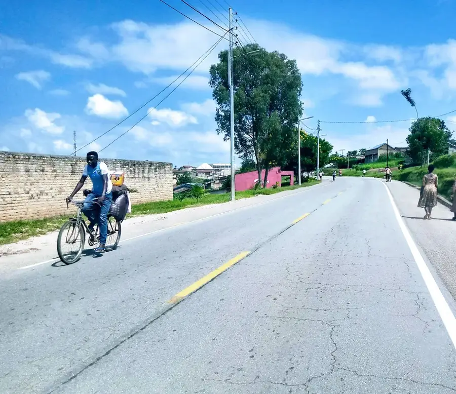
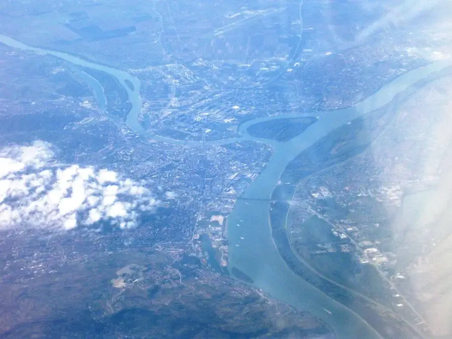
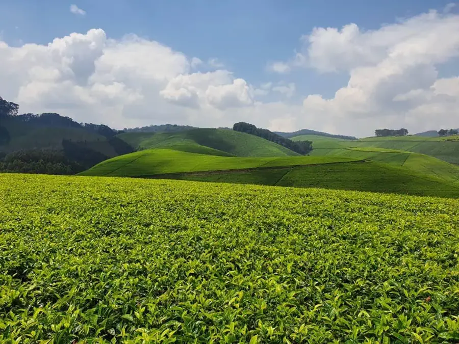
Kamonyi is a district in the Southern Province of Rwanda, directly bordering the capital Kigali to the south. Its capital is also Kamonyi. Due to its proximity to Kigali, the district is experiencing rapid growth and is developing into a kind of suburban or satellite region. Many residents commute daily to Kigali for work. Kamonyi's economy is a mix of agriculture, trade, and small-scale industries. Bananas, beans, and cassava are mainly grown. The region is also known for its brick production. The good transport links to the capital make Kamonyi an attractive location for investment. Historically, the region was an important part of the ancient Rwandan kingdom, and there are several historical sites in the district.
- Location: Rwanda
- Nearby: Muhanga (15 km)
Best time to visit & climate
The most pleasant time to visit is Jun–Aug.
| Jan | Feb | Mar | Apr | May | Jun | Jul | Aug | Sep | Oct | Nov | Dec | |
|---|---|---|---|---|---|---|---|---|---|---|---|---|
| Avg °C | 20 | 21 | 20 | 20 | 19 | 19 | 19 | 20 | 21 | 20 | 19 | 20 |
| Rain mm | 96 | 102 | 154 | 178 | 139 | 50 | 31 | 56 | 88 | 129 | 160 | 109 |
Geography
Facts
- Direct proximity to the capital Kigali.
- Rapid growth as a suburban region.
- Many residents are commuters.
- Important for brick production.
- Agriculturally characterized by bananas and beans.
- Good transport links to Kigali.
Explore nearby
Notable places around
Route planner — Car & Motorhome
Where do you start? We build the route here, with stops and country notes along the way.
© OpenStreetMap contributors · OpenRouteService
Frequently asked questions
How can I reach Kamonyi the fastest?
Is a day trip to Kamonyi worth it?
Are there interesting places there?
Is the area good for photographers?
What is the weather like in Kamonyi?
Kamonyi: where is it located?
Kamonyi: when is the best time to visit?
Kamonyi: why is it worth visiting?

Nearby cities
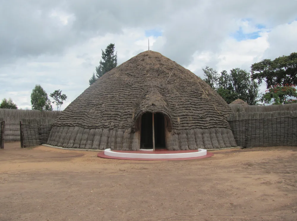
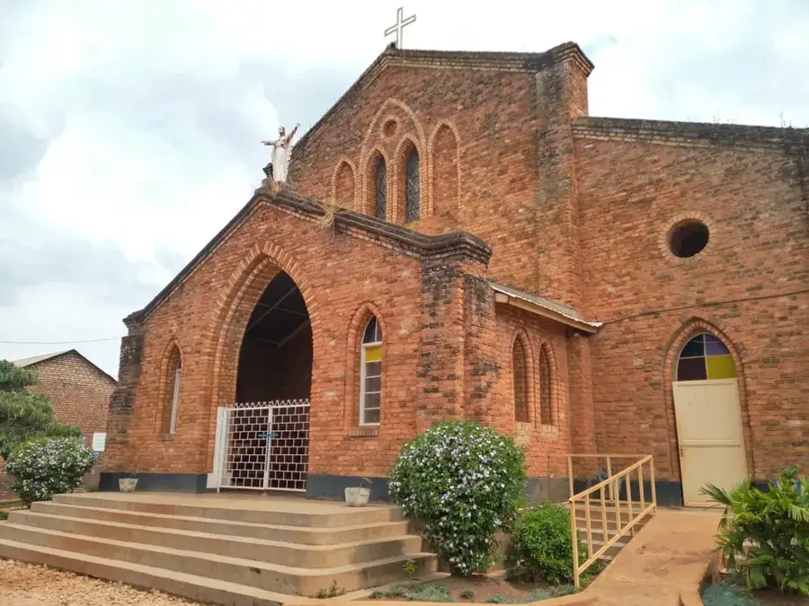
History & landmarks

More places