Plizio Visual Lab
Lake Burera

Weather…
Water temperature…
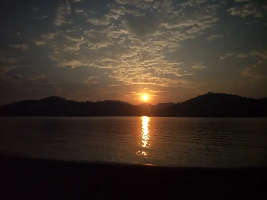
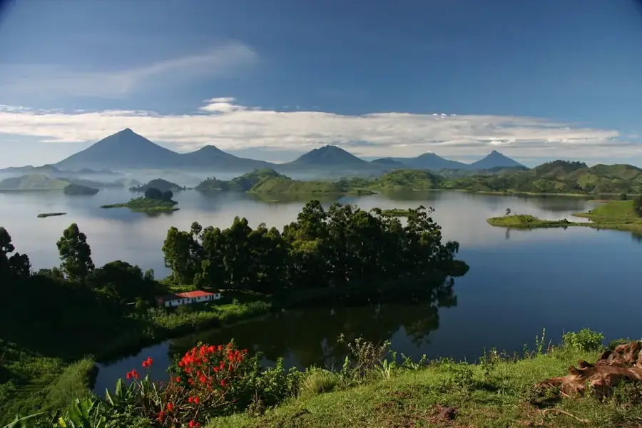
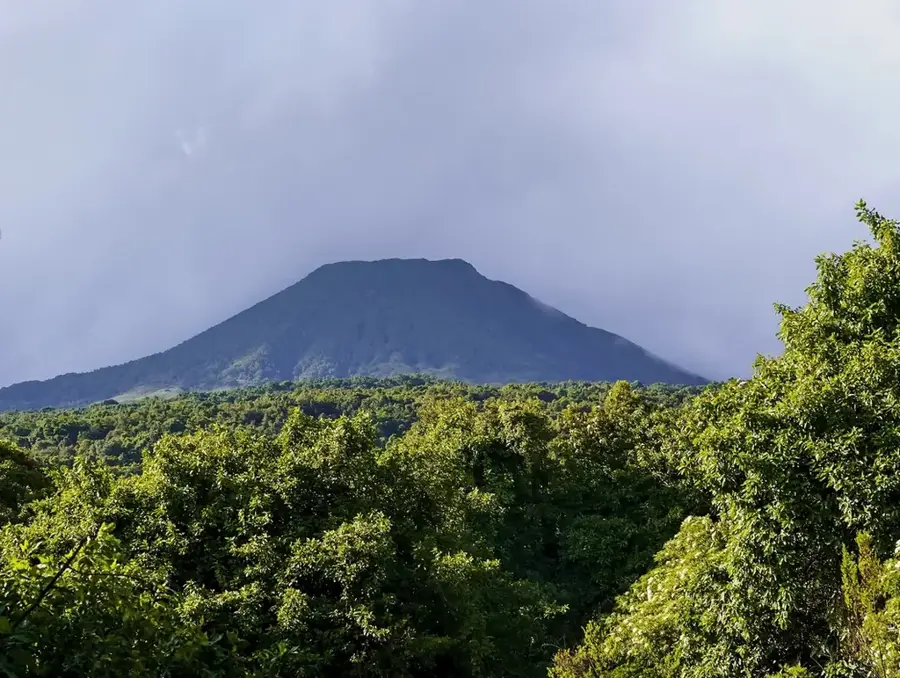
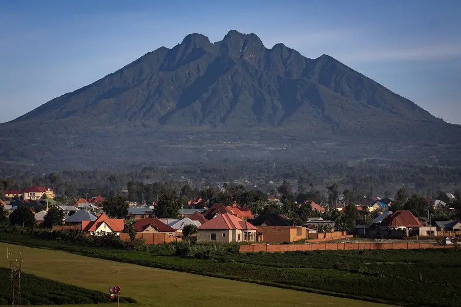
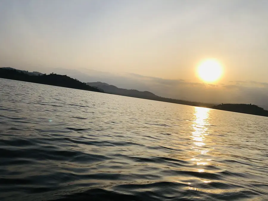
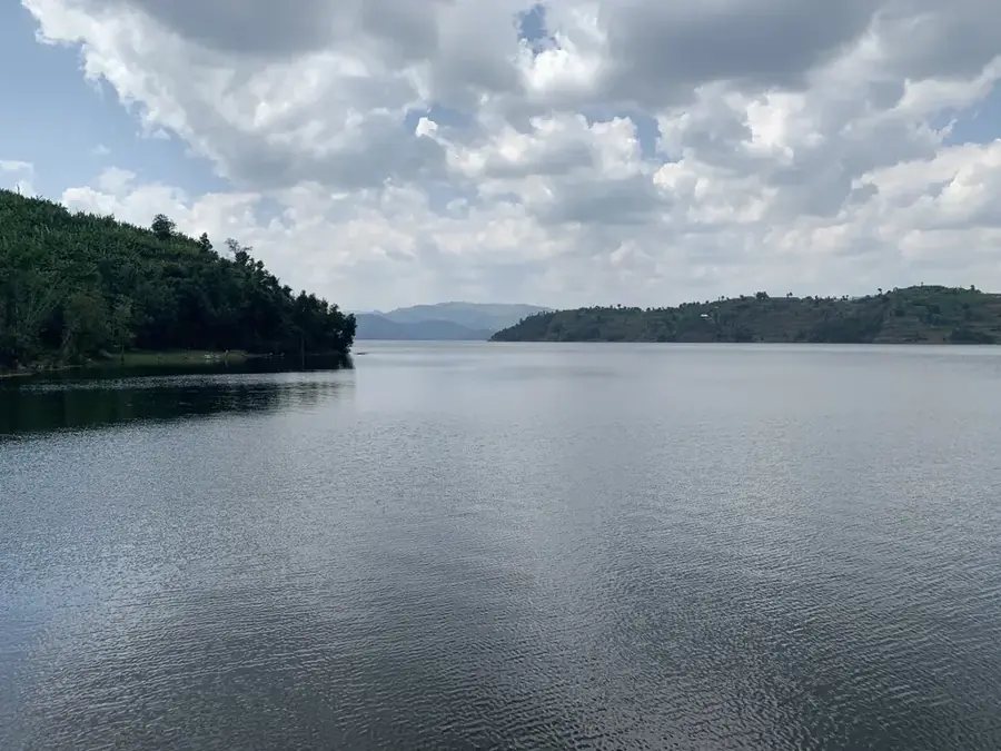
Lake Burera is one of Rwanda's most scenic highland lakes, situated in the northern part of the country at the base of the Virunga volcanoes. Together with its neighbor, Lake Ruhondo, it is famously known as one of the 'Twin Lakes.' The lake was formed thousands of years ago when lava flows from the Sabyinyo volcano blocked the natural drainage of regional rivers, creating a deep volcanic dam. It sits at an altitude of 1,862 meters and covers an area of approximately 55 square kilometers. The lake is surrounded by steep, terraced hillsides that are meticulously farmed by local communities, creating a dramatic and beautiful landscape. Its waters are exceptionally deep and clear compared to the shallower lakes in eastern Rwanda. Economically, Lake Burera is vital for the nation's energy sector as it feeds the Ntaruka hydroelectric power plant. Recently, it has emerged as a premier destination for ecotourism, with boat excursions and lakeside hiking trails attracting visitors to the region.
- Location: Rwanda
- Nearby: Burera (6 km)
Best time to visit & climate
The most pleasant time to visit is Jun–Aug.
| Jan | Feb | Mar | Apr | May | Jun | Jul | Aug | Sep | Oct | Nov | Dec | |
|---|---|---|---|---|---|---|---|---|---|---|---|---|
| Avg °C | 18 | 19 | 18 | 18 | 17 | 17 | 17 | 17 | 18 | 18 | 18 | 18 |
| Rain mm | 100 | 108 | 173 | 193 | 164 | 67 | 46 | 75 | 113 | 160 | 176 | 126 |
📋 Practical info
Geography
Facts
- Located at an elevation of 1,862 meters in Northern Rwanda.
- Created by lava damming of ancient river valleys.
- One of the 'Twin Lakes' along with Lake Ruhondo.
- Spans a surface area of approximately 55 square kilometers.
- Primary water source for the Ntaruka hydroelectric station.
- Famous for its steep, terraced volcanic hillsides.
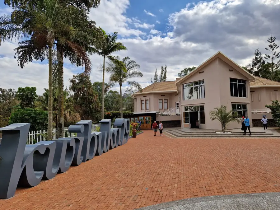
Explore nearby
Notable places around
Route planner — Car & Motorhome
Where do you start? We build the route here, with stops and country notes along the way.
© OpenStreetMap contributors · OpenRouteService
Sights nearby
Frequently asked questions
Is Lake Burera safe for visitors?
Can you swim in the lake?
How do I reach Lake Burera?
Are there restaurants nearby?
What is the best season to visit?
Lake Burera: where is it located?
Lake Burera: when is the best time to visit?
Lake Burera: why is it worth visiting?

Nearby cities

History & landmarks
Nature

More places