Plizio Visual Lab
Tambomachay
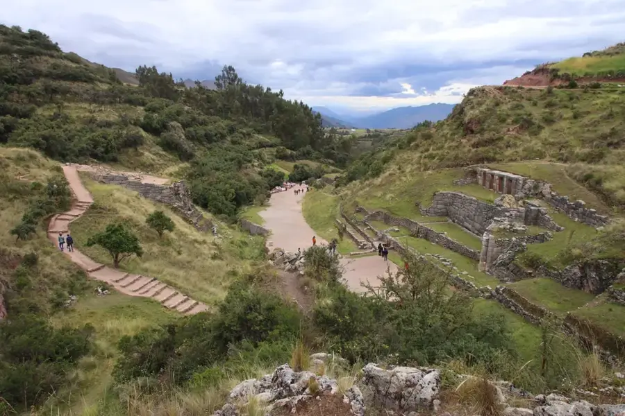
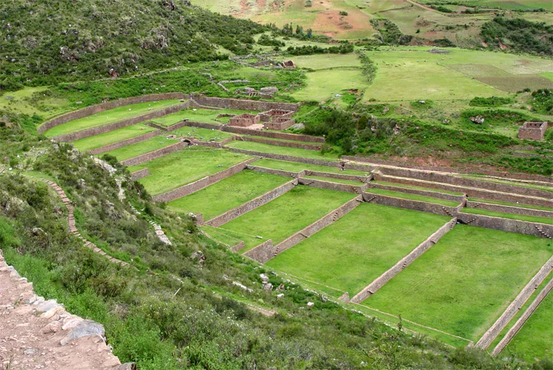
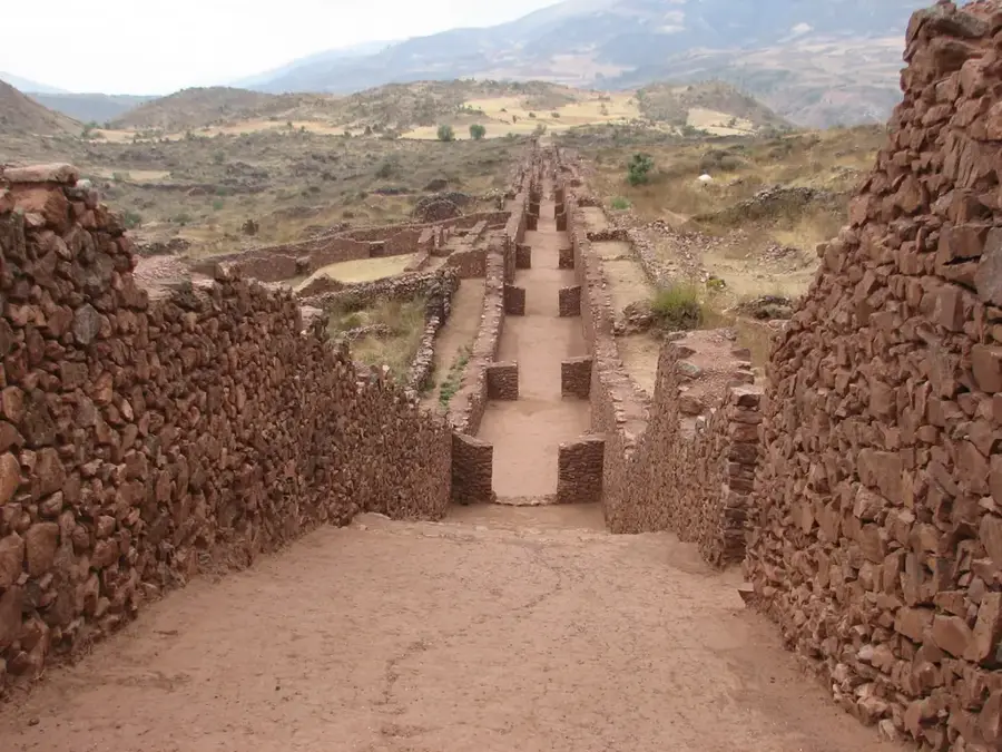
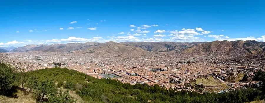
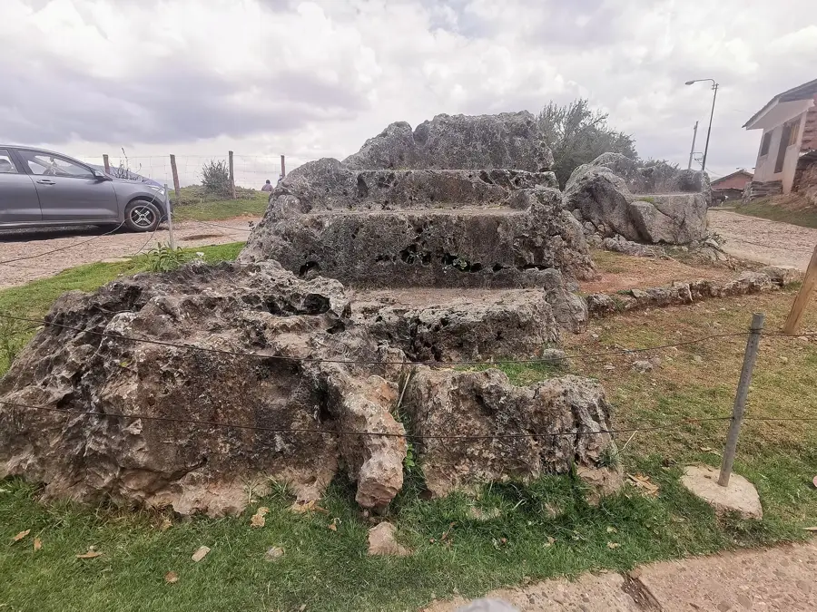
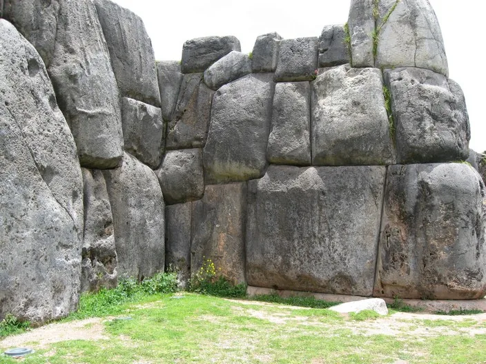
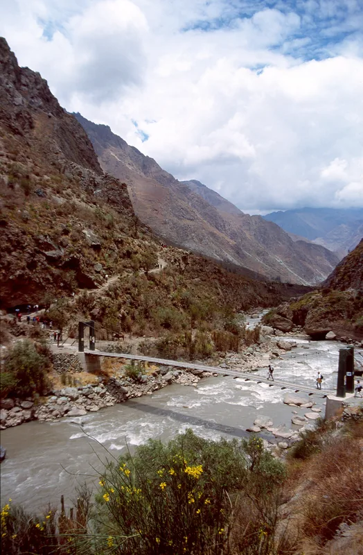
Tambomachay is a fascinating Incan archaeological site located about eight kilometers north of Cusco, often referred to as the 'Bath of the Inca.' The complex consists of a series of finely crafted terraces, niches, and fountains through which crystal-clear water flows year-round. The exact source of the water remains a mystery to this day, highlighting the advanced hydraulic engineering skills of the Incas. Tambomachay likely served ritualistic purposes, specifically dedicated to the cult of water, which played a central role in the Andean worldview concerning the fertility of the land. Some historians also suggest it functioned as a royal retreat or resort for the Inca ruler and his entourage during hunting trips or travels. The architecture features expertly carved stones that fit perfectly together, showcasing the harmonious integration of the structures into the natural hillside environment. Nearby ruins like Puka Pukara suggest that the entire area held significant administrative and military roles in protecting the approaches to Cusco. Its tranquil atmosphere and the constant sound of flowing water make Tambomachay a place of peace and spiritual depth.
- Location: Peru
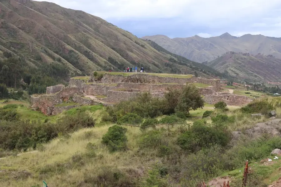
- Top sights: Tuqowachana · Negruyoq · Ñustapakana
- Nearby: Urubamba (18 km)
Best time to visit & climate
The most pleasant time to visit is May, Aug, Sep.
| Jan | Feb | Mar | Apr | May | Jun | Jul | Aug | Sep | Oct | Nov | Dec | |
|---|---|---|---|---|---|---|---|---|---|---|---|---|
| Avg °C | 9 | 9 | 8 | 8 | 8 | 8 | 7 | 8 | 9 | 9 | 9 | 9 |
| Rain mm | 129 | 127 | 96 | 44 | 9 | 4 | 11 | 8 | 18 | 63 | 72 | 137 |
📋 Practical info
Geography
Facts
- Tambomachay is situated at an elevation of approximately 3,765 meters above sea level.
- The water system features two perfectly synchronized channels that deliver equal amounts of water.
- The site is primarily associated with ancient rituals of purification and agricultural fertility.
- The main wall contains four large trapezoidal niches used for storing sacred objects.
- The stonework follows the imperial Inca style, with precisely fitted stones and no mortar.
- It was strategically linked with Puka Pukara as part of the outer defense of Cusco.
Explore nearby
Notable places around
Route planner — Car & Motorhome
Where do you start? We build the route here, with stops and country notes along the way.
© OpenStreetMap contributors · OpenRouteService
Sights in the town Tambomachay (7)
Sights nearby
Frequently asked questions
What are the opening hours of Tambomachay?
Do I need a ticket for Tambomachay?
How much time is needed for Tambomachay?
Is Tambomachay suitable for children?
Is photography allowed at Tambomachay?
Tambomachay: where is it located?
Tambomachay: what is there to see?
Tambomachay: when is the best time to visit?
Tambomachay: why is it worth visiting?

Nearby cities
History & landmarks

Nature
More places