Plizio Visual Lab
Ausangate

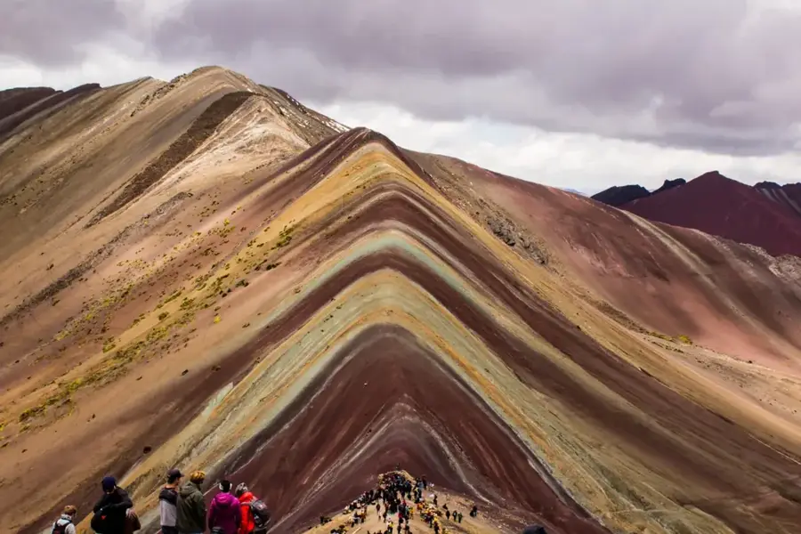
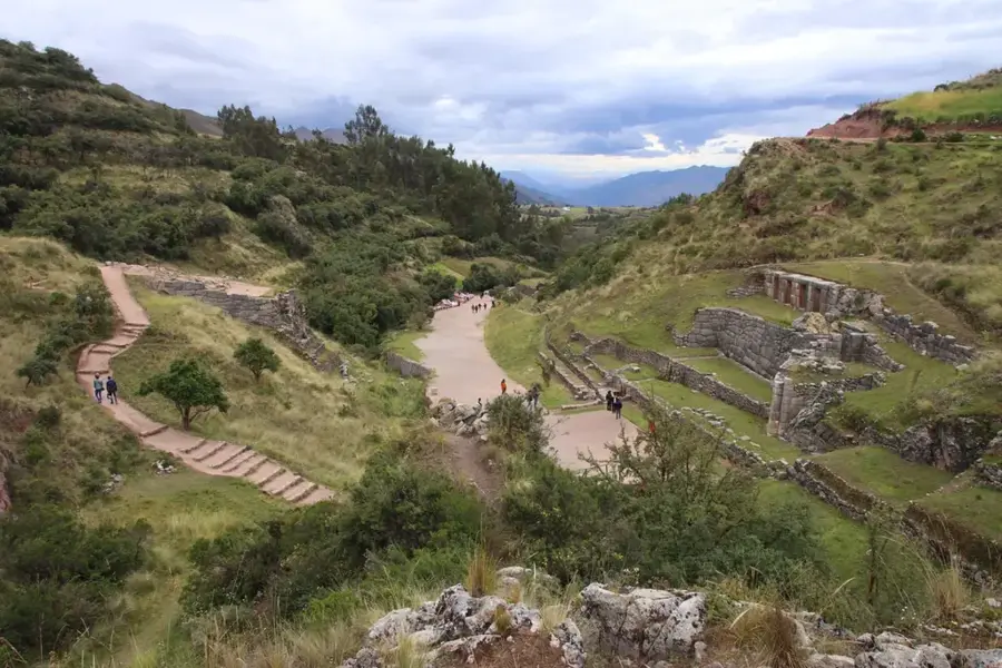
Ausangate is the highest peak in the Cordillera Vilcanota range, standing at 6,384 meters above sea level and located approximately 100 kilometers southeast of Cusco. In Andean cosmology, it is revered as one of the most powerful 'Apus,' or sacred mountain spirits, believed to provide water and protect the local livestock. The surrounding landscape is world-renowned for its dramatic scenery, including turquoise glacial lakes, high-altitude plateaus, and the famous multi-colored Rainbow Mountain (Vinicunca). Every year, the region hosts the Qoyllur Rit'i festival, a major pilgrimage where thousands of devotees gather at the Sinakara glacier to celebrate the 'Star Snow' festival, recognized by UNESCO as intangible cultural heritage. Geologically, the mountain is characterized by its massive glaciers and steep ice walls, which serve as crucial water reservoirs for the Cusco region. The indigenous communities living on its slopes remain some of the last traditional pastoralists in the Andes, raising alpacas and llamas as they have for centuries. The Ausangate Circuit provides one of the most challenging and rewarding trekking experiences in Peru, traversing passes higher than 5,000 meters.
- Location: Peru
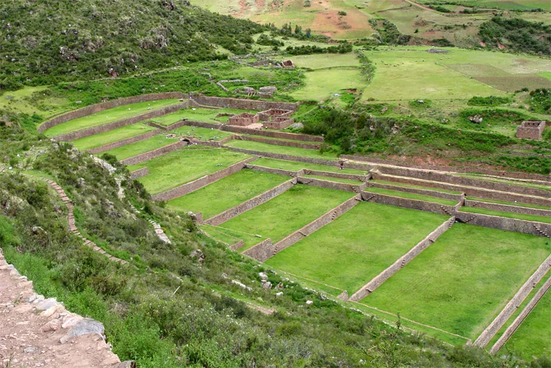
- Top sights: Abra Paloman · Ausangate · Nevado Queullacocha
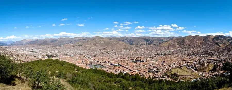
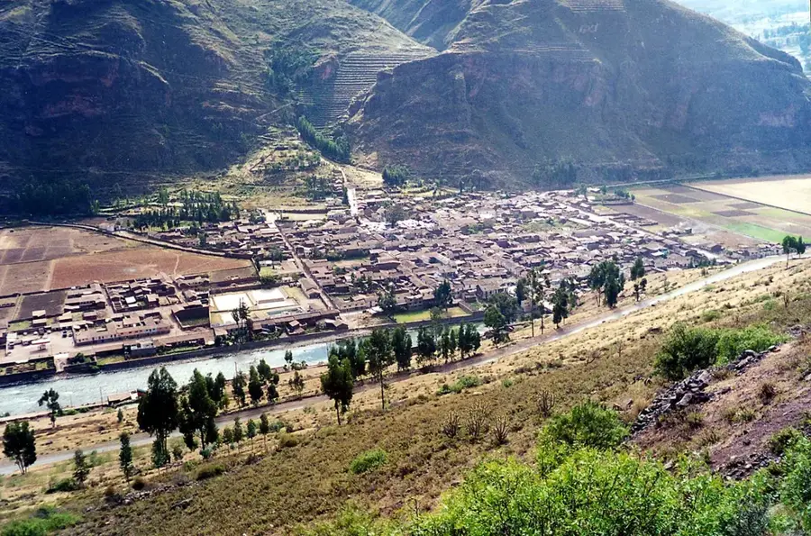
- Nearby: Chivay (77 km)
Best time to visit & climate
The most pleasant time to visit is May, Aug, Sep.
| Jan | Feb | Mar | Apr | May | Jun | Jul | Aug | Sep | Oct | Nov | Dec | |
|---|---|---|---|---|---|---|---|---|---|---|---|---|
| Avg °C | 6 | 5 | 5 | 5 | 5 | 4 | 4 | 4 | 5 | 6 | 6 | 6 |
| Rain mm | 127 | 130 | 92 | 45 | 12 | 6 | 11 | 9 | 18 | 64 | 65 | 134 |
📋 Practical info
Geography
Facts
- Ausangate stands at an elevation of 6,384 meters (20,945 feet).
- It is considered the primary 'Apu' of the Cusco region.
- The Ausangate Circuit involves crossing several passes above 5,000 meters.
- The Rainbow Mountain was hidden under snow until climate change revealed its colors in recent decades.
- The mountain was first summited in 1953 by an expedition led by Heinrich Harrer.
- Local communities still use the ancient 'ayllu' social system for land management.
Explore nearby
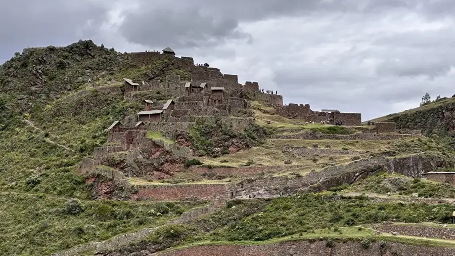
Notable places around
Route planner — Car & Motorhome
Where do you start? We build the route here, with stops and country notes along the way.
© OpenStreetMap contributors · OpenRouteService
Sights in the town Ausangate (4)
Sights nearby
Frequently asked questions
Is the hike to Ausangate difficult?
When is the best travel time?
Do you need camping equipment?
What is the weather like there?
Should you acclimatize beforehand?
Ausangate: where is it located?
Ausangate: what is there to see?
Ausangate: when is the best time to visit?
Ausangate: why is it worth visiting?

Nearby cities
History & landmarks
Nature
More places