Plizio Visual Lab
Værøy
ℹ️Practical info — Værøy
▾
🌤 Weather — 5 days
📍 Nearby
Sights nearby
💡 Tips
- The hike to Håen features the most iconic viewpoint, but the trail is steep; wear sturdy boots.
- Helicopter flights from Bodø are a unique way to arrive, but are heavily weather-dependent.
- Visit the abandoned village of Måstad by boat to see the historic home of the Puffin Dog.
- Bring a headlamp in winter, as there is zero light pollution outside the main settlement.
🍽 Food
Grab these as a practical hiking snack from the local grocery store.
Enjoy a high-quality local stockfish meal at the local guesthouse.
Stop by the bakery counter near the ferry dock for a warm treat before hiking.
🛍 Shopping · 🧘 Quiet spots
An essential purchase at the local shop before tackling the island's rugged trails.
Pick up scenic views at the island's small store.
A striking, remote-feeling beach on the island's southern side.
An oddly peaceful spot for a flat walk against a backdrop of dramatic mountains.
Water temperature…
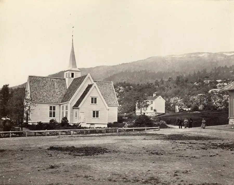
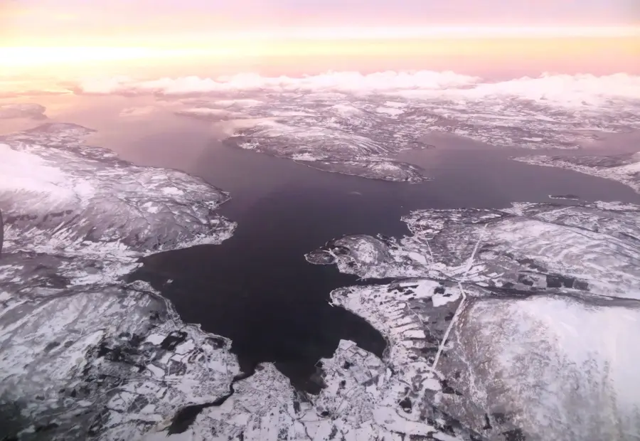
Værøy is the outermost inhabited island of the Lofoten archipelago, characterized by its fishing heritage and dramatic topography. The main settlement, Sørland, is the heart of the community where stockfish production remains a vital industry. Hikers often challenge themselves with the trail to Nordlandsnupen, providing a 360-degree view of the surrounding Arctic Ocean. The island's cliffs are home to one of Norway's largest bird colonies, featuring thousands of puffins and sea eagles. Despite its northern latitude, the Gulf Stream ensures relatively mild winters. Visitors can reach the island via a 3.5-hour ferry from Bodø or a scenic helicopter flight. The white sand beach at Nordlandshagen features a striking contrast to the dark mountain ridges.
- Location: Norway
- Top sights: Punn Sanden · Ørnhus · Nupen
- Nearby: Å (27 km)
- Population: ~640
Geography
Facts
- Outermost inhabited Lofoten island
- Main village is Sørland
- Massive puffin colonies
- Nordlandsnupen peak (450m)
- Gulf Stream microclimate
- 3.5-hour ferry from Bodø
- Scheduled helicopter service
- Traditional stockfish production
Explore nearby
Notable places around
Route planner — Car & Motorhome
Where do you start? We build the route here, with stops and country notes along the way.
© OpenStreetMap contributors · OpenRouteService
Sights in the town Værøy (8)
Frequently asked questions
What is the best hike on Værøy?
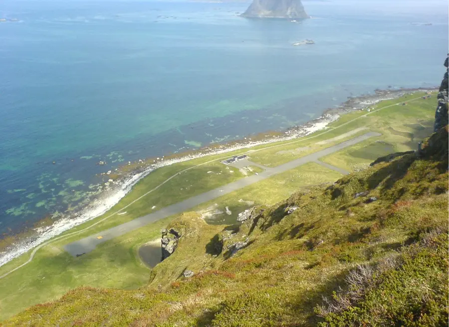
Is there an airport on Værøy?
What is the climate like on the island?
What is Måstad village?
Can you arrive by ferry?
Værøy: where is it located?
Værøy: what is there to see?
Værøy: why is it worth visiting?

Nearby cities