Plizio Visual Lab
Moskenesøy Mountains
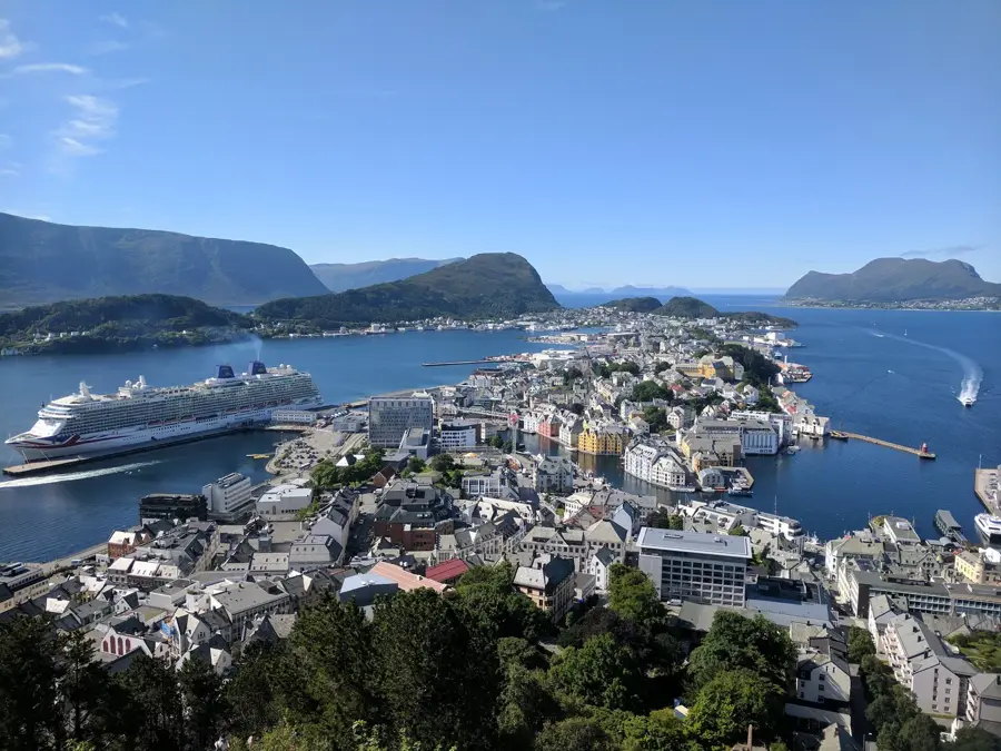
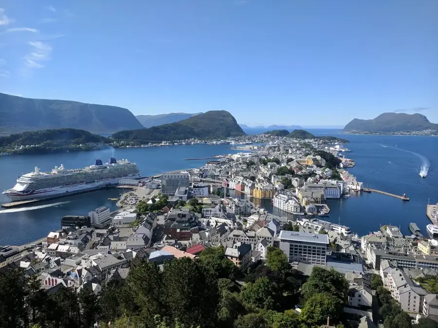
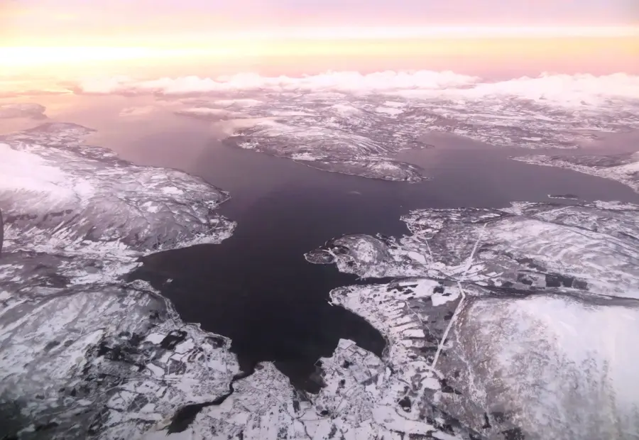
The Moskenesøy Mountains form the southwestern tip of the Lofoten archipelago in northern Norway and are among the most spectacular landscapes in the Arctic. The region is characterized by alpine granite and gneiss peaks rising steeply from the sea, reaching heights of over 1,000 meters. Tucked away between these mountains are deep fjords like Reinefjorden and photogenic fishing villages such as Reine and Å. A prominent geographical feature is the Moskenesstraumen, one of the world's strongest tidal currents, located between Moskenesøy and the island of Mosken. For centuries, the region has been a hub for cod fishing and the production of stockfish. Despite the extreme topography, the island is connected by bridges and tunnels to the rest of the archipelago. Hiking trails, such as the ascent to Reinebringen, offer world-famous panoramic views but require careful navigation through steep and rugged terrain.
- Location: Norway
- Top sights: Norsk Telemuseum Sørvågen · Tindstinden · Tinddalstinden
- Nearby: Reine (5 km)
Best time to visit & climate
The most pleasant time to visit is Jun–Aug.
| Jan | Feb | Mar | Apr | May | Jun | Jul | Aug | Sep | Oct | Nov | Dec | |
|---|---|---|---|---|---|---|---|---|---|---|---|---|
| Avg °C | 2 | 2 | 2 | 4 | 6 | 9 | 12 | 12 | 10 | 7 | 5 | 3 |
| Rain mm | 107 | 92 | 95 | 70 | 56 | 62 | 74 | 75 | 112 | 111 | 119 | 126 |
📋 Practical info
Geography
Facts
- Hermannsdalstinden is the island's highest point at 1,029 m.
- The Moskenesstraumen inspired Edgar Allan Poe and Jules Verne.
- Reine is often cited as the most beautiful village in Norway.
- Geologically, the mountains consist of rock over 2 billion years old.
- Central hub for the winter Lofotfiske (cod fishing).
- The hike to Reinebringen features 1,560 stone steps.
Explore nearby
Notable places around
Route planner — Car & Motorhome
Where do you start? We build the route here, with stops and country notes along the way.
© OpenStreetMap contributors · OpenRouteService
Sights in the town Moskenesøy Mountains (9)
Oddan naturreservat
Nature reserve on Moskenesøya island, protecting coastal vegetation and birdlife.
Sørvågen
Viewpoint in the village of Sørvågen, overlooking the harbor and surrounding mountains.
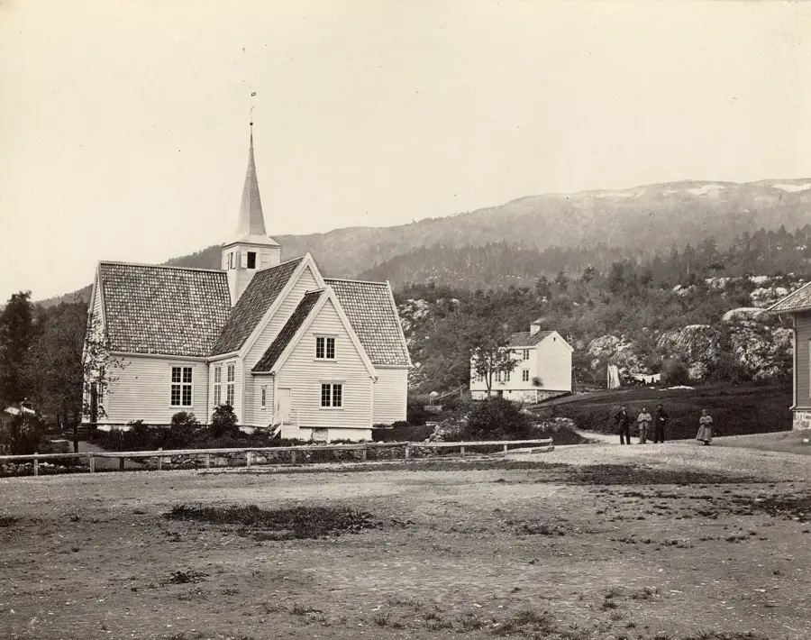
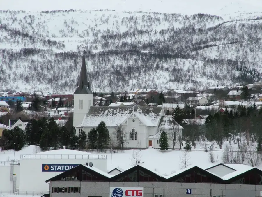
Moskenes kirke
Wooden church in Moskenes built in 1819, with a characteristic onion dome tower.
Lofoten Stockfish Museum🏛 museum
Museum about the history of stockfish, showcasing traditional drying methods.
Gylttinden
Hill in Moskenes municipality, Nordland, a popular hiking destination.
Norsk Fiskeværsmuseum🏛 museum
Museum in Å, depicting life in a traditional Lofoten fishing village.
Sights nearby
Frequently asked questions
Where are the Moskenesøy mountains located?
What is the most famous hike?
Are the mountains difficult to climb?
How do you reach Moskenesøy island?
Are there fishing villages there?
Moskenesøy Mountains: where is it located?
Moskenesøy Mountains: what is there to see?
Moskenesøy Mountains: when is the best time to visit?
Moskenesøy Mountains: why is it worth visiting?

Nearby cities