Plizio Visual Lab
Reisa National Park
Weather…
Water temperature…
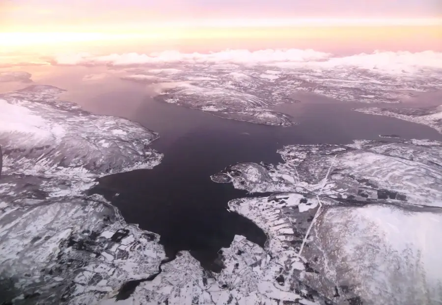
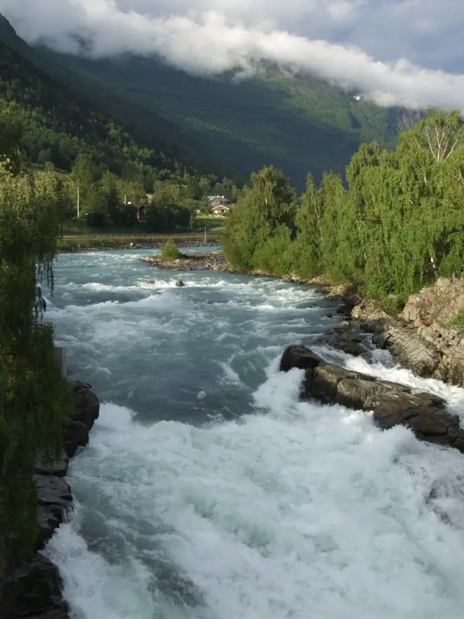
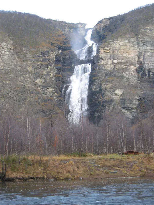
Reisa National Park is located in the far north of Norway and is characterized by the mighty Reisa River, which has carved a deep valley into the mountain plateau over millennia. Founded in 1986, the park covers an area of 803 square kilometers and features one of the most spectacular canyon landscapes in the Arctic. An absolute landmark is Mollisfossen, a waterfall that plunges loudly into the valley with a free fall of 269 meters. The vegetation is surprisingly lush for these latitudes and provides a habitat for a variety of animal species, including moose, wolverines, and rare birds of prey such as the golden eagle. The history of the park is closely linked to the culture of the Sámi and Kven people, who have used the area for hunting and reindeer herding for generations. Visitors often reach the heart of the park by traditional riverboat, which allows for an authentic wilderness experience. The untouched nature and silence of the North Scandinavian mountain world make Reisa a secret tip for adventurers seeking seclusion and raw beauty.
- Location: Norway
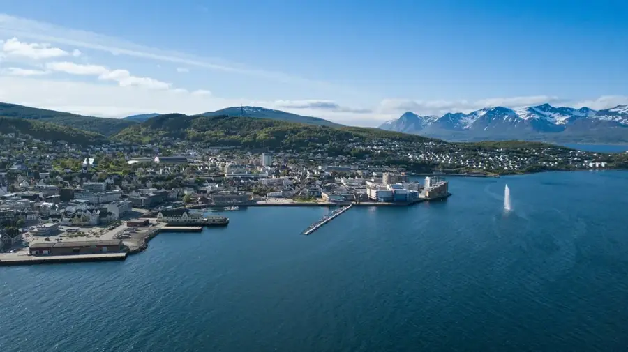
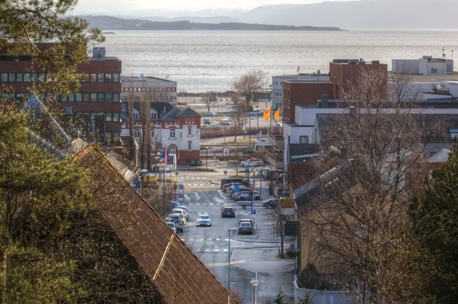
- Nearby: Sjursnes - Várpenjárga (79 km)
📋 Practical info
Geography
Facts
- National park was officially founded in 1986
- Home to the Mollisfossen waterfall (269 m fall height)
- Area covers a total of 803 square kilometers
- Known for its deep canyons and gorges
- Important habitat for the wolverine and the golden eagle
- Access to the park is often by traditional riverboats
Explore nearby
Notable places around
Route planner — Car & Motorhome
Where do you start? We build the route here, with stops and country notes along the way.
© OpenStreetMap contributors · OpenRouteService
Sights nearby
Frequently asked questions
How do you reach Reisa National Park?
What is the main attraction?
Is the park suitable for beginners?
Is accommodation available?
When is the best time to go?
Reisa National Park: where is it located?
Reisa National Park: why is it worth visiting?

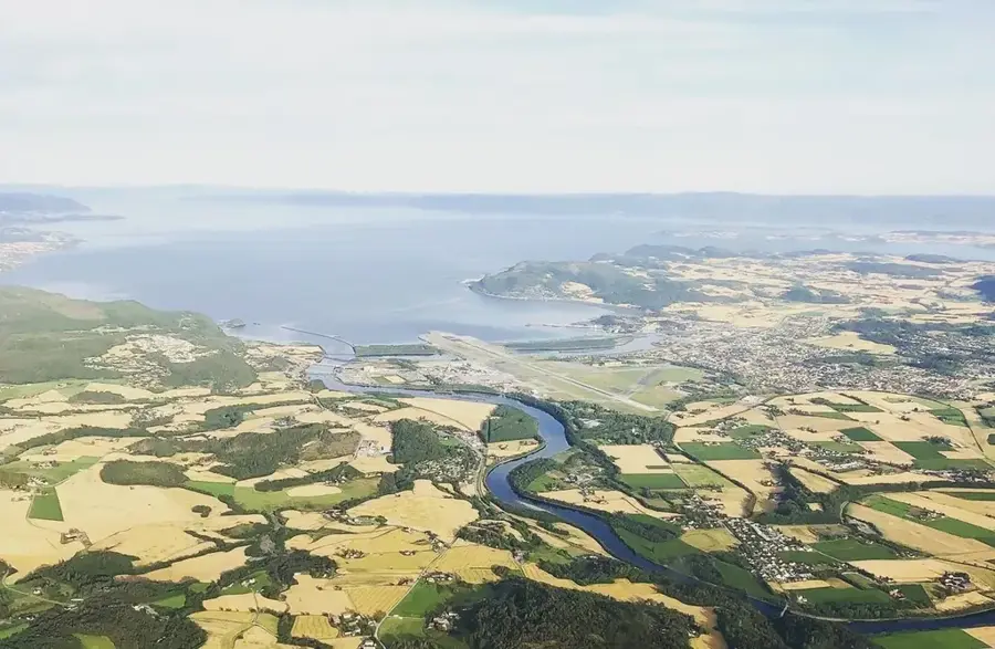
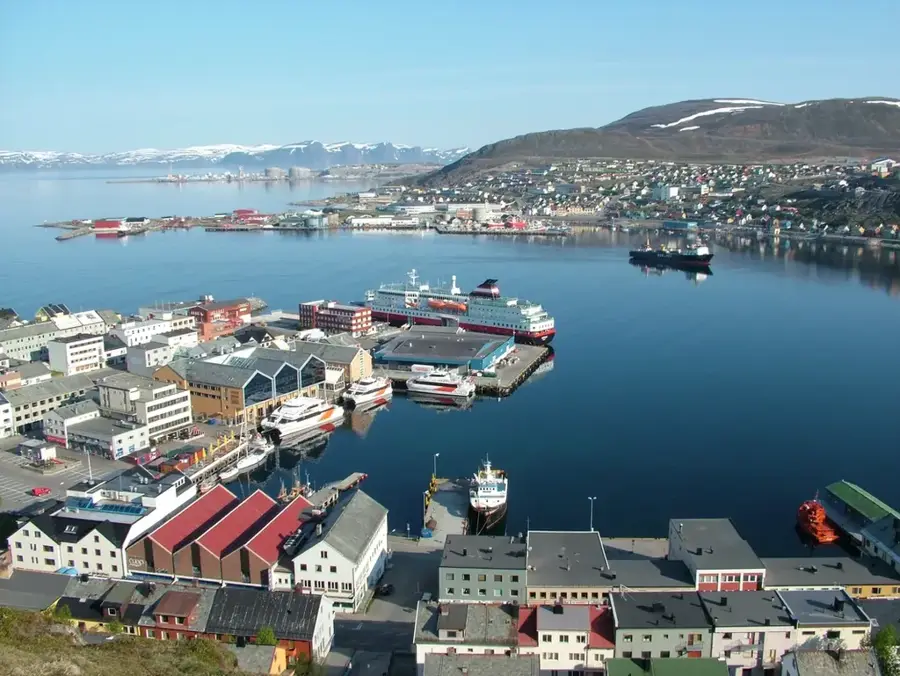
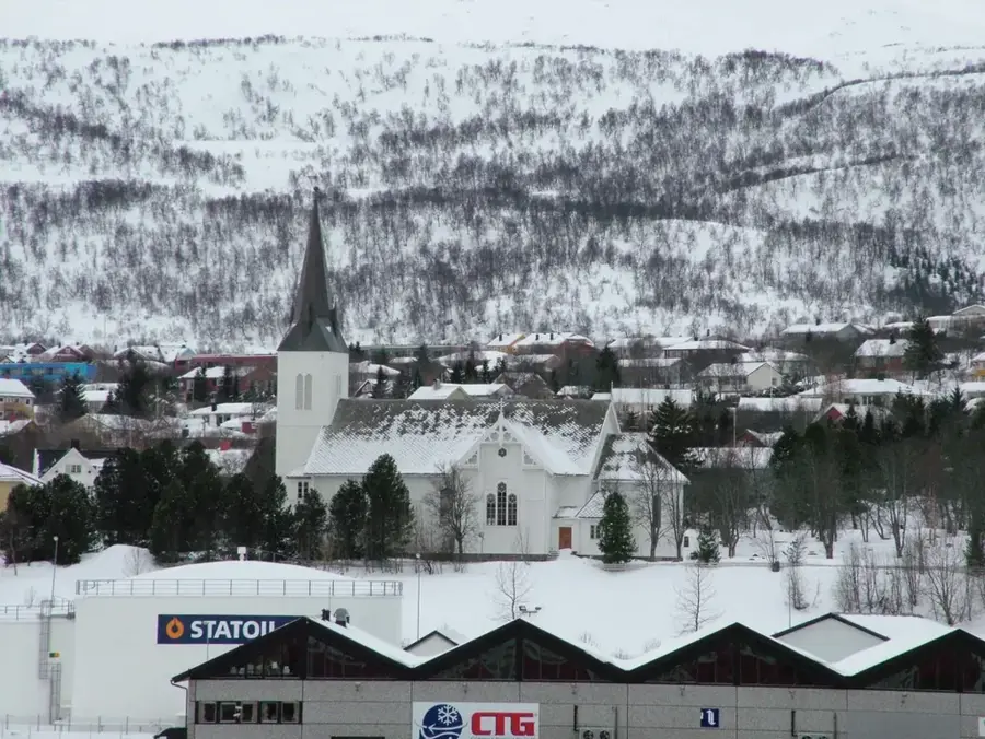
Nearby cities