Plizio Visual Lab
Jotunheimen National Park
Weather…
Water temperature…
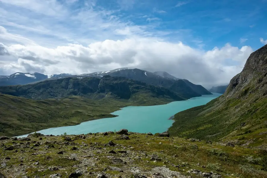
Jotunheimen National Park, established in 1980, is the heart of the Norwegian high mountains and home to the highest peaks in Scandinavia. Its name translates to 'Home of the Giants,' referring to the more than 250 peaks that rise above 2,000 metres. Spanning 1,151 square kilometres, the park features a dramatic landscape of deep blue glacial lakes, jagged ridges, and massive ice fields. Galdhøpiggen, the highest mountain in Norway at 2,469 metres, is the park's most iconic landmark and a premier destination for trekkers. Geologically, the area is composed of exceptionally hard gabbro rock, which has resisted erosion to form the characteristic sharp mountain profiles. Despite the extreme elevation, the flora is remarkably diverse, featuring specialized species like the glacier crowfoot that blooms at record altitudes. Historically, Jotunheimen is deeply embedded in Norwegian national identity and literature, famously inspiring Henrik Ibsen's 'Peer Gynt.' Today, it remains a world-class destination for high-altitude adventure and a critical sanctuary for alpine wildlife like the golden eagle.
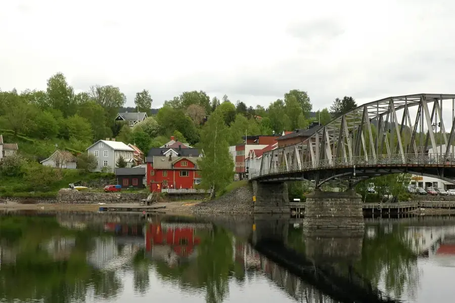
- Location: Norway
- Top sights: Skarddalseggje · Visbreatinden · Skarddalstinden
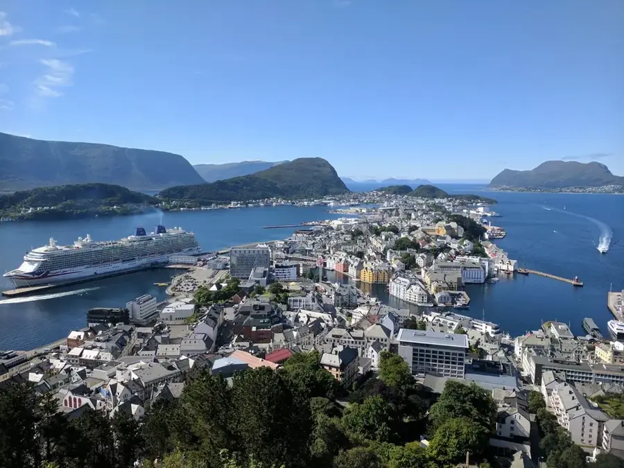
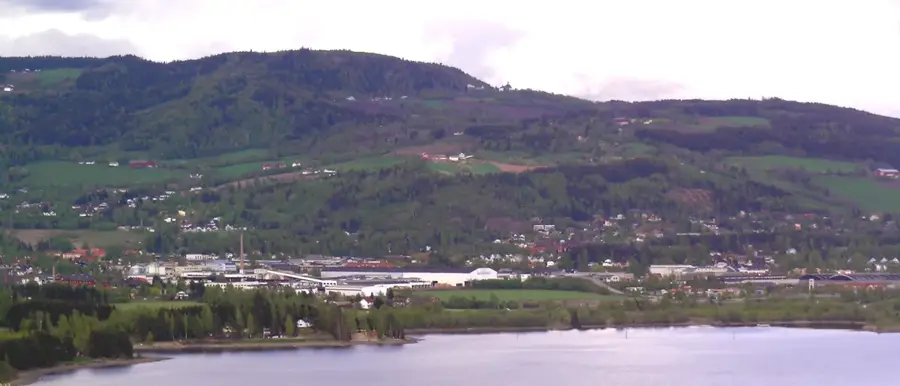
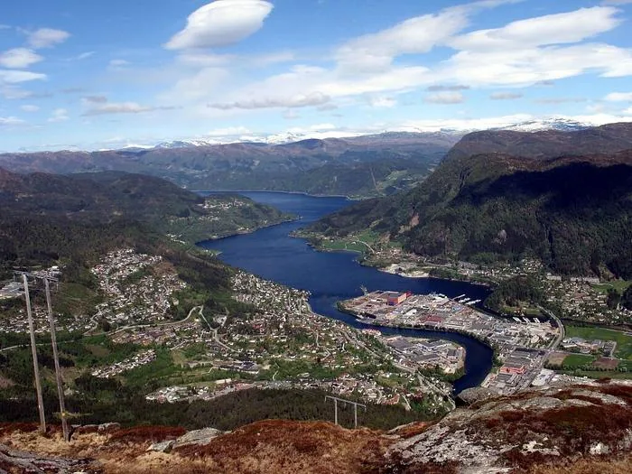
- Nearby: Jotunheimen (15 km)
Best time to visit & climate
The most pleasant time to visit is Jun–Aug.
| Jan | Feb | Mar | Apr | May | Jun | Jul | Aug | Sep | Oct | Nov | Dec | |
|---|---|---|---|---|---|---|---|---|---|---|---|---|
| Avg °C | -11 | -10 | -8 | -3 | 2 | 7 | 10 | 9 | 5 | -2 | -7 | -10 |
| Rain mm | 73 | 51 | 53 | 59 | 91 | 116 | 142 | 139 | 95 | 86 | 78 | 72 |
📋 Practical info
Geography
Facts
- Established in 1980
- Total area: 1,151 km²
- Highest mountain: Galdhøpiggen (2,469 m)
- Over 250 peaks above 2,000 metres
- Home to the glacier crowfoot flower
- Famous hiking trail: Besseggen Ridge
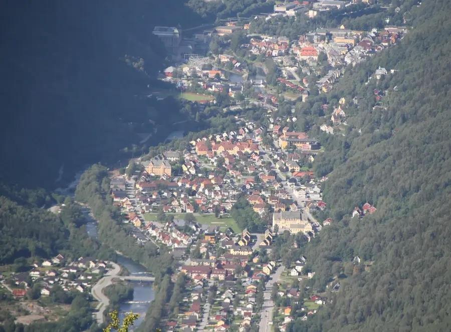
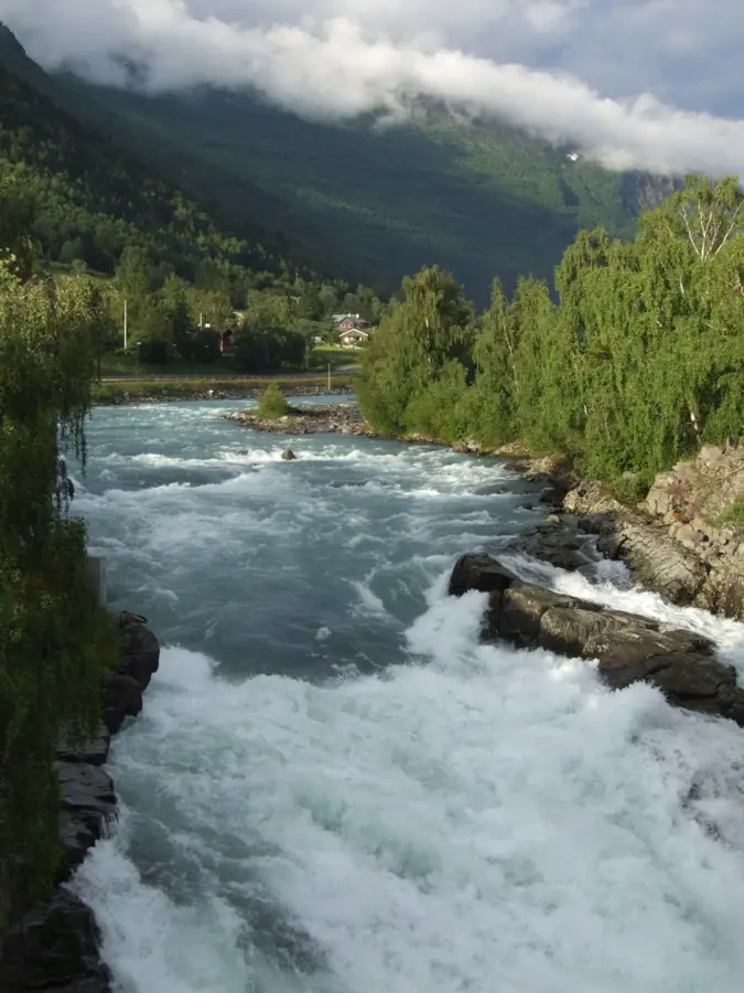
Explore nearby
Notable places around
Route planner — Car & Motorhome
Where do you start? We build the route here, with stops and country notes along the way.
© OpenStreetMap contributors · OpenRouteService
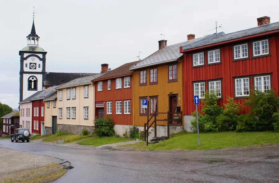
Sights in the town Jotunheimen National Park (3)
Sights nearby
Frequently asked questions
Which is the highest mountain in Jotunheimen?
Is the hike over the Besseggen ridge difficult?
Are there glaciers in Jotunheimen?
Can you drive through the park?
When do the mountain lodges open?
Jotunheimen National Park: where is it located?
Jotunheimen National Park: what is there to see?
Jotunheimen National Park: when is the best time to visit?
Jotunheimen National Park: why is it worth visiting?

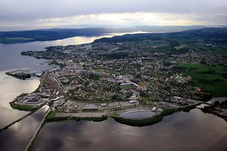
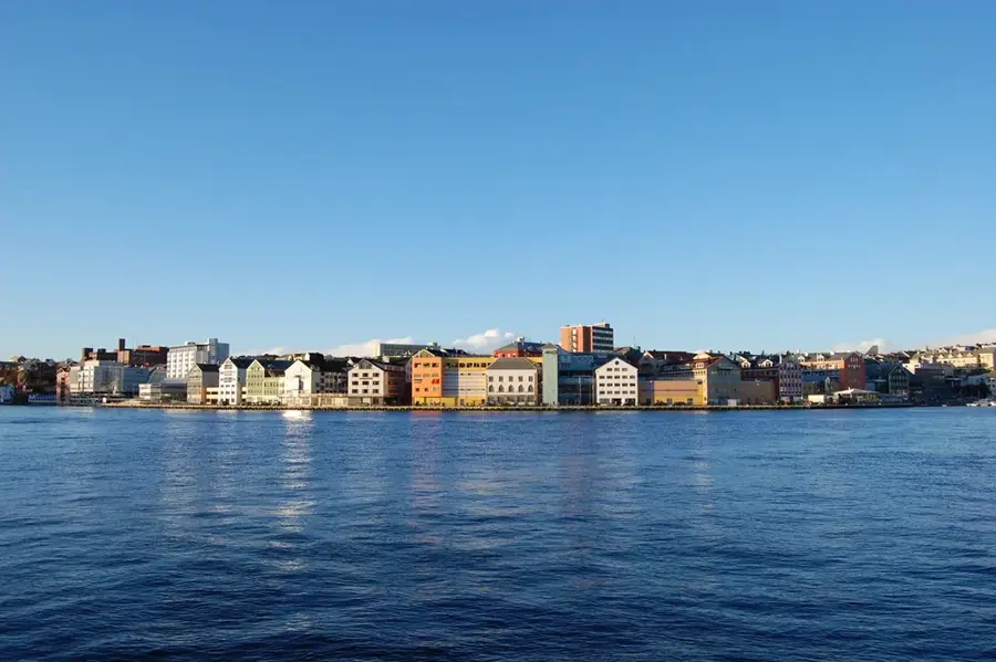
Nearby cities


History & landmarks