Plizio Visual Lab
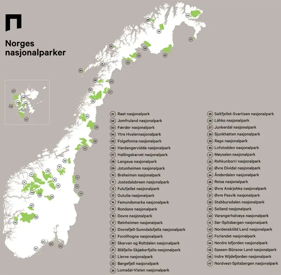
Børgefjell National Park
Weather…
Water temperature…
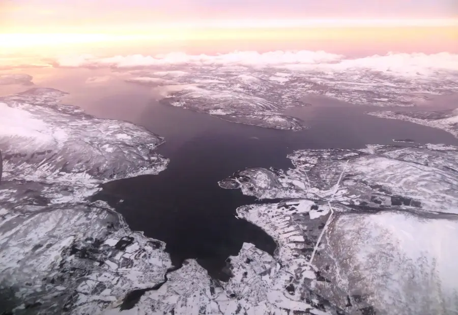
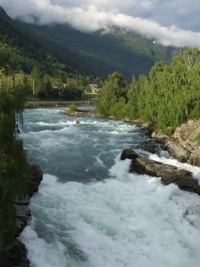
Børgefjell National Park, established in 1963, covers a vast area of 1,447 square kilometers on the boundary between Trøndelag and Nordland. The landscape is characterized by high alpine mountain ranges, deep valleys, and expansive plateaus, with Kvigtinden standing as the highest peak at 1,699 meters. Geologically, the area is dominated by ancient rocks such as granite and gneiss, contributing to its rugged and stark topography. For centuries, the region has been a vital site for Sami reindeer husbandry, an activity that continues to be a central part of the park's cultural and economic identity. It is one of the few remaining locations in Norway where the endangered Arctic fox still breeds successfully in its natural habitat. Visitors encounter a true wilderness here, as there are no marked trails or serviced cabins, emphasizing the park's status as an untouched natural preserve.
- Location: Norway
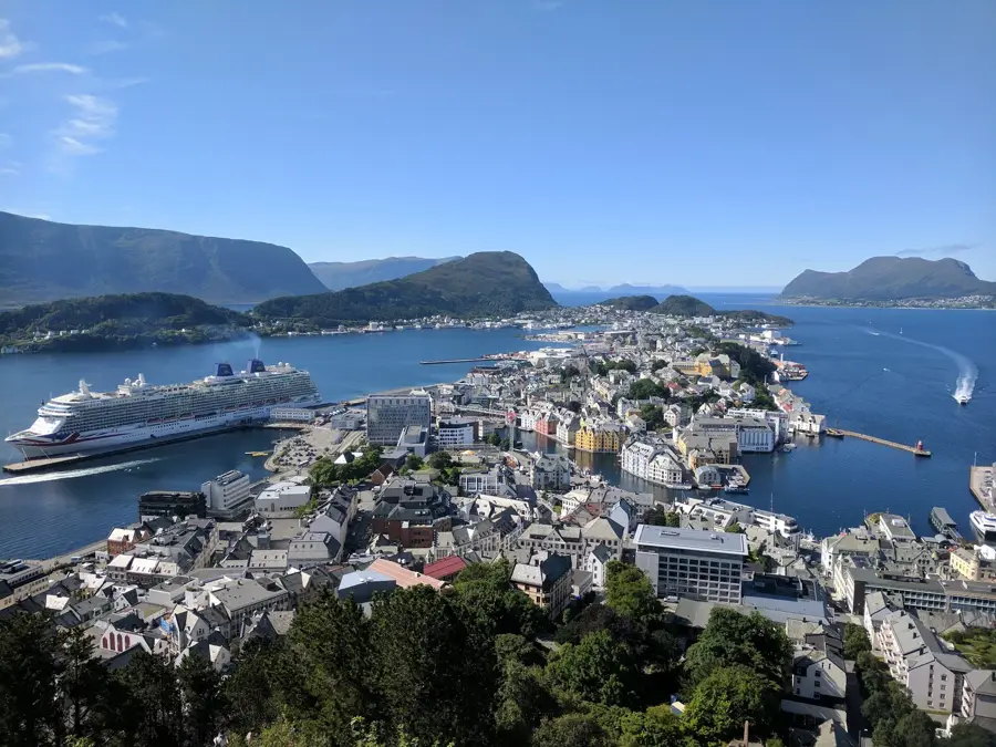
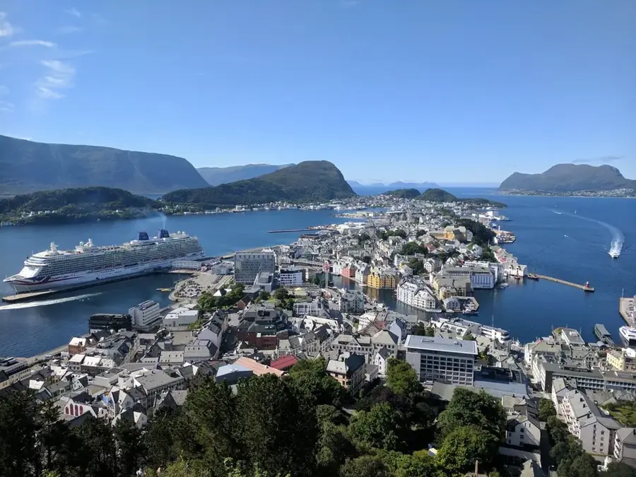
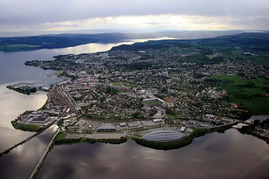
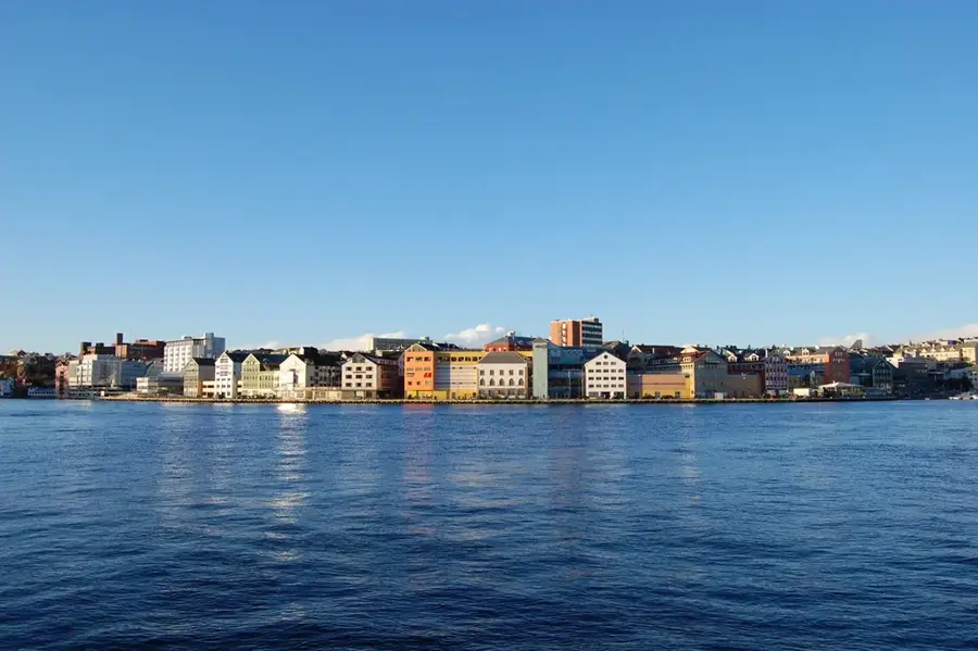
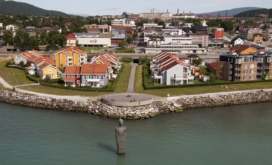
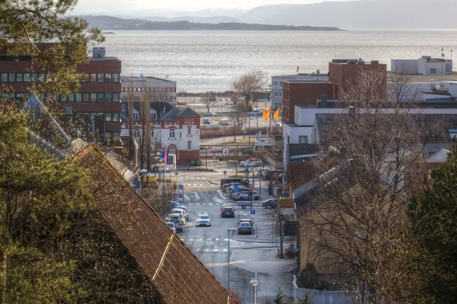
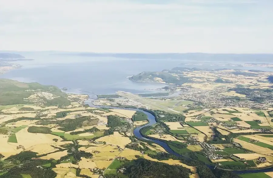
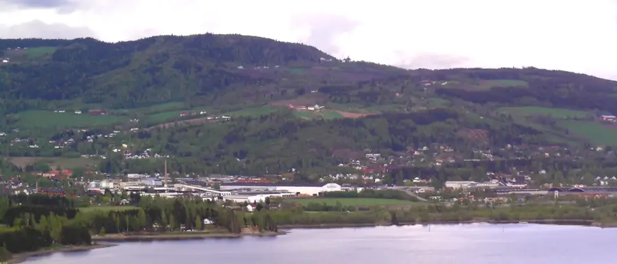
- Nearby: Mosjøen (77 km)
Best time to visit & climate
The most pleasant time to visit is Jun–Aug.
| Jan | Feb | Mar | Apr | May | Jun | Jul | Aug | Sep | Oct | Nov | Dec | |
|---|---|---|---|---|---|---|---|---|---|---|---|---|
| Avg °C | -9 | -9 | -7 | -2 | 2 | 8 | 12 | 10 | 6 | 0 | -5 | -7 |
| Rain mm | 135 | 114 | 129 | 106 | 103 | 133 | 153 | 147 | 165 | 126 | 129 | 150 |
📋 Practical info
Geography
Facts
- The national park was established in 1963.
- The total area spans 1,447 square kilometers.
- The highest point is Kvigtinden at 1,699 meters.
- It is a critical habitat for the endangered Arctic fox.
- It is a center for Southern Sami reindeer husbandry.
- There are no marked hiking trails within the park.
Explore nearby
Notable places around
Route planner — Car & Motorhome
Where do you start? We build the route here, with stops and country notes along the way.
© OpenStreetMap contributors · OpenRouteService
Sights nearby
Frequently asked questions
Are there marked trails in the park?
Is the park for beginners?
What is the best access route?
Is fishing allowed?
When is there snow?
Børgefjell National Park: where is it located?
Børgefjell National Park: when is the best time to visit?
Børgefjell National Park: why is it worth visiting?

Nearby cities