Plizio Visual Lab
Marsfjället
Weather…
Water temperature…
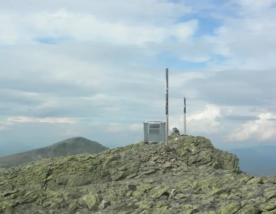
Marsfjället is the highest peak in the southern part of Swedish Lapland, reaching an elevation of 1,589 meters in Vilhelmina Municipality. It is part of the Marsfjället Nature Reserve, which spans over 86,000 hectares, making it one of the largest protected areas in Västerbotten County outside the national parks. The landscape is characterized by dramatic mountain massifs, expansive plateaus, and deep old-growth forests that provide a sanctuary for endangered species. Geologically, the mountain is known for its mica schist formations, which are typical of the Scandinavian Mountains. For hikers, the area is particularly appealing; although the famous Kungsleden trail is far away, regional trails like the Lapplandsleden offer access to the remote and pristine nature of this region. The flora includes rare species such as the glacier crowfoot, which thrives in the higher alpine elevations.
- Location: Sweden
- Nearby: Tärnaby (74 km)
Best time to visit & climate
The most pleasant time to visit is Jun–Aug.
| Jan | Feb | Mar | Apr | May | Jun | Jul | Aug | Sep | Oct | Nov | Dec | |
|---|---|---|---|---|---|---|---|---|---|---|---|---|
| Avg °C | -10 | -10 | -7 | -2 | 4 | 9 | 13 | 11 | 6 | 0 | -6 | -8 |
| Rain mm | 67 | 50 | 55 | 58 | 89 | 107 | 142 | 136 | 104 | 81 | 70 | 70 |
📋 Practical info
Geography
Facts
- Highest peak reaches 1,589 meters
- Nature reserve covers 86,000 hectares
- Located within Vilhelmina Municipality
- Consists of geological mica schist
- Part of the Scandinavian Mountain range
- Home to the rare glacier crowfoot
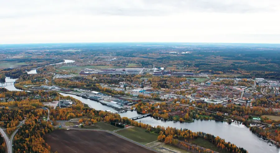
Explore nearby
Notable places around
Route planner — Car & Motorhome
Where do you start? We build the route here, with stops and country notes along the way.
© OpenStreetMap contributors · OpenRouteService
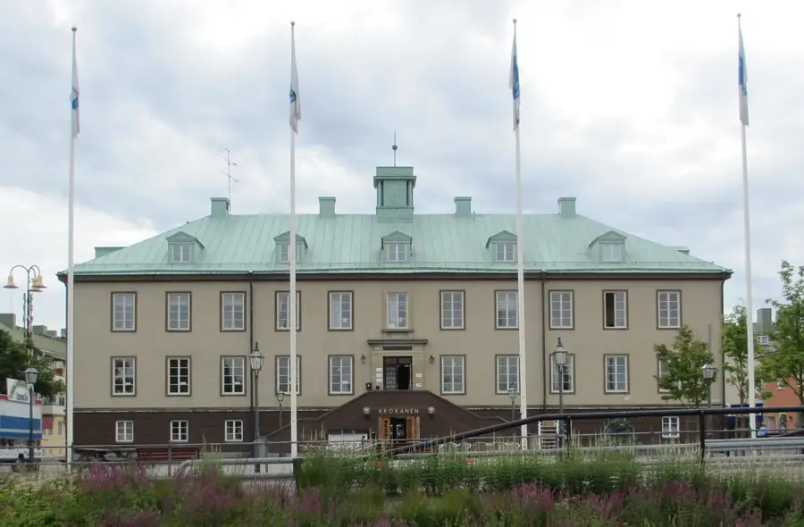
Sights in the town Marsfjället (1)
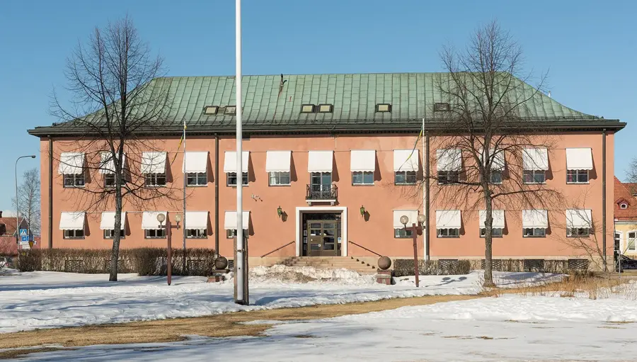
Sights nearby
Frequently asked questions
Where does the hike to Marsfjället start?
How difficult is the ascent?
Are there rest huts along the way?
What is the special feature of Marsfjället?
Do you need a permit to camp?
Marsfjället: where is it located?
Marsfjället: when is the best time to visit?
Marsfjället: why is it worth visiting?

Nearby cities