Plizio Visual Lab
Aurlandsdalen
Weather…
Water temperature…
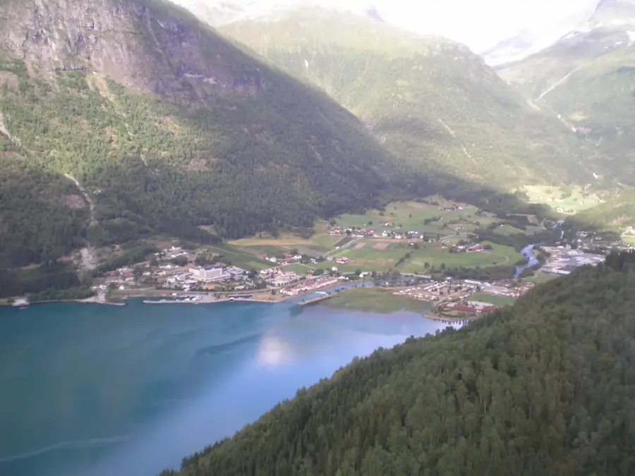
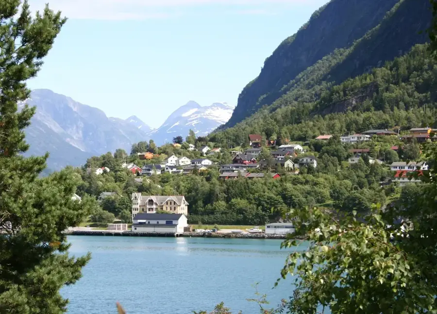
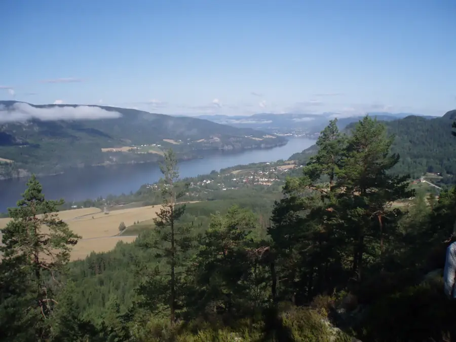
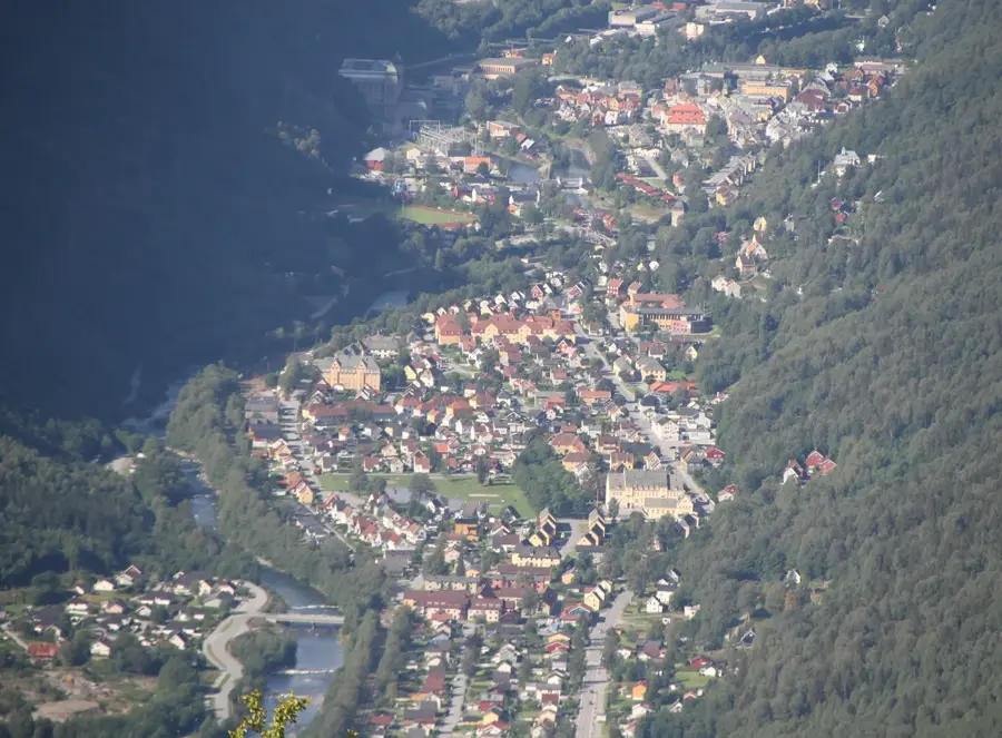
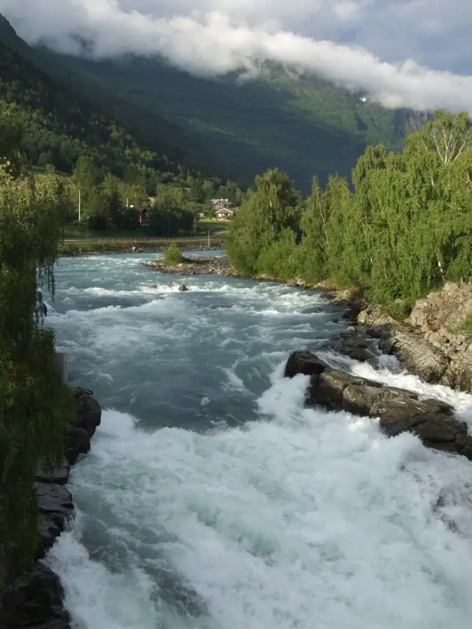
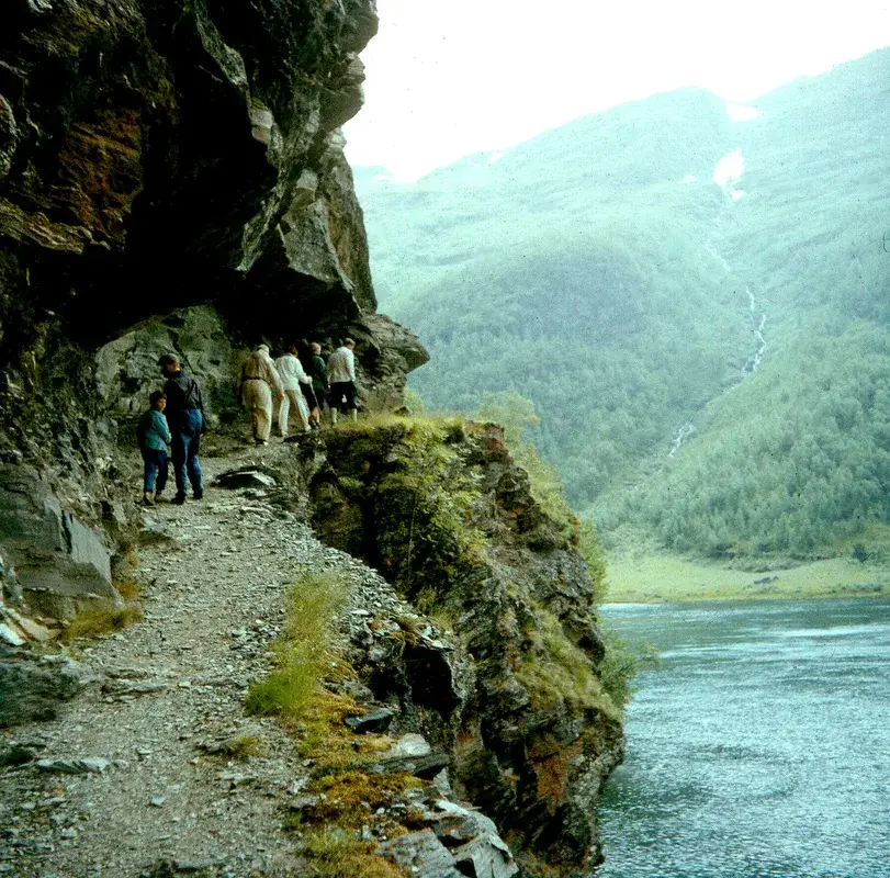
Aurlandsdalen Valley, often called the 'Grand Canyon of Norway', is a deeply incised valley stretching from the high Hardangervidda plateau down to the Aurlandsfjord. Geologically, the valley was formed by intense erosion from rivers and glaciers carving through diverse rock layers, ranging from granite to phyllite. This geological variety results in an exceptionally rich flora, with over 500 recorded plant species. Historically, the valley served as a major trade route between Eastern and Western Norway, where livestock and goods were driven across the rugged mountains. Abandoned mountain farms such as Sinjarheim bear witness to the challenging life of early settlers and the agricultural use of steep slopes. In modern times, the region was reshaped by large-scale hydroelectric projects, influencing the landscape with dams and tunnels. Today, Aurlandsdalen is one of the country's most iconic hiking destinations, offering dramatic vistas of waterfalls and sheer cliff faces.
- Location: Norway
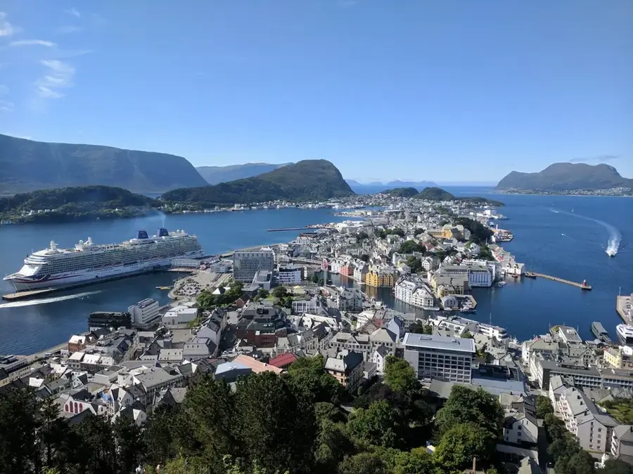
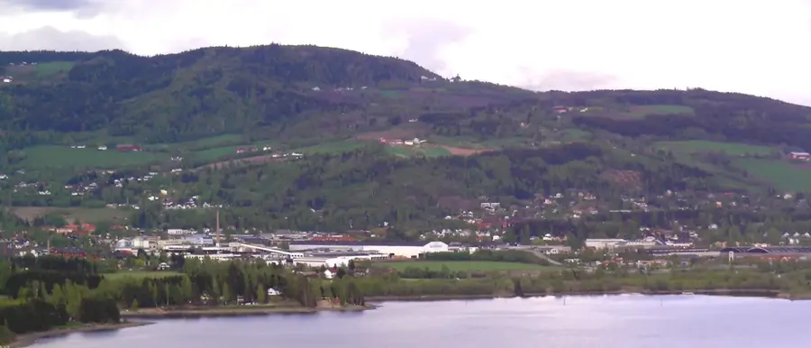
- Nearby: Aurland (12 km)
Best time to visit & climate
The most pleasant time to visit is Jun–Aug.
| Jan | Feb | Mar | Apr | May | Jun | Jul | Aug | Sep | Oct | Nov | Dec | |
|---|---|---|---|---|---|---|---|---|---|---|---|---|
| Avg °C | -9 | -9 | -7 | -3 | 1 | 6 | 10 | 9 | 5 | -1 | -6 | -8 |
| Rain mm | 174 | 124 | 127 | 106 | 116 | 138 | 169 | 173 | 175 | 165 | 169 | 182 |
📋 Practical info
Geography
Facts
- The classic hiking route through the valley is approximately 20 kilometers long.
- The valley is home to more than 500 different plant species.
- The abandoned farm Sinjarheim was in use as early as 1000 AD.
- The Aurland I power station is one of the most powerful in Norway.
- The elevation drop during the valley hike is approximately 800 meters.
- Østerbø was once a vital resting place for travelers crossing the mountains.
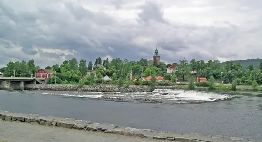
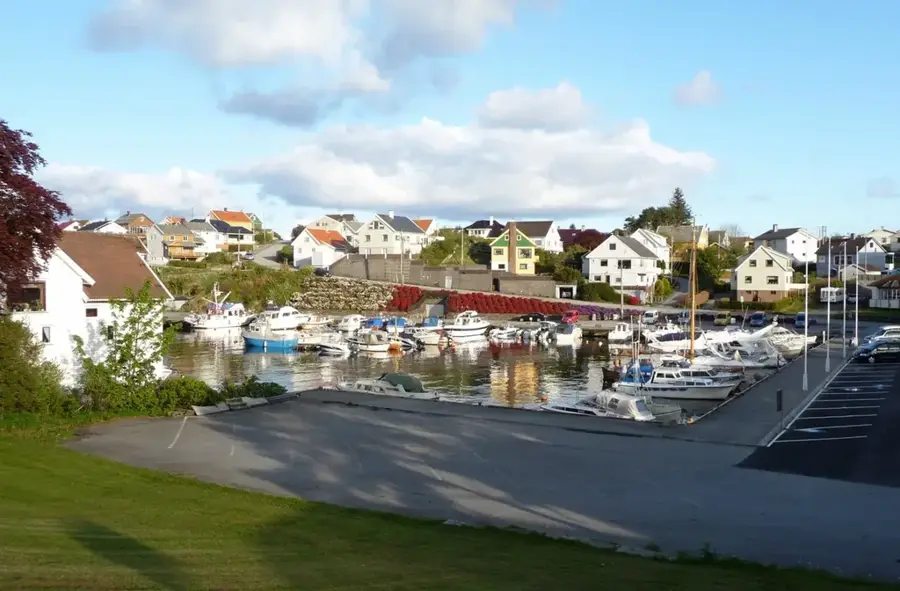
Explore nearby
Notable places around
Route planner — Car & Motorhome
Where do you start? We build the route here, with stops and country notes along the way.
© OpenStreetMap contributors · OpenRouteService
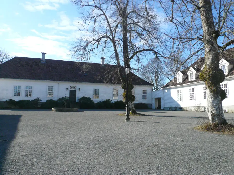
Sights in the town Aurlandsdalen (1)
Sights nearby
Frequently asked questions
How long does the hike through Aurlandsdalen take?
When is the best time to visit the valley?
Is there bus transport for hikers?
Is the hike suitable for children?
What are the highlights along the route?
Aurlandsdalen: where is it located?
Aurlandsdalen: when is the best time to visit?
Aurlandsdalen: why is it worth visiting?

Nearby cities