Plizio Visual Lab
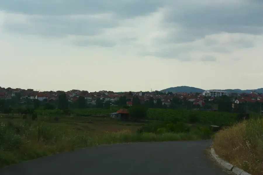
Plačkovica Mountain near Zrnovci
Weather…
Water temperature…
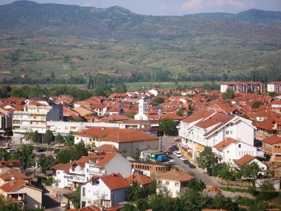
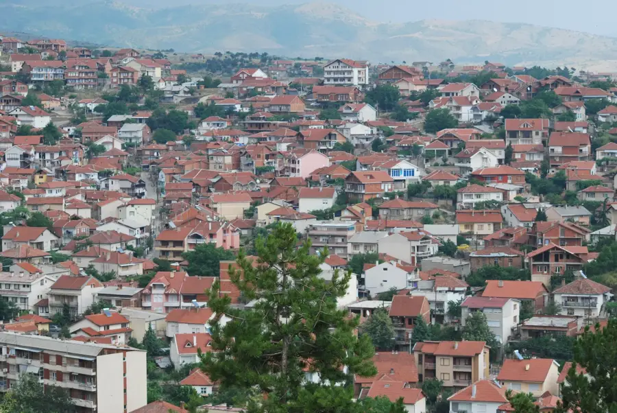
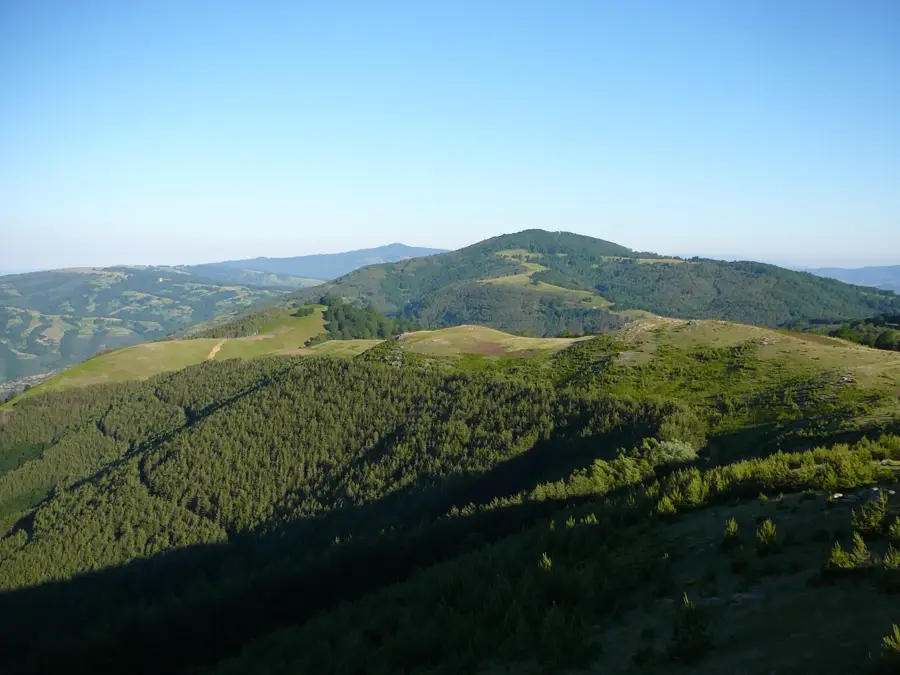
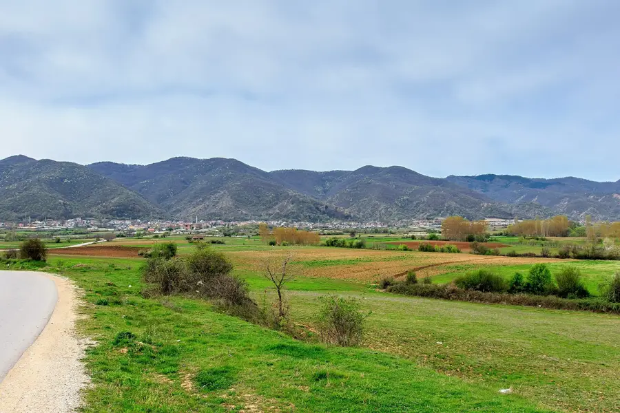
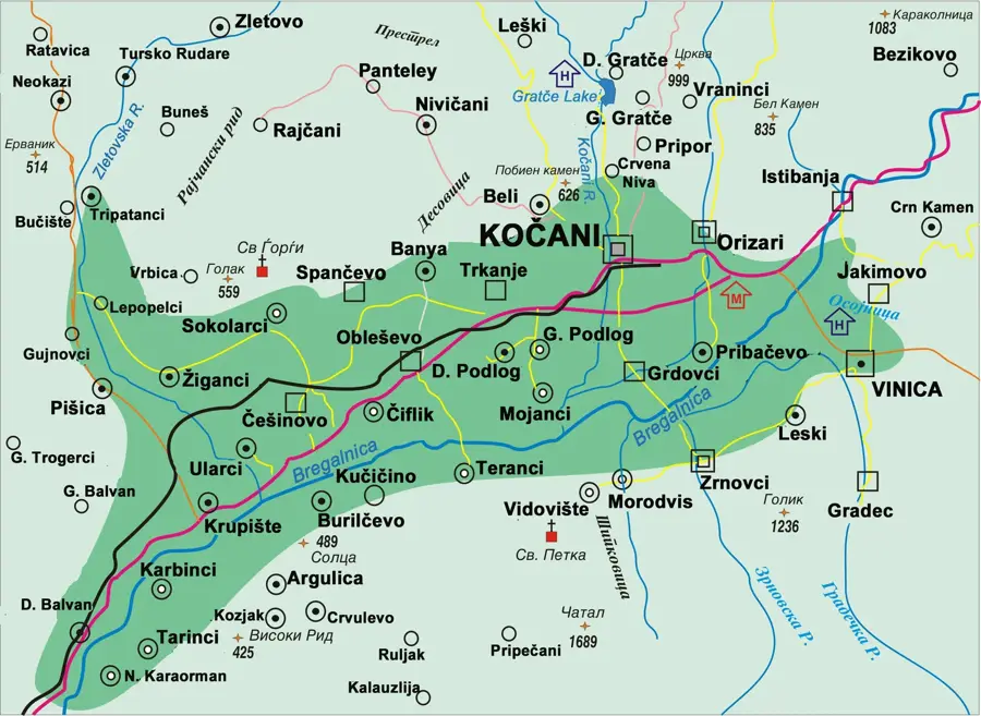
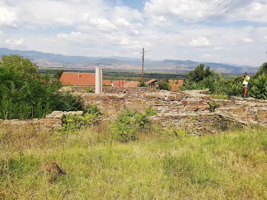
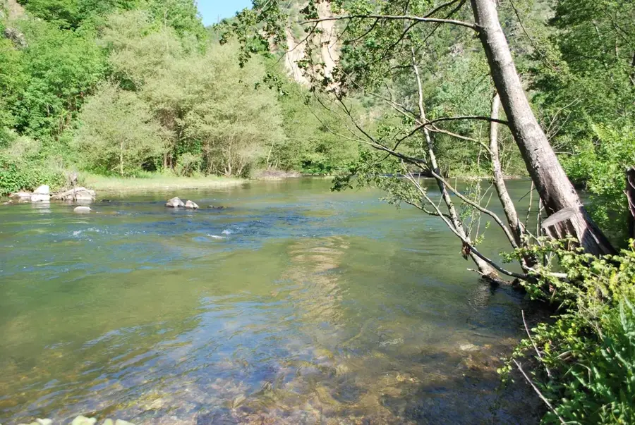
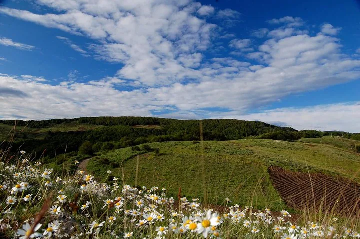
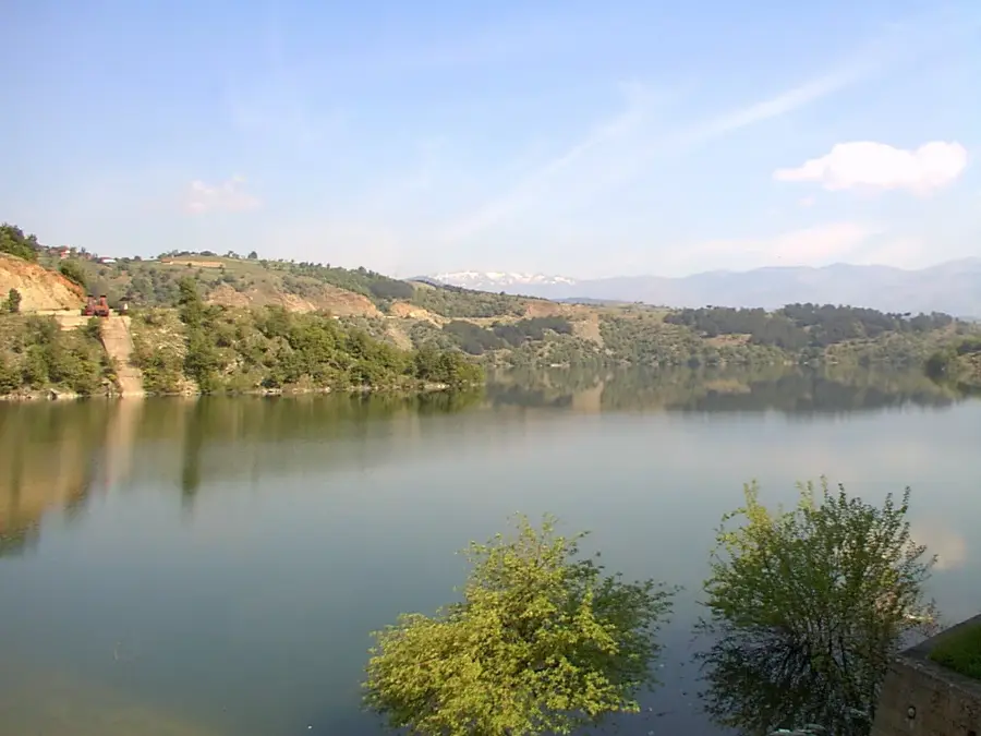
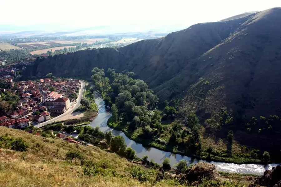
The Plačkovica mountain range extends across eastern North Macedonia, reaching its highest point at Lisec peak at 1,754 meters. Near the municipality of Zrnovci, the massif has an impressive backdrop of dense beech and oak forests and deep river valleys. The region is known for its geological diversity, particularly the numerous marble caves such as Curan and Vrtule, which are considered significant by speleologists. The slopes near Zrnovci are characterized by steep paths and crystal-clear mountain streams that feed the Zrnovska River. The mountains have a temperate continental mountain climate, making them a popular destination for hikers and nature lovers seeking tranquility away from major tourist centers. Historically, Plačkovica was a refuge for freedom fighters and provided strategic advantages across various eras. The flora includes rare mountain plants, and brown bears and wolves inhabit the more remote areas. The untouched nature around Zrnovci makes this part of the mountains an important ecological corridor in the region.
- Location: North Macedonia
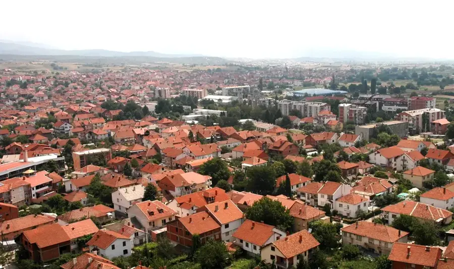
- Nearby: Vinica (10 km)
Best time to visit & climate
The most pleasant time to visit is Jun–Aug.
| Jan | Feb | Mar | Apr | May | Jun | Jul | Aug | Sep | Oct | Nov | Dec | |
|---|---|---|---|---|---|---|---|---|---|---|---|---|
| Avg °C | -2 | 0 | 4 | 9 | 14 | 18 | 22 | 22 | 17 | 11 | 5 | 0 |
| Rain mm | 48 | 41 | 54 | 58 | 69 | 73 | 48 | 47 | 49 | 58 | 49 | 53 |
📋 Practical info
Geography
Facts
- The highest peak of the Plačkovica massif is Lisec at 1,754 meters.
- The mountain range contains several deep marble caves, including the Curan cave.
- The forests are predominantly composed of beech, oak, and pine trees.
- The massif separates the valleys of Strumica and Kočani from each other.
- Marked hiking trails lead from Zrnovci directly into the high-altitude areas.
- The mountains are home to a population of wild boars, deer, and birds of prey.
Explore nearby
Notable places around
Route planner — Car & Motorhome
Where do you start? We build the route here, with stops and country notes along the way.
© OpenStreetMap contributors · OpenRouteService
Sights nearby
Frequently asked questions
What activities does Mount Plačkovica offer?
How high is the highest peak?
Are there mountain huts on Plačkovica?
When is the best time for a hike?
Is the mountain easily accessible from Zrnovci?
Plačkovica Mountain near Zrnovci: where is it located?
Plačkovica Mountain near Zrnovci: when is the best time to visit?
Plačkovica Mountain near Zrnovci: why is it worth visiting?

Nearby cities
History & landmarks
Nature

More places