Plizio Visual Lab
Tanout
ℹ️Practical info — Tanout
▾
🌤 Weather — 5 days
📍 Nearby
Sights nearby
💡 Tips
- Tanout is a key stop on the route between Zinder and Agadez; plan your rest breaks accordingly.
- The camel market is a fascinating event that takes place on specific days of the week.
- Avoid heavy physical activity during the extreme heat of the midday sun.
- Water is a precious resource here; please use it sparingly and respect local supply.
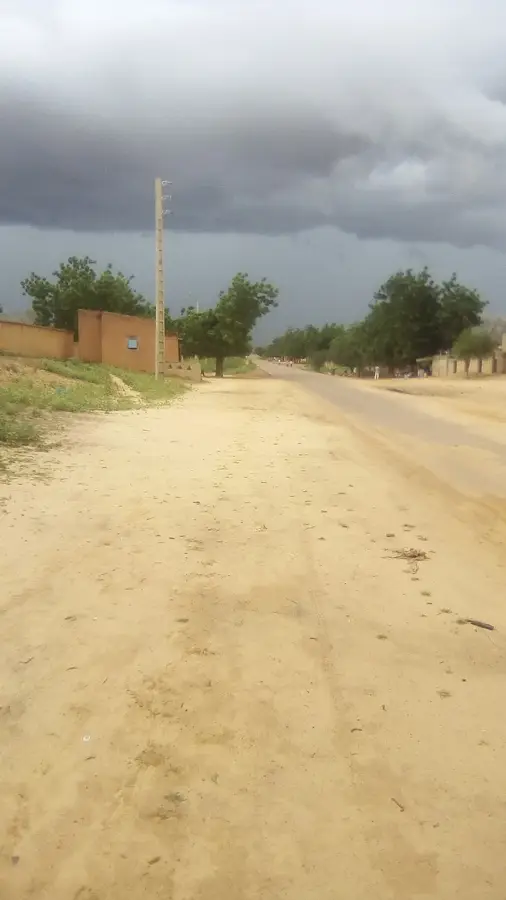
- Prepare for dusty winds (Harmattan) that often blow in from the nearby Sahara.
🍽 Food
Traditionally prepared over an open fire, it is a highlight of the local desert cuisine.
Strong, sweet mint tea prepared in a ceremonial way, served in three rounds.
Dried dates that are durable and a favorite snack for those traveling through.
🛍 Shopping · 🧘 Quiet spots
Handcrafted leather pouches, often decorated with traditional fringes and patterns.
Look for unique spice blends used for seasoning grilled meats at the market stalls.
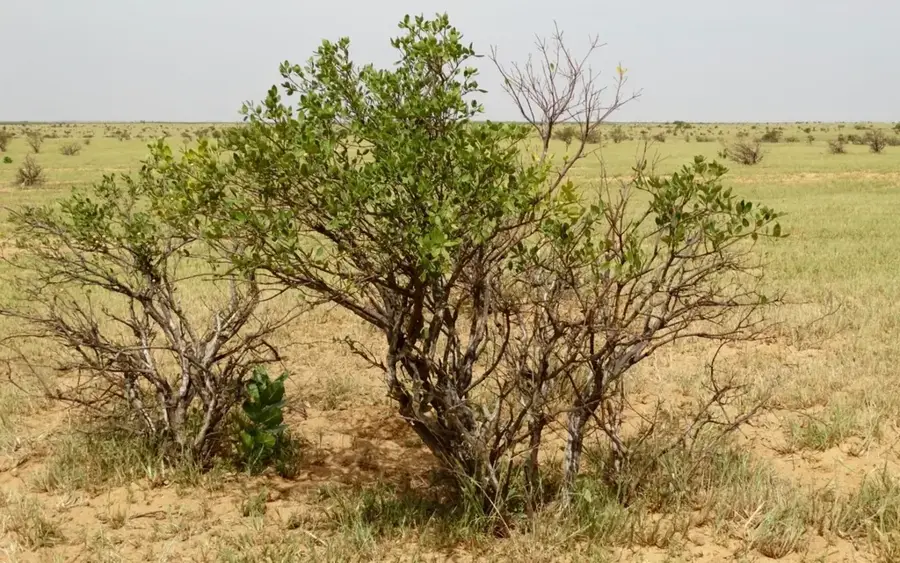
The edge of town gives spectacular views of the sunset over the Sahara sands.
The historic wells outside the center are often quiet gathering spots for local herders.
Water temperature…
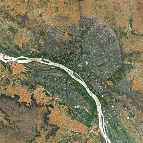
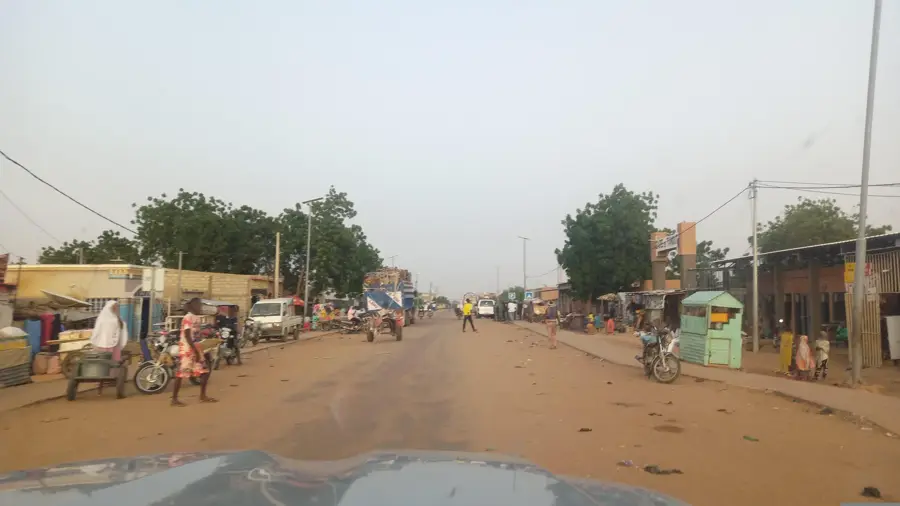
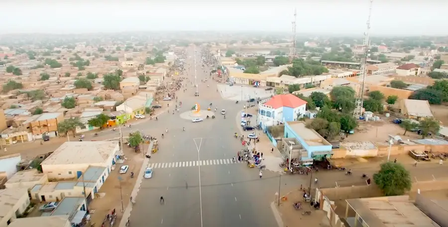
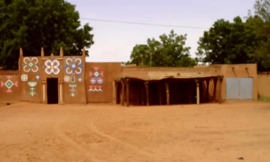
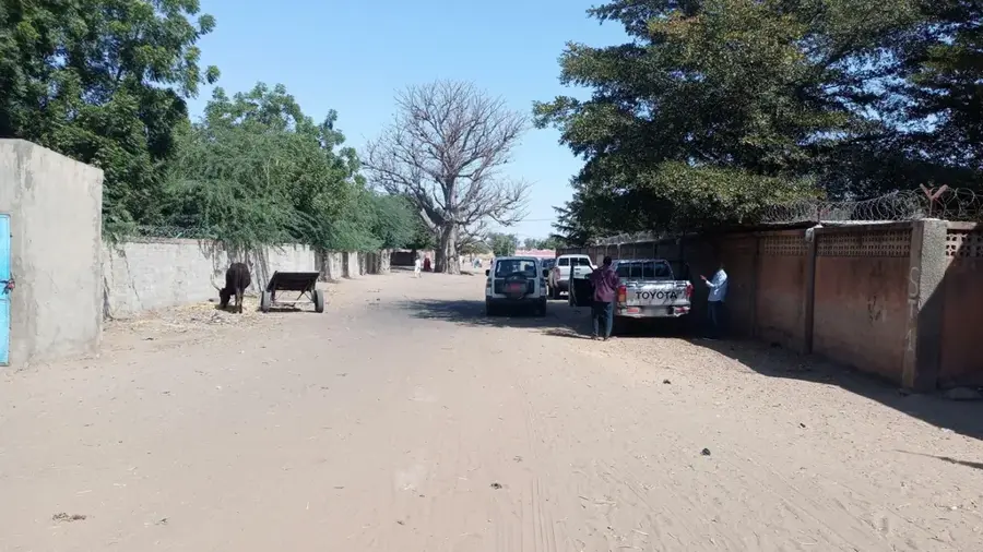
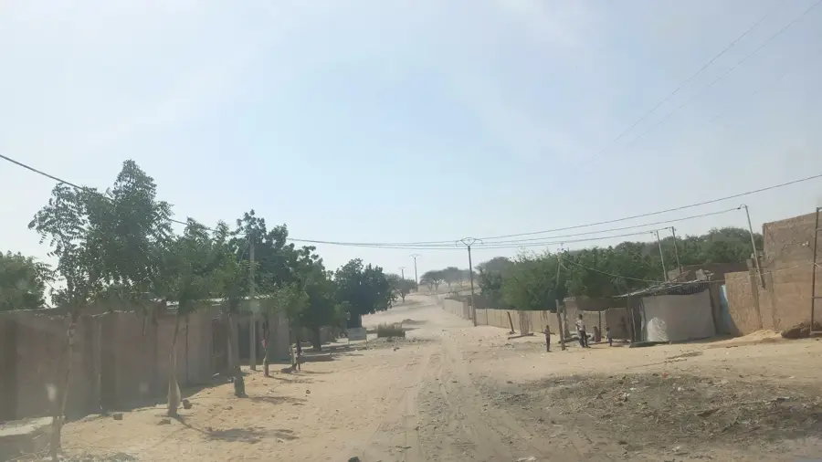
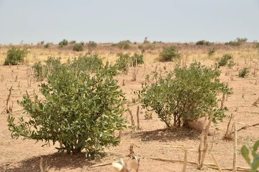
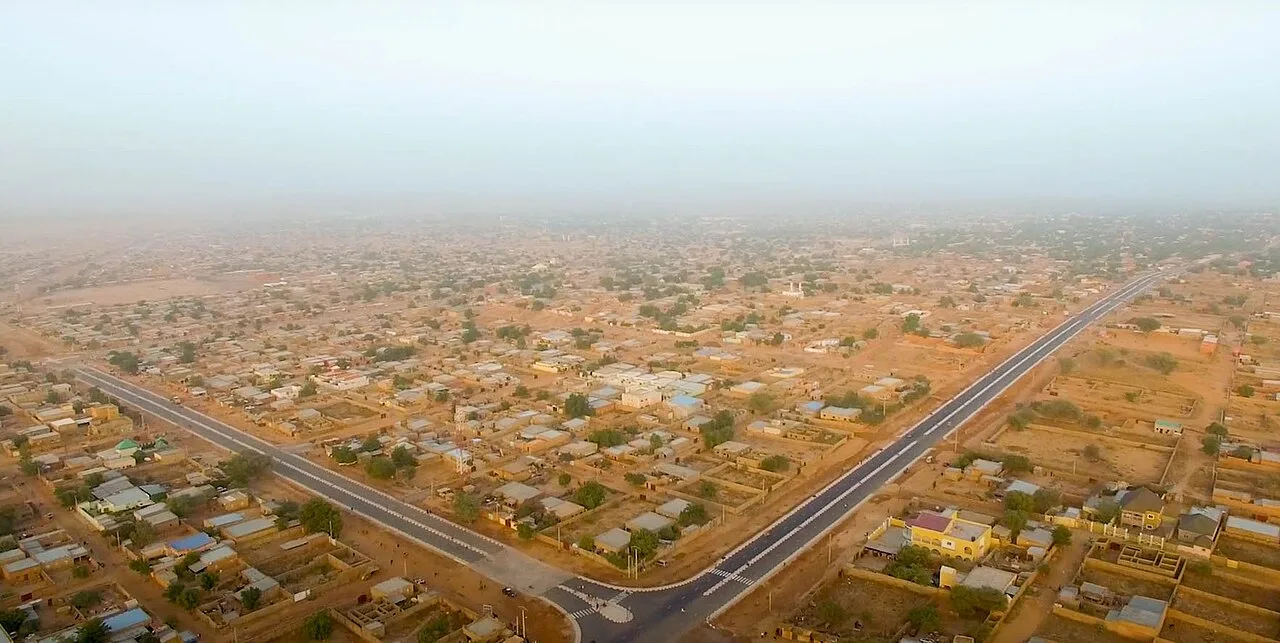
Tanout is a strategically vital town in the Zinder Region of central Niger, marking the transitional boundary between the southern savannas and the northern deserts. Often regarded as the gateway to the Aïr Mountains and the Sahara, the town has historically served as a critical rest stop for caravans and modern traders alike. Its geographical position along the Route Nationale 11 makes Tanout an indispensable supply point for travelers heading north toward Agadez. Historically, the town has been a melting pot of various ethnic groups, including the Hausa, Tuareg, and Fulani, which has enriched the local culture and trade practices. The climate is extremely arid, making water supply from deep wells vital for human survival and the sustaining of livestock. Tanout also functions as the administrative center for its namesake department, housing key local government offices and markets. The surrounding region is known for its rugged beauty but also faces significant ecological challenges from desertification, which local reforestation projects aim to mitigate. Despite these hardships, the town remains a symbol of resilience for the people living in the Sahelian environment.
- Location: Niger
- Nearby: Belbédji (49 km)
- Population: ~27.527 (2024)
Best time to visit & climate
The most pleasant time to visit is Jan, Feb, Dec.
| Jan | Feb | Mar | Apr | May | Jun | Jul | Aug | Sep | Oct | Nov | Dec | |
|---|---|---|---|---|---|---|---|---|---|---|---|---|
| Avg °C | 19 | 22 | 27 | 31 | 33 | 33 | 31 | 28 | 29 | 28 | 24 | 20 |
| Rain mm | 0 | 0 | 0 | 2 | 9 | 25 | 76 | 131 | 44 | 5 | 1 | 0 |
Geography
Facts
- Tanout is located about 150 kilometers north of Zinder along the RN11 highway.
- The town serves as a historical boundary point between sedentary farmers and nomadic herders.
- According to the 2012 census, the urban population was approximately 16,000 people.
- The region is a significant hub for the trade of salt and livestock from the north.
- Tanout is the capital of the largest department in terms of area within the Zinder Region.
- The average annual rainfall in the area is often less than 250 millimeters.
Explore nearby
Notable places around
Route planner — Car & Motorhome
Where do you start? We build the route here, with stops and country notes along the way.
© OpenStreetMap contributors · OpenRouteService
Frequently asked questions
What is the climate like in Tanout?
What can you do in Tanout?
Do you need a guide for Tanout?
Is Tanout safe for tourists?
Are there restaurants in Tanout?
Tanout: where is it located?
Tanout: when is the best time to visit?
Tanout: why is it worth visiting?

Nearby cities
History & landmarks

More places