Plizio Visual Lab
Damagaram Takaya
ℹ️Practical info — Damagaram Takaya
▾
🌤 Weather — 5 days
📍 Nearby
Sights nearby
💡 Tips
- Dress very modestly and respectfully, as it is a deeply traditional Islamic region.
- Travel with an experienced local guide, as infrastructure is minimal and local customs are paramount.
- The heat is punishing; drink bottled water constantly and avoid outdoor activities at midday.
- Bring plenty of cash (CFA francs) as ATMs are virtually nonexistent.
🍽 Food
A thick millet or sorghum porridge, the staple dish served with various sauces.
Steamed couscous made from cereals mixed with moringa leaves, available from local cooks.
Often found roasting at small roadside stands.
🛍 Shopping · 🧘 Quiet spots
Handcrafted sandals and pouches characteristic of the broader Zinder region.
Simple, functional clay pots found in the village market.
Enjoy the impressive colors of the Sahelian sunset.
A place to quietly observe the daily rhythm of life, but keep a respectful distance.
Water temperature…
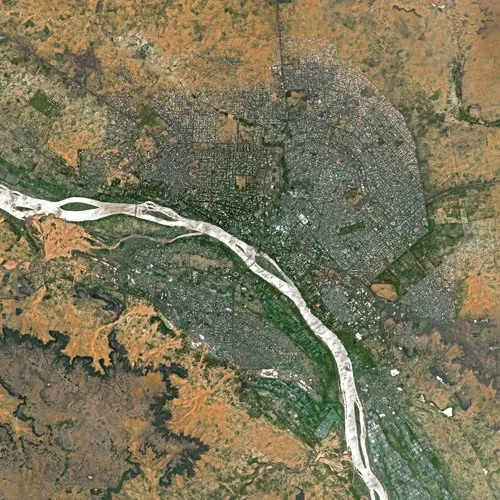
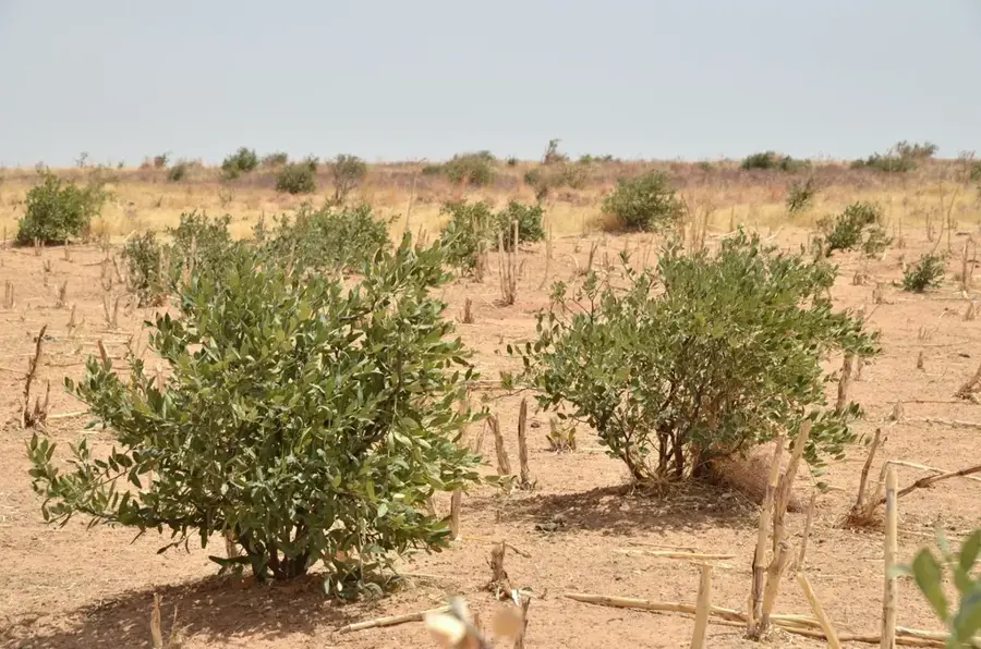
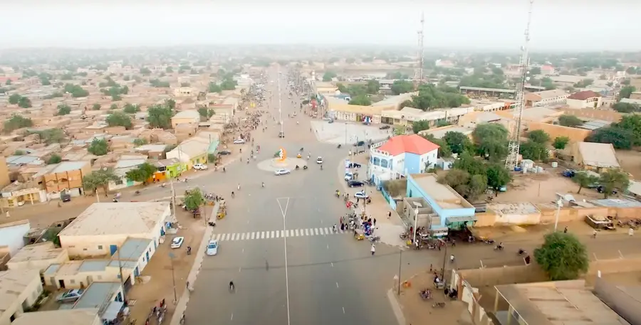
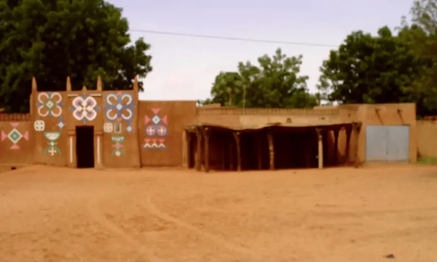
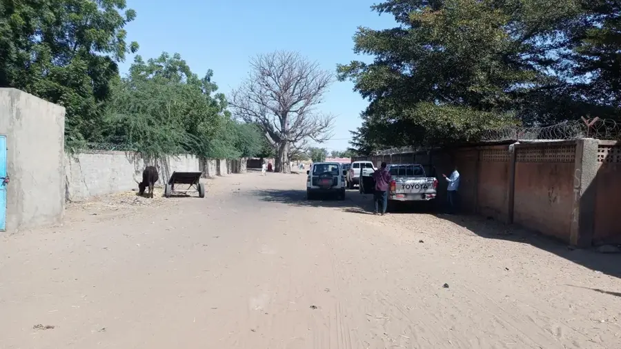
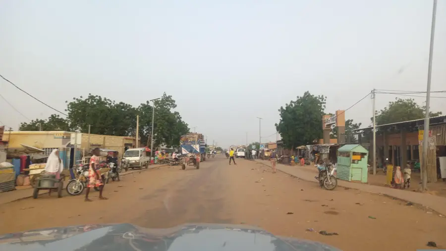
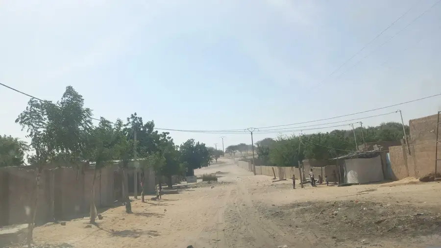
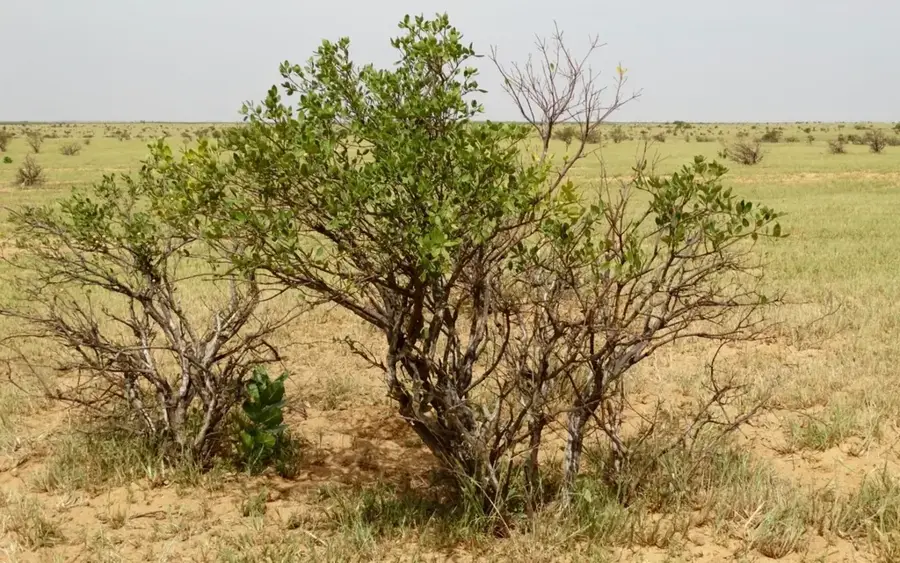
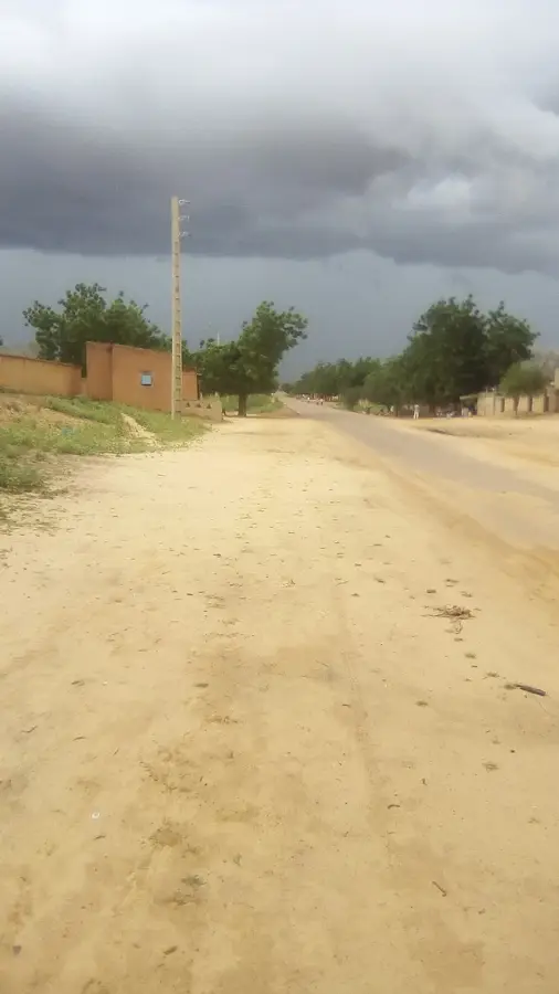
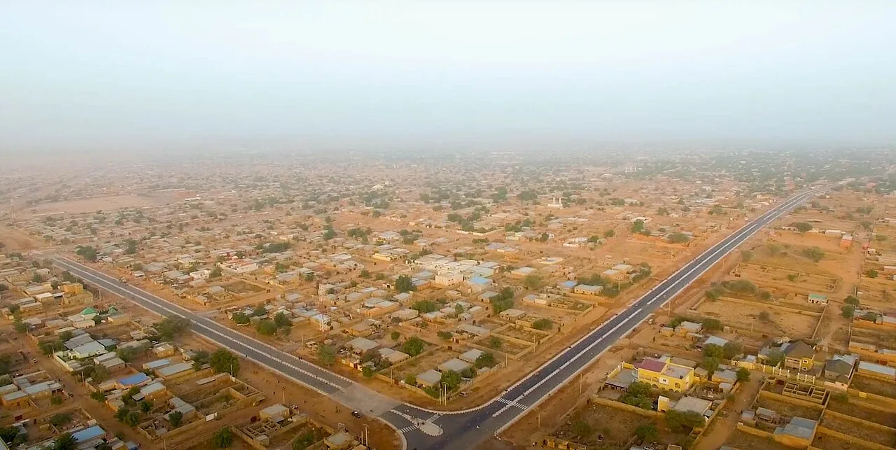
Damagaram Takaya is a historically significant municipality in the Zinder Region of southern Niger, located approximately 75 kilometers northeast of the regional capital. Its name harks back to the powerful Sultanate of Damagaram, which dominated the area during the 19th century, with Takaya playing a key role in the defense and administration of the empire. Today, the town is an essential agricultural center, primarily producing millet, sorghum, and cowpeas for regional consumption. The surrounding landscape is characterized by granite rock formations and scattered hills, giving the region a distinctive physical appearance. The social structure is deeply rooted in Hausa and Kanuri traditions, which are evident in local festivals and social organization. Damagaram Takaya also functions as the administrative headquarters for the department of the same name and serves as a vital trade link in this part of Zinder.
- Location: Niger
- Nearby: Mirriah (56 km)
- Population: ~4.592 (2024)
Best time to visit & climate
The most pleasant time to visit is Jan, Feb, Dec.
| Jan | Feb | Mar | Apr | May | Jun | Jul | Aug | Sep | Oct | Nov | Dec | |
|---|---|---|---|---|---|---|---|---|---|---|---|---|
| Avg °C | 20 | 24 | 28 | 32 | 33 | 33 | 30 | 27 | 28 | 28 | 25 | 21 |
| Rain mm | 0 | 0 | 0 | 3 | 14 | 45 | 117 | 173 | 55 | 9 | 2 | 0 |
Geography
Facts
- Historically linked to the 19th-century Sultanate of Damagaram.
- Located roughly 75 kilometers northeast of Zinder city.
- Administrative capital of the Damagaram Takaya Department.
- Core center for millet, sorghum, and cowpea cultivation.
- Home to a blend of Hausa and Kanuri cultural traditions.
- The area features distinctive granite outcrops and rocky hills.
Explore nearby
Notable places around
Route planner — Car & Motorhome
Where do you start? We build the route here, with stops and country notes along the way.
© OpenStreetMap contributors · OpenRouteService
Frequently asked questions
What is Damagaram Takaya?
Is a trip here worth it?
What is the accommodation like?
What should one consider?
What are the people like there?
Damagaram Takaya: where is it located?
Damagaram Takaya: when is the best time to visit?
Damagaram Takaya: why is it worth visiting?

Nearby cities
History & landmarks

More places