Plizio Visual Lab
Kantché
ℹ️Practical info — Kantché
▾
🌤 Weather — 5 days
📍 Nearby
Sights nearby
💡 Tips
- Road conditions can be rough; it is strictly advised to travel only during daylight hours.
- Dress modestly, covering shoulders and knees, to respect the local Islamic culture and traditions.
- The region is extremely hot and dry; always carry bottled water and stay hydrated.
- Photography of locals, especially in rural markets, should only be done after asking for explicit permission.
🍽 Food
Try this traditional thick millet or sorghum porridge, usually served with a savory vegetable or meat sauce.
Grilled mutton is a local favorite; look for street-side smoke pits in the evening.
A steamed dish made from cereals and leaves, available at small food stalls.
🛍 Shopping · 🧘 Quiet spots
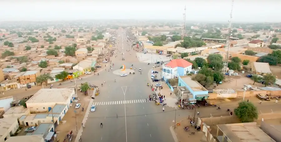
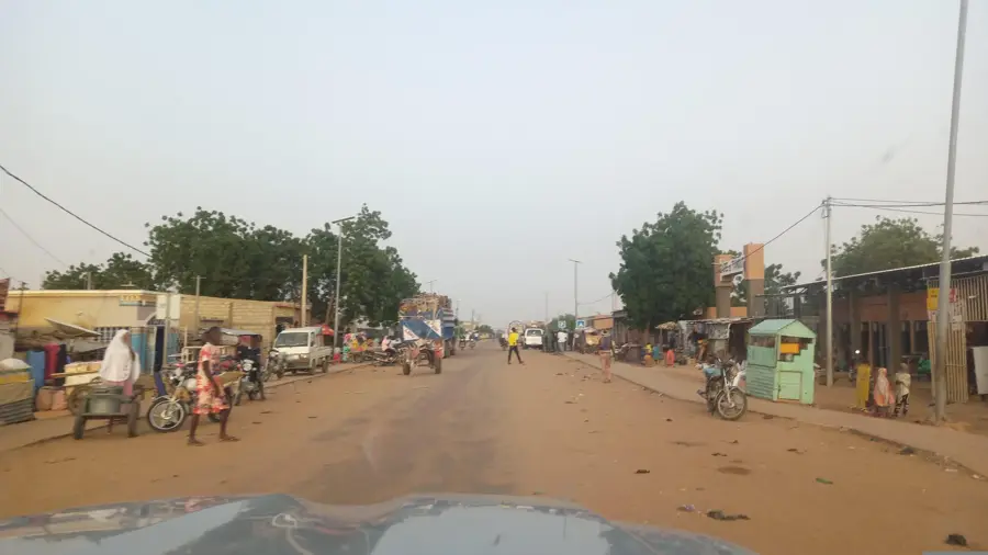
Visit the animated weekly market to buy fresh agricultural produce and see the local trading culture.
Look for woven baskets and mats crafted from local palm leaves.
A morning walk along the paths of the extensive millet fields has a serene, rural atmosphere.
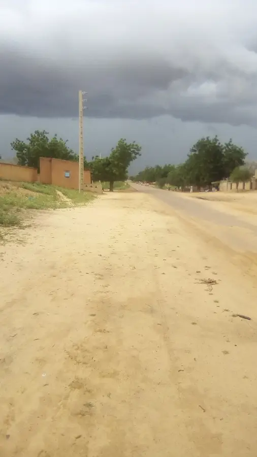
The quiet outskirts provide a peaceful view of the Sahel landscape at sunset.
Water temperature…
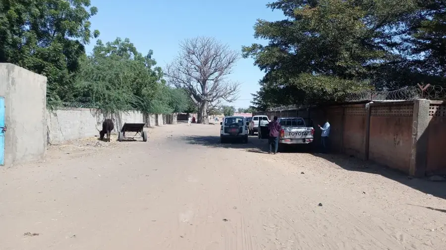
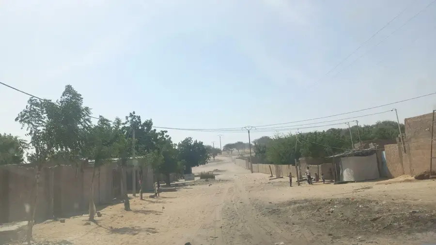
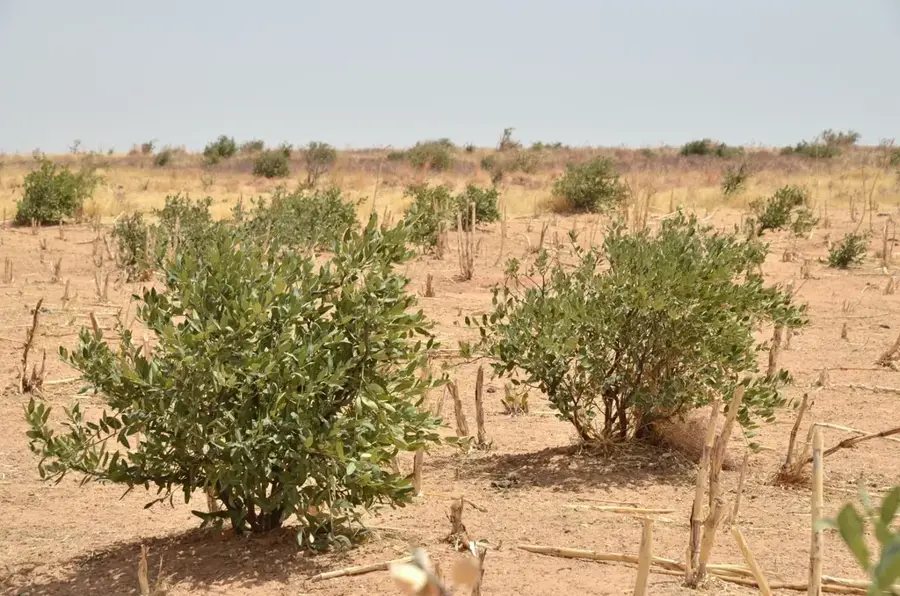
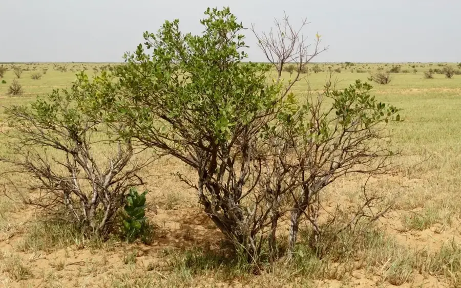
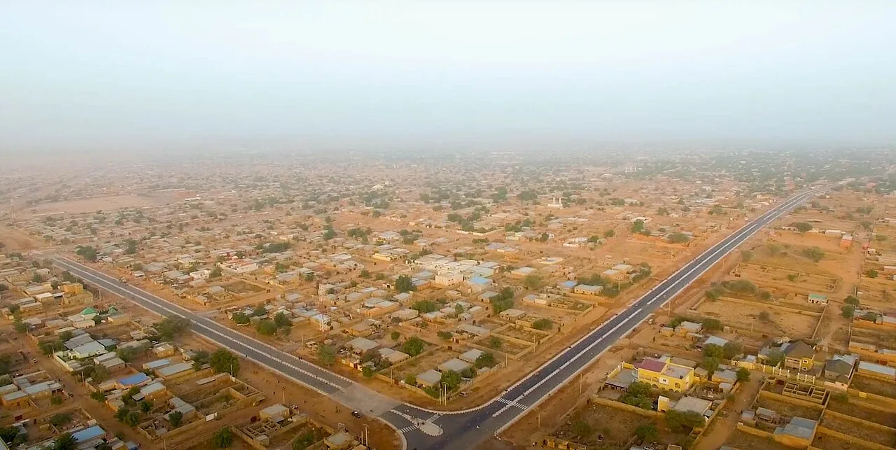
Kantché is a significant rural municipality in the Zinder Region of southern Niger, located in the heart of one of the country's most fertile agricultural zones. The town is a major center for the production of millet, sorghum, and peanuts, serving as a vital breadbasket for the Damagaram region. Historically, Kantché is closely linked to the Sultanate of Zinder and maintains strong traditional leadership structures to this day. The high population density in the surrounding area reflects the agricultural productivity and the sedentary lifestyle of the local Hausa population. Despite its agricultural focus, the region faces challenges such as soil erosion and climate change, necessitating modern adaptation strategies in farming. Kantché also acts as an important marketplace for the exchange of goods between rural communities and the regional capital of Zinder.
- Location: Niger
- Nearby: Matameye (14 km)
Best time to visit & climate
The most pleasant time to visit is Jan, Feb, Dec.
| Jan | Feb | Mar | Apr | May | Jun | Jul | Aug | Sep | Oct | Nov | Dec | |
|---|---|---|---|---|---|---|---|---|---|---|---|---|
| Avg °C | 21 | 25 | 29 | 32 | 33 | 32 | 29 | 27 | 27 | 28 | 25 | 22 |
| Rain mm | 0 | 0 | 0 | 3 | 17 | 54 | 139 | 189 | 66 | 11 | 1 | 0 |
Geography
Facts
- Located in the fertile Zinder Region of southern Niger.
- Major production hub for millet, sorghum, and peanuts.
- Historically linked to the influential Sultanate of Zinder.
- Situated in one of the most densely populated rural areas.
- Positioned on a strategic trade axis leading toward Nigeria.
- Acts as a regional center for traditional grain markets.
Explore nearby
Notable places around
Route planner — Car & Motorhome
Where do you start? We build the route here, with stops and country notes along the way.
© OpenStreetMap contributors · OpenRouteService
Frequently asked questions
What kind of place is Kantché?
Is a tourist visit worth it?
When is it most beautiful there?
Is accommodation available there?
How is the social interaction?
Kantché: where is it located?
Kantché: when is the best time to visit?
Kantché: why is it worth visiting?

Nearby cities
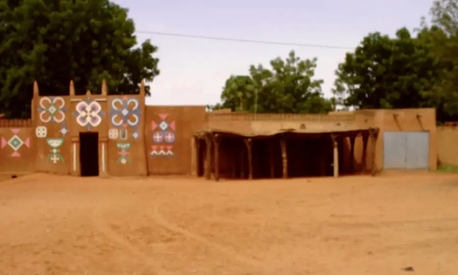
History & landmarks

More places