Plizio Visual Lab
Belbédji
ℹ️Practical info — Belbédji
▾
🌤 Weather — 5 days
📍 Nearby
Sights nearby
💡 Tips
- Visit during the cooler early morning hours to see local agricultural activities.
- Hire a local guide to learn about traditional dryland farming techniques.
- Bring plenty of your own drinking water as local supplies can be limited.
- Dress modestly in lightweight, breathable fabrics out of respect for local customs.
🍽 Food
A wholesome dietary staple enjoyed in the mornings.
A traditional thick grain mash usually served with rich vegetable sauces.
Rich dishes flavored with locally cultivated peanuts.
🛍 Shopping · 🧘 Quiet spots
Beautifully handcrafted by local artisans, great for storage or display.
Buy these raw grains straight from the bustling village market.
Peaceful expanses especially striking at dawn.
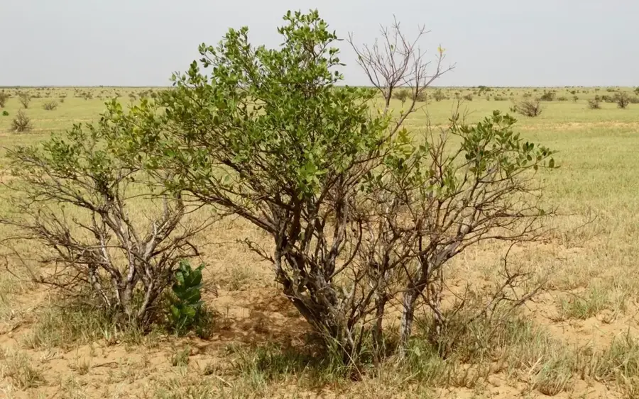
Sit beneath these ancient giants for a quiet retreat from the sun.
Water temperature…
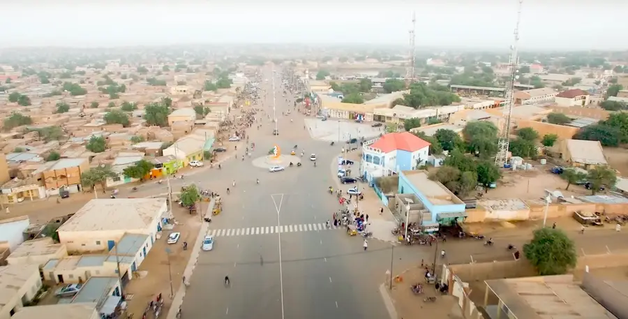
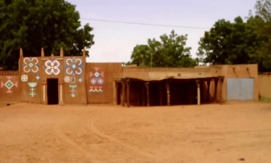
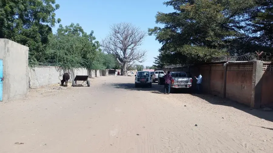
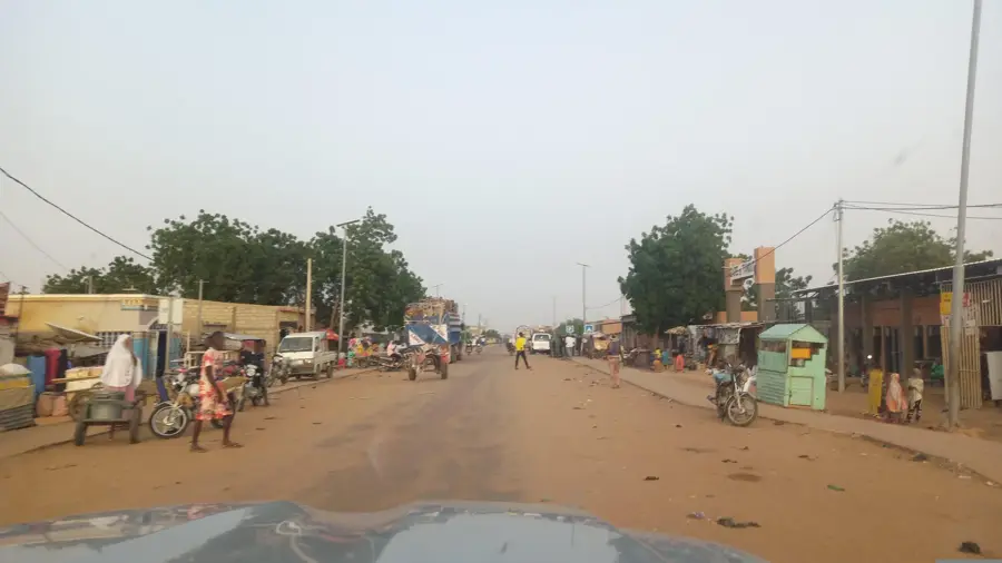
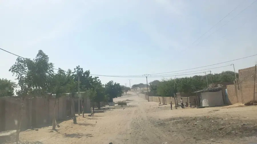
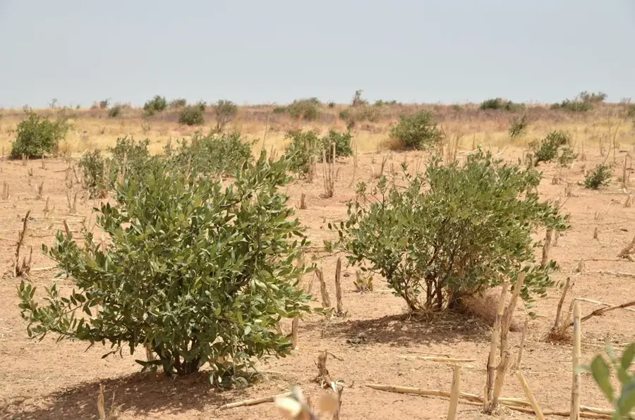
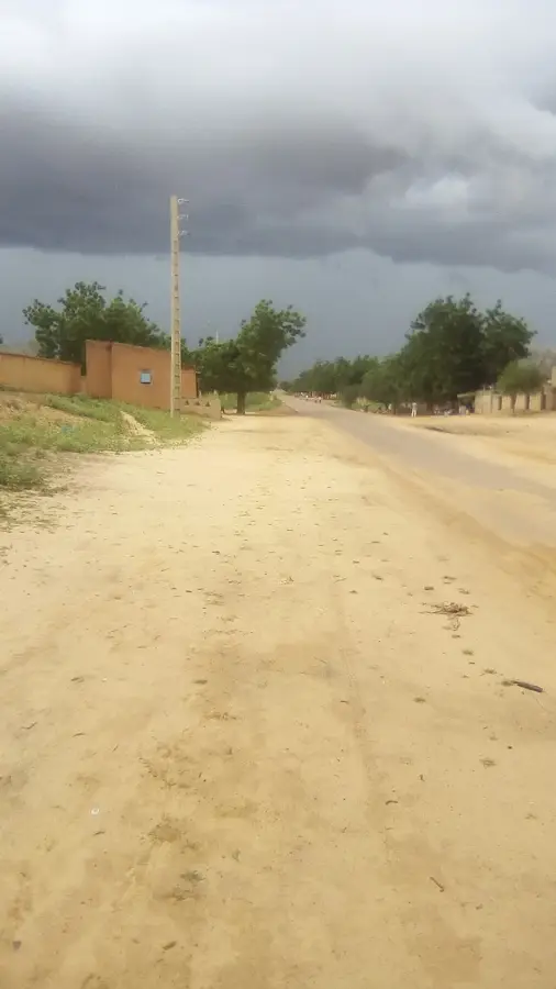
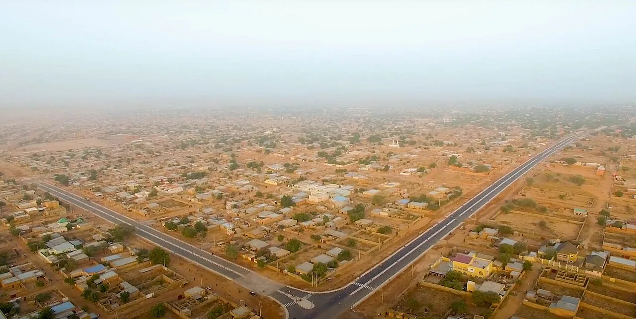
Belbédji is a rural commune and the administrative seat of the Belbédji Department in the Zinder Region of south-central Niger. The town is situated in a transition zone between the agriculturally focused Sudanian belt and the pastoral Sahelian region. Geographically, the surrounding area is characterized by sandy plains and seasonal ponds that serve as vital water sources for livestock during the rainy season. Historically, Belbédji has been a significant trading post where Hausa farmers exchange their crops for products from nomadic Peul and Tuareg herders. The town serves as an administrative hub for a vast rural hinterland, coordinating local infrastructure development. The commune's economy is driven by a mix of rain-fed agriculture, primarily peanuts and millet, and extensive livestock farming. In recent years, Belbédji has grown in importance as a transit point on trade routes connecting Zinder with the northern departments.
- Location: Niger
- Nearby: Tanout (49 km)
Best time to visit & climate
The most pleasant time to visit is Jan, Feb, Dec.
| Jan | Feb | Mar | Apr | May | Jun | Jul | Aug | Sep | Oct | Nov | Dec | |
|---|---|---|---|---|---|---|---|---|---|---|---|---|
| Avg °C | 20 | 23 | 28 | 32 | 33 | 33 | 30 | 28 | 28 | 28 | 24 | 21 |
| Rain mm | 0 | 0 | 0 | 2 | 12 | 36 | 96 | 157 | 48 | 7 | 2 | 0 |
Geography
Facts
- Belbédji was designated as a departmental capital in 2011.
- The town is located approximately 120 kilometers northwest of Zinder, the regional capital.
- The region is a leading producer of peanuts within its administrative department.
- Belbédji hosts one of the most vibrant weekly livestock markets in the Zinder region.
- The population is largely comprised of Hausa, Peul, and Tuareg communities.
- The commune is a focus for borehole projects designed to enhance agricultural irrigation.
Explore nearby
Notable places around
Route planner — Car & Motorhome
Where do you start? We build the route here, with stops and country notes along the way.
© OpenStreetMap contributors · OpenRouteService
Frequently asked questions
What is the main character of Belbédji?
When should one visit Belbédji?
Is there any connection there?
What is the regional specialty?
Should one go to Belbédji as a tourist?
Belbédji: where is it located?
Belbédji: when is the best time to visit?
Belbédji: why is it worth visiting?

Nearby cities
History & landmarks
More places