Plizio Visual Lab
Dungass

ℹ️Practical info — Dungass
▾
🌤 Weather — 5 days
📍 Nearby
Sights nearby
💡 Tips
- Dress modestly to respect the predominantly Islamic local culture; long trousers and covered shoulders are recommended.
- Temperatures drop significantly at night during the dry season, so pack a warm jacket if visiting then.
- Bush taxis are the main transport in and out; expect to wait until they are completely full before departure.
- Ask for permission before taking photographs of people or their market stalls.
🍽 Food
A dense millet or sorghum paste, served with thick local sauces, usually eaten by hand at market food stalls.
Stews flavored with locally grown peanuts; try them at traditional roadside eateries.
A standard local breakfast; often sold by street vendors early in the morning.
🛍 Shopping · 🧘 Quiet spots
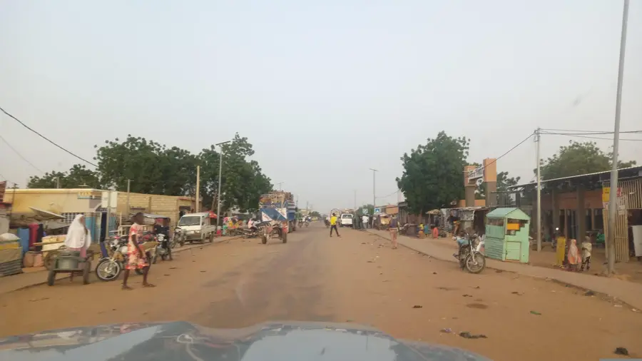
The heart of local commerce where you can find fresh produce, peanuts, and millet directly from farmers.
Colorful fabrics and sometimes locally made leather goods are available at the larger market stalls.
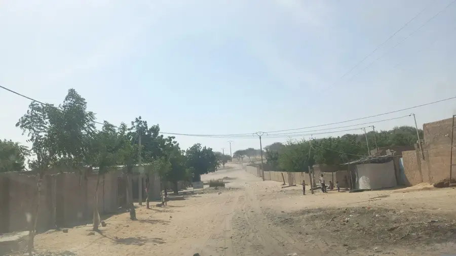
A short walk to the edge of the settlement provides quiet views of the expansive agricultural fields.
The outer areas around the mosques are peaceful outside of prayer times (admire respectfully from the outside).
Water temperature…
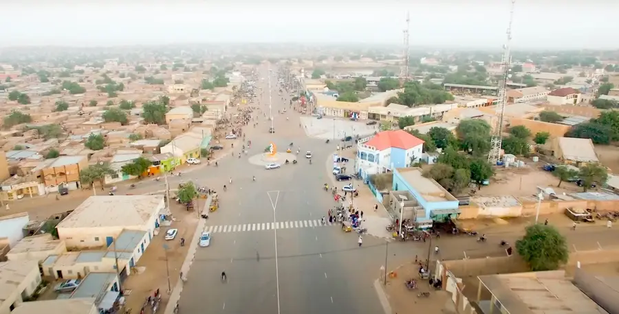
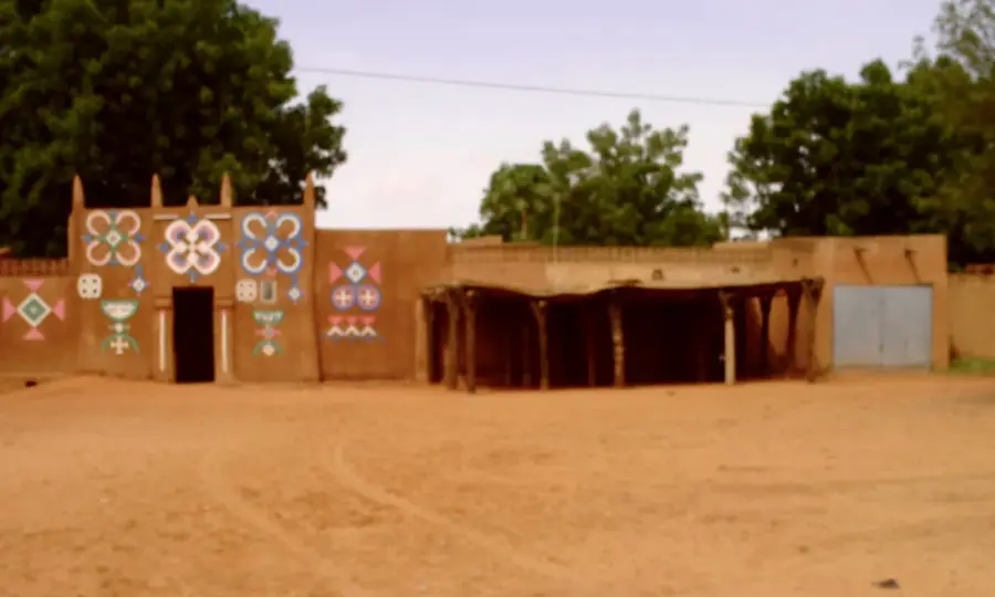
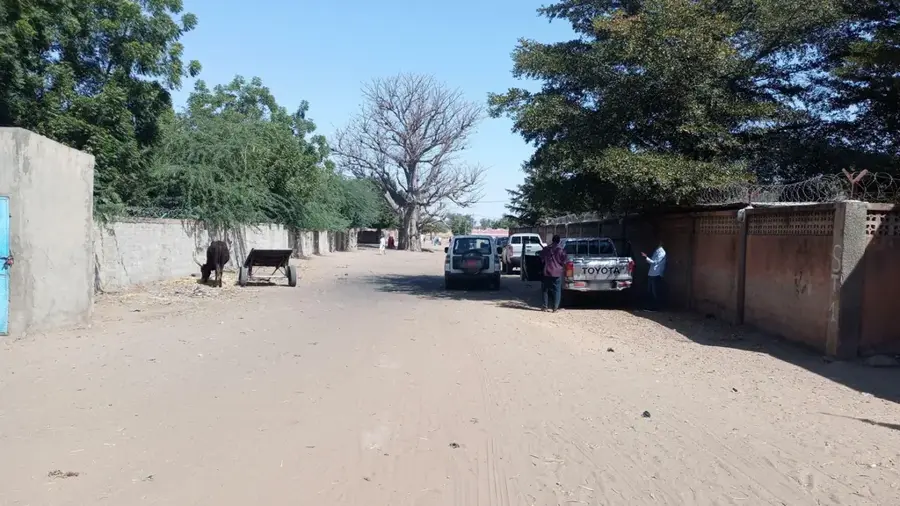
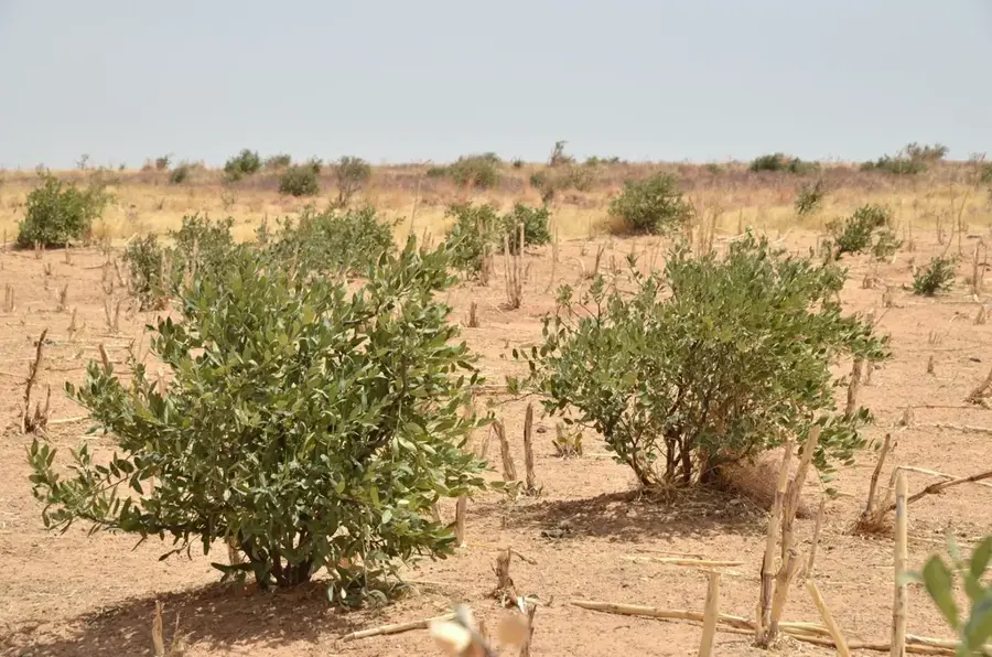
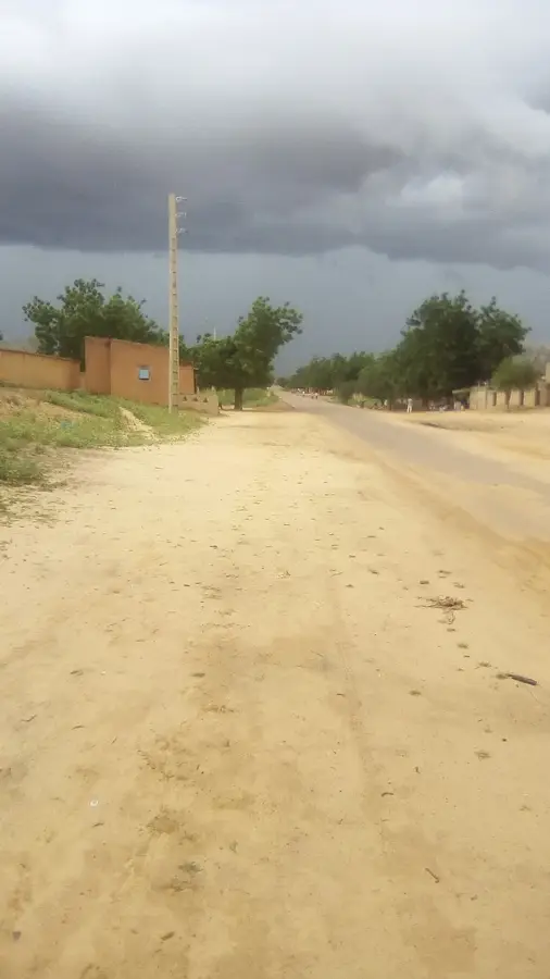
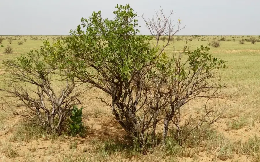
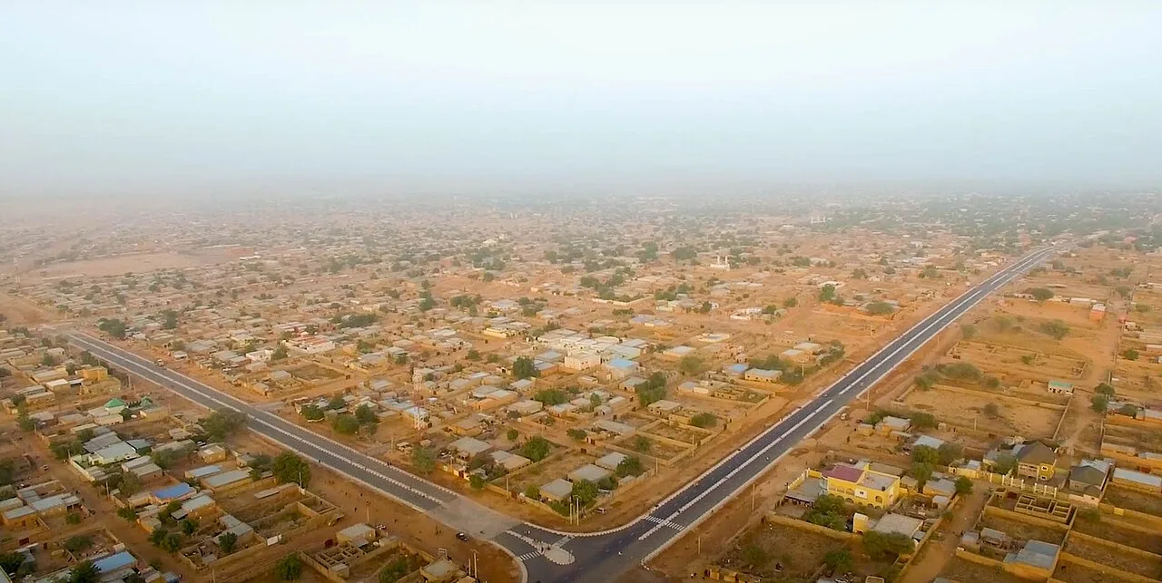
Dungass is a thriving town in southern Niger within the Zinder Region, known for its productive agricultural sector and strategic proximity to the Nigerian border. The area benefits from some of the most fertile soils in the country, allowing for the extensive cultivation of millet, sorghum, and groundnuts, which are key to the local economy. Its location near the frontier makes Dungass a bustling commercial hub, where agricultural surplus is traded for manufactured goods from Nigeria. The town is deeply influenced by Hausa culture, evident in its social hierarchy, traditional architecture, and bustling marketplace activities. Beyond farming, livestock rearing is a vital secondary industry, with the town serving as a gathering point for herds moving toward southern grazing lands. Recent improvements in road connectivity to the regional capital, Zinder, have spurred urban growth and improved access to essential services. Dungass plays a crucial role in regional food security and remains a prime example of the economic interdependence characteristic of the Niger-Nigeria borderlands.
- Location: Niger
- Nearby: Magaria (47 km)
- Population: ~13.351 (2024)
Best time to visit & climate
The most pleasant time to visit is Jan, Feb, Dec.
| Jan | Feb | Mar | Apr | May | Jun | Jul | Aug | Sep | Oct | Nov | Dec | |
|---|---|---|---|---|---|---|---|---|---|---|---|---|
| Avg °C | 21 | 25 | 29 | 32 | 33 | 32 | 29 | 27 | 27 | 28 | 25 | 22 |
| Rain mm | 0 | 0 | 1 | 5 | 24 | 66 | 151 | 207 | 80 | 13 | 3 | 0 |
Geography
Facts
- Located in the southern Zinder Region, near the Nigerian border.
- Administrative capital of the Dungass Department.
- A key producer of groundnuts and sorghum for the region.
- Functions as a major cross-border commercial gateway.
- The population is predominantly Hausa, sharing cross-border ties.
- The town is a significant transit point for livestock transhumance.
Explore nearby
Notable places around
Route planner — Car & Motorhome
Where do you start? We build the route here, with stops and country notes along the way.
© OpenStreetMap contributors · OpenRouteService
Frequently asked questions
What is Dungass?
Is Dungass touristy?
What can you experience?
Do you need a car?
What is the best travel time?
Dungass: where is it located?
Dungass: when is the best time to visit?
Dungass: why is it worth visiting?

Nearby cities
History & landmarks
More places