Plizio Visual Lab
Matameye
ℹ️Practical info — Matameye
▾
🌤 Weather — 5 days
📍 Nearby
Sights nearby
💡 Tips
- Visit the Friday market, one of the largest and most spirited agricultural markets in the area.
- Use the local horse-drawn carts (caleche) for short trips around the town.
- The town is famous for its fertile surroundings; try the fresh seasonal fruits.
- Wear sturdy shoes for navigating the large and busy market grounds.
- Respect the traditional Zarma and Hausa cultures that blend in this urban center.
🍽 Food
The region is a major producer of peanuts; the stew is rich, savory, and filling.
A local staple, often served with a spicy sauce made from fresh garden vegetables.
During the harvest season, these are available in great quality at almost every street corner.
🛍 Shopping · 🧘 Quiet spots
Matameye is known for high-quality handmade sandals and bags made from local leather.
Look for colorful baskets and bowls woven from durable natural plant fibers.
The gardens surrounding the town offer shady spots and a calm atmosphere.
Wide walking paths outside the center lead through the fertile cultivated fields.
Water temperature…
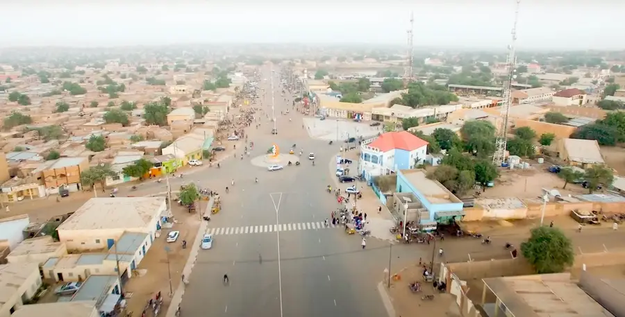
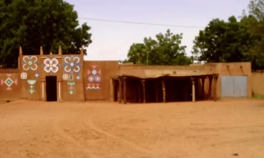
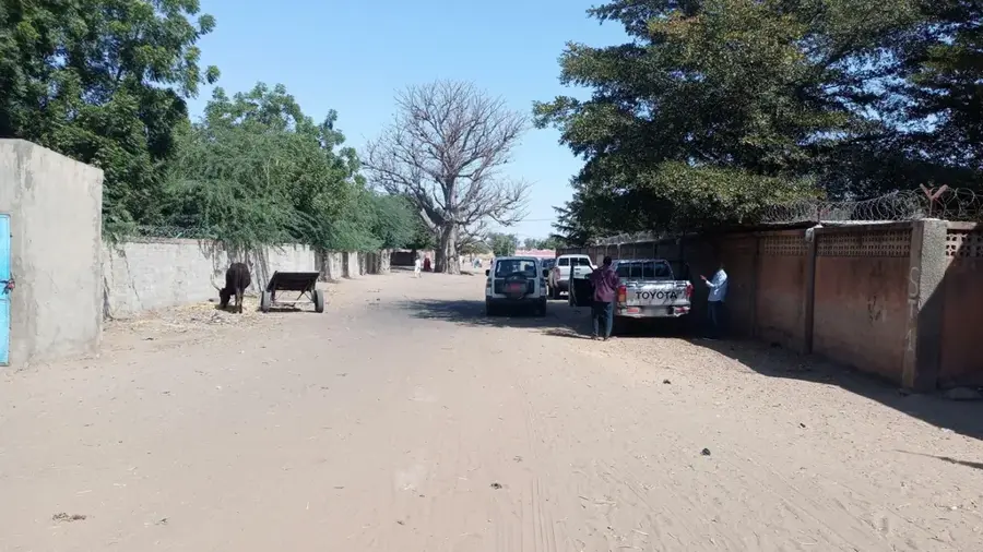
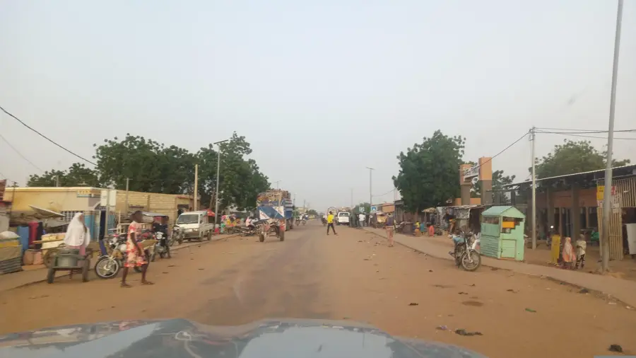
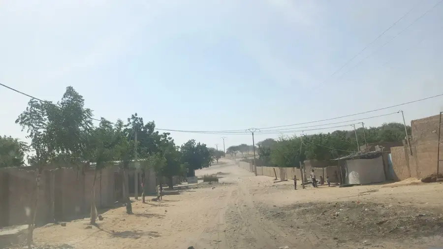
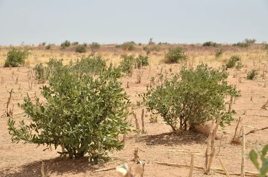
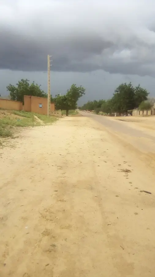
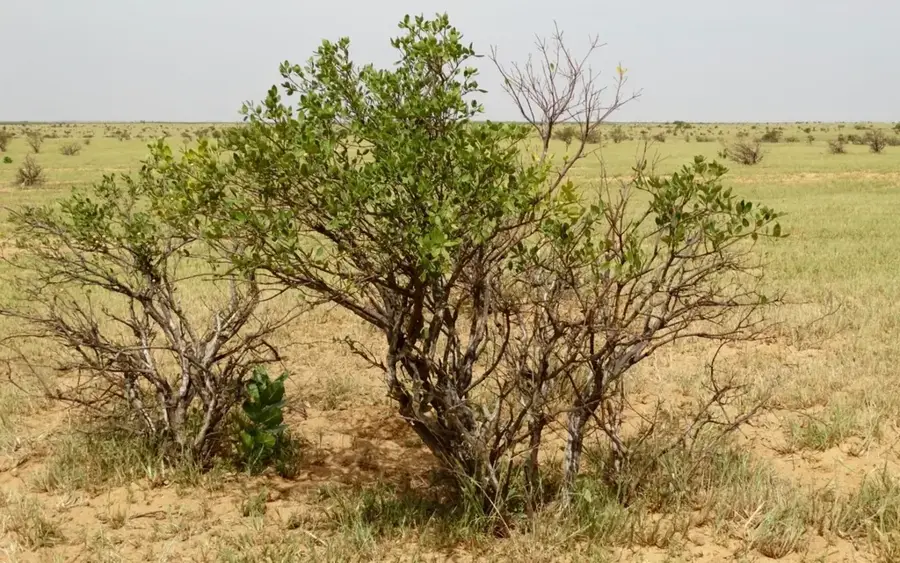
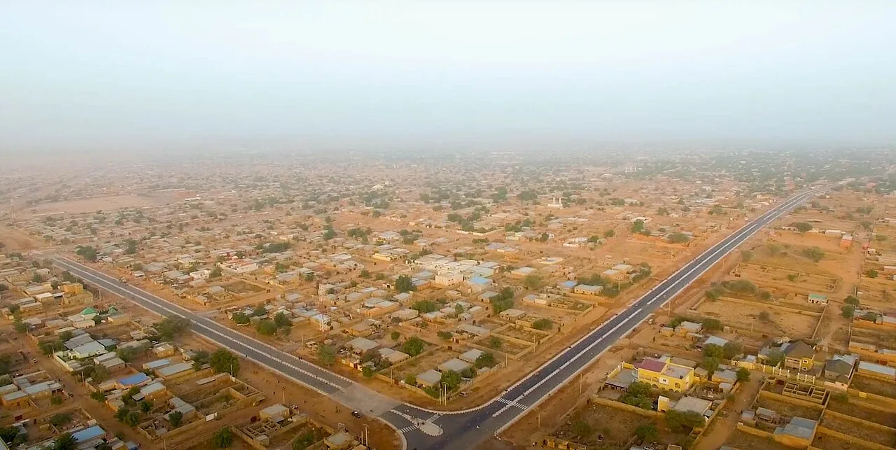
Matameye is a significant administrative and commercial hub located in the Zinder Region of southern Niger, positioned close to the international border with Nigeria. The town serves as a crucial junction for cross-border trade, which is most evident during its bustling market days when traders from both nations exchange agricultural and manufactured goods. Historically, Matameye lies within the heartland of the Hausa people, a factor that deeply influences its architectural styles, social hierarchy, and local customs. Geographically situated in a semi-arid zone, the region's economy is heavily reliant on seasonal rainfall for the cultivation of millet and sorghum, alongside extensive livestock farming. As the capital of its namesake department, the town fulfills essential administrative functions and is well-integrated into the national transport network via the Route Nationale 11. Recent demographic trends show consistent growth, highlighting its role as an urban anchor for the surrounding rural populations. Despite the ongoing environmental challenges of the Sahel, Matameye remains a vital center of economic resilience and cultural heritage in eastern Niger.
- Location: Niger
- Nearby: Kantché (14 km)
- Population: ~37.374 (2024)
Best time to visit & climate
The most pleasant time to visit is Jan, Feb, Dec.
| Jan | Feb | Mar | Apr | May | Jun | Jul | Aug | Sep | Oct | Nov | Dec | |
|---|---|---|---|---|---|---|---|---|---|---|---|---|
| Avg °C | 21 | 25 | 29 | 32 | 33 | 32 | 29 | 27 | 27 | 28 | 25 | 22 |
| Rain mm | 0 | 0 | 0 | 3 | 17 | 54 | 139 | 189 | 66 | 11 | 1 | 0 |
Geography
Facts
- Matameye is situated approximately 60 kilometers south of the regional capital, Zinder.
- The town is a key transit point on the Route Nationale 11 highway.
- In the 2012 census, the urban population was recorded at over 27,000 residents.
- The Matameye Department is among the most densely populated agricultural zones in Niger.
- The area is renowned for its production of groundnuts and seasonal millet crops.
- The average elevation of the town is approximately 450 meters above sea level.
Explore nearby
Notable places around
Route planner — Car & Motorhome
Where do you start? We build the route here, with stops and country notes along the way.
© OpenStreetMap contributors · OpenRouteService
Frequently asked questions
How many days should I plan for Matameye?
When is the best time to visit Matameye?
What is the best way to travel to Matameye?
Are there local specialties in Matameye?
Is Matameye family-friendly?
Matameye: where is it located?
Matameye: when is the best time to visit?
Matameye: why is it worth visiting?

Nearby cities
History & landmarks

More places