Plizio Visual Lab
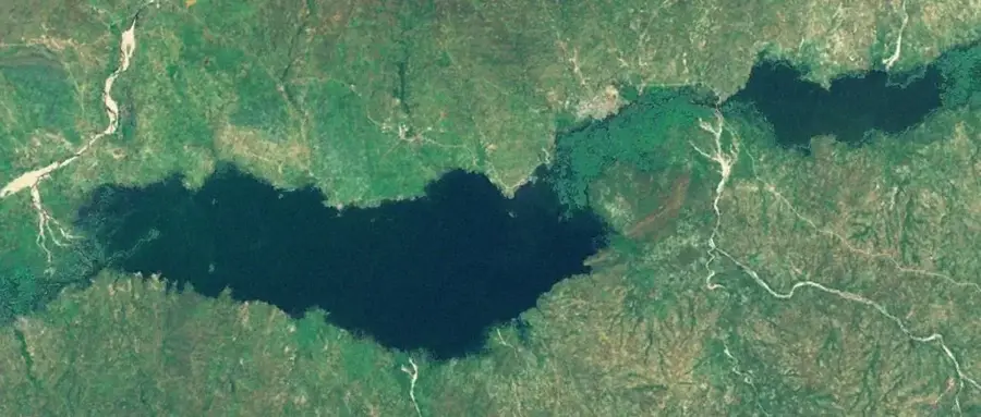
Eastern Damagaram Plateau

Weather…
Water temperature…
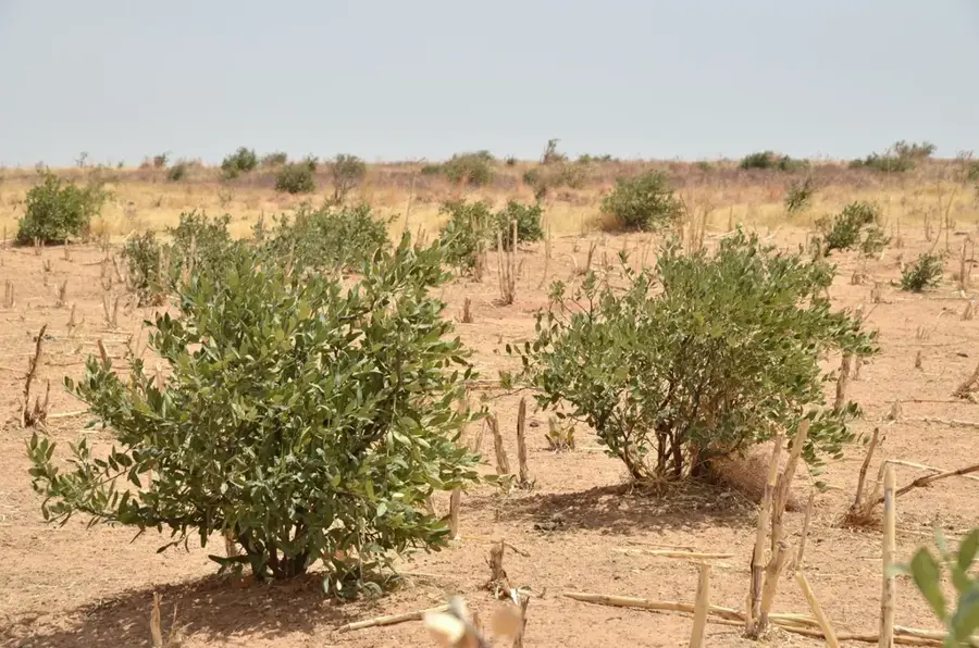
The Eastern Damagaram Plateau is a rugged highland region located in the Zinder department of southern Niger. Known for its distinct granitic outcrops and massive boulders, the landscape has a unique topography compared to the surrounding plains. Historically, the area was the center of the powerful Sultanate of Damagaram, which rose to prominence in 1731 as a major trade power. Today, the plateau serves as a vital agricultural hub, supporting a population of over 1.5 million people through the farming of millet and sorghum. The average altitude ranges between 400 and 500 meters, providing a slightly cooler climate that favors settlement. The region remains a cultural bastion where traditional Hausa architecture and the Sultan's influence are still clearly visible in daily life.
- Location: Niger
- Nearby: Damagaram Takaya (66 km)
Best time to visit & climate
The most pleasant time to visit is Jan, Feb, Dec.
| Jan | Feb | Mar | Apr | May | Jun | Jul | Aug | Sep | Oct | Nov | Dec | |
|---|---|---|---|---|---|---|---|---|---|---|---|---|
| Avg °C | 19 | 23 | 27 | 31 | 34 | 33 | 31 | 28 | 29 | 28 | 24 | 20 |
| Rain mm | 0 | 0 | 0 | 2 | 9 | 32 | 88 | 150 | 45 | 6 | 1 | 0 |
📋 Practical info
Geography
Facts
- The Sultanate of Damagaram was formally established in the year 1731.
- The plateau's elevation typically fluctuates between 400 and 500 meters.
- Over 1.5 million people inhabit the broader Zinder and Damagaram region.
- Granite formations here provide natural defensive positions used in ancient times.
- It is the primary national center for the production of millet and sorghum.
- The historical capital, Zinder, was the capital of Niger until 1926.
Explore nearby
Notable places around
Route planner — Car & Motorhome
Where do you start? We build the route here, with stops and country notes along the way.
© OpenStreetMap contributors · OpenRouteService
Sights nearby
Frequently asked questions
What does the Eastern Damagaram Plateau offer?
Can you camp there?
Is the terrain drivable?
What is the best season?
Are there any villages nearby?
Eastern Damagaram Plateau: where is it located?
Eastern Damagaram Plateau: when is the best time to visit?
Eastern Damagaram Plateau: why is it worth visiting?

Nearby cities
Nature

More places