Plizio Visual Lab
Damagaram Plateau Edge

Weather…
Water temperature…
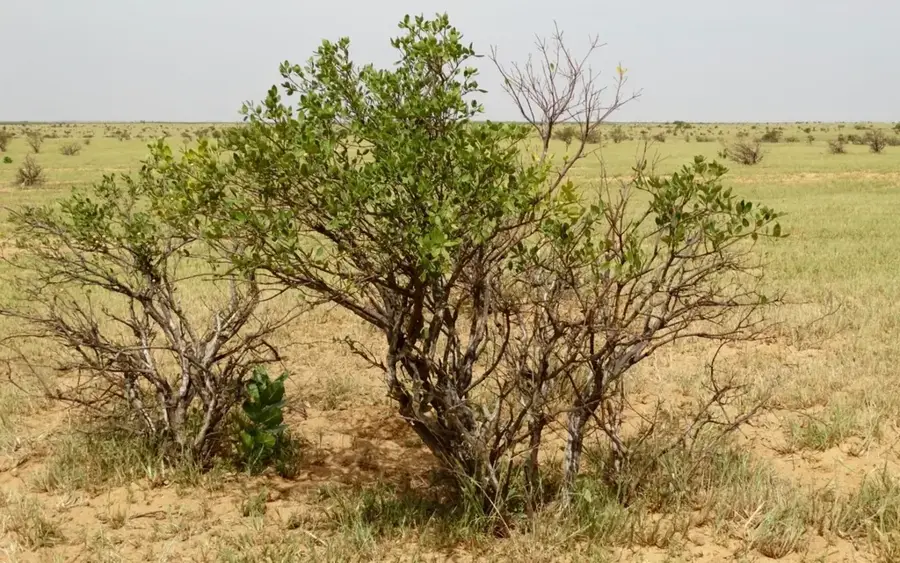
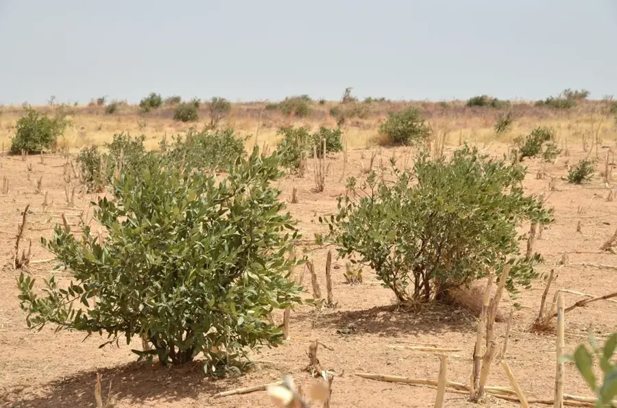
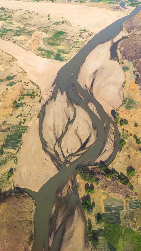
The Damagaram Plateau Edge is a prominent geographical feature in the Zinder region of southern Niger, forming a natural transition in the Sahelian landscape. This geological formation consists primarily of crystalline basement rock and marks the boundary between the sandy plains to the north and the more arable lands to the south. Historically, the plateau served as the heartland of the Sultanate of Damagaram, established in the 18th century, which rose to prominence as a powerful trading state in the 19th century. Centuries of erosion have sculpted steep escarpments and isolated inselbergs that dominate the horizon. The plateau sits at an average elevation of about 450 meters above sea level and acts as a significant watershed for seasonal streams known as koramas. Today, the area is characterized by intensive rain-fed agriculture, particularly millet and peanut farming, alongside traditional livestock rearing by the Hausa and Tuareg communities.
- Location: Niger
- Nearby: Belbédji (37 km)
Best time to visit & climate
The most pleasant time to visit is Jan, Feb, Dec.
| Jan | Feb | Mar | Apr | May | Jun | Jul | Aug | Sep | Oct | Nov | Dec | |
|---|---|---|---|---|---|---|---|---|---|---|---|---|
| Avg °C | 19 | 23 | 27 | 31 | 33 | 33 | 30 | 28 | 29 | 28 | 24 | 20 |
| Rain mm | 0 | 0 | 0 | 2 | 11 | 35 | 97 | 158 | 49 | 7 | 2 | 0 |
📋 Practical info
Geography
Facts
- The plateau reaches an average elevation of 450 meters above sea level.
- It was the central territory of the Damagaram Sultanate in the 1800s.
- The area receives between 300 and 500 mm of annual rainfall.
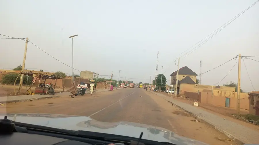
- Zinder, the former capital of Niger, is located on the edge of the plateau.
- The geological basement is composed of Precambrian crystalline rocks.
- The landscape is dotted with prominent inselbergs and granite outcrops.
Explore nearby
Notable places around
Route planner — Car & Motorhome
Where do you start? We build the route here, with stops and country notes along the way.
© OpenStreetMap contributors · OpenRouteService
Sights nearby
Frequently asked questions
Is the plateau easy to travel?
What is the environment like?
Are there dangers for hikers?
When should you not visit the plateau?
Is this area culturally relevant?
Damagaram Plateau Edge: where is it located?
Damagaram Plateau Edge: when is the best time to visit?
Damagaram Plateau Edge: why is it worth visiting?

Nearby cities
Nature

More places