Plizio Visual Lab
Hilversum Moraine Ridge
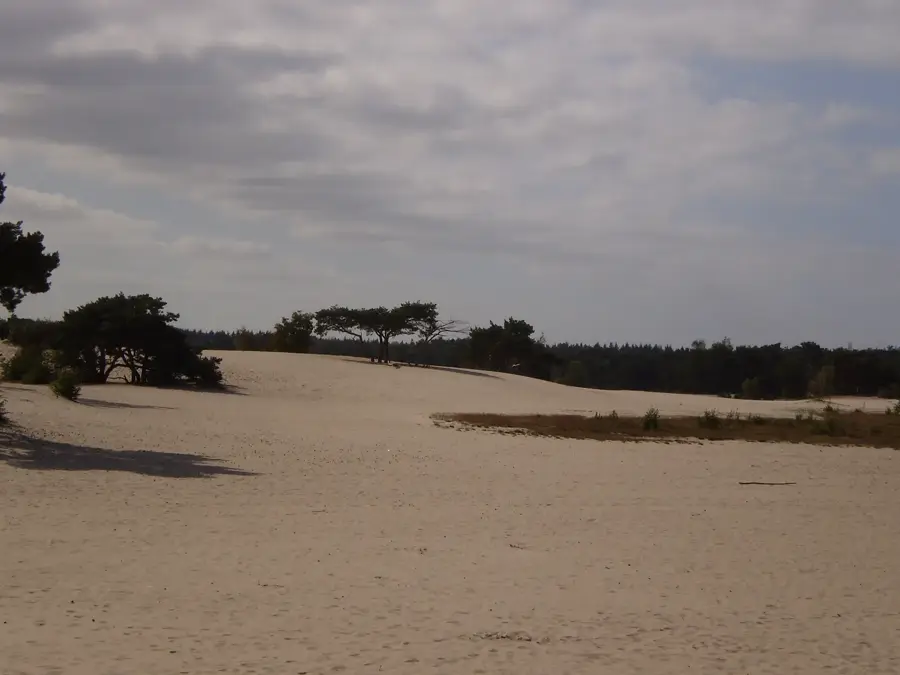
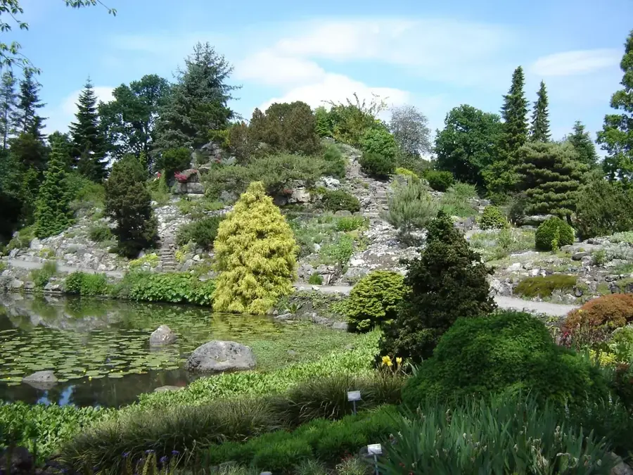
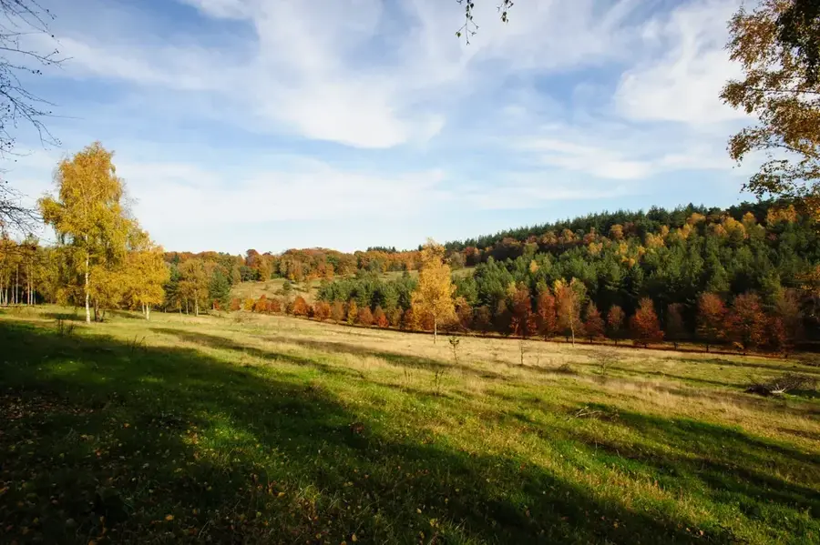
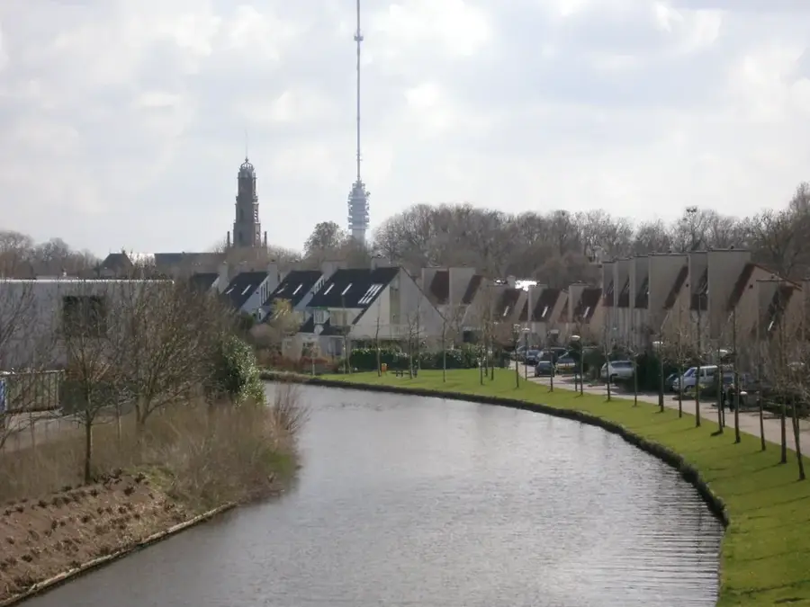
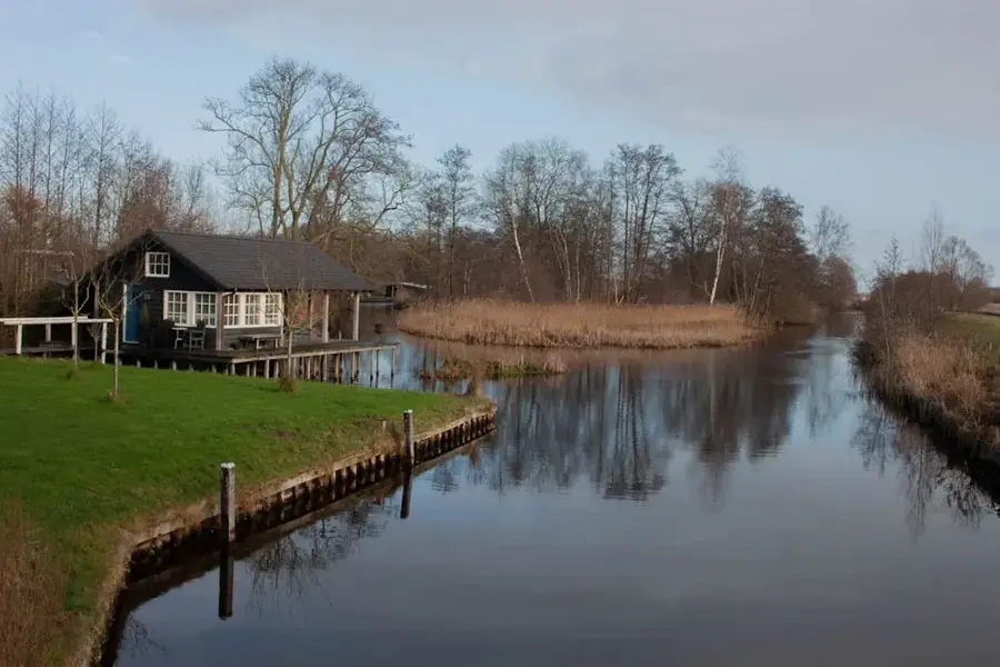
The Hilversum Moraine Ridge is a prominent geological feature formed during the Saale glaciation, when massive ice sheets reshaped the landscape of the Netherlands. This chain of hills rises distinctly above the surrounding low-lying polders, consisting primarily of sandy sediments pushed upward by the immense pressure of the advancing ice. Part of the Gooise Zandgronden region, the ridge features a stark ecological contrast to the country's typical wetlands, featuring expansive heathlands, dense forests, and inland dunes. The undulating terrain is a popular destination for hikers and cyclists, providing rare elevation changes and scenic overlooks in an otherwise flat country. The sandy soil supports a unique ecosystem adapted to nutrient-poor conditions, including specific bird species and hardy vegetation. Historically, the higher ground provided a safe haven for human settlement since the Bronze Age, as evidenced by local archaeological finds and burial mounds. Today, the ridge is a cherished natural preserve that illustrates the dramatic power of ice age processes in carving out the geography of Western Europe.
- Location: Utrecht, Netherlands
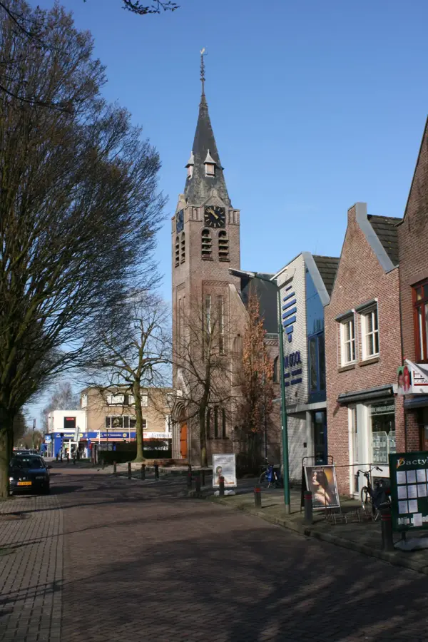
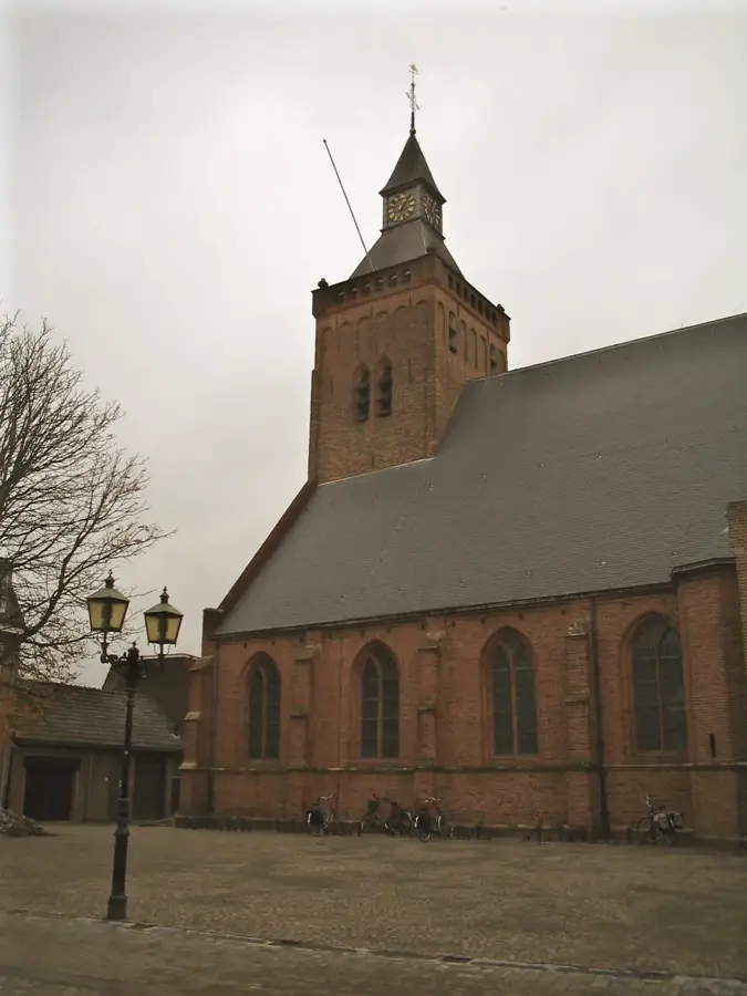
- Top sights: Fotomuseum Hilversum · Grote Kerk · Globe
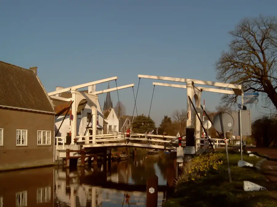
- Nearby: Soest (10 km)
Best time to visit & climate
The most pleasant time to visit is Jun–Aug.
| Jan | Feb | Mar | Apr | May | Jun | Jul | Aug | Sep | Oct | Nov | Dec | |
|---|---|---|---|---|---|---|---|---|---|---|---|---|
| Avg °C | 3 | 3 | 6 | 9 | 13 | 16 | 18 | 18 | 15 | 11 | 7 | 4 |
| Rain mm | 74 | 64 | 54 | 38 | 59 | 63 | 80 | 83 | 63 | 71 | 72 | 79 |
📋 Practical info
Geography
Facts
- Highest point: approx. 30 m above sea level
- Length: approx. 8 km
- Width: 1-2 km
- Material: sandy loam with boulders
- City of Hilversum partially built on it
- Importance for groundwater recharge
Explore nearby
Notable places around
Route planner — Car & Motorhome
Where do you start? We build the route here, with stops and country notes along the way.
© OpenStreetMap contributors · OpenRouteService
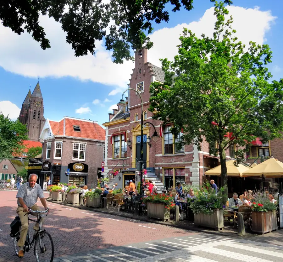
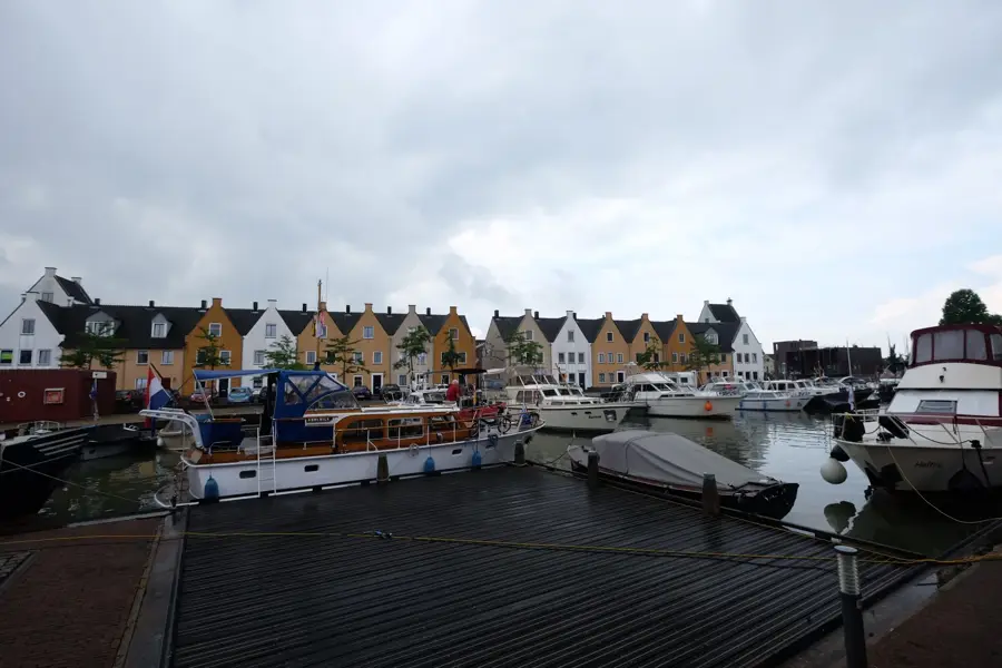
Sights in the town Hilversum Moraine Ridge (10)
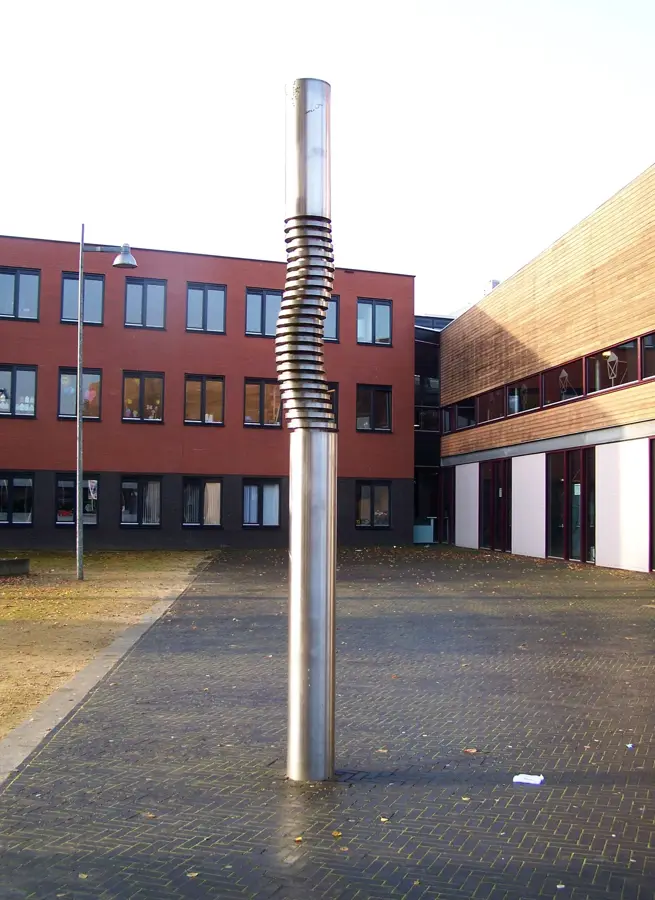
Collectie Hilversum🏛 museum
Museum in Hilversum with a collection on city history.
Regenboogkerk
Church building in Hilversum, Netherlands, modern architecture.
Theater Gooiland
Theatre in Hilversum hosting concerts and stage plays.
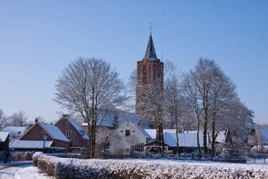
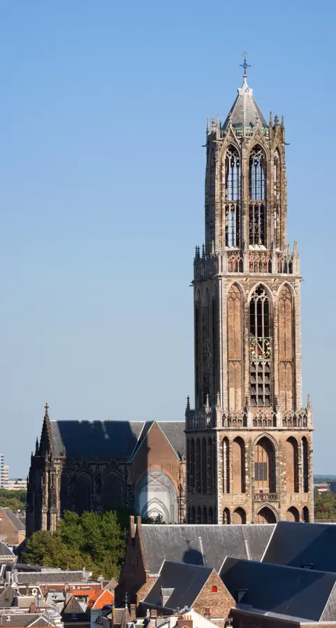
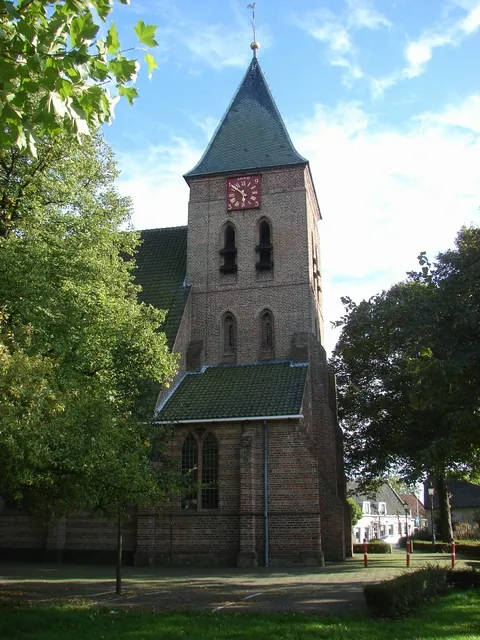
Sint-Vituskerk
Church building in Hilversum, Netherlands, a Catholic church.
Costerustuin
Museum in Hilversum, Netherlands, located in a garden.
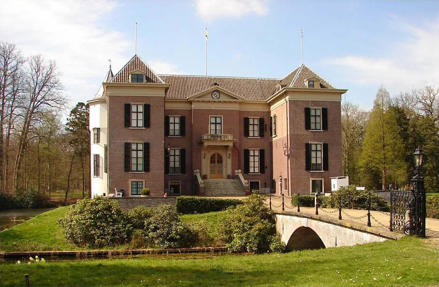
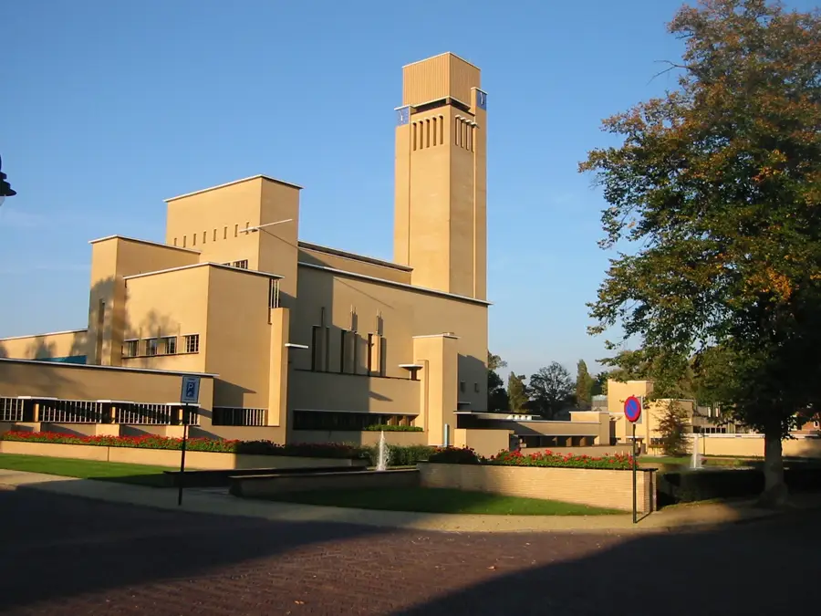
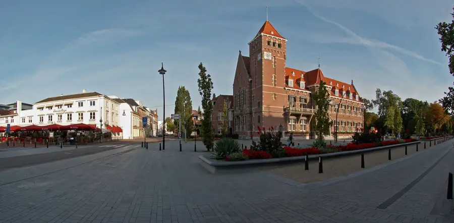
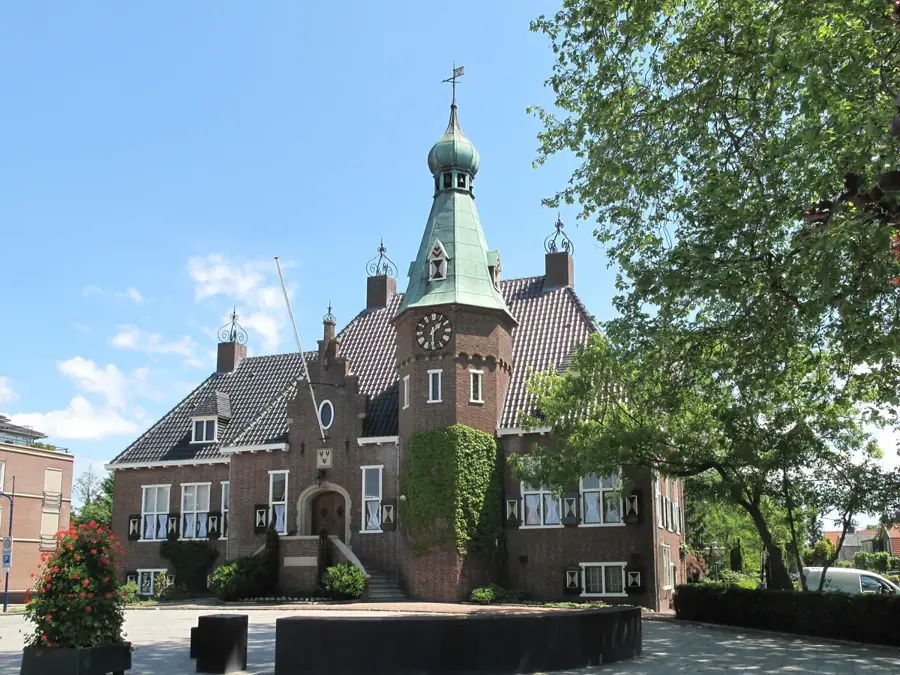
Raadhuis Hilversum
Public building in Hilversum, Netherlands, the town hall.
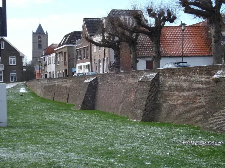
Sights nearby
Frequently asked questions
What is the Goois Natuurreservat?
Are there viewpoints there?
Is Hilversum easily accessible by train?
Can you hike in the reserve?
Are there cafes there?
Hilversum Moraine Ridge: where is it located?
Hilversum Moraine Ridge: what is there to see?
Hilversum Moraine Ridge: when is the best time to visit?
Hilversum Moraine Ridge: why is it worth visiting?

Nearby cities
History & landmarks
Nature
More places