Plizio Visual Lab
Vaalserberg
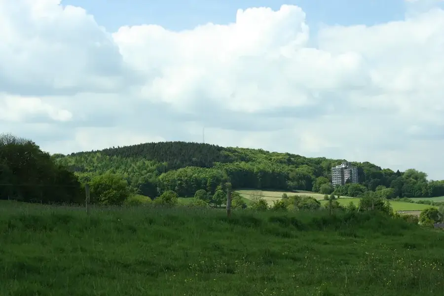
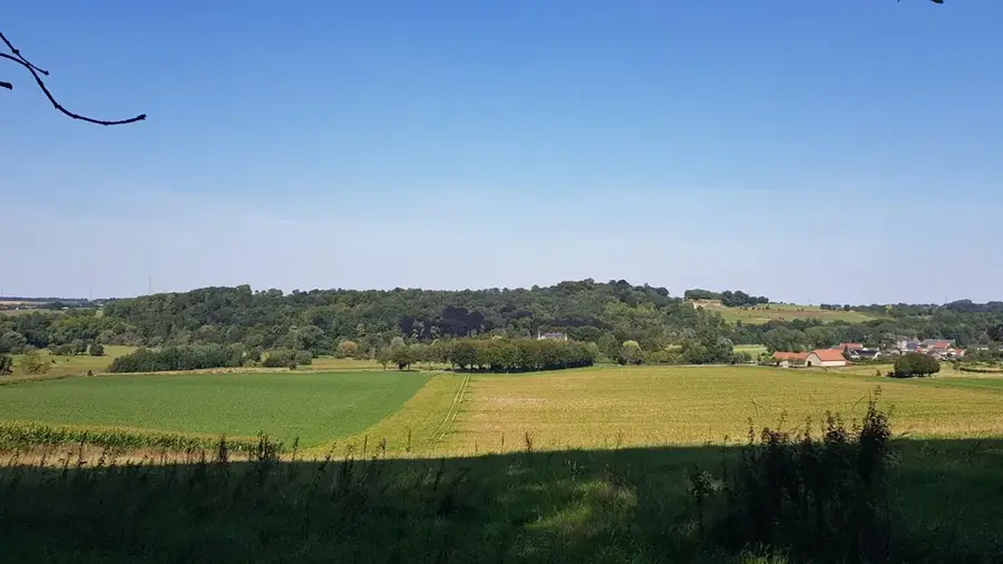
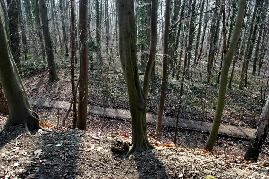
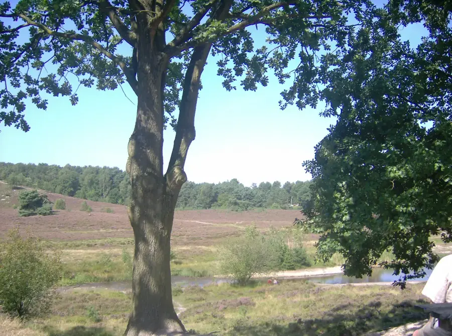
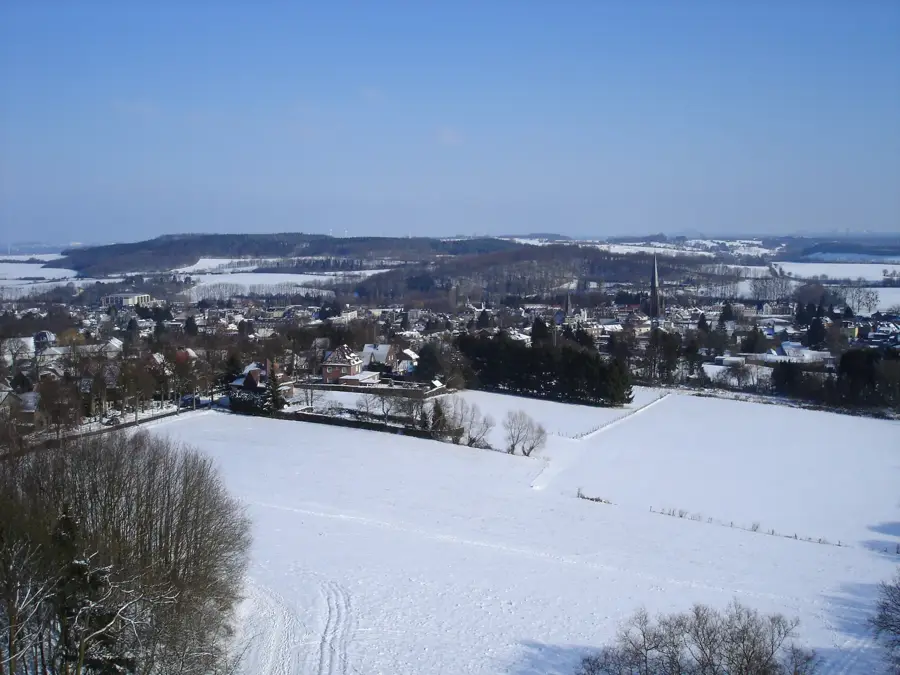
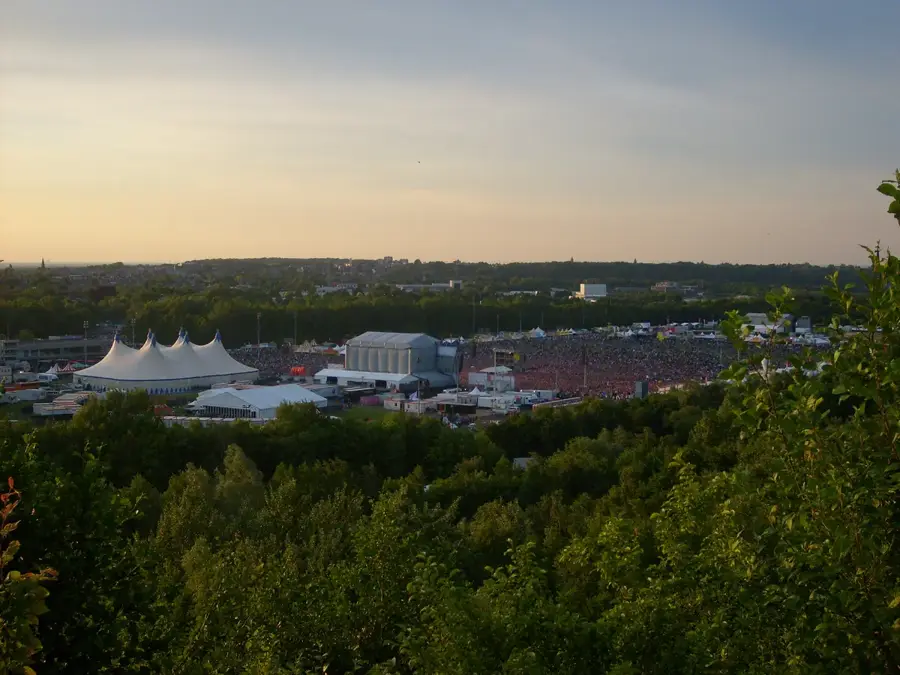
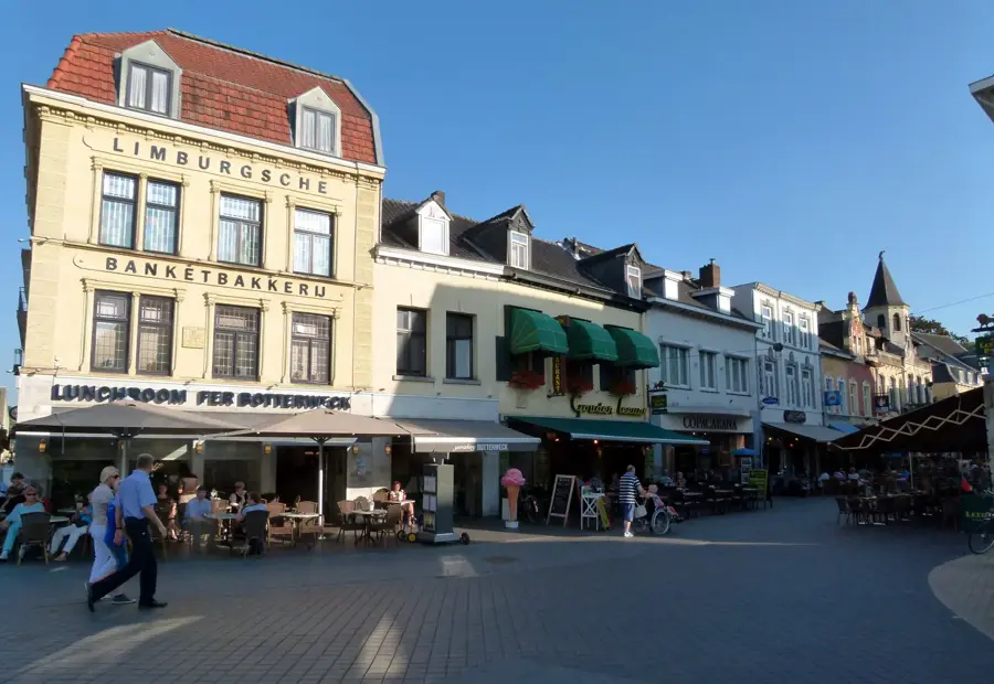
The Vaalserberg, with an altitude of 322.4 meters above Amsterdam Ordnance Datum, is the highest point in the mainland part of the Netherlands. It is located in the far south of the province of Limburg, right on the border with Germany and Belgium, making it the famous tripoint. Historically, between 1816 and 1920, the mountain was even a quadripoint as it bordered the neutral territory of Neutral-Moresnet. At the summit, there are two observation towers: the Wilhelmina Tower on the Dutch side and the Boudewijn Tower on the Belgian side, offering a wide panoramic view over the Eifel and the Ardennes. The geology of the mountain consists mainly of chalk rock covered with flint-free loess, which is typical for the region. Besides its geographical significance, the Vaalserberg is a popular tourist destination featuring a labyrinth, various restaurants, and numerous hiking trails. Hundreds of thousands of people visit this symbolic location annually to stand in three countries simultaneously at the border stone.
- Location: Limburg, Netherlands
- Top sights: Lauschinsel · Grenzgänger · Wilhelminatoren
- Nearby: Slenaken (11 km)
Best time to visit & climate
The most pleasant time to visit is Jun–Aug.
| Jan | Feb | Mar | Apr | May | Jun | Jul | Aug | Sep | Oct | Nov | Dec | |
|---|---|---|---|---|---|---|---|---|---|---|---|---|
| Avg °C | 2 | 3 | 6 | 10 | 14 | 17 | 19 | 19 | 15 | 11 | 6 | 3 |
| Rain mm | 66 | 59 | 56 | 42 | 61 | 65 | 73 | 78 | 53 | 58 | 65 | 71 |
📋 Practical info
Geography
Facts
- The official height of the Vaalserberg was confirmed in 2010 as 322.4 meters.
- From 1816 to 1920, a quadripoint existed here with Neutral-Moresnet.
- The Wilhelmina Tower features a glass floor for a direct view into the depth.
- The labyrinth at Vaalserberg is the largest outdoor hedge labyrinth in the Netherlands.
- The Vaalserberg is part of the Heuvelland plateau in South Limburg.
- The border stone at the tripoint is a listed historical object.
Explore nearby
Notable places around
Route planner — Car & Motorhome
Where do you start? We build the route here, with stops and country notes along the way.
© OpenStreetMap contributors · OpenRouteService
Sights in the town Vaalserberg (10)
Das Bodenfenster
Ground window offering a view into the depths.
König Baudoin Turm
Viewing tower on the Vaalserberg.
Tour Baudouin🗼 tower
Viewing tower, Vaalserberg, in Plombières-Kelmis, Belgium.
Vaalserberg
Mountain at the border of Belgium, Germany, and the Netherlands.
Kleng Wach🏛 museum
Smallest and highest museum in the Netherlands.
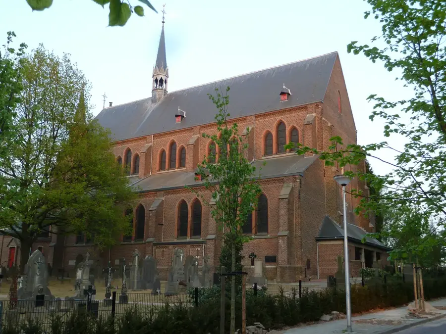
Protestantse Kerk
Protestant church in the area.
Sights nearby
Frequently asked questions
What is the Three-Country Point?
Is the Vaalserberg the highest mountain in the Netherlands?
Is there a maze there?
Can you enjoy the view?
Are there playgrounds?
Vaalserberg: where is it located?
Vaalserberg: what is there to see?
Vaalserberg: when is the best time to visit?
Vaalserberg: why is it worth visiting?

Nearby cities
History & landmarks
More places