Plizio Visual Lab
Herve Plateau East
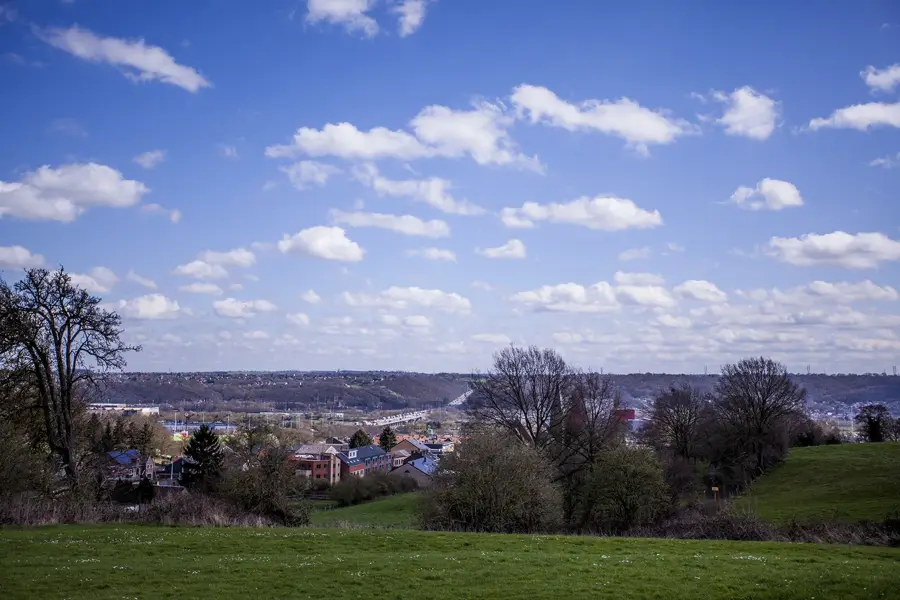
The Herve Plateau East is a gently undulating upland area in the eastern part of the Liège province, geologically defined by its limestone and chalk subsoils topped with fertile loess deposits. The landscape is characterized by its unique 'bocage' relief, where small grazing pastures are partitioned by dense hedgerows and traditional orchards. This structural layout not only provides vital shelter from the wind for livestock but also serves as a critical ecological habitat for local wildlife. The plateau typically sits between 200 and 350 meters above sea level and is drained by numerous small streams that have carved distinct valleys into the soft ground. Economically, the region is internationally famous for its dairy production and the distinctive Herve cheese, which derives its flavor from the high-quality pastures. Historically, the eastern plateau served as a strategic buffer zone for the Fortified Position of Liège, as evidenced by several nearby forts. Today, it is a favored destination for agrotourism, offering an extensive network of trails through a well-preserved cultural landscape.
- Location: Belgium
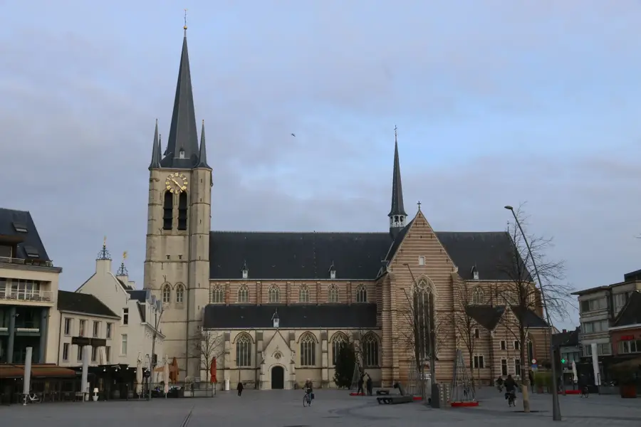
- Top sights: Chapelle Saint-Sauveur · Ferme du château de Clermont · Remember 39-45
- Nearby: Verviers (7 km)
Best time to visit & climate
The most pleasant time to visit is Jun–Aug.
| Jan | Feb | Mar | Apr | May | Jun | Jul | Aug | Sep | Oct | Nov | Dec | |
|---|---|---|---|---|---|---|---|---|---|---|---|---|
| Avg °C | 0 | 0 | 4 | 8 | 12 | 15 | 17 | 17 | 13 | 9 | 5 | 1 |
| Rain mm | 86 | 76 | 72 | 53 | 77 | 79 | 84 | 91 | 66 | 70 | 78 | 90 |
📋 Practical info
Geography
Facts
- The highest point of the plateau reaches approximately 354 meters near Battice.
- The fertile loess layer can reach thicknesses of up to 20 meters in some areas.
- Herve cheese has been the only Belgian product with a PDO status since 1996.
- Fort Battice, located on the plateau, was the site of heavy fighting in 1940.
- Roughly 10 percent of the land is still covered by traditional high-stem orchards.
- The region receives significantly higher rainfall than the lower-lying Flemish plains.
Explore nearby
Notable places around
Route planner — Car & Motorhome
Where do you start? We build the route here, with stops and country notes along the way.
© OpenStreetMap contributors · OpenRouteService
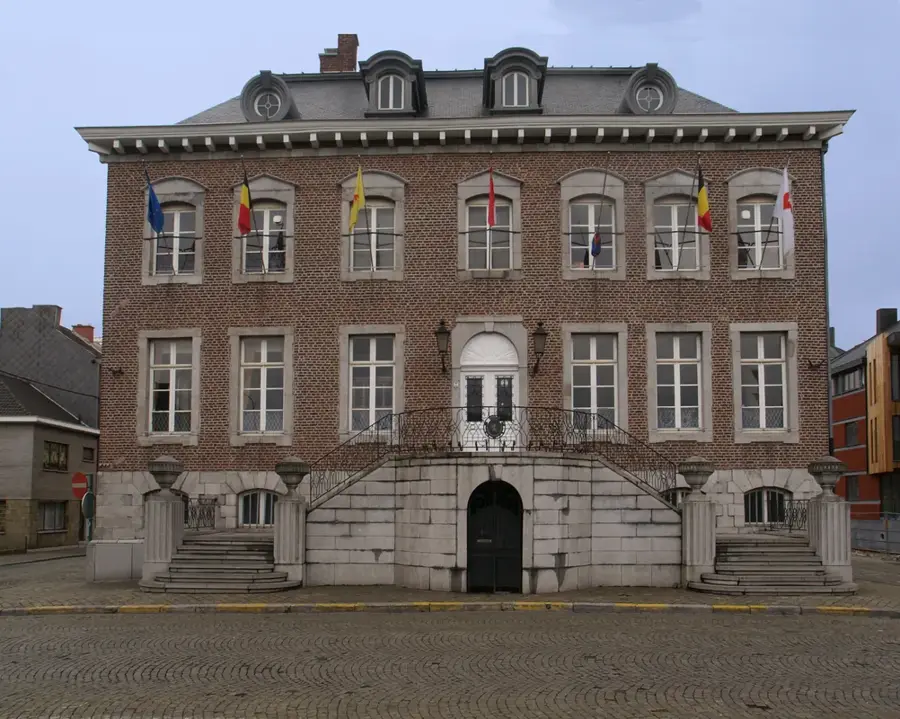
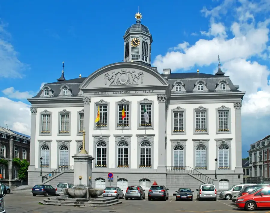
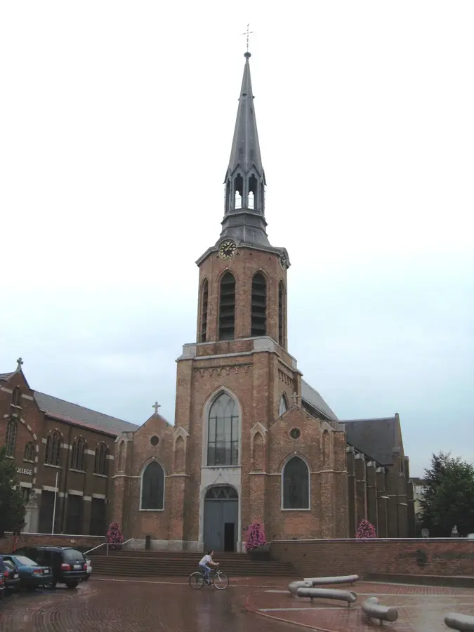
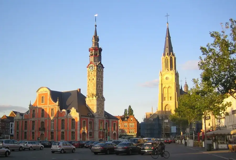
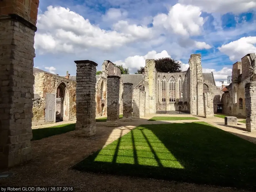
Sights in the town Herve Plateau East (8)
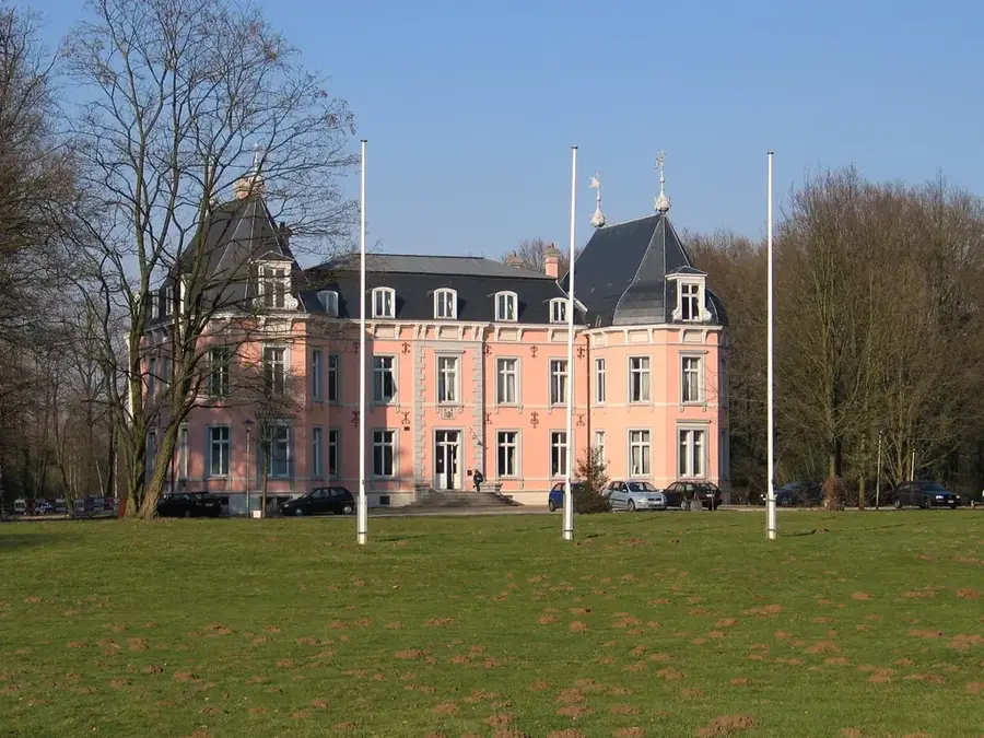
Château de Villers🏰 castle
Castle in the Herve region of Belgium.
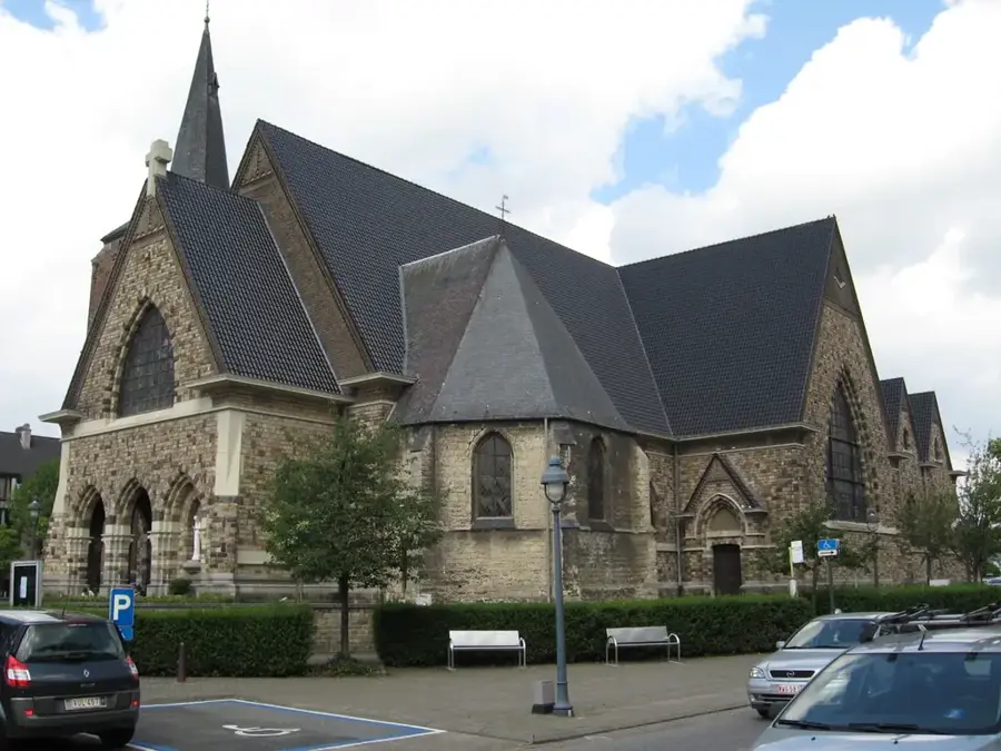
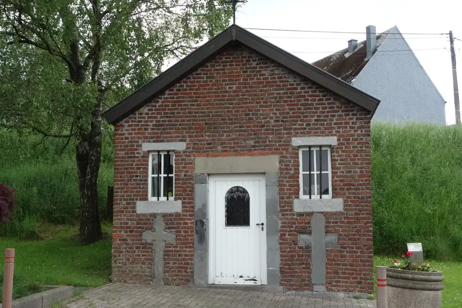
Chapelle Saint-Roch
Chapel dedicated to Saint Roch on the Herve Plateau.
Chapelle Sainte-Anne
Chapel dedicated to Saint Anne on the Herve Plateau.
Château de Crawhez🏰 castle
Castle in the municipality of Herve, Belgium.
Pays de Herve
Viewpoint overlooking the rolling hills of the Pays de Herve.
Sights nearby
Frequently asked questions
What makes the landscape of the Herve Plateau special?
What culinary specialty comes from here?
Which village on the plateau is considered one of the most beautiful?
Are there cycle paths on old railway lines?
Which abbey can be visited nearby?
Herve Plateau East: where is it located?
Herve Plateau East: what is there to see?
Herve Plateau East: when is the best time to visit?
Herve Plateau East: why is it worth visiting?

Nearby cities