Plizio Visual Lab
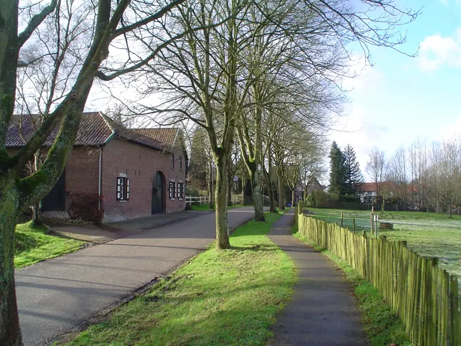
Sint-Pietersberg Plateau
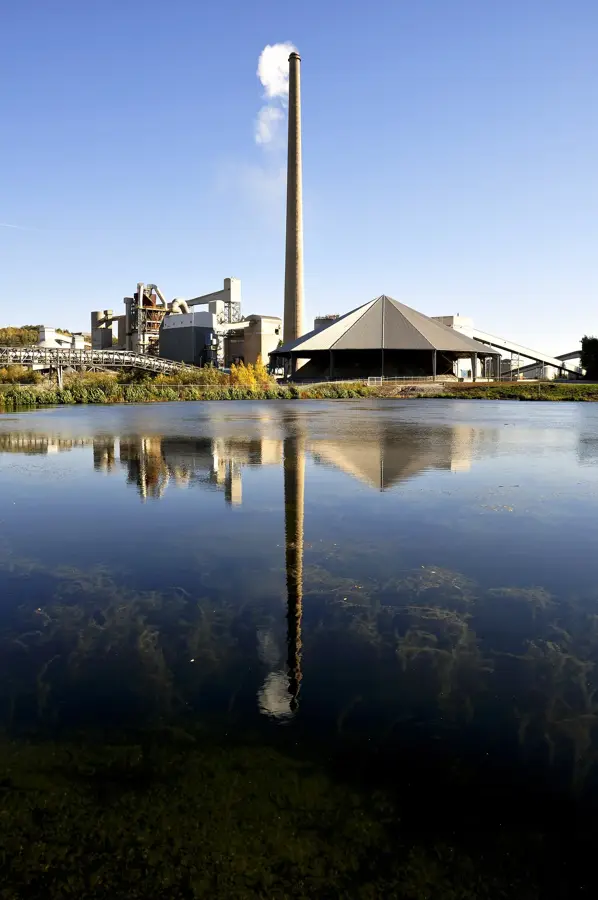
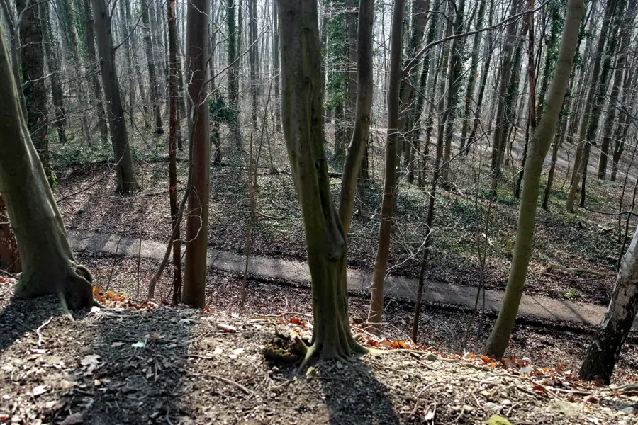
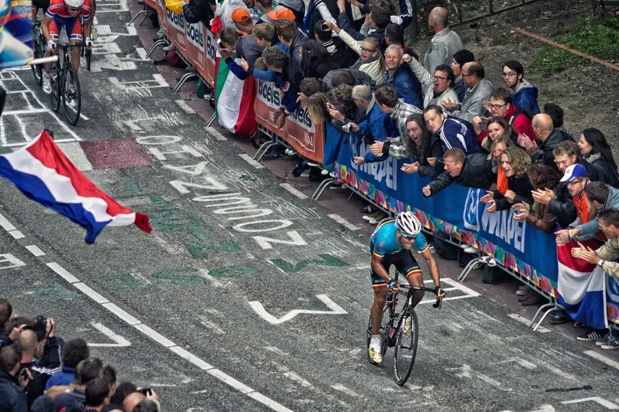
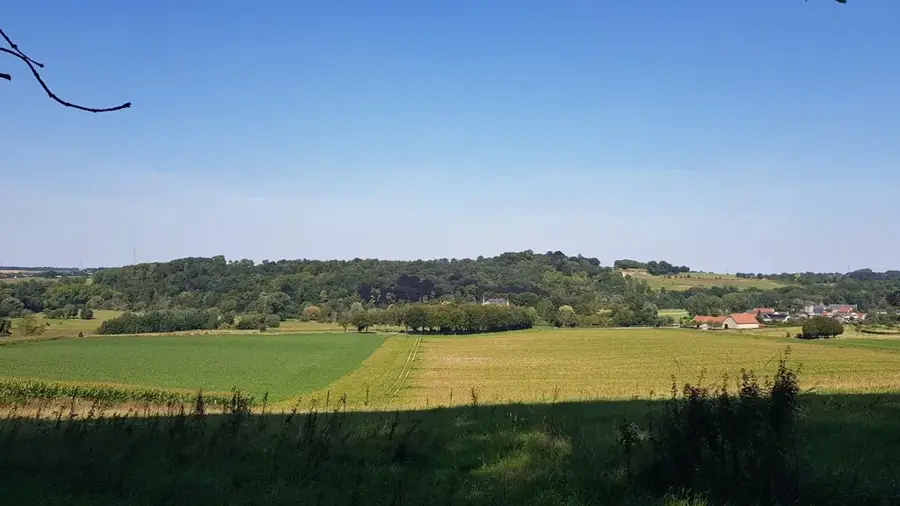
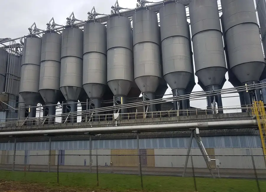
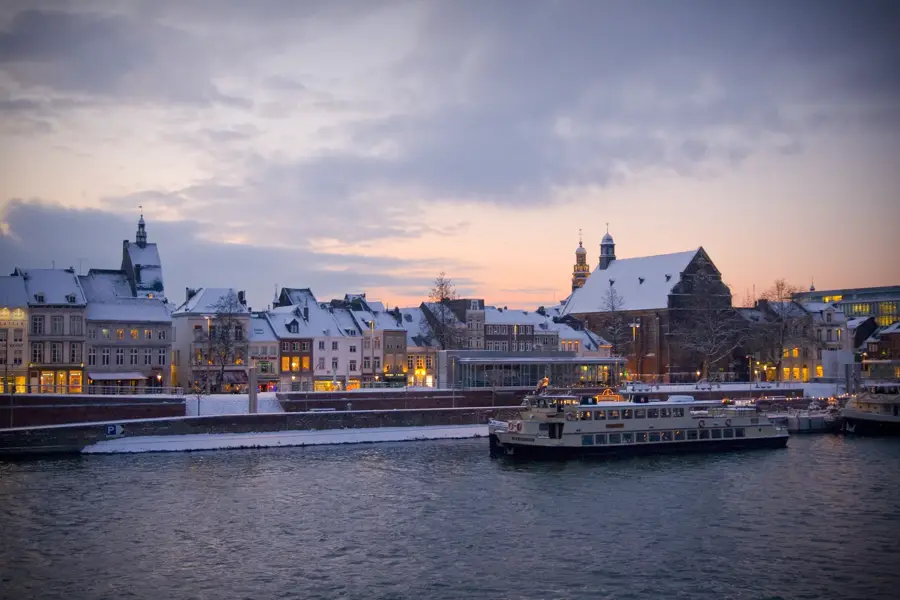
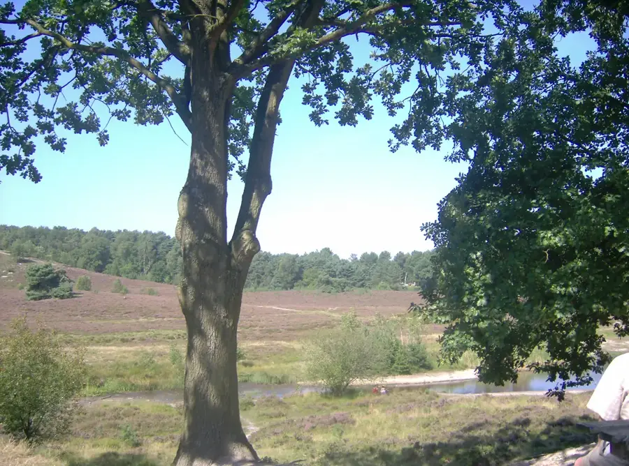
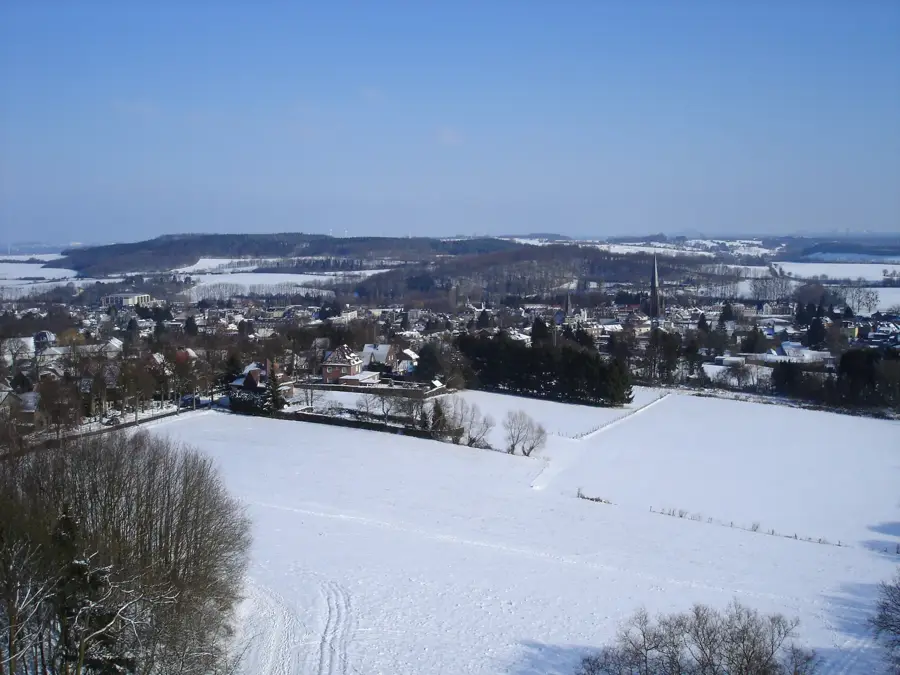
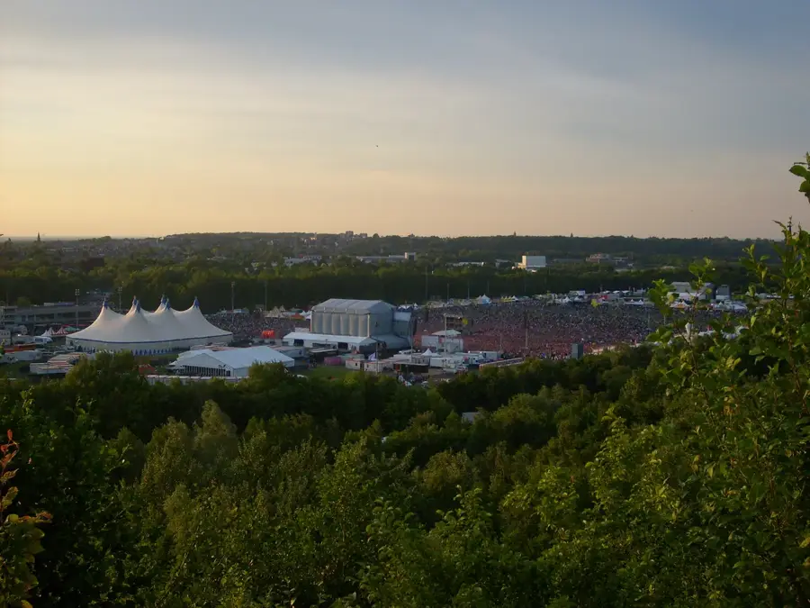
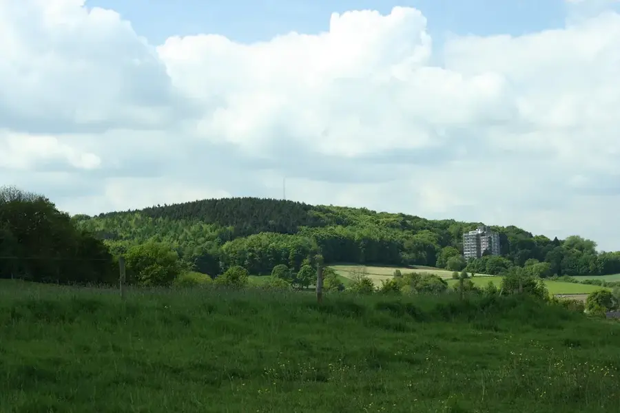
The Sint-Pietersberg Plateau south of Maastricht is a unique geological and historical monument on the border with Belgium. Reaching a maximum elevation of approximately 171 meters, it consists almost entirely of Cretaceous marl, which was extracted over centuries in underground quarries. This created a labyrinthine tunnel system stretching over 200 kilometers, serving as a refuge for the local population during times of war. On the plateau stands the historic Fort Sint Pieter, built in the 18th century to defend the city of Maastricht from attacks. Geologically, the site is world-famous for the discovery of Mosasaur fossils in the late 18th century, which significantly advanced the field of paleontology. Today, the area is a major nature reserve where, following the decommissioning of the ENCI quarry, new biotopes have emerged for rare flora and fauna. It also marks the southern terminus of the famous Pieterpad hiking trail.
- Location: Limburg, Netherlands
- Top sights: D'n Observant · Zuidelijk stelsel, schacht · Sint Pietersberg & Jekerdal
- Nearby: Slenaken (14 km)
Best time to visit & climate
The most pleasant time to visit is Jun–Aug.
| Jan | Feb | Mar | Apr | May | Jun | Jul | Aug | Sep | Oct | Nov | Dec | |
|---|---|---|---|---|---|---|---|---|---|---|---|---|
| Avg °C | 2 | 3 | 6 | 10 | 14 | 17 | 19 | 19 | 15 | 11 | 6 | 3 |
| Rain mm | 70 | 62 | 57 | 42 | 61 | 65 | 74 | 80 | 54 | 61 | 68 | 77 |
📋 Practical info
Geography
Facts
- The plateau reaches a maximum elevation of approximately 171 meters.
- A 200-kilometer labyrinth of marl tunnels lies beneath the hill.
- Fort Sint Pieter was constructed in 1701 for defensive purposes.
- The first Mosasaur fossil was discovered here in 1770.
- The site marks the end of the 498-kilometer-long Pieterpad trail.
- The former ENCI quarry is now being restored as a nature reserve.
Explore nearby
Notable places around
Route planner — Car & Motorhome
Where do you start? We build the route here, with stops and country notes along the way.
© OpenStreetMap contributors · OpenRouteService
Sights in the town Sint-Pietersberg Plateau (10)
Carrière de Caster
Underground quarry in the Sint-Pietersberg, located in Belgium.
Caveau du château
Quarry near Castle Caestert in Belgium.
Hoogtenederzetting Plateau van Caestert
Large hillfort from the Iron Age and early Roman period (c. 250-31 BC).
Ruïne Lichtenberg🏰 castle
Castle ruins on the Sint-Pietersberg, remnants of a medieval fortress.
De Maasplassen Naaktstrand
Nudist beach by the Maasplassen lakes, for sunbathing and swimming.
Motte De Tombe
Medieval motte-and-bailey castle near Maastricht.
Sights nearby
Frequently asked questions
What is Sint-Pietersberg?
Can you visit the caves?
What is Fort Sint Pieter?
Is there a quarry there?
What is the Pieterpad?
Sint-Pietersberg Plateau: where is it located?
Sint-Pietersberg Plateau: what is there to see?
Sint-Pietersberg Plateau: when is the best time to visit?
Sint-Pietersberg Plateau: why is it worth visiting?

Nearby cities
History & landmarks
Nature
More places