Plizio Visual Lab
Geul Valley

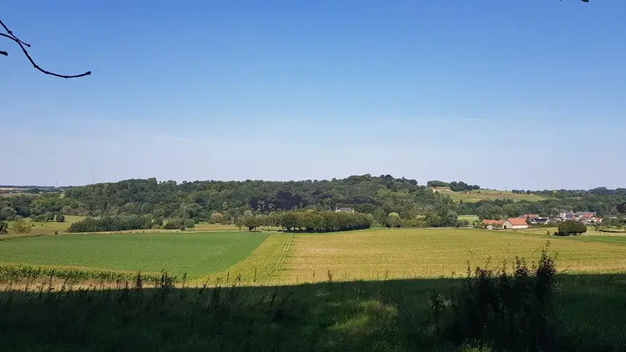
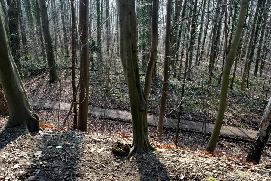
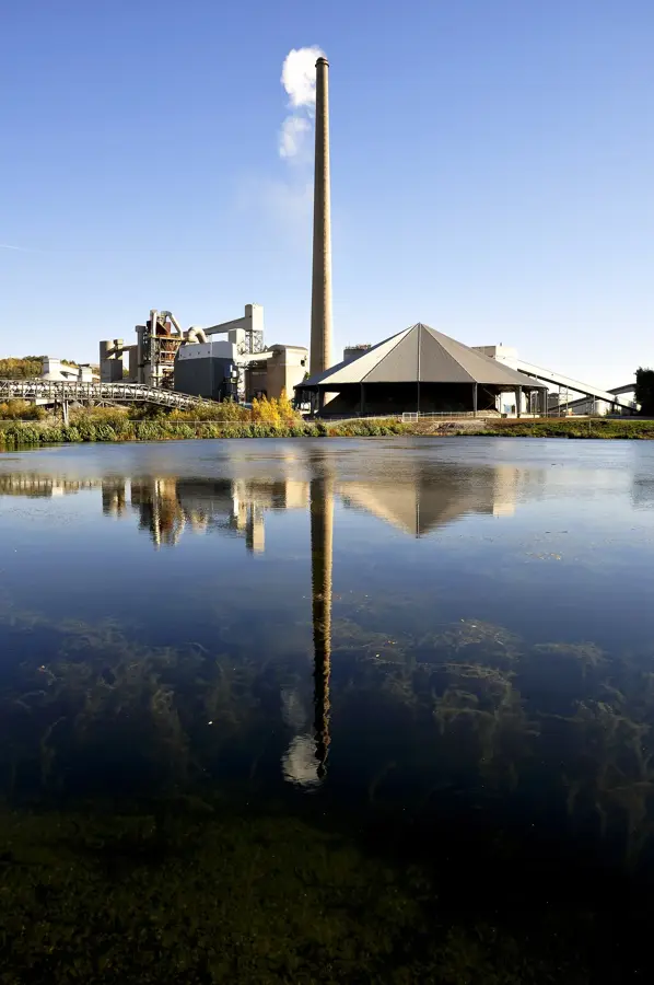
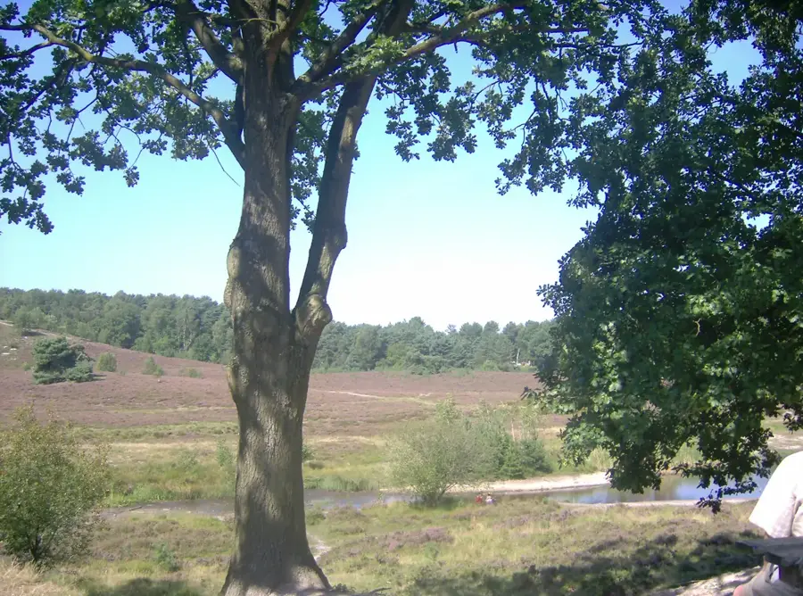
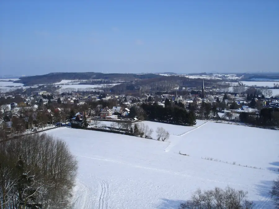
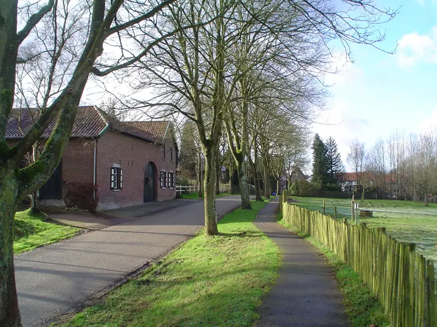
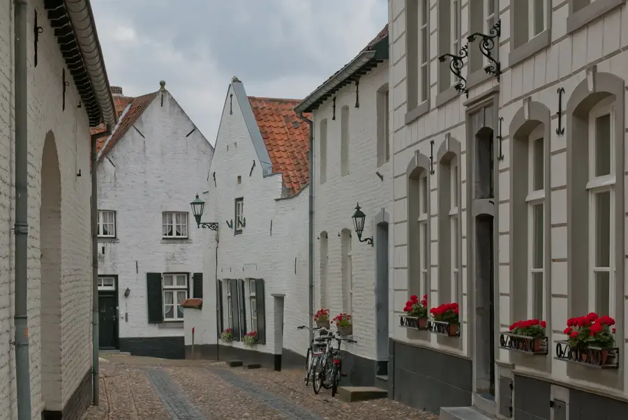
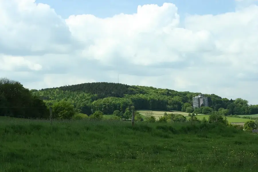
The Geul Valley in South Limburg is one of the most distinctive landscapes in the Netherlands, characterized by its rolling hills and meandering river. The Geul river, which originates in Belgium, flows for approximately 58 kilometers through the region's chalky terrain. The valley is renowned for its diverse flora and fauna, notably the rare zinc-tolerant flora such as the yellow calamine violet, which thrives on metal-rich soils. Historically, the area was shaped by mining and agriculture, leading to a unique cultural landscape featuring half-timbered houses and historic watermills. Today, the Oude Geulvallei serves as a vital nature reserve, crisscrossed by hiking trails and providing habitat for kingfishers, beavers, and grey wagtails. The geological formations dating back to the Cretaceous period are frequently visible along steep riverbanks, making the valley a significant destination for naturalists and geologists.
- Location: Limburg, Netherlands
- Top sights: Van Tienhovenmolen · Meertensgroeve · Sibberhuuske
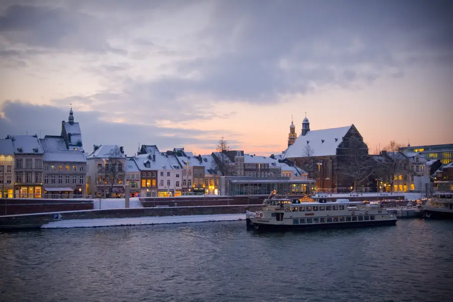
- Nearby: Maastricht (8 km)
Best time to visit & climate
The most pleasant time to visit is Jun–Aug.
| Jan | Feb | Mar | Apr | May | Jun | Jul | Aug | Sep | Oct | Nov | Dec | |
|---|---|---|---|---|---|---|---|---|---|---|---|---|
| Avg °C | 2 | 3 | 6 | 10 | 14 | 17 | 19 | 19 | 15 | 11 | 6 | 3 |
| Rain mm | 66 | 59 | 56 | 42 | 61 | 65 | 73 | 78 | 53 | 58 | 65 | 71 |
📋 Practical info
Geography
Facts
- The Geul river is approximately 58 km long, emptying into the Maas.
- Unique occurrence of the rare yellow calamine violet.
- Geological layers from the Cretaceous period (marl) are visible.
- Habitat for the European beaver since its successful reintroduction.
- The valley contains over 10 historic and functional watermills.
- The region is part of the South Limburg National Landscape.
Explore nearby
Notable places around
Route planner — Car & Motorhome
Where do you start? We build the route here, with stops and country notes along the way.
© OpenStreetMap contributors · OpenRouteService
Sights in the town Geul Valley (10)
Mergelrijk
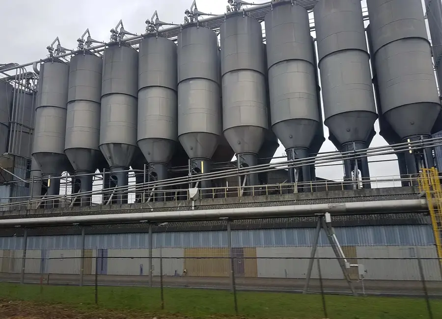
An experience center about marl, showing its extraction and the region's geology.
Steenkolenmijn Daalhemergroeve
A former quarry where coal was mined, now a geotope.
Geuldal
A nature reserve along the Geul river, with floodplain forests, meadows, and old quarries.
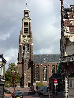
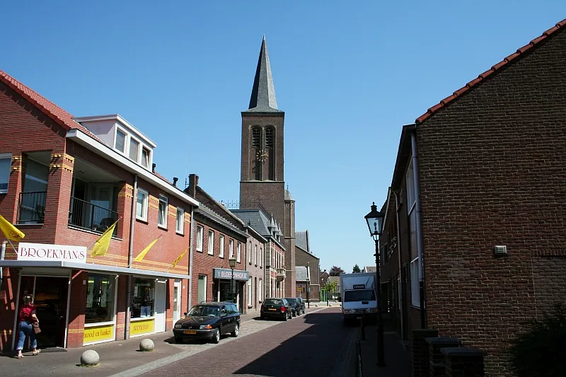
Sint-Rozakerk
A church in Sibbe, dedicated to Saint Rose, with a neo-Gothic tower.
Sint-Rozakapel
A chapel in Sibbe, dedicated to Saint Rose, a place for quiet reflection.
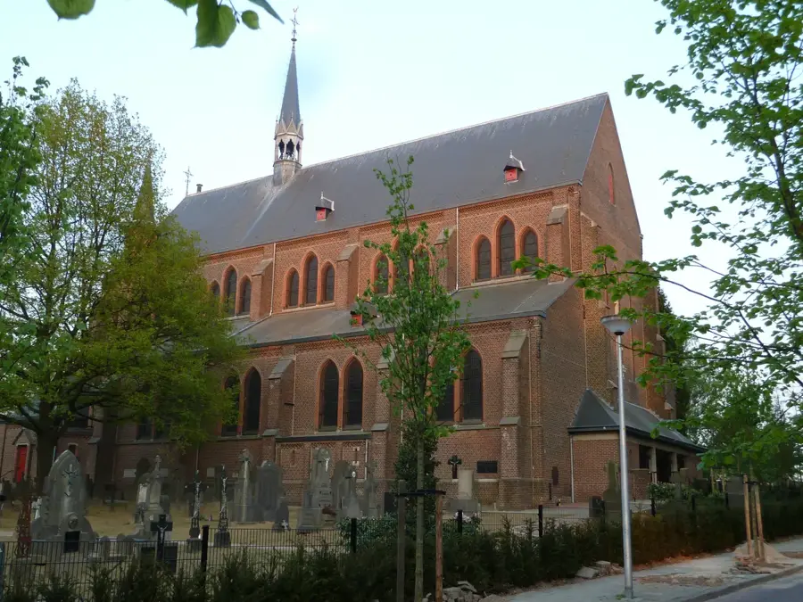
Sint-Gerlachuskerk
A church in Houthem, dedicated to Saint Gerlach, with Baroque interior.
Sights nearby
Frequently asked questions
Where is the Geul valley located?
What makes the landscape so special?
Can you go hiking there?
Are there castles there?
Are the paths suitable for bicycles?
Geul Valley: where is it located?
Geul Valley: what is there to see?
Geul Valley: when is the best time to visit?
Geul Valley: why is it worth visiting?

Nearby cities
History & landmarks
Nature
More places