Plizio Visual Lab
Sint-Pietersberg
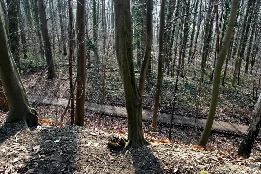
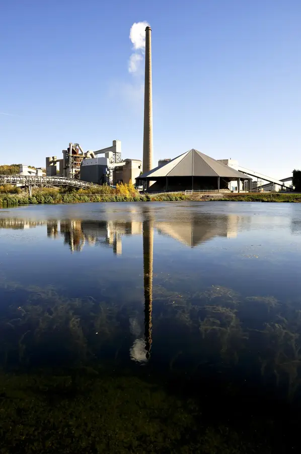
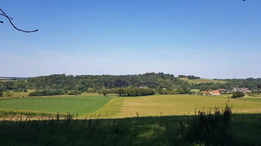
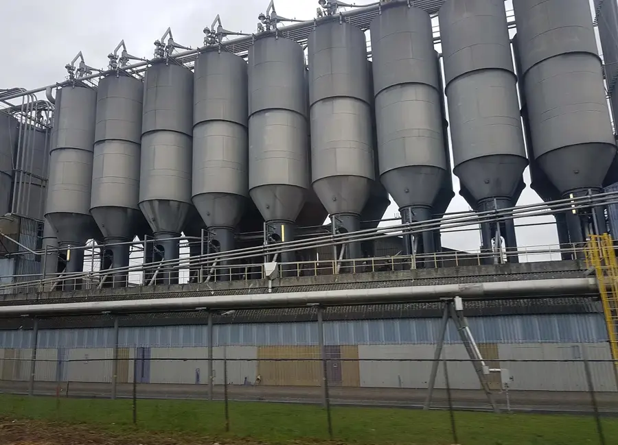
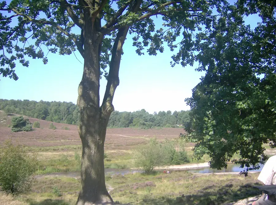
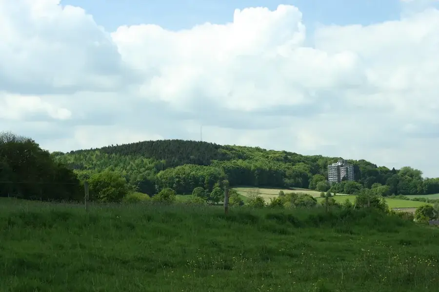
The Sint-Pietersberg is a prominent limestone ridge south of Maastricht, known for its rich history and vast underground cave system. The hill rises about 171 meters above sea level and consists primarily of soft limestone, also known as marl, which has been quarried as building material since the Middle Ages. This mining left behind a labyrinth of over 20,000 passages with a total length of approximately 80 kilometers, which served as a refuge during times of war. On the plateau of the hill lies Fort Sint Pieter, built in 1701, which was once erected to protect the city of Maastricht. Ecologically, the area is of great significance as the chalky soil favors a unique flora, including rare orchid species and a large colony of Eurasian eagle-owls. Part of the hill was heavily altered by the industrial marl quarrying of the ENCI factory, but today this area is being restored and is open to hikers. The Sint-Pietersberg also marks the official end of the famous Pieterpad, the longest long-distance hiking trail in the Netherlands.
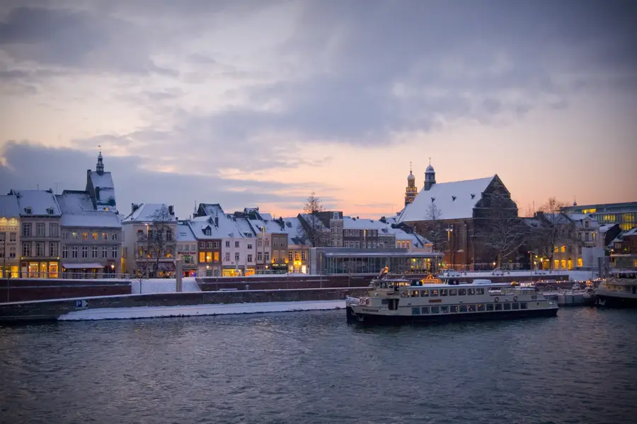
- Location: Limburg, Netherlands
- Top sights: Sint Pietersberg & Jekerdal · Motte De Tombe · Groeve de Schark
- Nearby: Slenaken (14 km)
Best time to visit & climate
The most pleasant time to visit is Jun–Aug.
| Jan | Feb | Mar | Apr | May | Jun | Jul | Aug | Sep | Oct | Nov | Dec | |
|---|---|---|---|---|---|---|---|---|---|---|---|---|
| Avg °C | 2 | 3 | 6 | 10 | 14 | 17 | 19 | 19 | 15 | 11 | 6 | 3 |
| Rain mm | 70 | 62 | 57 | 42 | 61 | 65 | 74 | 80 | 54 | 61 | 68 | 77 |
📋 Practical info
Geography
Facts
- The passage system of Sint-Pietersberg now covers approximately 80 kilometers in length.
- Fort Sint Pieter was built in 1701 on the highest point of the hill.
- Important artworks like 'The Night Watch' were hidden in the mountain during WWII.
- The Eurasian eagle-owl has been breeding successfully in the former quarries since 1998.
- The marl caves have a constant internal temperature of about 10 to 12 degrees Celsius.
- Sint-Pietersberg is the endpoint of the 498-kilometer long Pieterpad trail.
Explore nearby
Notable places around
Route planner — Car & Motorhome
Where do you start? We build the route here, with stops and country notes along the way.
© OpenStreetMap contributors · OpenRouteService
Sights in the town Sint-Pietersberg (10)
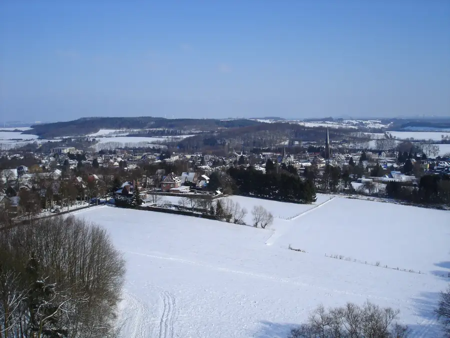
Kiekoet Oehoe-vallei
Viewpoint overlooking the valley.
Ruïne Lichtenberg🏰 castle
Castle ruins on the Sint-Pietersberg.
Grotten Zonneberg
Cave system on the Sint-Pietersberg.
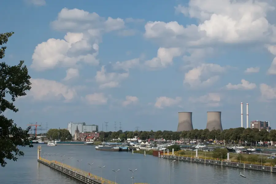
AINSI
Former industrial complex on the Meuse, now a hub for creative industries.
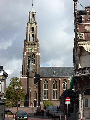
Sint-Antoniuskapel
Chapel of Slavante in Maastricht, Netherlands.
Slavante
Viewpoint on the Sint-Pietersberg.
Sights nearby
Frequently asked questions
What can you do at Sint-Pietersberg?
Can you enter the caves alone?
What is the Enci quarry?
Are there rare animals there?
How do you get there from Maastricht?
Sint-Pietersberg: where is it located?
Sint-Pietersberg: what is there to see?
Sint-Pietersberg: when is the best time to visit?
Sint-Pietersberg: why is it worth visiting?

Nearby cities
History & landmarks
Nature
More places