Plizio Visual Lab
Geulhemmerberg
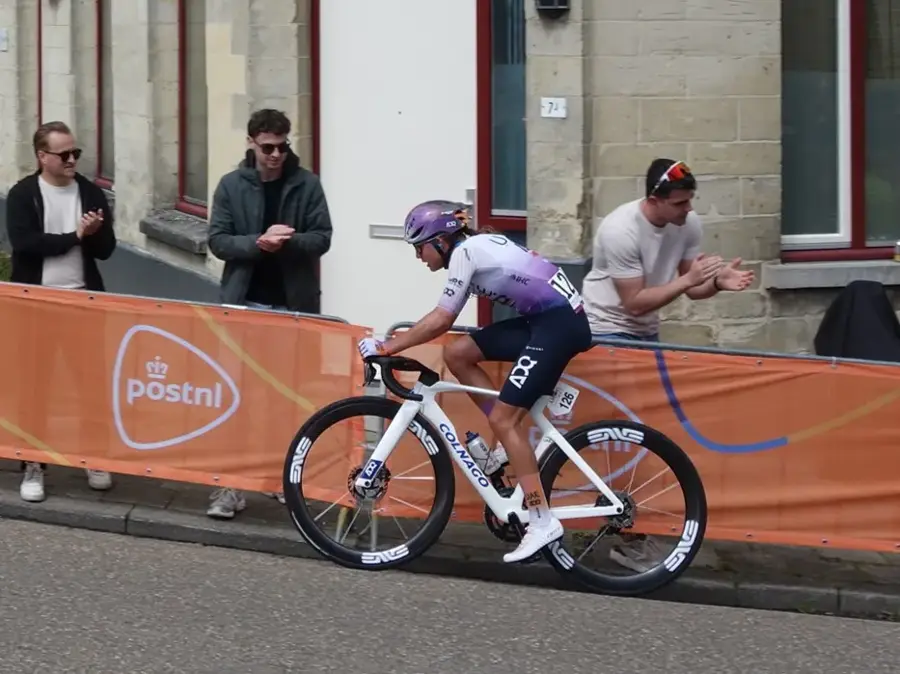
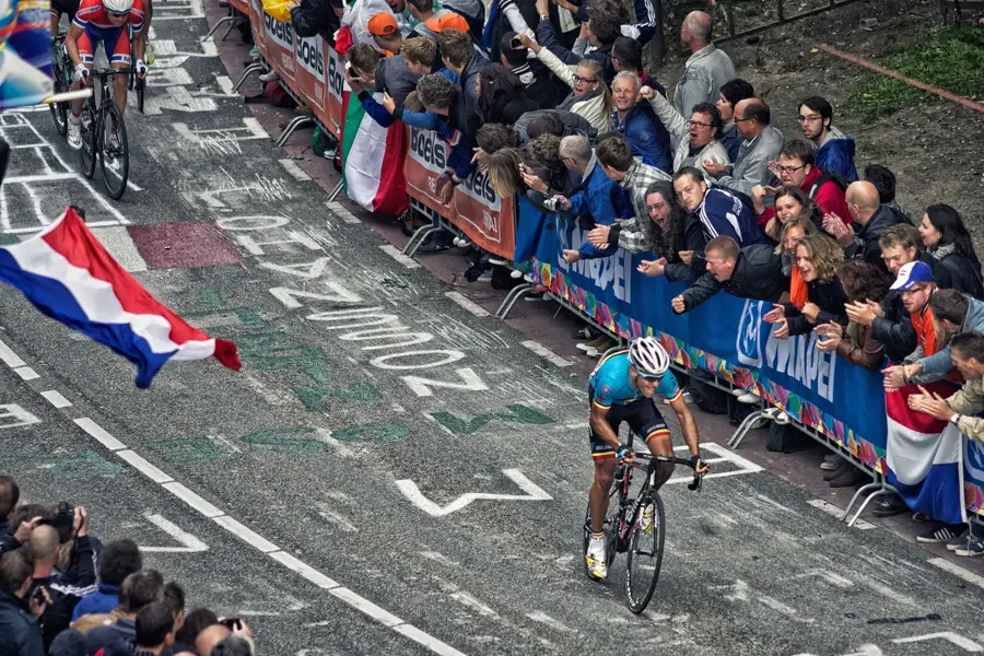
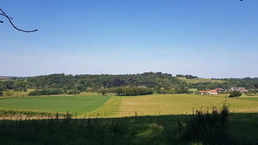
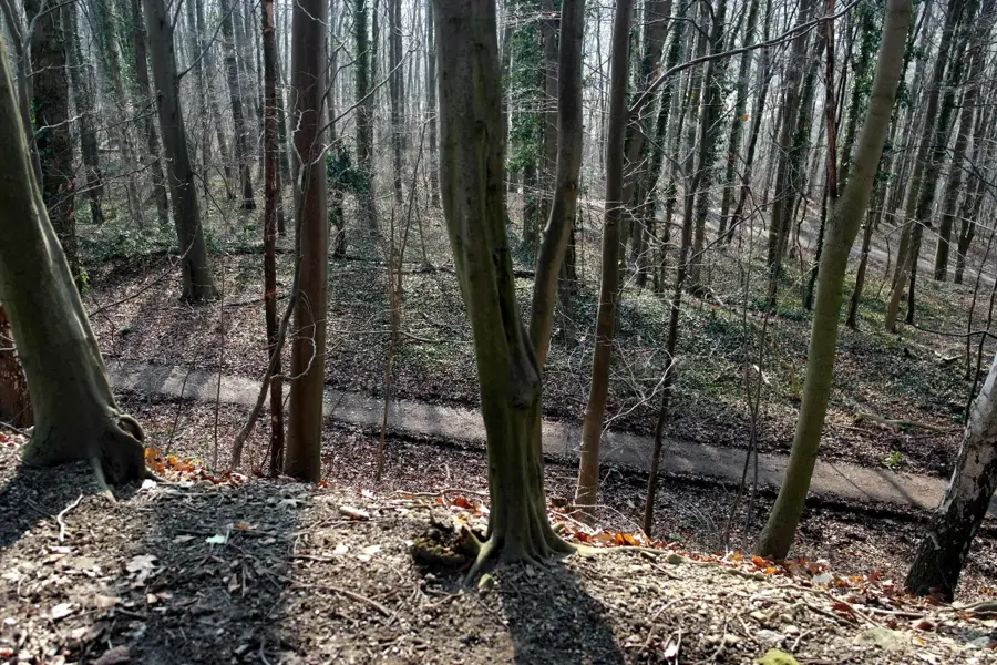
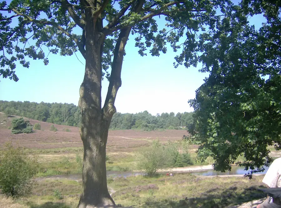
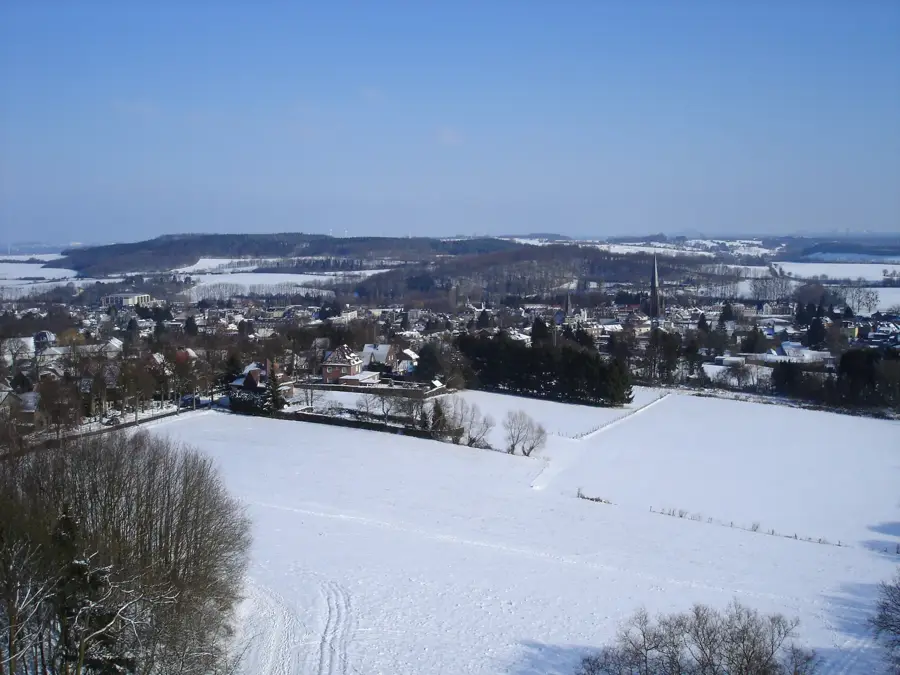
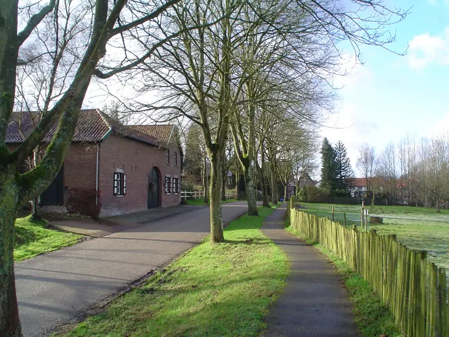
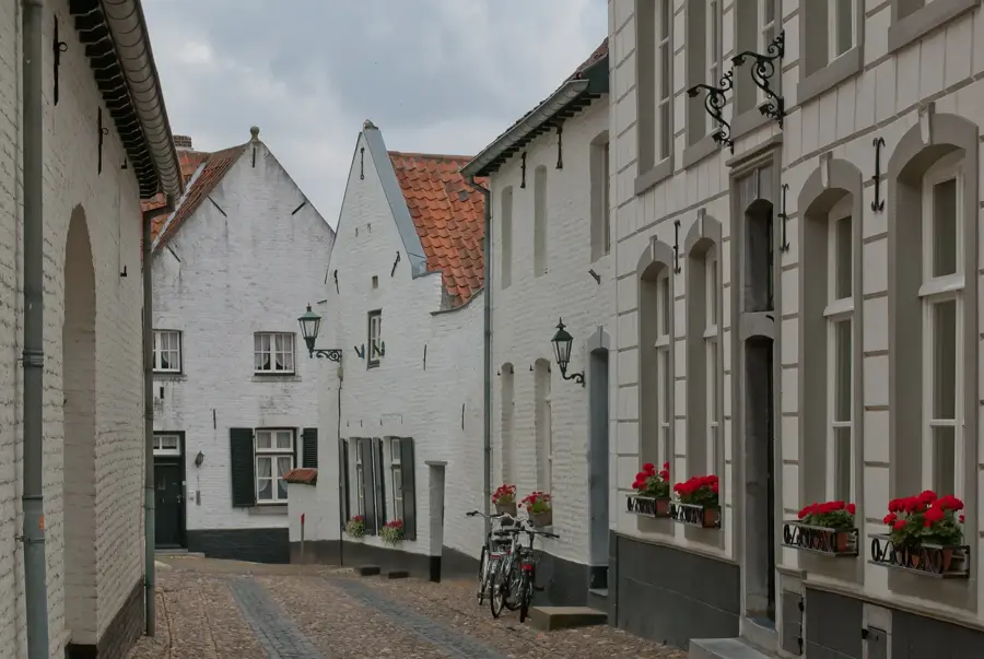
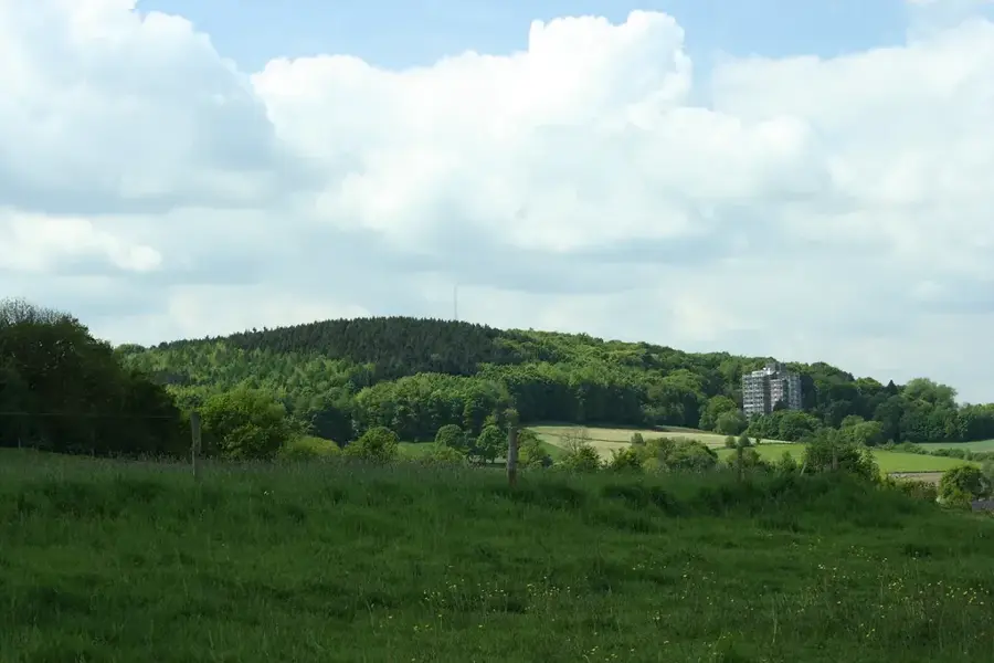
Geulhemmerberg is a well-known elevation in the Limburg hill country, situated between the villages of Geulhem and Berg en Terblijt. The hill is famous for its geological composition of marl, a soft limestone that was quarried underground for centuries. This resulted in an extensive network of subterranean tunnels known as the Geulhemmergroeve, which now hold significant historical and ecological value. A unique feature at the foot of the hill are the Geulhem cave dwellings, which were inhabited until the early 20th century and now operate as a museum. The surface of the hill is characterized by pastures and small wooded patches, offering hikers steep climbs and expansive views of the Geul valley. In the professional cycling world, Geulhemmerberg is a fixed and challenging feature of classics such as the Amstel Gold Race.
- Location: Limburg, Netherlands
- Top sights: Bemelerberg & Schiepersberg · Hoeve Sint Antoniusbank · Van Tienhovenmolen
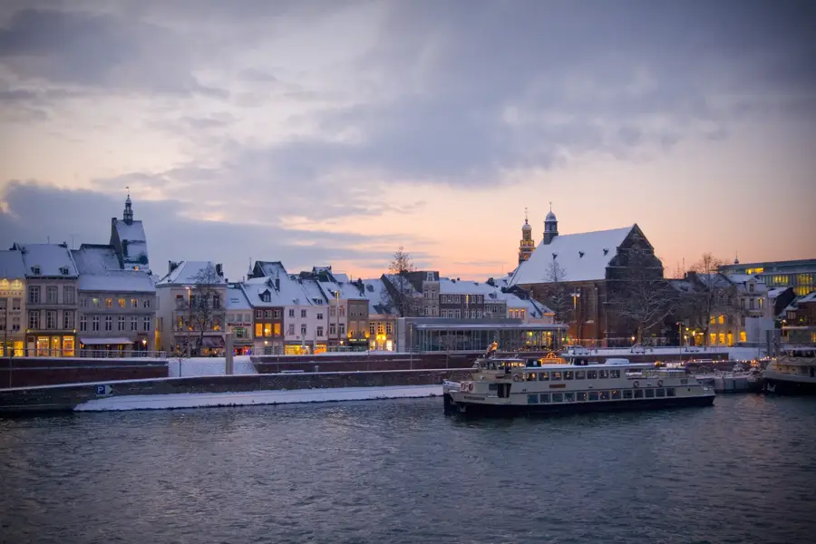
- Nearby: Maastricht (7 km)
Best time to visit & climate
The most pleasant time to visit is Jun–Aug.
| Jan | Feb | Mar | Apr | May | Jun | Jul | Aug | Sep | Oct | Nov | Dec | |
|---|---|---|---|---|---|---|---|---|---|---|---|---|
| Avg °C | 2 | 3 | 6 | 10 | 14 | 17 | 19 | 19 | 15 | 11 | 6 | 3 |
| Rain mm | 66 | 59 | 56 | 42 | 61 | 65 | 73 | 78 | 53 | 58 | 65 | 71 |
📋 Practical info
Geography
Facts
- The Geulhemmerberg climb has an average gradient of around 6%.
- The Geulhem cave dwellings are among the last of their kind in Europe.
- Underground quarries were used as shelters during World War II.
- The marl limestone dates back to the Maastrichtian stage of the Late Cretaceous.
- The tunnels maintain a constant temperature of about 10-12 degrees Celsius.
- It is a frequent inclusion in the UCI World Tour race Amstel Gold Race.
Explore nearby
Notable places around
Route planner — Car & Motorhome
Where do you start? We build the route here, with stops and country notes along the way.
© OpenStreetMap contributors · OpenRouteService
Sights in the town Geulhemmerberg (10)
Meertensgroeve
Viewpoint on the plateau above Geulhem, overlooking the Geul valley.
Geulhemermolen
Watermill on the Geul river, once used for grinding grain.
Kalkoven bij ingang Curfsgroeve
Historic lime kiln at the entrance of the Curfsgroeve quarry.
Lourdesgrot van het voormalige Missiehuis
Artificial cave with a statue of Mary at the former mission house in Cadier en Keer.
Sint-Martinuskapel
Chapel in the hamlet of Vroenhof, dedicated to Saint Martin.
Gerlachuskapel
Chapel in Houthem, dedicated to Saint Gerlach.
Sights nearby
Frequently asked questions
Where is the Geulhemmerberg located?
What are the cave dwellings?
Is the hill known among cyclists?
Are there marl caves there?
What can you see in the village of Geulhem?
Geulhemmerberg: where is it located?
Geulhemmerberg: what is there to see?
Geulhemmerberg: when is the best time to visit?
Geulhemmerberg: why is it worth visiting?

Nearby cities
History & landmarks
Nature
More places