Plizio Visual Lab
Kuiseb River
Weather…
Water temperature…
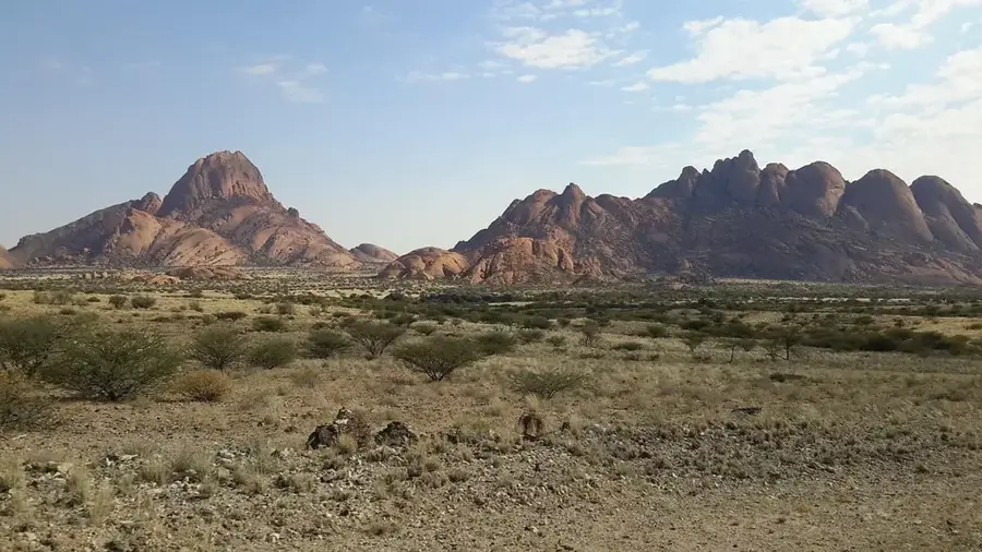
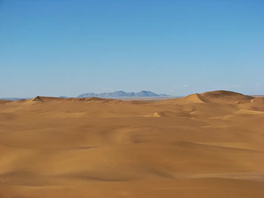
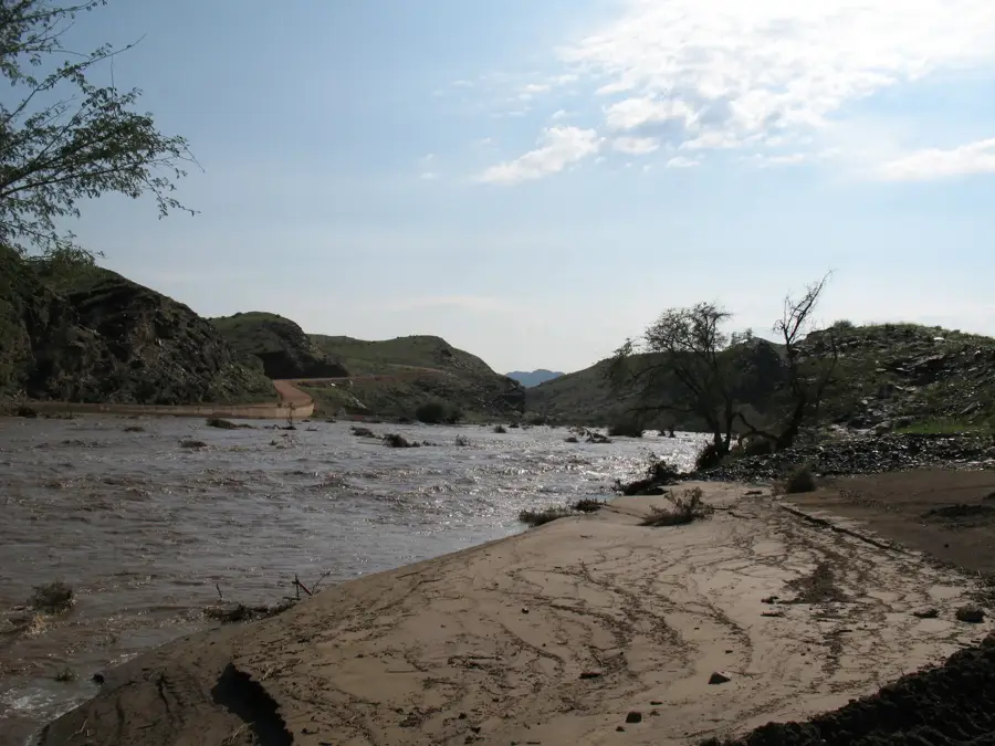
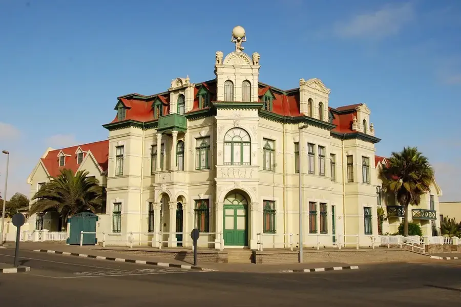
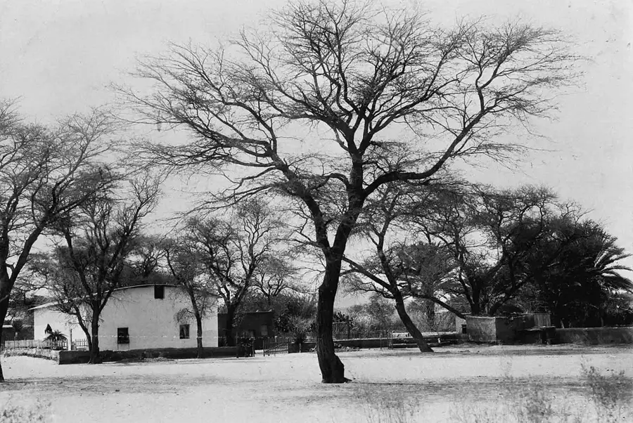
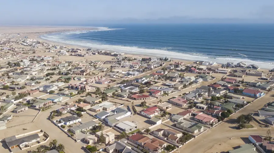
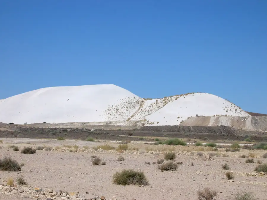
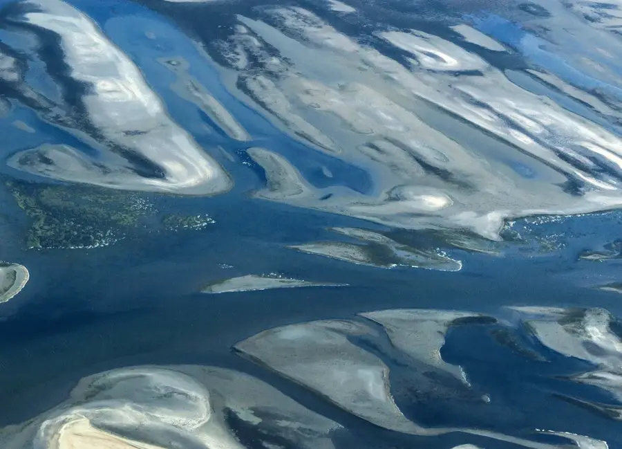
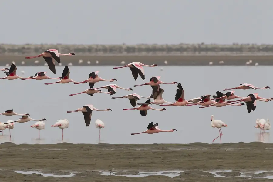
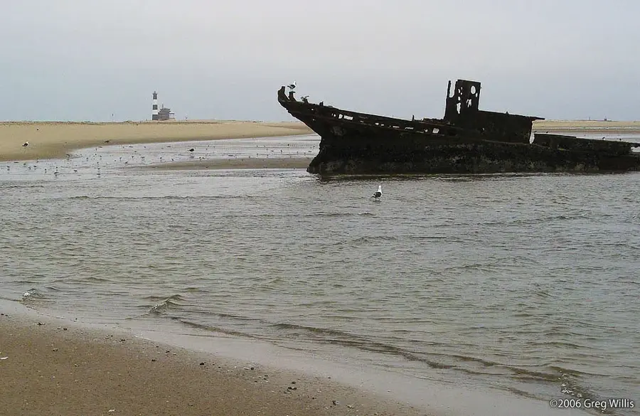
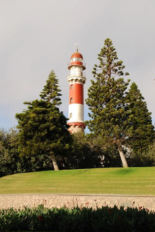
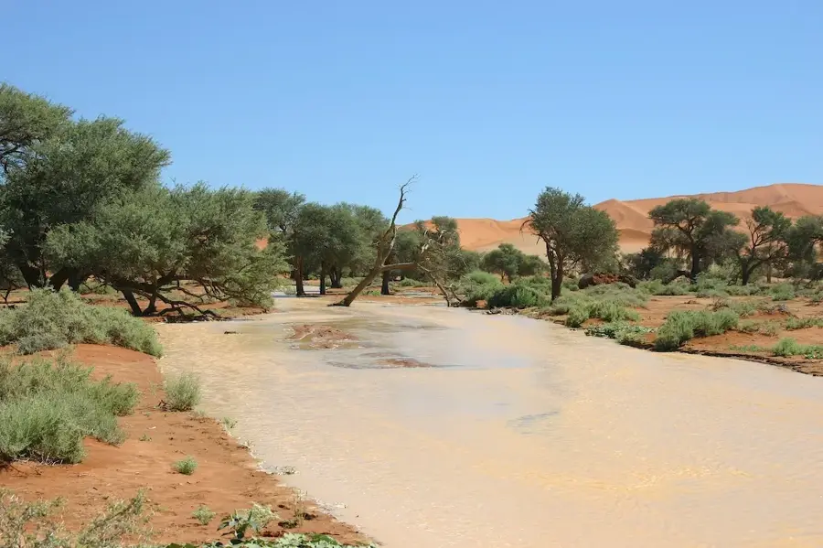
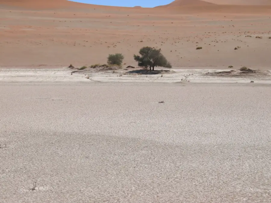
The Kuiseb River is one of Namibia's most significant ephemeral rivers, serving as a dramatic geographical boundary between the sea of red sand dunes to the south and the vast gravel plains to the north. Stretching over 560 kilometers from the Khomas Hochland to the Atlantic Ocean near Walvis Bay, the river rarely flows above ground. Its dry bed acts as a barrier that prevents the encroaching sand dunes of the Namib Desert from moving further north. Despite its surface appearing dry, a vast underground aquifer supports a lush green belt of vegetation, including camel thorn trees and wild figs, which provide essential resources for desert wildlife and the Topnaar people who live along its banks. The Kuiseb Canyon is a geologically rich formation carved by the river over millions of years. The river gained international fame through the story of Henno Martin and Hermann Korn, two German geologists who hid in the canyon for two years during World War II to avoid internment. Today, the Kuiseb remains a vital lifeline, supplying fresh water to the coastal towns of Walvis Bay and Swakopmund through a complex system of boreholes.
- Location: Namibia
- Nearby: Sandwich Harbour (59 km)
Best time to visit & climate
The most pleasant time to visit is May, Sep, Oct.
| Jan | Feb | Mar | Apr | May | Jun | Jul | Aug | Sep | Oct | Nov | Dec | |
|---|---|---|---|---|---|---|---|---|---|---|---|---|
| Avg °C | 23 | 24 | 25 | 24 | 22 | 19 | 19 | 18 | 21 | 22 | 23 | 23 |
| Rain mm | 7 | 18 | 15 | 15 | 1 | 1 | 0 | 0 | 1 | 2 | 4 | 4 |
📋 Practical info
Geography
Facts
- The Kuiseb River is 560 kilometers long and originates near Windhoek.
- It stops the northward migration of the Namib's sand dunes.
- The river basin covers an area of approximately 15,500 square kilometers.
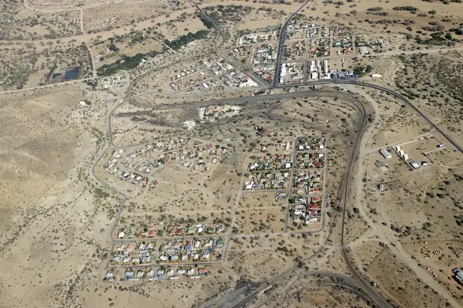
- The Topnaar people have lived along the Kuiseb for centuries.
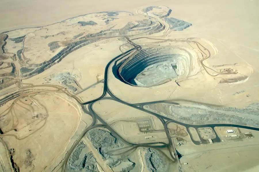
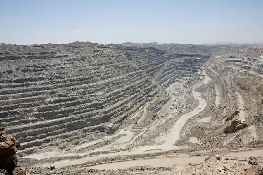
- Kuiseb water is piped to the Rössing Uranium Mine and coastal towns.
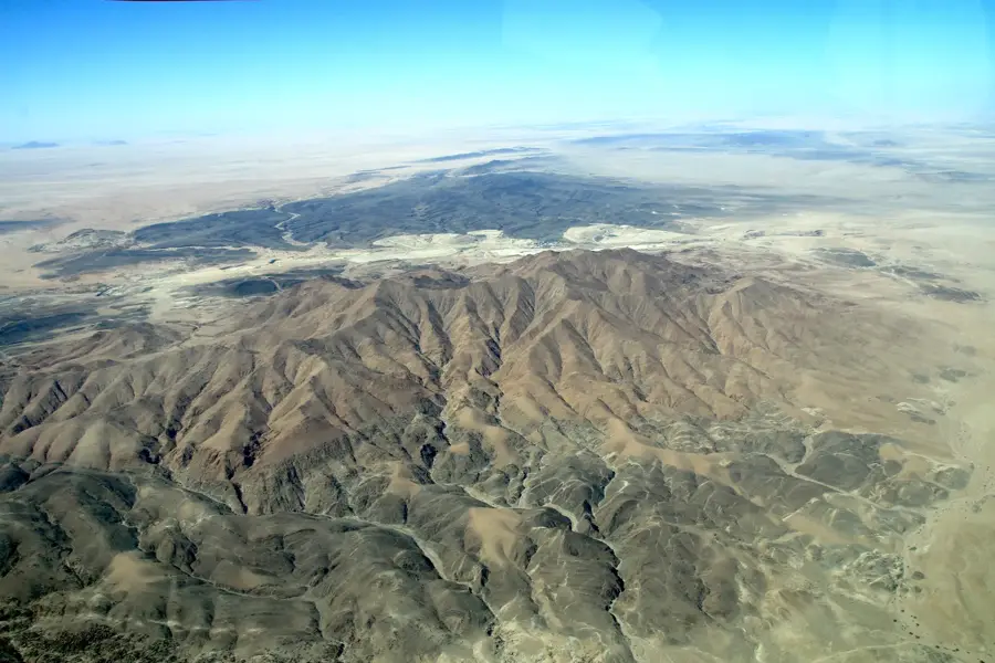
- The river's canyon features diverse geological layers of schist and sand.
Explore nearby
Notable places around
Route planner — Car & Motorhome
Where do you start? We build the route here, with stops and country notes along the way.
© OpenStreetMap contributors · OpenRouteService
Sights nearby
Frequently asked questions
What is the difficulty level for hiking at the Kuiseb River?
When is the best time to visit the Kuiseb River?
Do I need a 4x4 vehicle for access?
Are there restroom facilities or restaurants?
Is there a risk of flash floods?
Kuiseb River: where is it located?
Kuiseb River: when is the best time to visit?
Kuiseb River: why is it worth visiting?

Nearby cities


History & landmarks
Nature
More places