Plizio Visual Lab
Swakop River

Weather…
Water temperature…
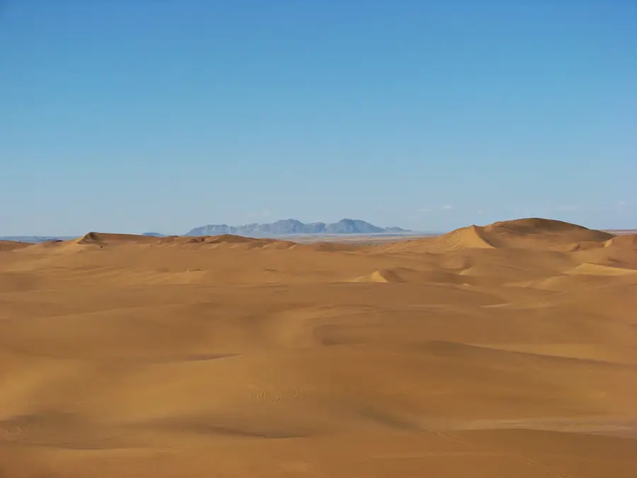
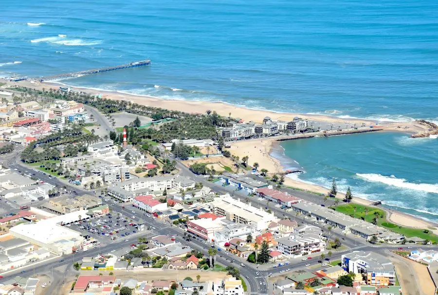
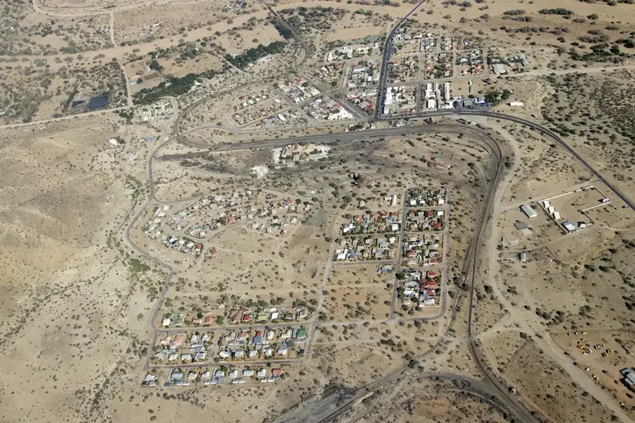
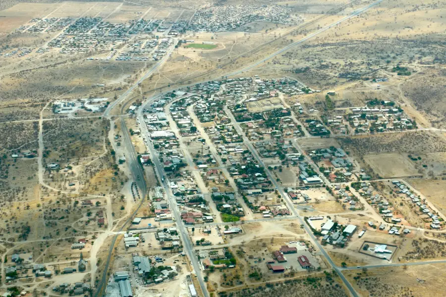
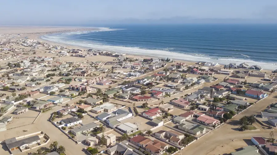
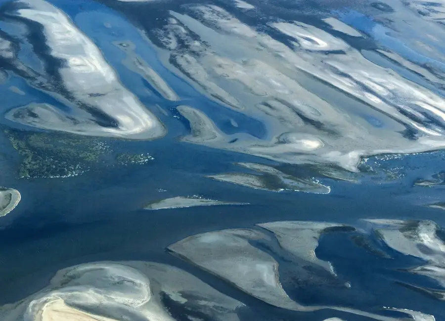
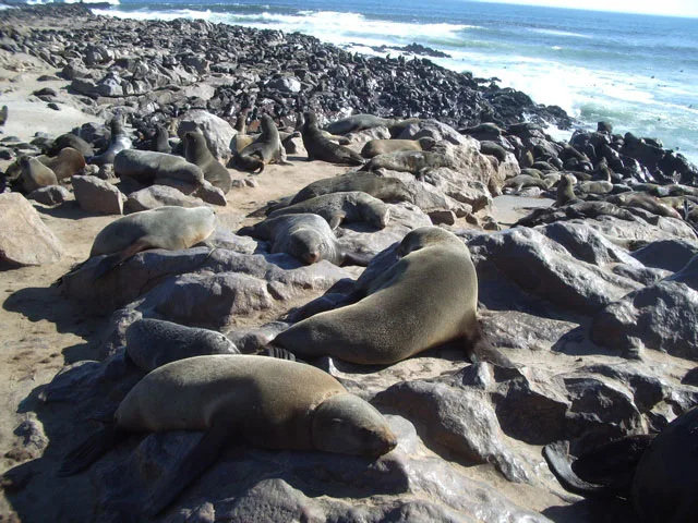
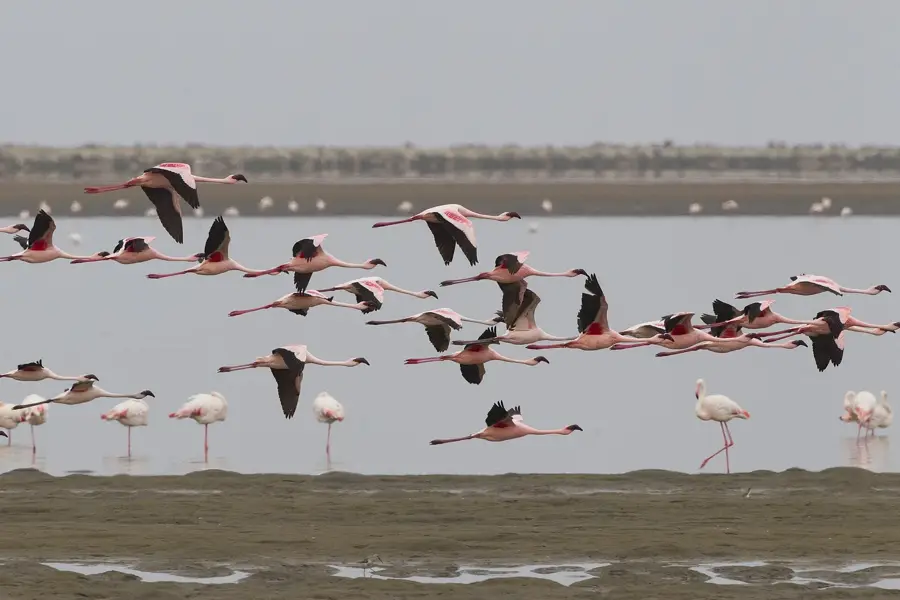
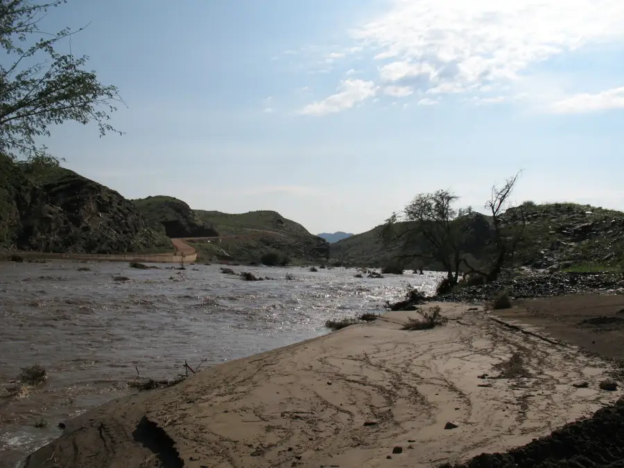
The Swakop River is a major ephemeral river in central Namibia, famous for giving its name to the coastal resort town of Swakopmund. Originating in the Khomas Hochland, it flows westward for about 460 kilometers to reach the Atlantic Ocean. While the riverbed is dry most of the year, its substantial underground flow makes it a vital agricultural artery in an otherwise arid region, supporting various farms that produce vegetables, olives, and even asparagus. The lower Swakop valley is renowned for the 'Moon Landscape,' a highly eroded, desolate range of hills created by the river cutting through soft granite over millions of years, resulting in a terrain that looks extraterrestrial. This valley is also home to the iconic Welwitschia plains, where some of the world's oldest Welwitschia mirabilis plants, some over 1,500 years old, can be found. Historically, the river marked the boundary between different tribal territories and colonial districts. Today, the river's mouth is a protected wetland area, providing a crucial habitat for various migratory birds and serving as a scenic recreational spot.
- Location: Namibia
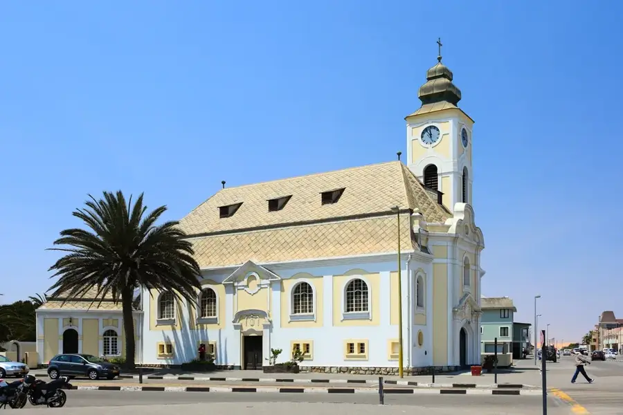
- Nearby: Swakopmund (8 km)
Best time to visit & climate
The most pleasant time to visit is Feb, Mar, May.
| Jan | Feb | Mar | Apr | May | Jun | Jul | Aug | Sep | Oct | Nov | Dec | |
|---|---|---|---|---|---|---|---|---|---|---|---|---|
| Avg °C | 19 | 20 | 20 | 19 | 19 | 17 | 17 | 15 | 15 | 16 | 17 | 18 |
| Rain mm | 18 | 21 | 20 | 21 | 2 | 1 | 1 | 0 | 2 | 5 | 10 | 12 |
📋 Practical info
Geography
Facts
- The Swakop River flows for 460 kilometers from the central highlands.
- The name is derived from the Nama word for 'excrement' due to muddy floods.
- The 'Moon Landscape' hills are approximately 460 million years old.
- Welwitschia mirabilis plants in this valley can live up to 1,500 years.
- The river basin is a significant source of groundwater for coastal towns.
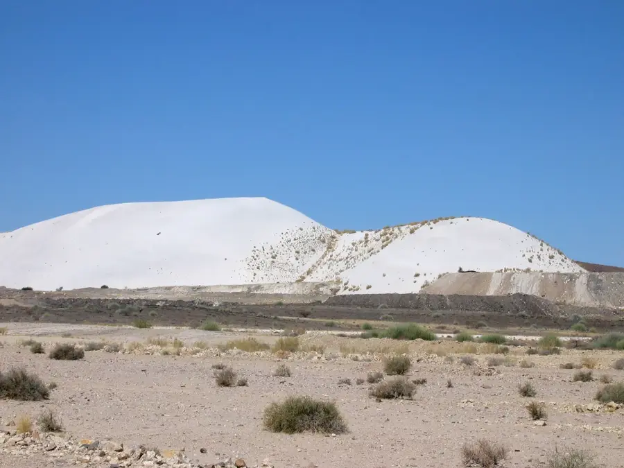
- The Swakopmund salt works near the mouth utilize the local conditions.
Explore nearby
Notable places around
Route planner — Car & Motorhome
Where do you start? We build the route here, with stops and country notes along the way.
© OpenStreetMap contributors · OpenRouteService
Sights nearby
Frequently asked questions
Is the Swakop River a perennial river?
Can you camp in the Swakop riverbed?
Are there any wildlife to spot?
Is photography allowed in the riverbed?
How long does a tour through the river valley take?
Swakop River: where is it located?
Swakop River: when is the best time to visit?
Swakop River: why is it worth visiting?

Nearby cities


History & landmarks


Nature
More places