Plizio Visual Lab
Saylyugem Mountains
Weather…
Water temperature…
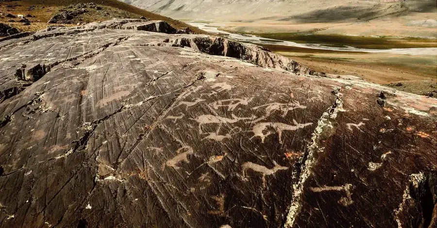
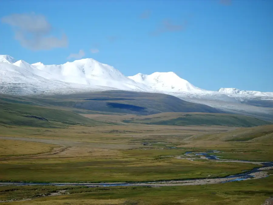
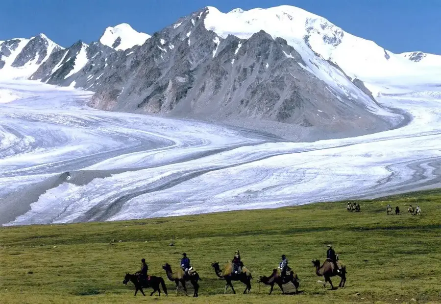
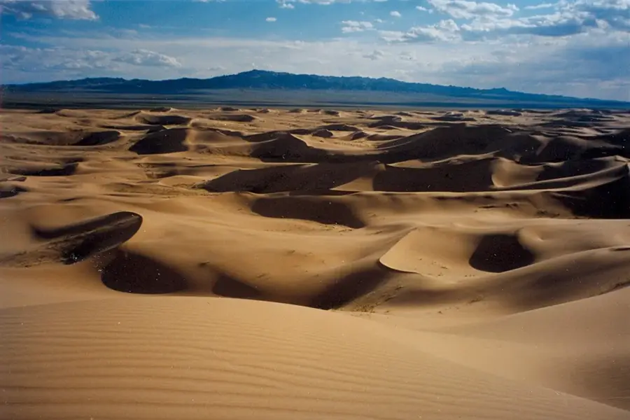
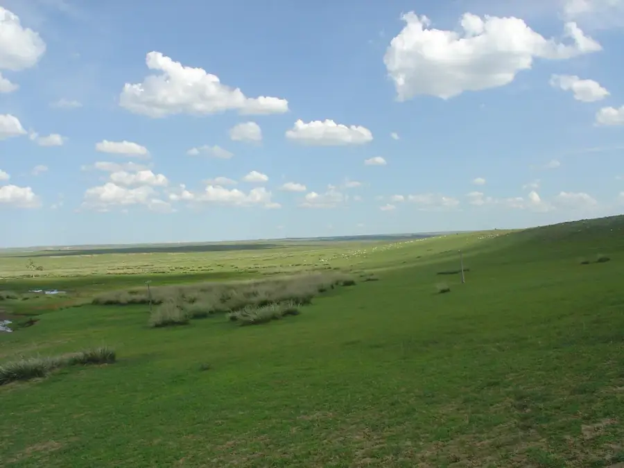
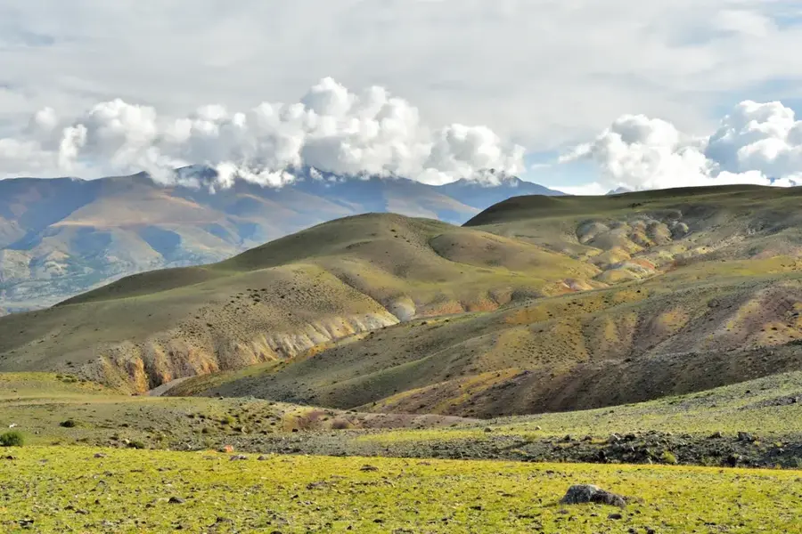
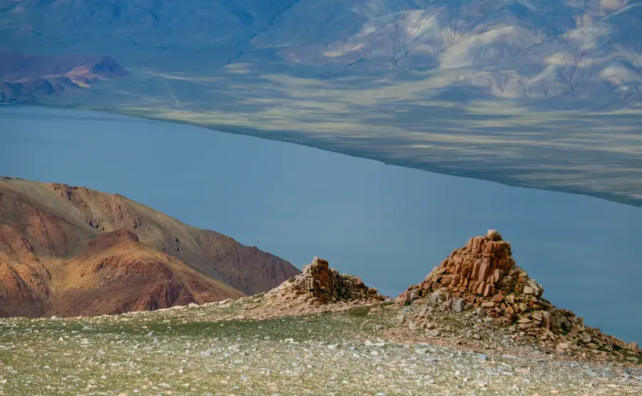
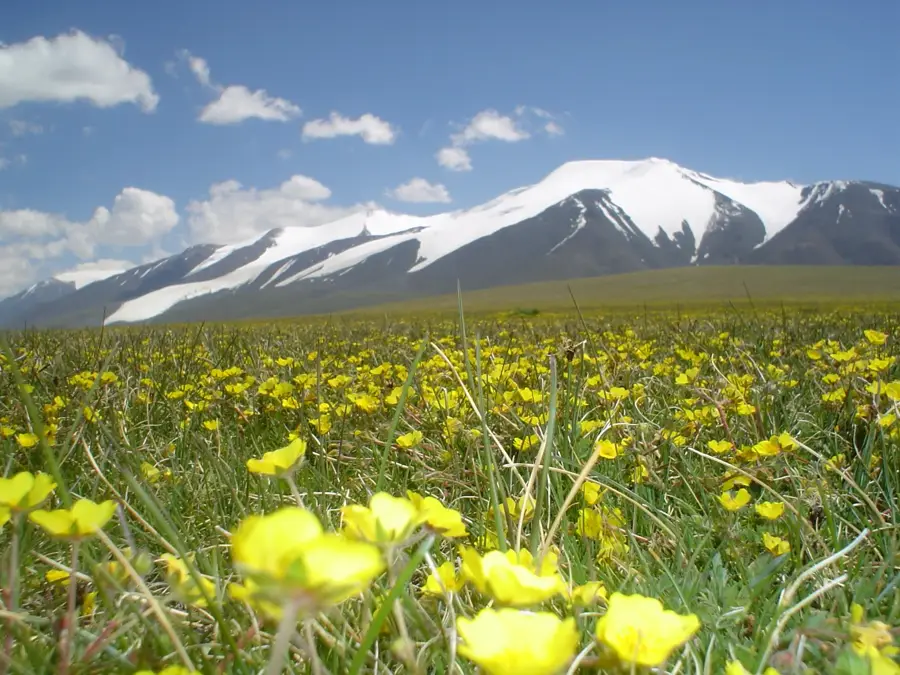
The Saylyugem Mountains are a vital border range within the Altai mountain system, stretching between the Altai Republic of Russia and the Bayan-Ölgii Province of Mongolia. Spanning approximately 130 kilometers in length, the range reaches elevations of up to 3,500 meters. It functions as a significant continental divide, separating the headwaters of the Ob River from the internal drainage basins of Central Asia. Geologically, the range consists of ancient Proterozoic and Paleozoic rocks that were sculpted by extensive Pleistocene glaciations, resulting in broad high-altitude plateaus and U-shaped valleys. The climate is intensely continental and arid, with fierce winds and temperatures that remain below freezing for more than half the year. Historically, the Saylyugem pass has been a crucial route for trade and migration, as evidenced by numerous archaeological sites, including Scythian kurgans and Bronze Age petroglyphs. Today, the area is protected on the Russian side by the Saylyugemsky National Park, which serves as a critical refuge for the endangered snow leopard and the world's largest population of Altai argali wild sheep.
- Location: Mongolia
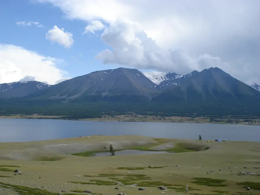
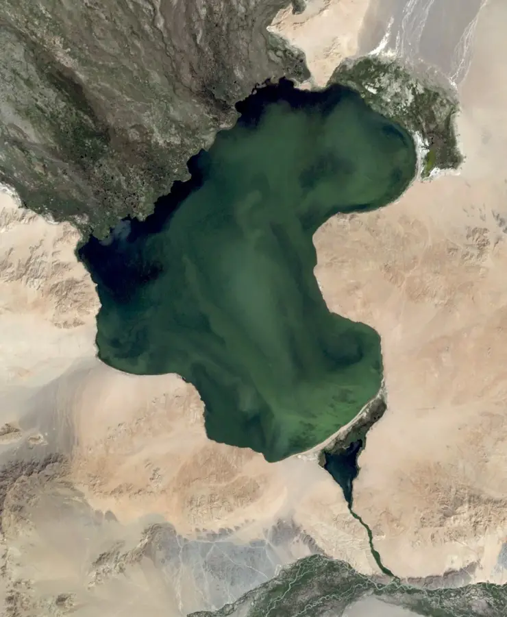
- Nearby: Khoton Lake (78 km)
Best time to visit & climate
The most pleasant time to visit is Jun–Aug.
| Jan | Feb | Mar | Apr | May | Jun | Jul | Aug | Sep | Oct | Nov | Dec | |
|---|---|---|---|---|---|---|---|---|---|---|---|---|
| Avg °C | -23 | -20 | -13 | -4 | 2 | 8 | 10 | 8 | 2 | -5 | -14 | -21 |
| Rain mm | 4 | 4 | 7 | 12 | 21 | 40 | 51 | 40 | 16 | 9 | 8 | 5 |
📋 Practical info
Geography
Facts
- The highest elevations in the Saylyugem Mountains reach about 3,500 meters.
- The mountain range extends for a total distance of 130 kilometers.
- Saylyugemsky National Park was established in 2010 to protect local wildlife.
- The range is home to the world's largest population of Altai argali sheep.
- This mountain range serves as the official border between Russia and Mongolia.
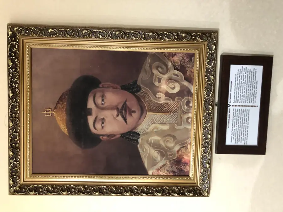
- The region contains well-preserved Scythian burial mounds from the Pazyryk culture.
Explore nearby
Notable places around
Route planner — Car & Motorhome
Where do you start? We build the route here, with stops and country notes along the way.
© OpenStreetMap contributors · OpenRouteService
Sights nearby
Frequently asked questions
How is the best way to explore the Saylyugem Mountains?
Is wild camping allowed?
How is the infrastructure?
When is the weather most stable?
Is the region suitable for families?
Saylyugem Mountains: where is it located?
Saylyugem Mountains: when is the best time to visit?
Saylyugem Mountains: why is it worth visiting?

Nearby cities

More places