Plizio Visual Lab
Nairamdal Peak

Weather…
Water temperature…
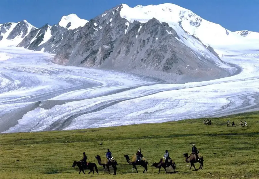
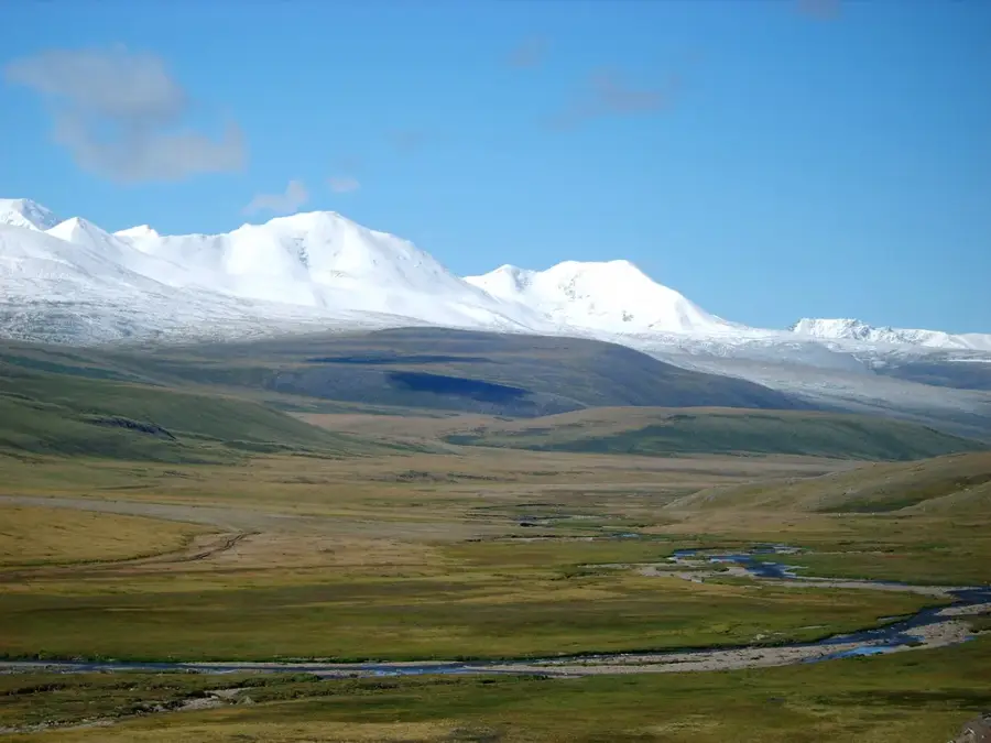
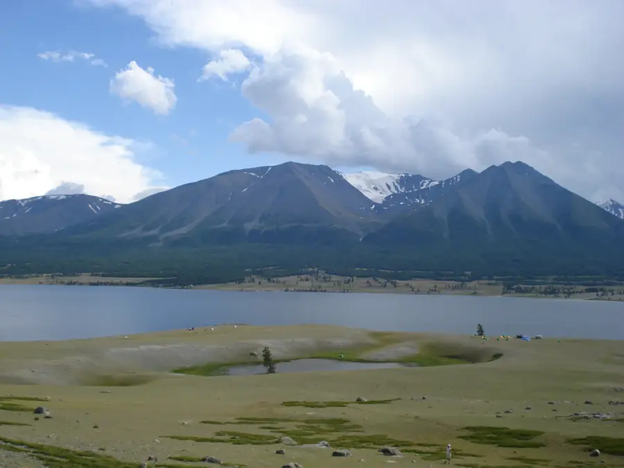
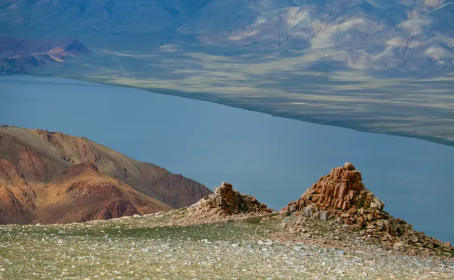
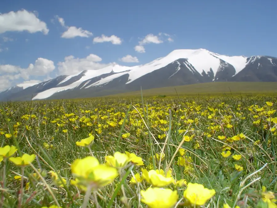
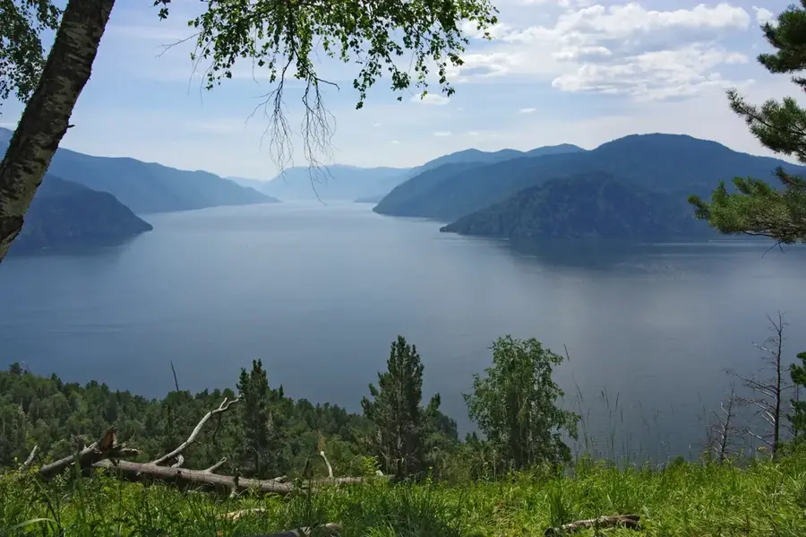
Nairamdal Peak, also known as Friendship Peak, is a significant summit in the Tavan Bogd massif of the Altai Mountains, reaching an altitude of 4,180 meters. Its most distinguishing feature is its location as the tri-point where the borders of Mongolia, Russia, and China meet. Geologically, the peak is formed from ancient igneous and metamorphic rocks, heavily sculpted by glacial erosion over millennia. It is permanently shrouded in ice and snow, feeding into the massive Potanin and Alexander glaciers that flow down its flanks. The name 'Nairamdal' translates to 'Friendship' in Mongolian, signifying the diplomatic bond between the three neighboring powers. Climbing Nairamdal is a serious undertaking that requires technical mountaineering experience, specialized gear, and careful navigation of deep glacial crevasses. The region is part of the Altai Tavan Bogd National Park and remains one of the most remote and pristine high-altitude environments in Central Asia. Due to its strategic border location, visitors must obtain special permits and often encounter extreme weather conditions, including hurricane-force winds and sub-zero temperatures.
- Location: Mongolia
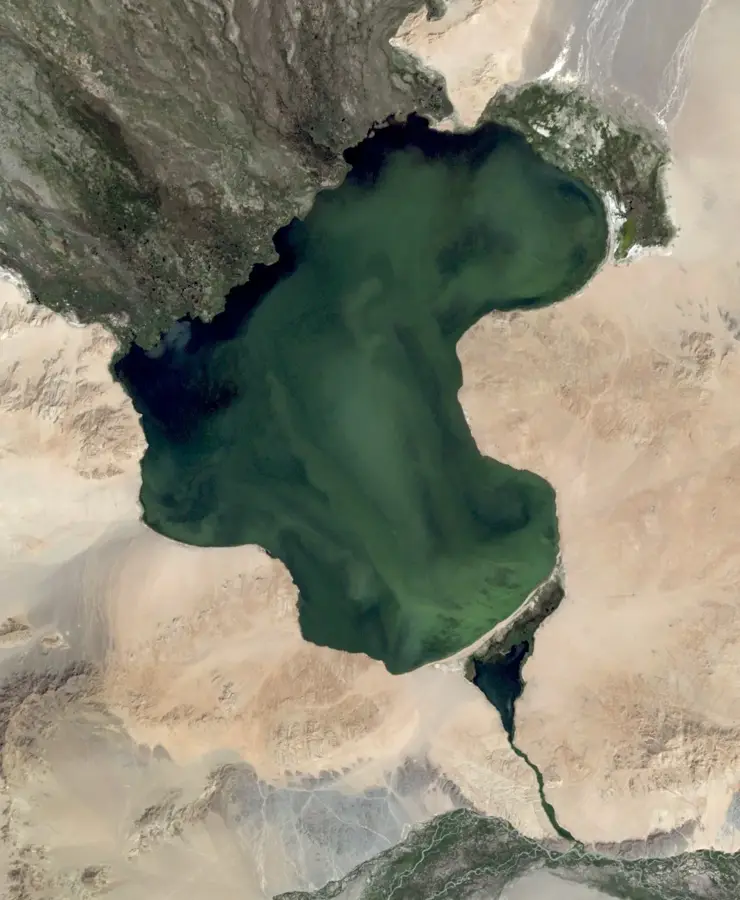
- Nearby: Khoton Lake (54 km)
Best time to visit & climate
The most pleasant time to visit is Jun–Aug.
| Jan | Feb | Mar | Apr | May | Jun | Jul | Aug | Sep | Oct | Nov | Dec | |
|---|---|---|---|---|---|---|---|---|---|---|---|---|
| Avg °C | -24 | -21 | -15 | -7 | 1 | 7 | 9 | 7 | 1 | -7 | -16 | -22 |
| Rain mm | 12 | 10 | 14 | 22 | 29 | 43 | 49 | 38 | 24 | 21 | 18 | 13 |
📋 Practical info
Geography
Facts
- Standing at a height of 4,180 meters above sea level
- Serves as the triple border point for Mongolia, Russia, and China
- Named 'Friendship Peak' to honor international relations
- Covered by permanent ice fields and glacial systems
- The second highest peak in the Tavan Bogd mountain range
- Located in an extremely remote area requiring special border permits
Explore nearby
Notable places around
Route planner — Car & Motorhome
Where do you start? We build the route here, with stops and country notes along the way.
© OpenStreetMap contributors · OpenRouteService
Sights nearby
Frequently asked questions
Is Nairamdal-Gipfel a border mountain?
Can you climb Nairamdal-Gipfel without a guide?
What equipment is needed for the summit?
Is there avalanche danger in summer?
Is the summit suitable for beginners?
Nairamdal Peak: where is it located?
Nairamdal Peak: when is the best time to visit?
Nairamdal Peak: why is it worth visiting?

Nearby cities


Nature
More places